Trail Overview
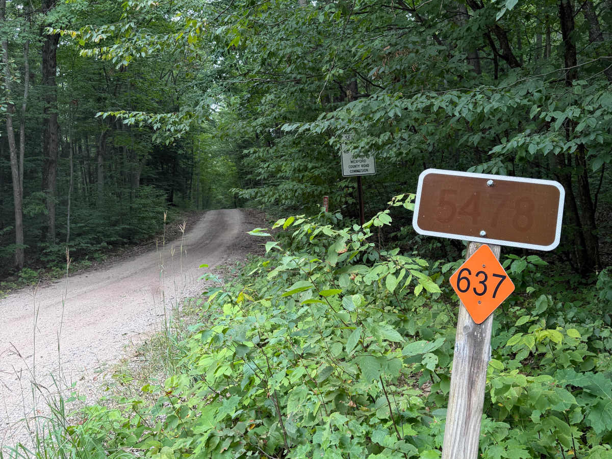
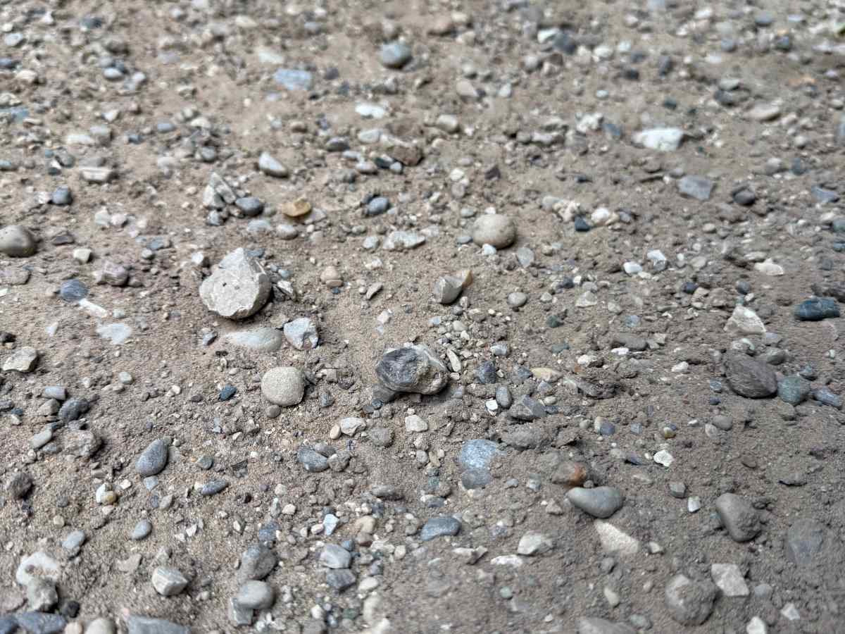
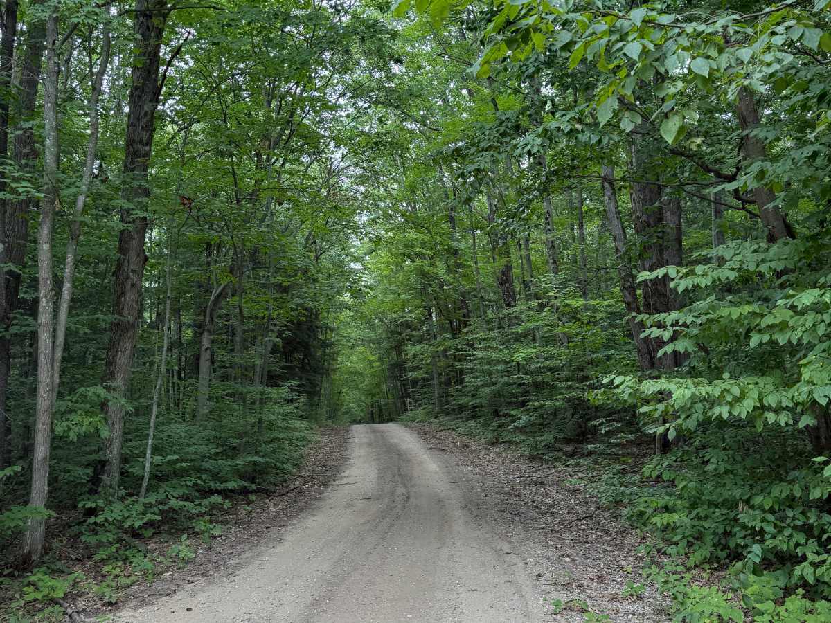
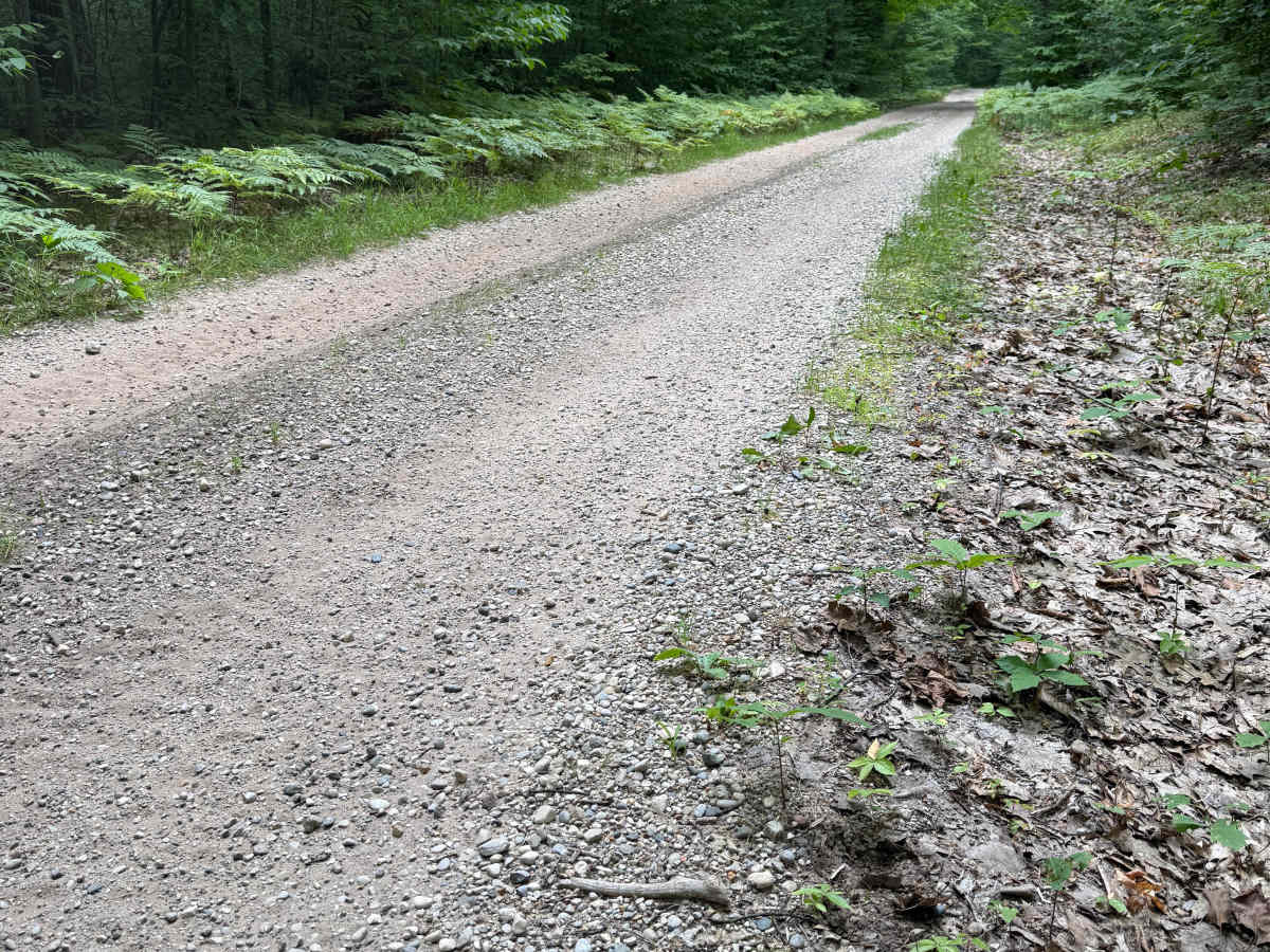
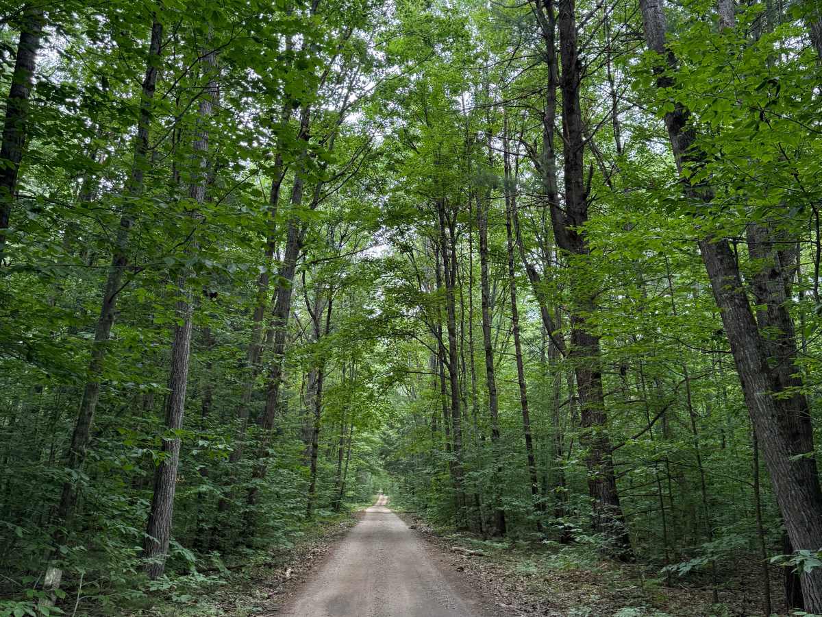
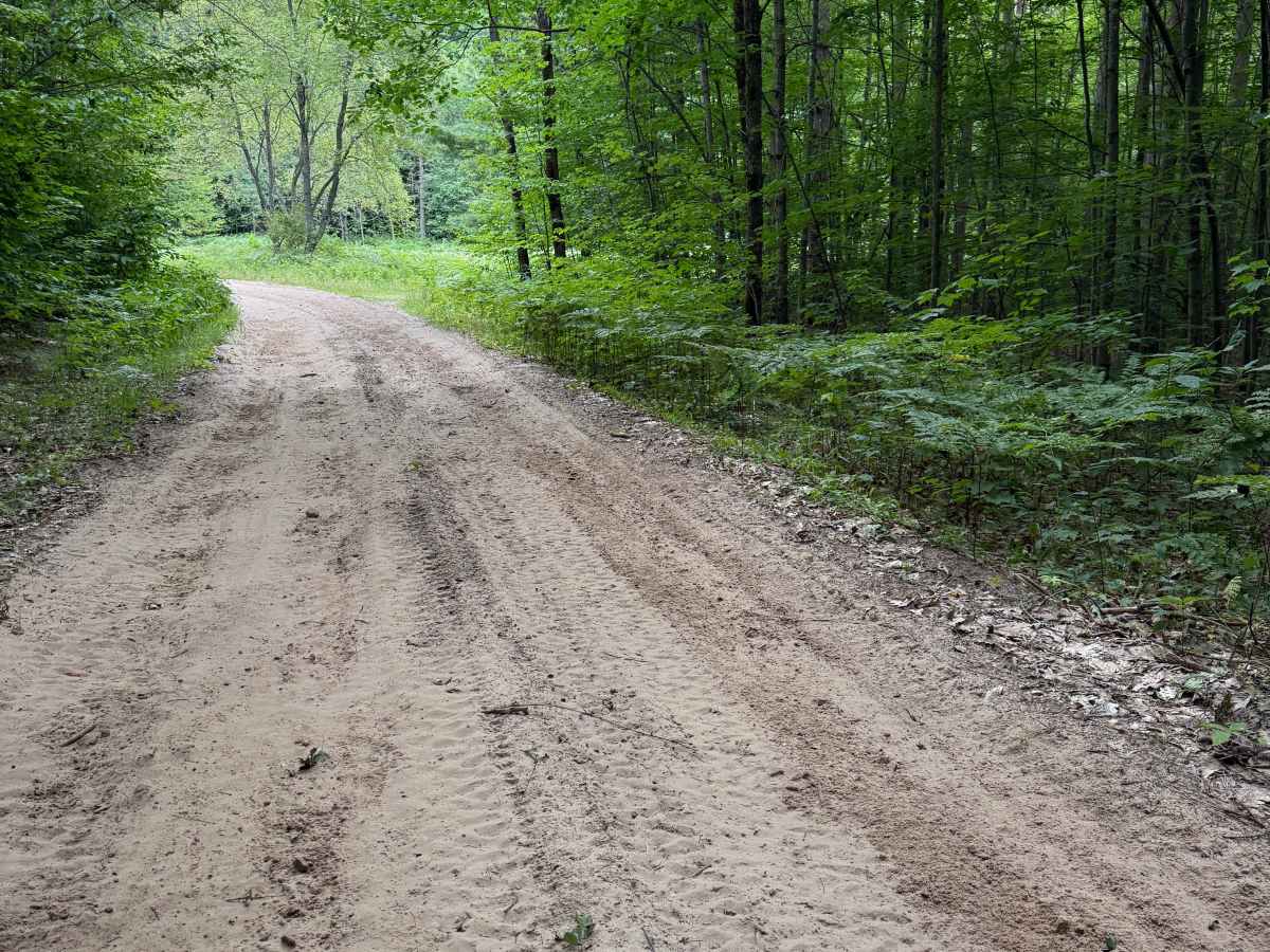
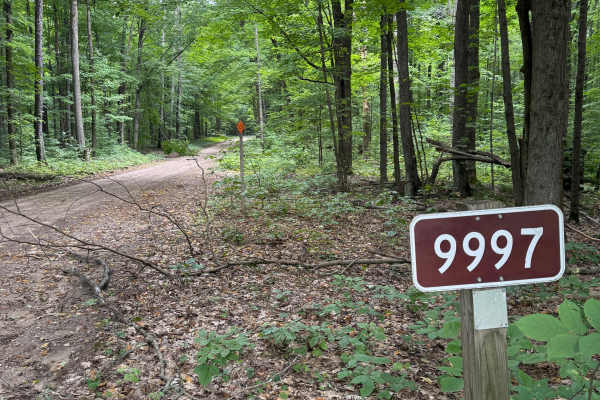
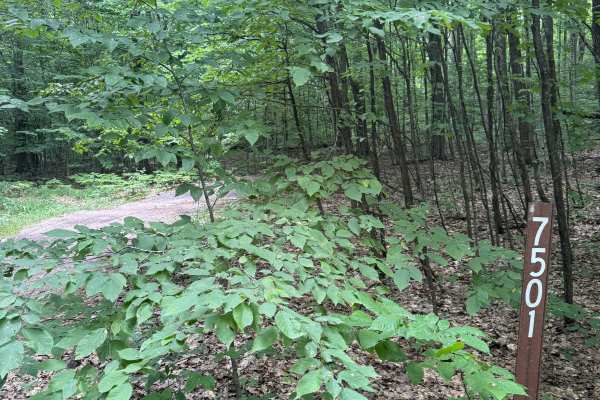
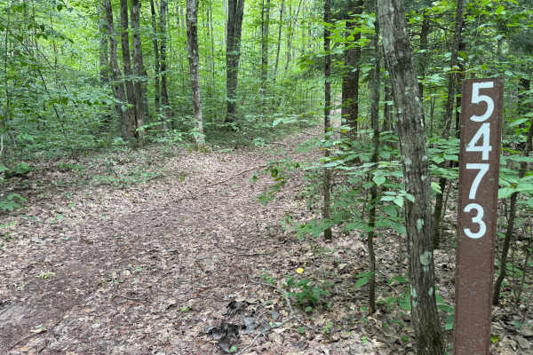
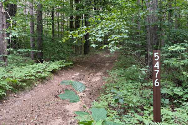
FS 5478 is a bidirectional trail within the Manistee National Forest. Located near Highway M-37 & Caberfae Peaks Ski & Golf Resort, this trail is easily accessible. Most of the trail is a combination of sand, gravel, and dirt. This trail has seasonal dates. It is open to ORV's such as SxS, dirt bikes, ATVs, etc from 04/01 - 11/30. Highway Legal Vehicle use is open year-round. Starting out from the western end, you'll begin in a dense section of the forest. As you continue, the trail descends in elevation all the way to the end. The trail eventually begins to get sandy and thus has washboard sections. Just like anywhere on these beautiful lands, PLEASE TREAD LIGHTLY and be respectful of our public lands so future generations can have access to these trails! Like most of Michigan trails, conditions are dependent on the weather. Recent rainfall can cause downed trees, washouts, & mud holes. Most of this trail is only wide enough for 1 vehicle with limited places to pass. The eastern end of this trail finishes at a T with NFS 9875. Although there aren't any notable obstacles and this trail is not difficult, it still offers incredible views of the forest and access to other recreation in this area!