Trail Overview
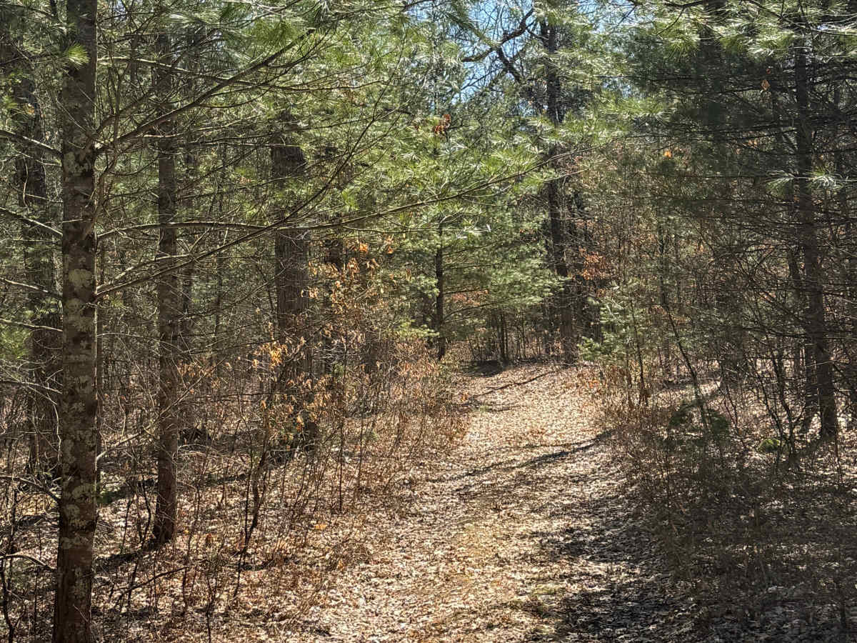
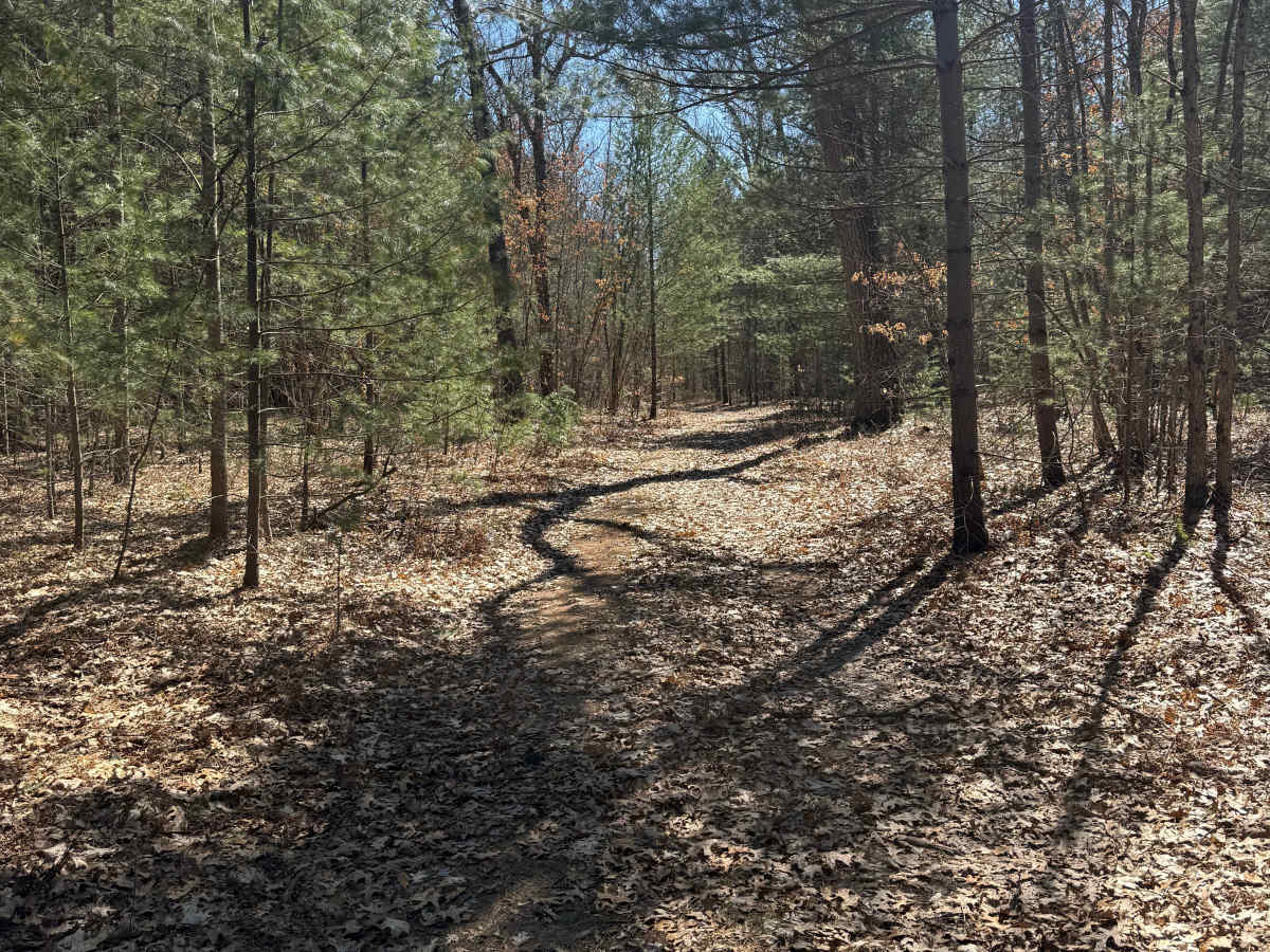
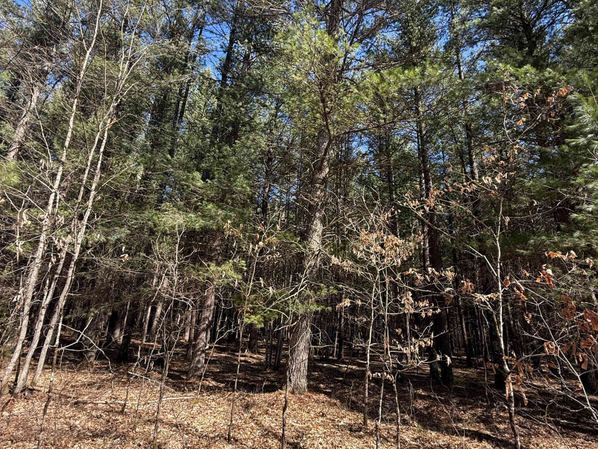
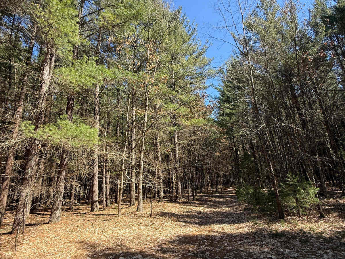
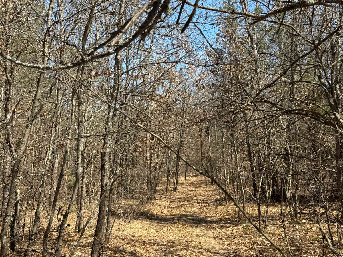
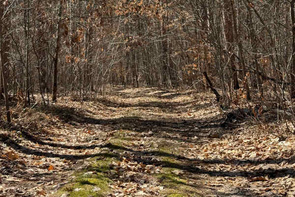
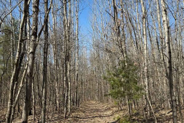
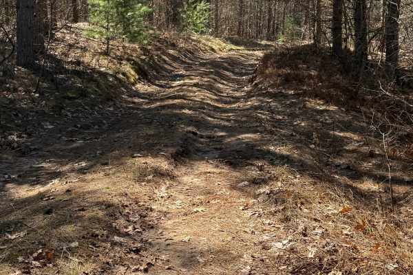
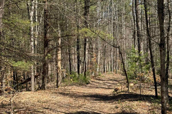
FS 5077 is an exciting and fun, almost 1-mile bidirectional trail within the Manistee National Forest. Located off Cedar Creek Road or North High Bridge Road, this trail is easily accessible from either end. Starting from the north end off Cedar Creek Road, you'll start in a dense section of the forest with some vegetation edging the trail. As you continue down the trail, you'll twist and turn as you change back and forth in elevation. Several sections are tighter than most of the rest of the trail, so be careful and keep your eye on the trail. Like most of Michigan off-road trails, conditions are dependent on the weather. Recent rainfall can cause unfavorable conditions on the trail, including downed trees, mud holes, and washouts. Come Prepared! Most of this trail is only wide enough for 1 vehicle with limited places to pass. This is not a difficult trail at all, but it contains a lot of fun and beauty. This trail also gives access to other great trails nearby. The eastern end of the trail finishes at North High Bridge Road, which can either lead you to other wonderful trails or a way to get back home after a long journey.