FS 4481

Total Miles4.3
Technical Rating
2Easy
Best TimeSpring, Summer, Fall
Trail TypeFull-Width Road
Accessible By

Open Trail Map

Trail Overview

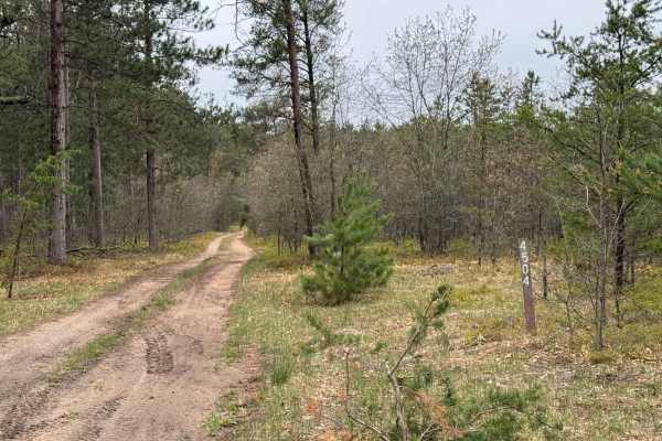
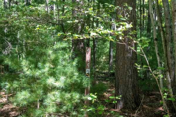
FS 4481 is a faster-paced sandy two-track that travels through rolling hills in a section of forest that has been clear-cut. New growth surrounds much of the trail, with several areas offering long-range views across the surrounding forest. About halfway through the route, the trail crosses two main roads. Use caution at these crossings, as cross traffic does not stop. The east end connects with South Meridian Road, while the north end connects with River Lake - FS 4210. Due to the faster pace of this route, be aware of other trail traffic and maintain a safe speed. Stay on the established trail and follow Tread Lightly and Leave No Trace principles to help protect the surrounding forest.

Photos of FS 4481

Difficulty

This route is easily traversed by most rigs. The base of the trail is sandy, with only a couple of spots with deep, loose sand. This trail is only one vehicle wide.

Technical Rating

2

FS 4481 Trail can be accessed by the following ride types:

  • Single Track
  • 50 Inch
  • 60 Inch
  • High Clearance
  • Full Width

FS 4481 Map

The onX Offroad Difference

onX Offroad combines trail photos, descriptions, difficulty ratings, width restrictions, seasonality, and more in a user-friendly interface. Available on all devices, with offline access and full compatibility with CarPlay and Android Auto. Discover what you're missing today!

Open Trail Map