Trail Overview
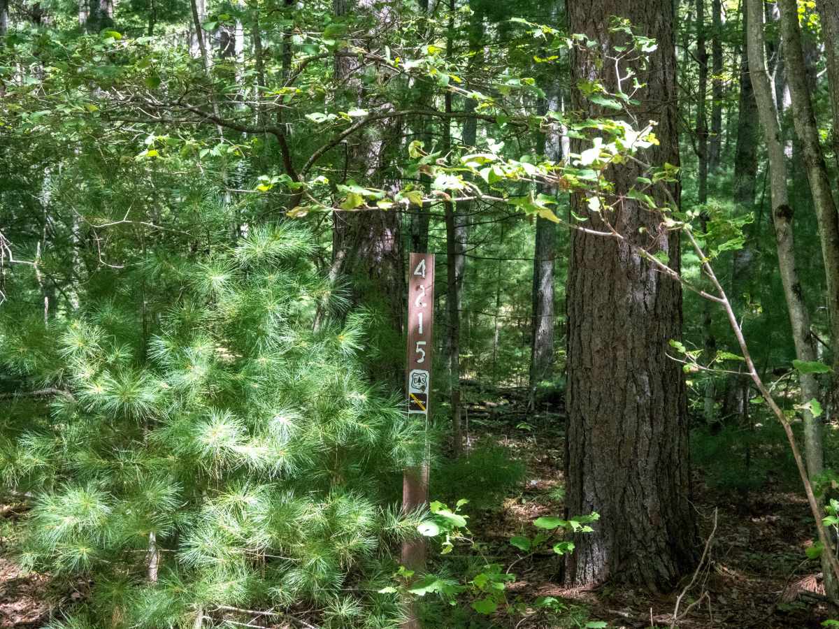
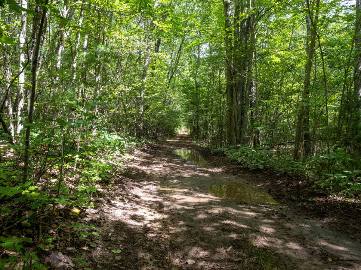
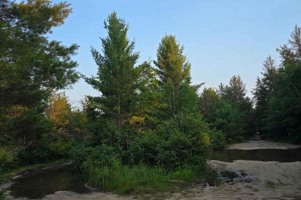
FS 4215 is a standard Northern Michigan two-track with a sandy base and several rocky stretches. Under normal trail conditions, 2WD vehicles should have no trouble navigating the route. There are a handful of low-lying sections that can become wet and muddy following rainfall, so conditions can change quickly. Most of the trail travels through dense forest, while the northern half mile opens up along a power line corridor, providing more expansive views of the surrounding area. The south end of the trail can be accessed from County Line Road- FS 4230, while the north end connects to South Meridian Road. Both routes offer additional opportunities to continue exploring the surrounding area. As with any forest route, stay on the established trail and avoid driving around wet or muddy sections to prevent unnecessary damage to the surrounding terrain. Following Tread Lightly and Leave No Trace principles helps keep these routes accessible and protects the forest for future visitors.
Difficulty
FS 4215 is a standard Northern Michigan two-track with a sandy base and several rocky stretches. Under normal trail conditions, 2WD vehicles should have no trouble navigating the route. There are a handful of low-lying sections that can become wet and muddy following rainfall, so conditions can change quickly.






 Offroad