Trail Overview
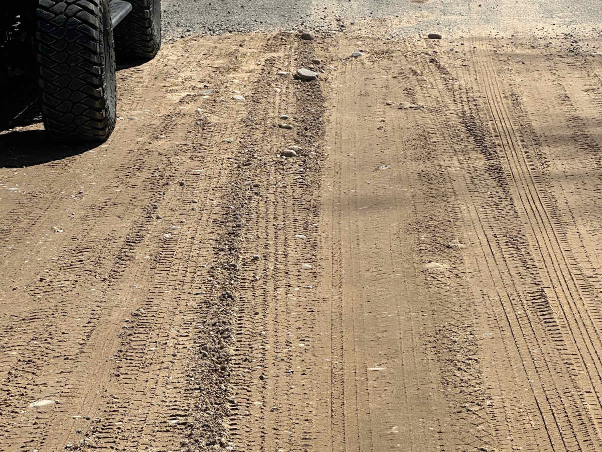
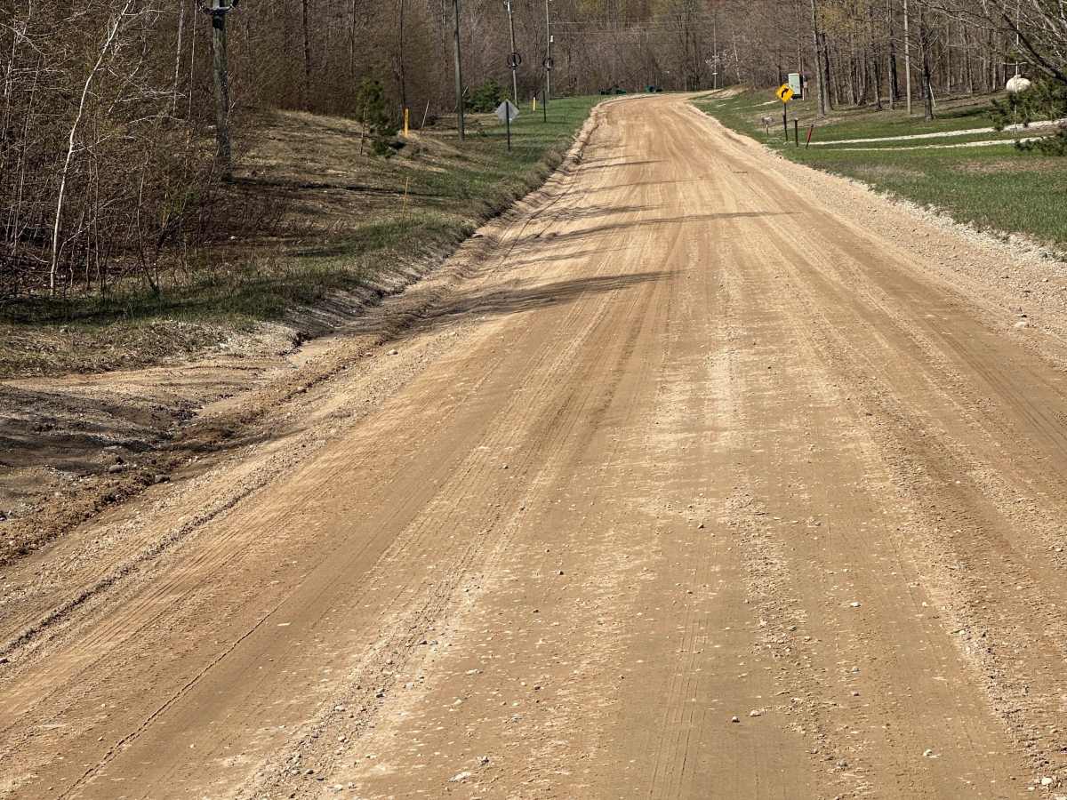
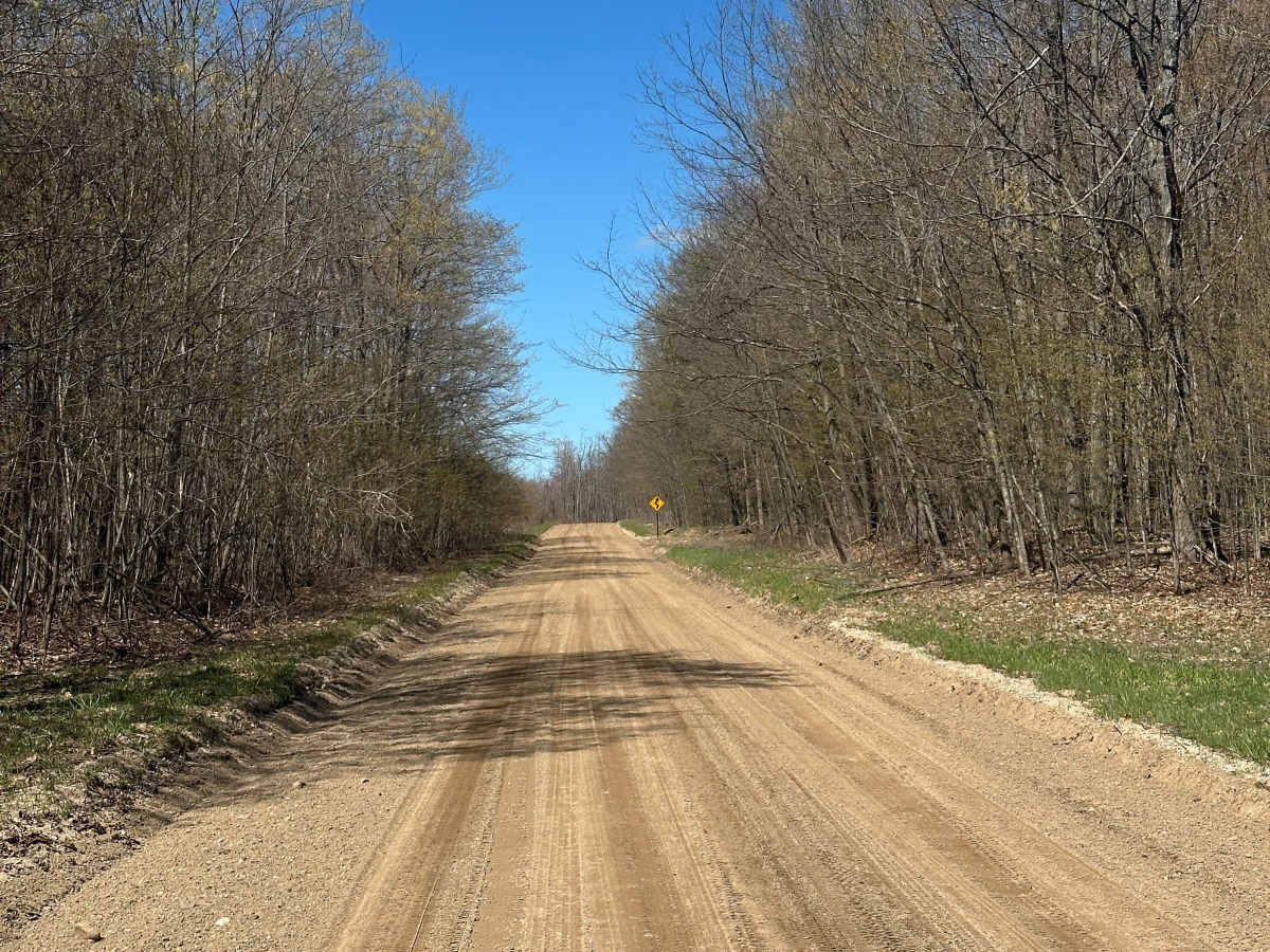
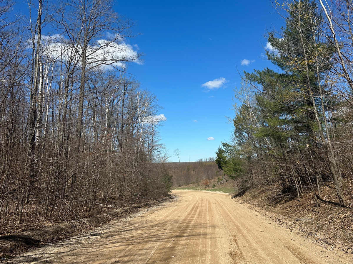
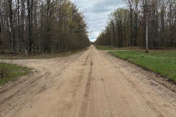
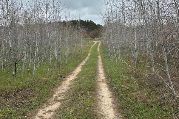
Cameron Bridge Road is a double-lane dirt, gravel, and sand road running through Crawford County in Northern Michigan. As part of the Grayling Forest Management Unit, the route travels through a scenic landscape of pines and hardwoods, offering opportunities to view local wildlife. The road features a mostly solid base with some soft sand sections, and is wide enough in many spots for oncoming vehicles to pass safely.
This 2.7-mile trail can be driven in either direction and connects with the Frederic Route as well as multiple other off-road trails in the surrounding network. Due to its solid surface and low elevation changes, the trail is highly accessible and suitable for most vehicles. Drivers should remain on the designated path and practice Tread Lightly principles to preserve the forest ecosystem.
Access Description
Cameron Bridge Road is a public county road managed by the Crawford County Road Commission. Street-legal vehicles do not require permits, but non-street-legal off-road vehicles (ORVs) must display a valid Michigan Department of Natural Resources (DNR) ORV License. Crawford County allows ORVs to operate on the far right maintained portion of county roads. A Recreation Passport is required if parking at nearby state forest trailheads or recreation areas.

 Offroad