Cameron Bridge Cutover

Total Miles2.9
Technical Rating
2Easy
Best TimeSpring, Summer, Fall
Trail TypeFull-Width Road
Accessible By
Open Trail Map

Trail Overview

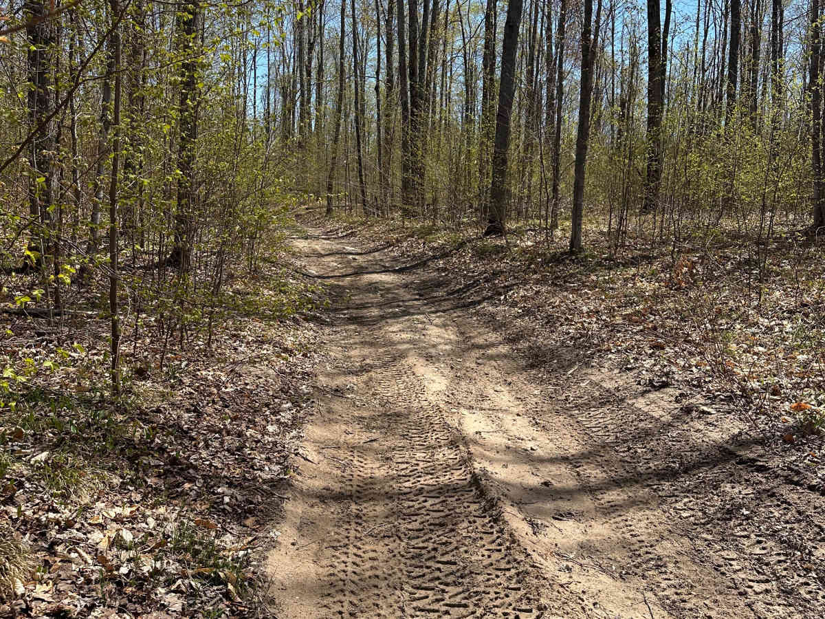
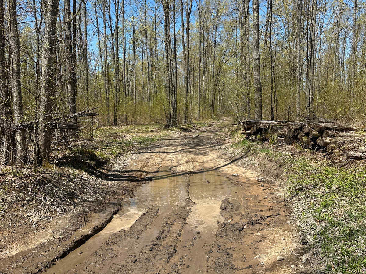
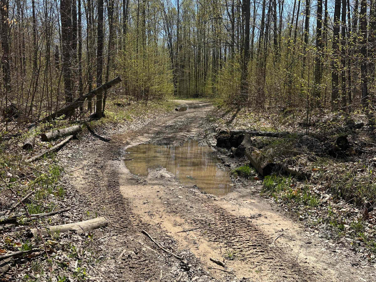
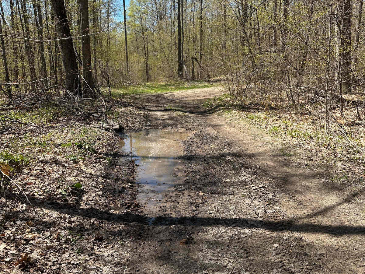
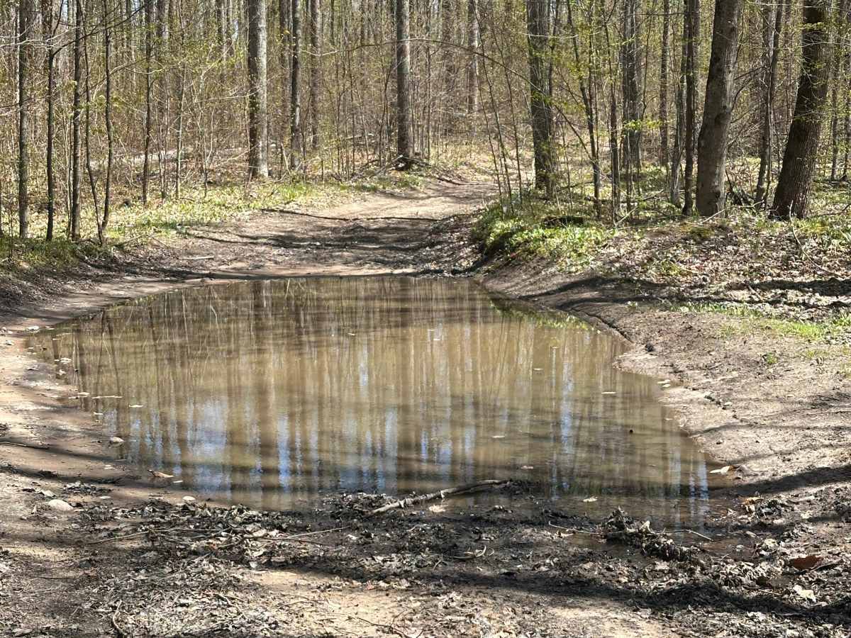
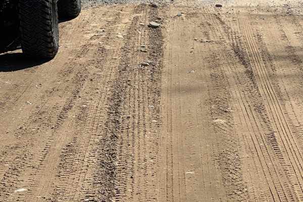
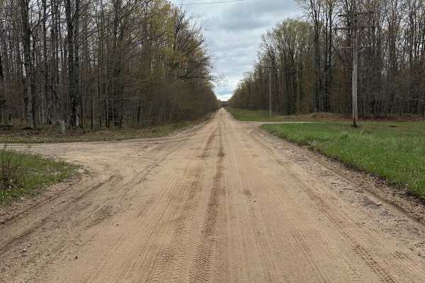
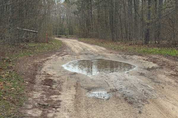
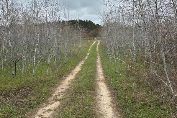
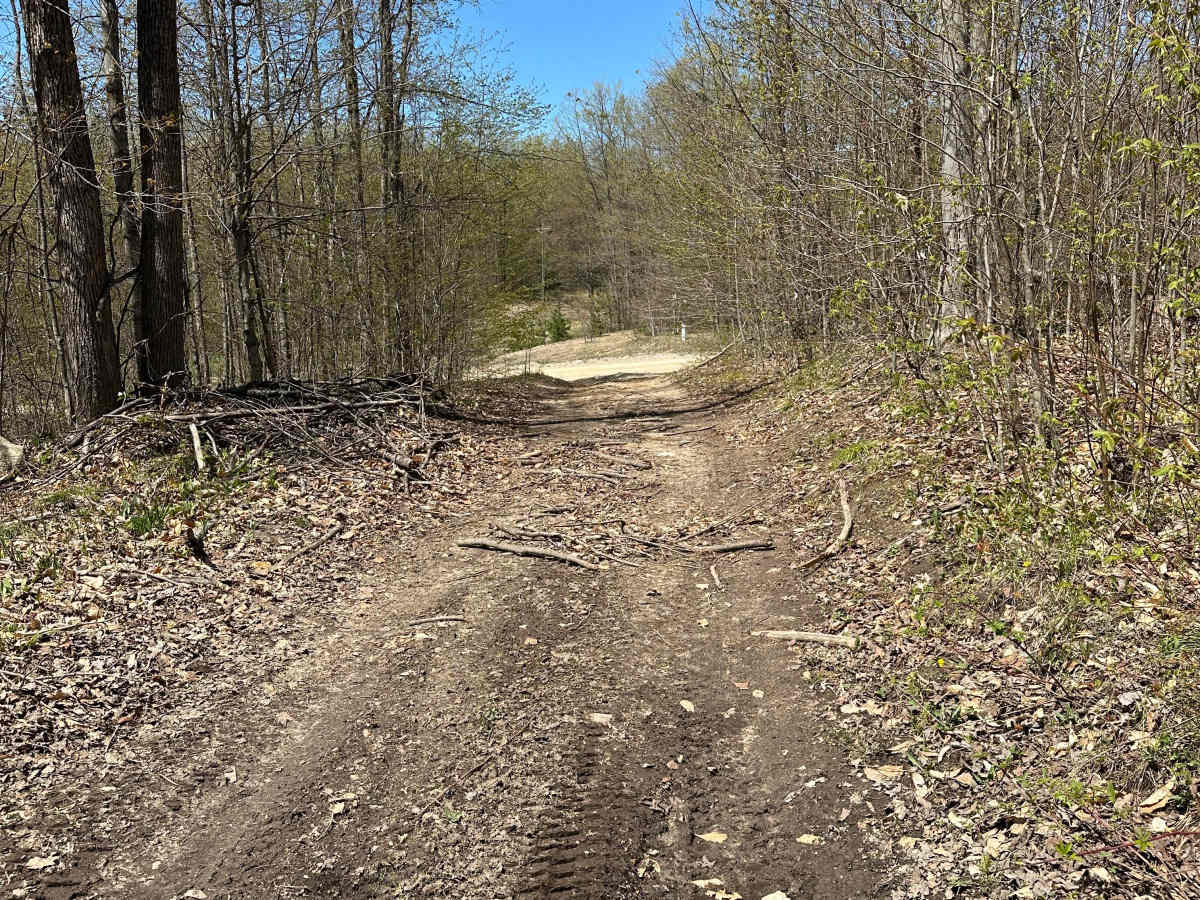
Cameron Bridge Cutover is a single-lane sand-and-dirt road within the Grayling Forest Management Unit. Winding through pine and hardwood forests, the route offers opportunities to observe wildlife along the way. Expect loose sand, occasional water holes, and narrow sections. The trail can be traveled in either direction. Please stay on designated trails and follow Tread Lightly principles.

Photos of Cameron Bridge Cutover

Difficulty

This trail is rated a 2 because you may encounter waterholes depending on the time of year.

Technical Rating

2

Cameron Bridge Cutover Trail can be accessed by the following ride types:

  • Single Track
  • 50 Inch
  • 60 Inch
  • High Clearance
  • Full Width

Cameron Bridge Cutover Map

The onX Offroad Difference

onX Offroad combines trail photos, descriptions, difficulty ratings, width restrictions, seasonality, and more in a user-friendly interface. Available on all devices, with offline access and full compatibility with CarPlay and Android Auto. Discover what you're missing today!

Open Trail Map