Blueberry Alley

Total Miles0.2
Technical Rating
2Easy
Best TimeSpring, Summer, Fall
Trail TypeFull-Width Road
Accessible By
Open Trail Map

Trail Overview

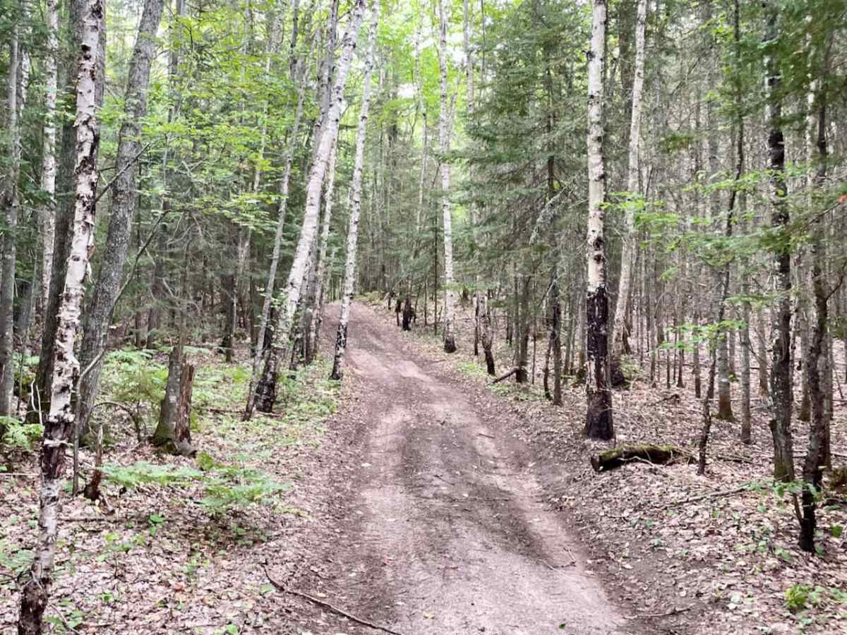
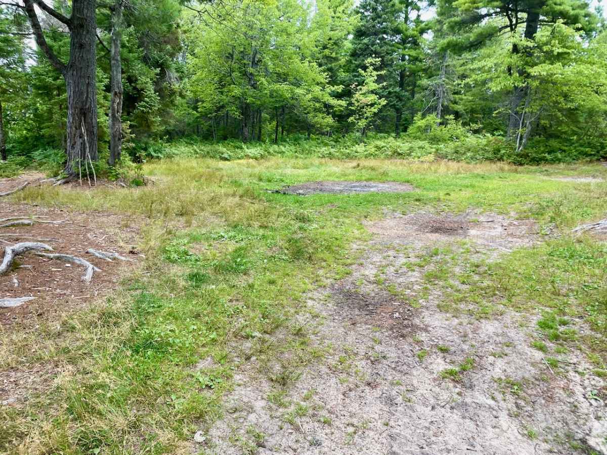
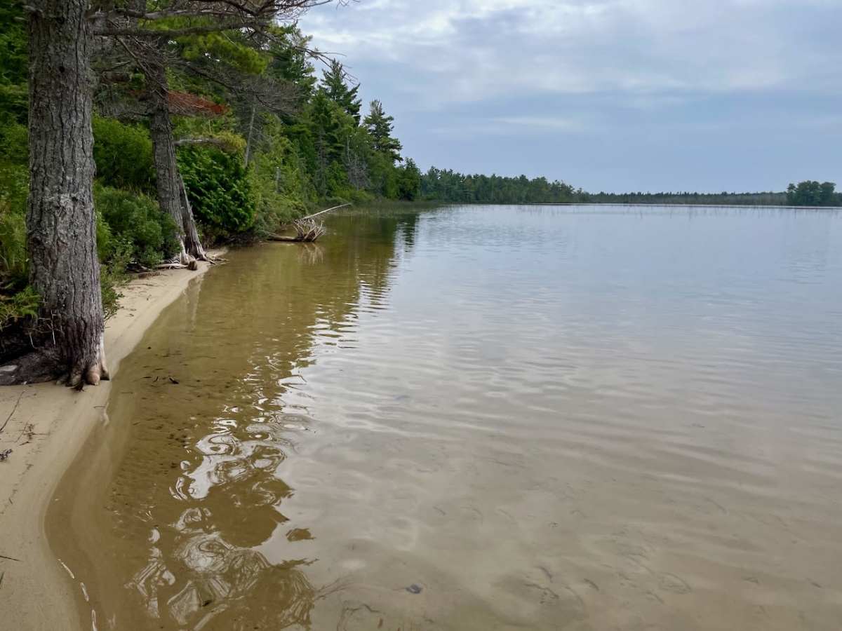
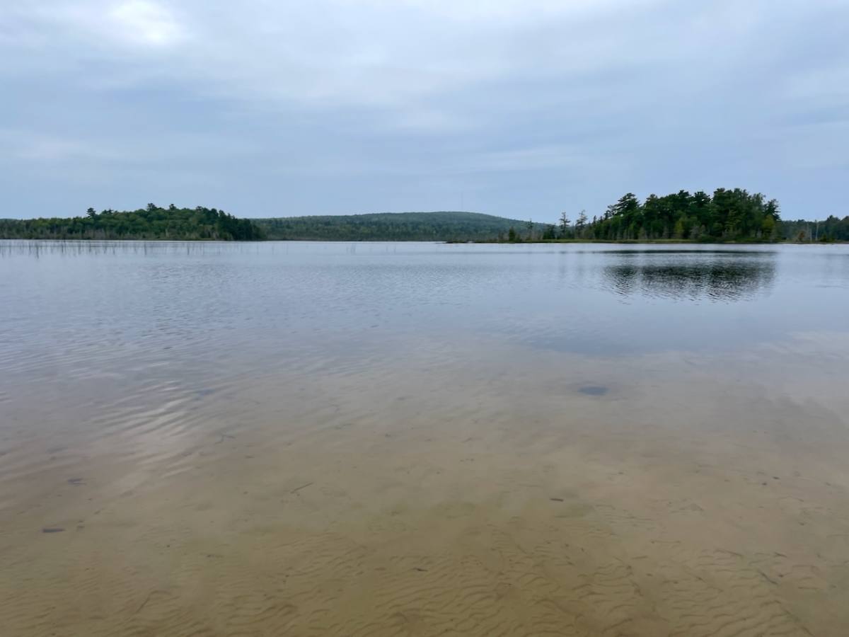
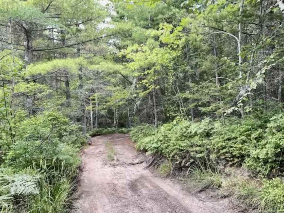
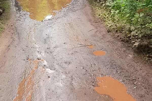
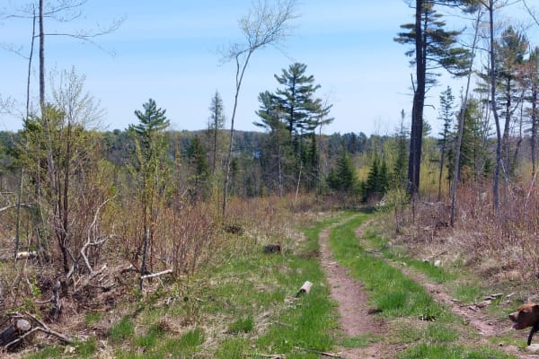
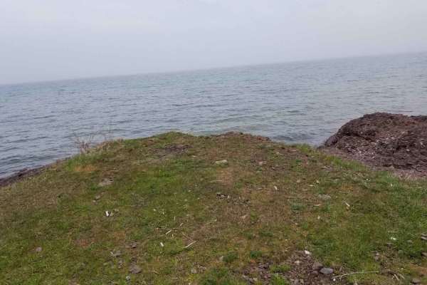
This is a short spur trail off of the Schlatter Lake Trail, leading to a small beach and campsite on the beautiful and remote Schlatter Lake (excellent swimming and fishing). This seems to be the only way to access the east side of this gem of a lake. The trail is narrow and might be a bit tight for a full-sized truck. We scraped some small branches with a 4Runner. The trail surface is mostly sand and dirt with a few rocky places. There are no challenging areas on the trail, but there is a deep cut area that may fill with 18-inch water in the spring. This also happens to be the namesake of the trail, as the cut is bordered by bountiful blueberry bushes. On the way there, we saw a family of four otters make their way across the trail and head for the lake.

Photos of Blueberry Alley

Difficulty

Other than the tight spots between some trees and a possible water hole, this is an easy trail.

Technical Rating

2

Blueberry Alley Trail can be accessed by the following ride types:

  • Single Track
  • 50 Inch
  • 60 Inch
  • High Clearance
  • Full Width

Blueberry Alley Map

The onX Offroad Difference

onX Offroad combines trail photos, descriptions, difficulty ratings, width restrictions, seasonality, and more in a user-friendly interface. Available on all devices, with offline access and full compatibility with CarPlay and Android Auto. Discover what you're missing today!

Open Trail Map