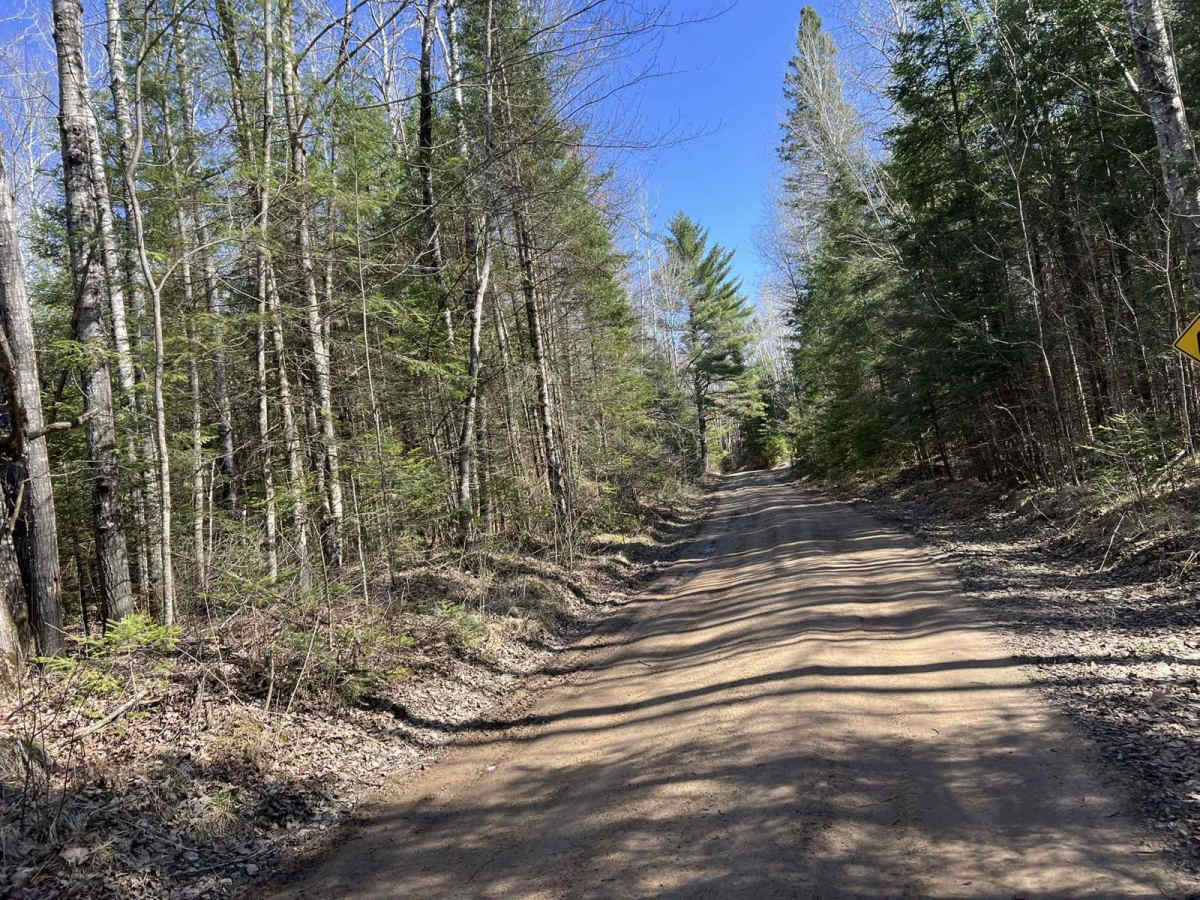
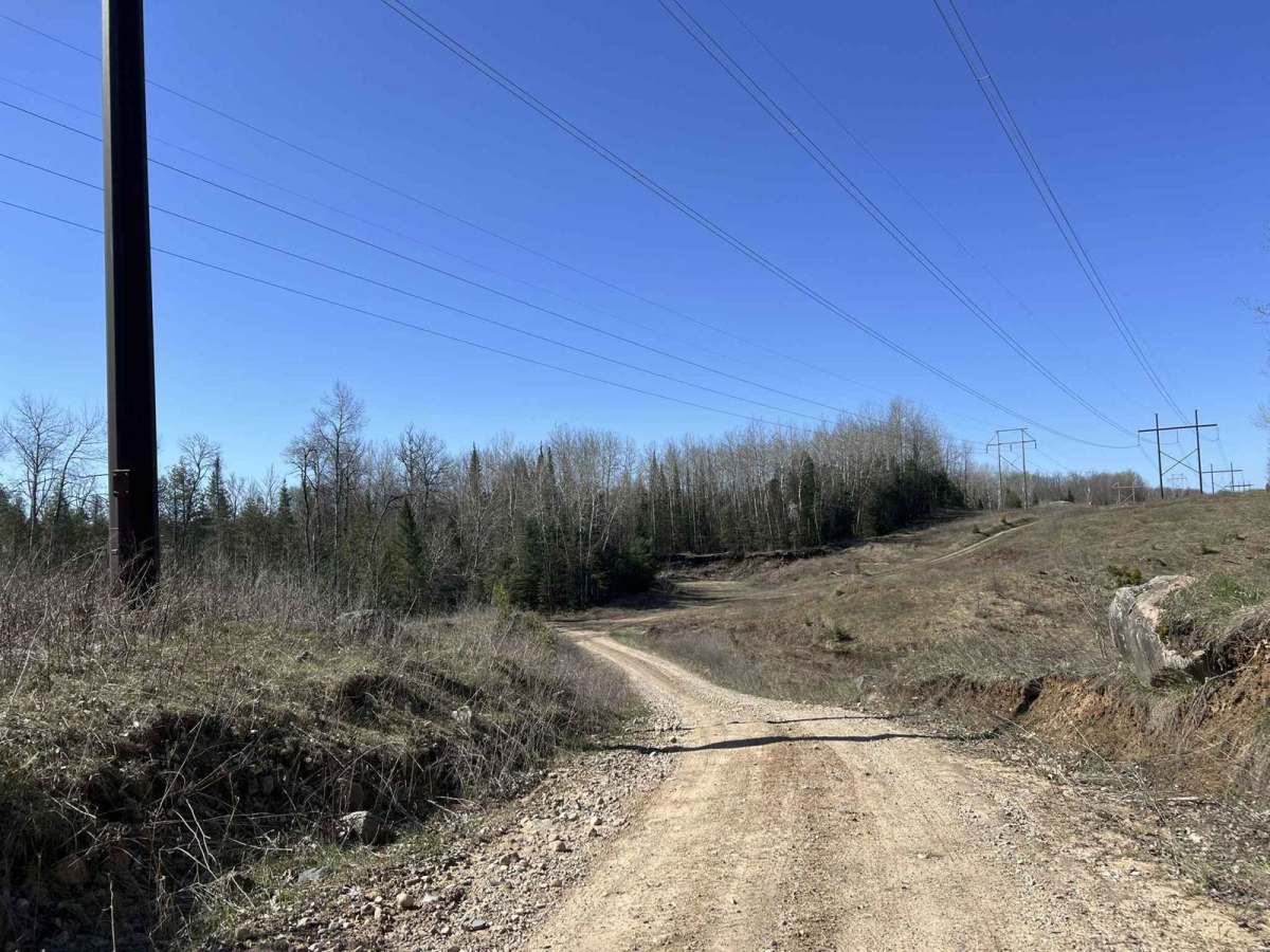
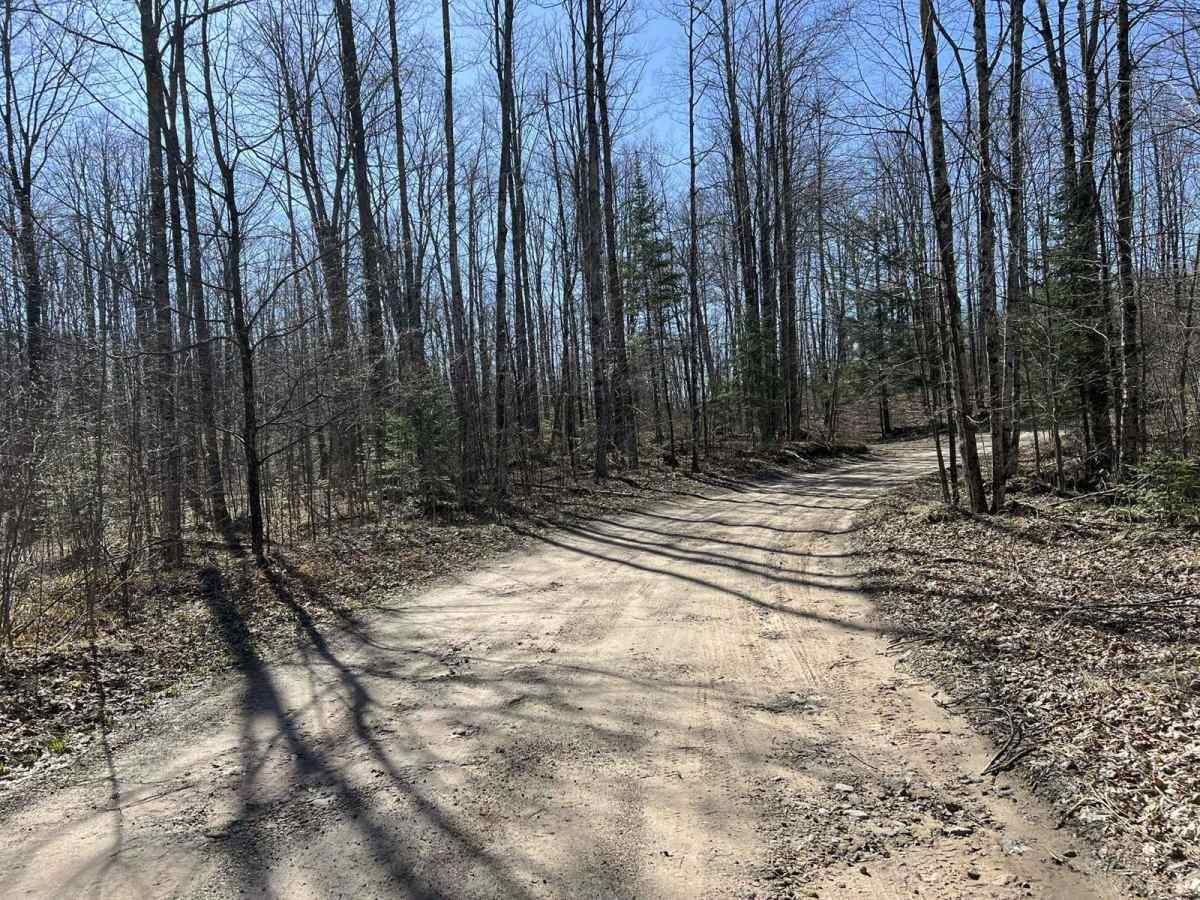
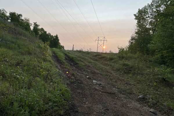
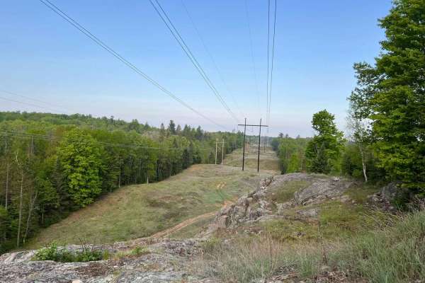
Trail Overview
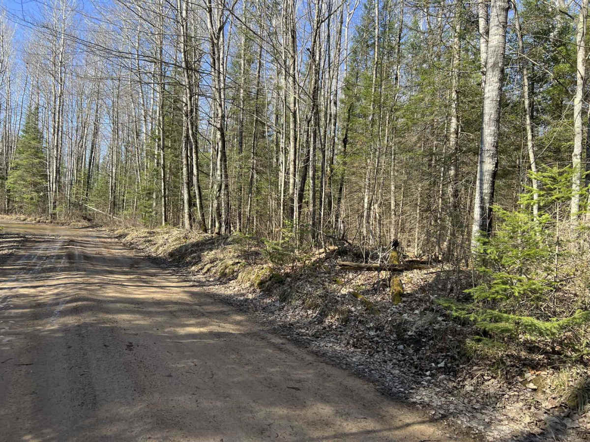
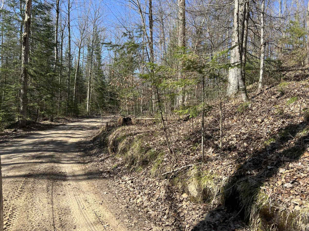
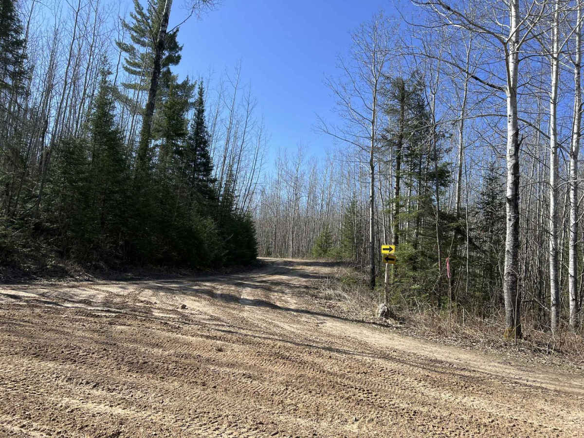
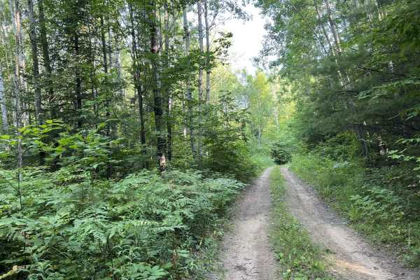
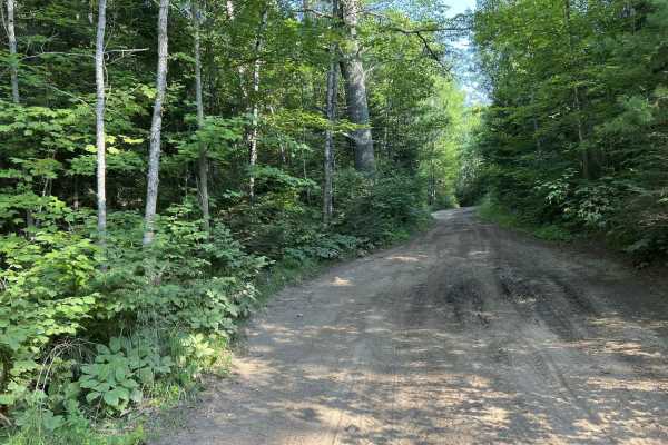
This is Benton's Lake Road southern run. This trail starts at its southern intersection with District 5 Rd, and travels north just past Benton Lake. This trail begins as a dirt two-track, before opening up slightly to just under two vehicles wide for a short period before transitioning back into two-track road until the trails end. The trail is all old-growth forests, with some areas being very well managed with little to no undergrowth. This section of the trail is very picturesque. The trail also navigates around the southwesterly portion of Benton Lake.
Difficulty
This trail can be easily completed by riders of all skill levels. This trail can also be completed with a simple high clearance 2-wheel drive vehicle. After periods of rain, there are some small mud holes that will need to be navigated, however, the depth remains shallow, under 6in. These mud holes typically do not take up the entire trail width, so they can be navigated around while still remaining on the trail. This trail is primarily one vehicle wide with several spots that allow oncoming traffic to pass. Sight lines on this trail are poor to okay, with most corners being blind due to the tight nature of the trail.