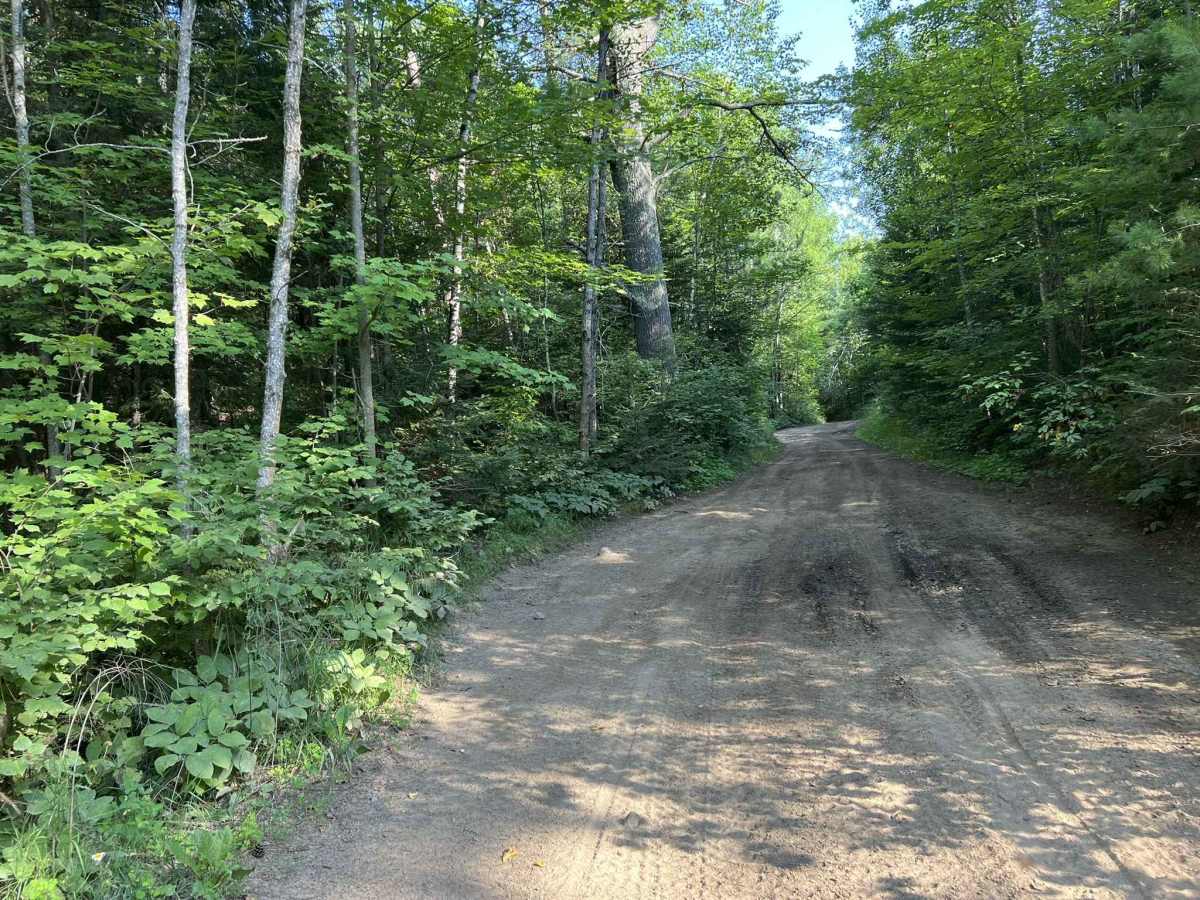
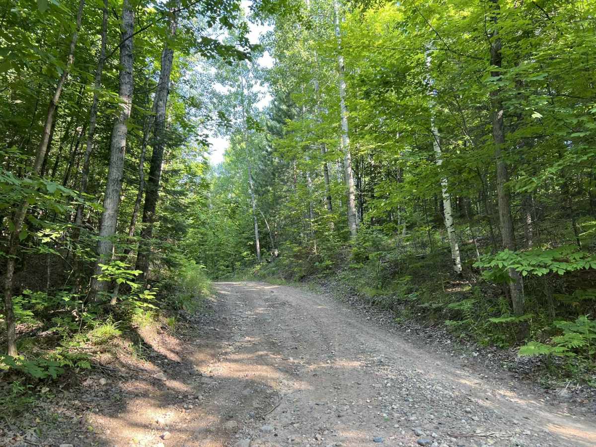
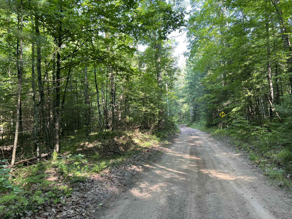
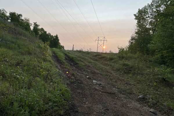
Trail Overview
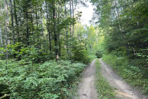
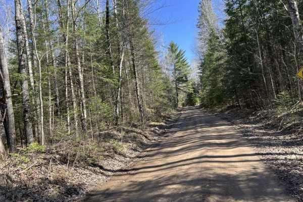
Carney Lake Road begins at its north-western intersection with Trail A/Carney Lake Road, and travels south before its endpoint on the edge of one of the boundaries for the Crystal Falls Forest Management Unit. This trail navigates through dense mature forests for its entire length. Most sections of the trail consist of a maintained gravel road. However, as the trail navigates further south, it will slowly transition away from gravel to hard-packed sand and dirt. Mud and water holes are not out of place on this trail, especially after recent rainfall. Cell service in this area is very weak, so having downloaded maps can be very advantageous. This trail is utilized as a groomed snowmobile trail from December 1st to March 31st.
Difficulty
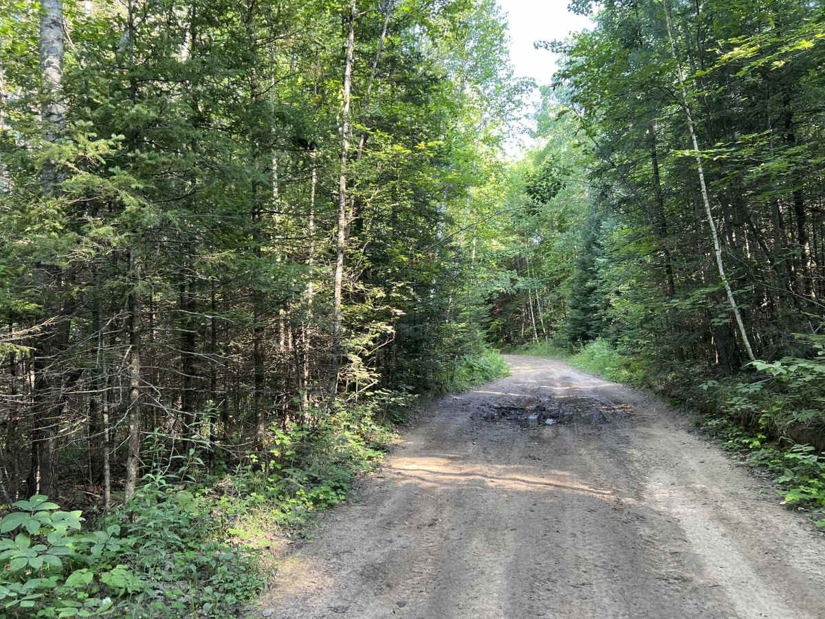
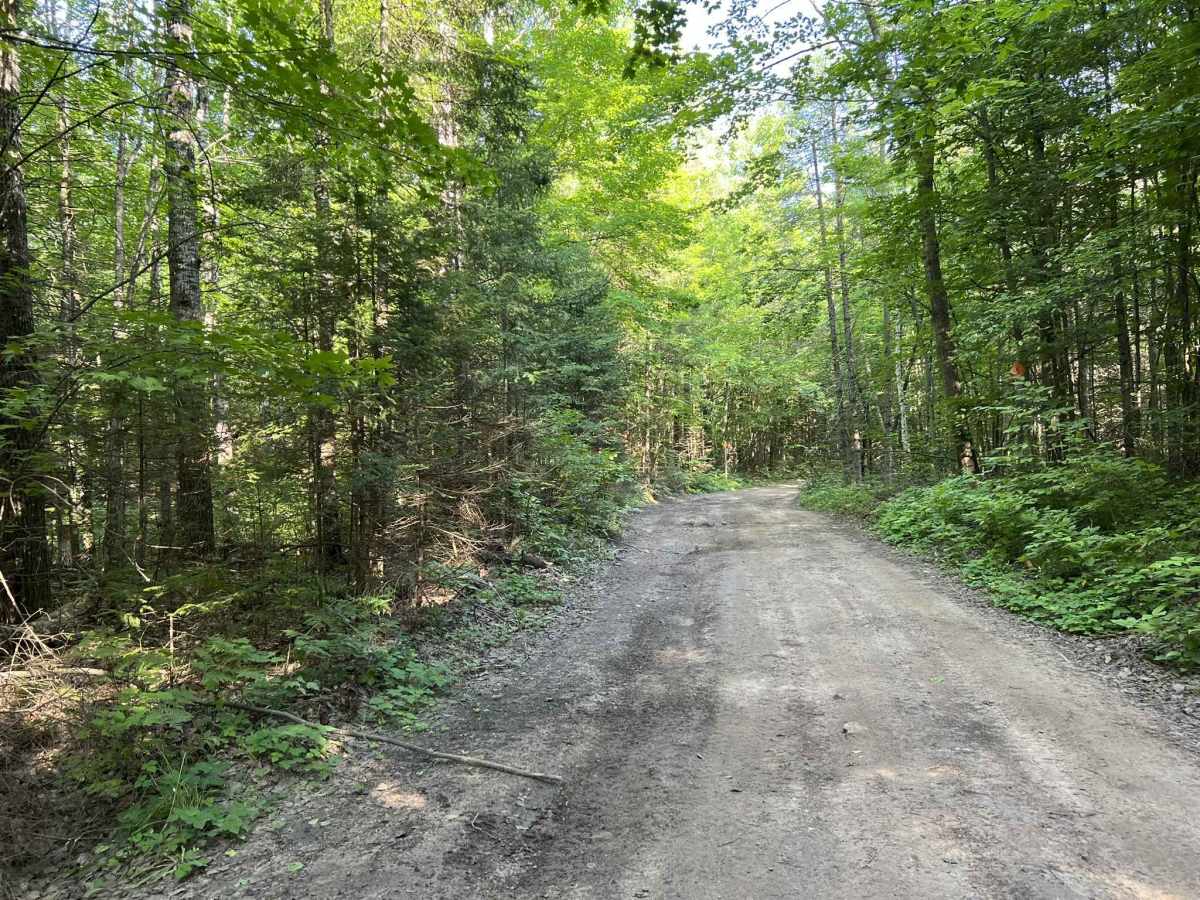
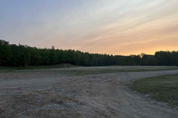
This trail can be completed by riders of all experience levels. The trail is easy to navigate with okay to good sight lines throughout. The trail is wide enough for two vehicles to pass in most places, but as the trail travels further south, it begins to narrow, and vehicles will need to pass each other slowly. This trail will typically remain dry; however, after recent periods of rain, there are some mud holes that will develop across the trail. These can typically be easily driven through, with a mild 4x4 system or a good tire and and 4x2 system.