Trail Overview
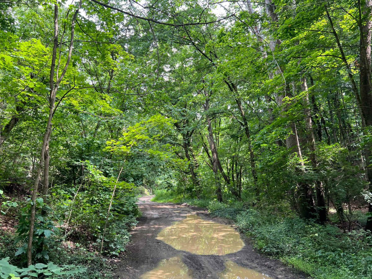
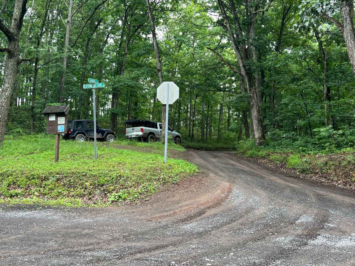
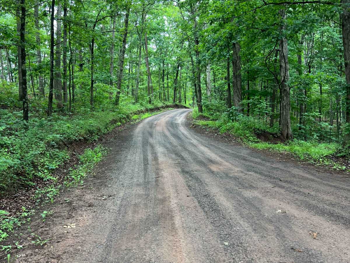
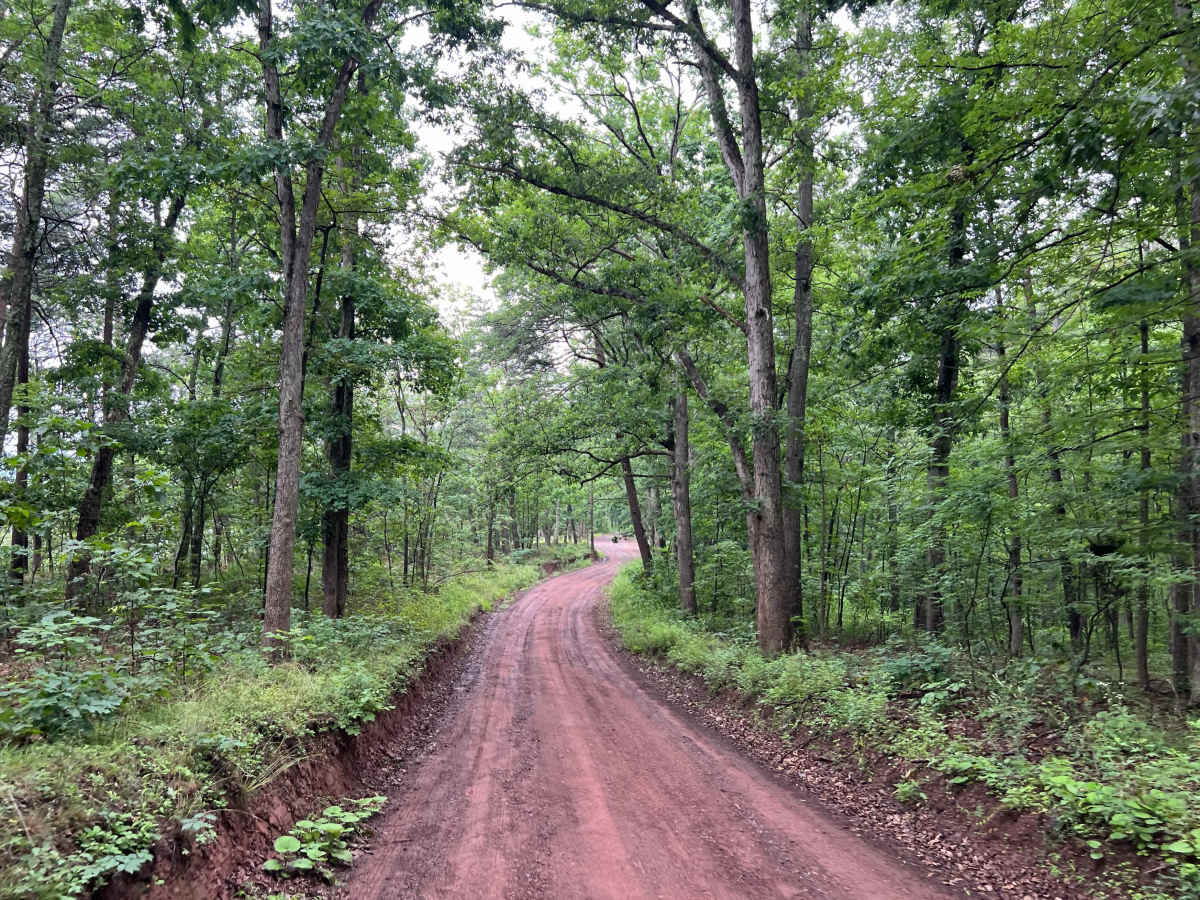
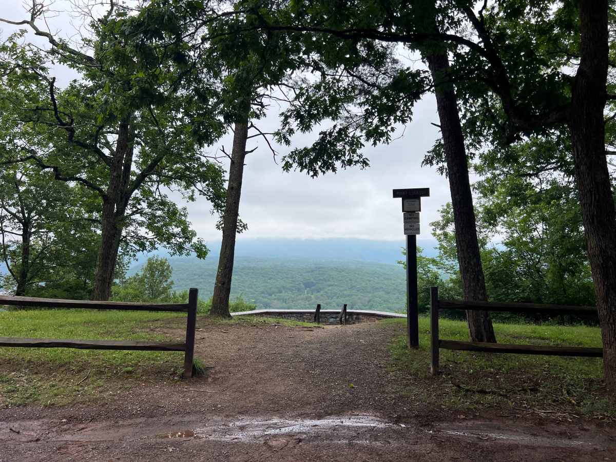
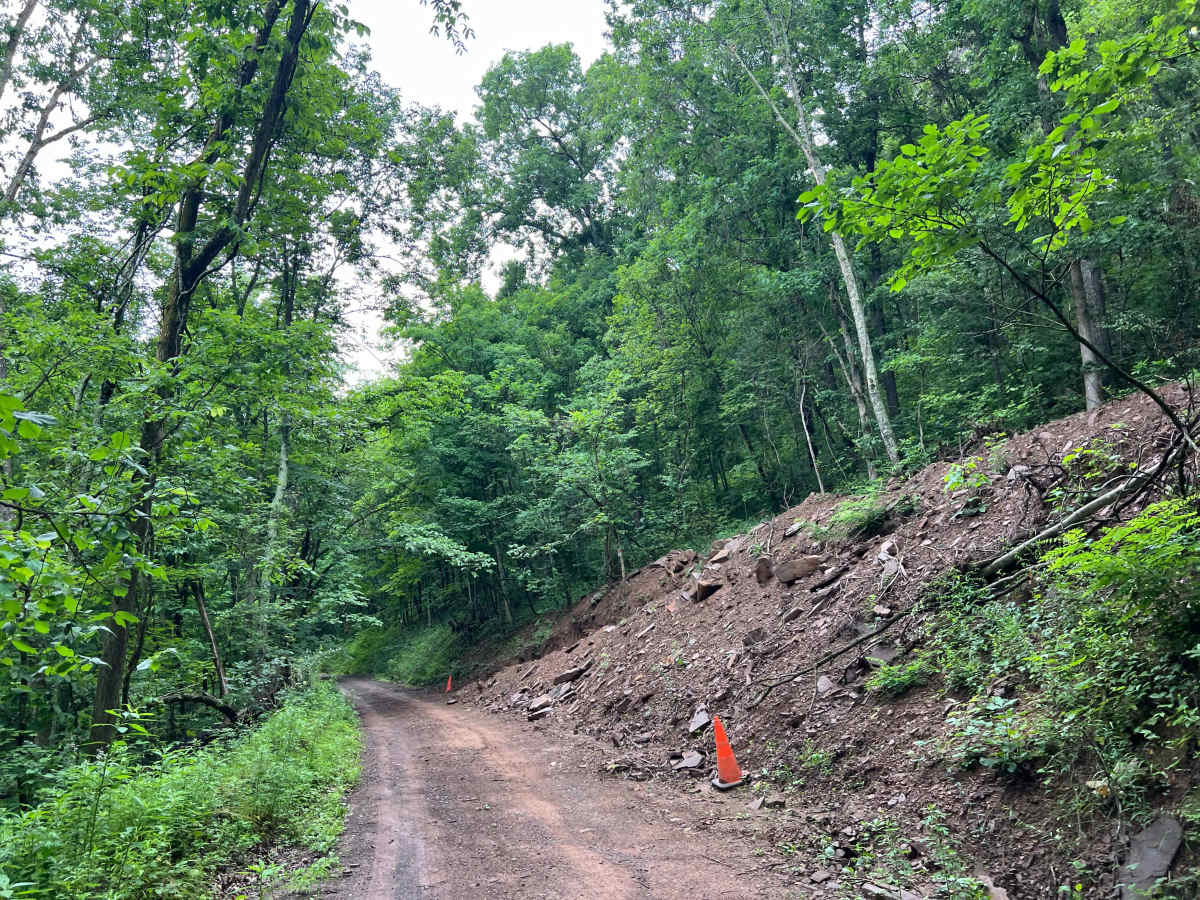
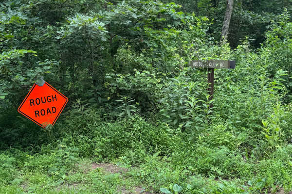
Carroll Road is an unmaintained dirt road within Green Ridge State Forest. Along the route is one fantastic scenic vista, closest to the north (Oldtown Orleans Road) end, called Point Lookout. Starting from the north, the track is generally well-maintained gravel along the ridge up to Point Lookout; then, as it descends into a valley, the gravel gives way to rocky dirt. Through the low areas, a creek (or rocky creek bed if dry) parallels the trail closely and crosses it at a few key points. There are two creek crossings, which may prove to be a challenge if water levels are high or recent erosion has occurred. Towards the south end of the track are multiple large mud puddles up to 12" deep, which are mostly avoidable. Note that the entire low area of this route is prone to flooding during heavy rains or snowmelt. There are also a handful of great campsites accessed from this road, as well as two historic sites. Read below for more details.
Difficulty
High chance of heavy erosion/wash out, multiple creek crossings, and mud holes up to 12" deep. Muddy conditions will exist in periods of wet weather.
History
This land was once owned by the Carrols, a pioneering family who owned and operated steam-powered sawmills. Near one of the campsites at approximately the halfway point of this track, a large stone chimney stands as the last remnant of one of their sawmills, which is said to have been constructed in 1836.
Historic Roby Cemetery is along the route towards Mertens Avenue at the south end of Carroll Road.

 Offroad