Trail Overview
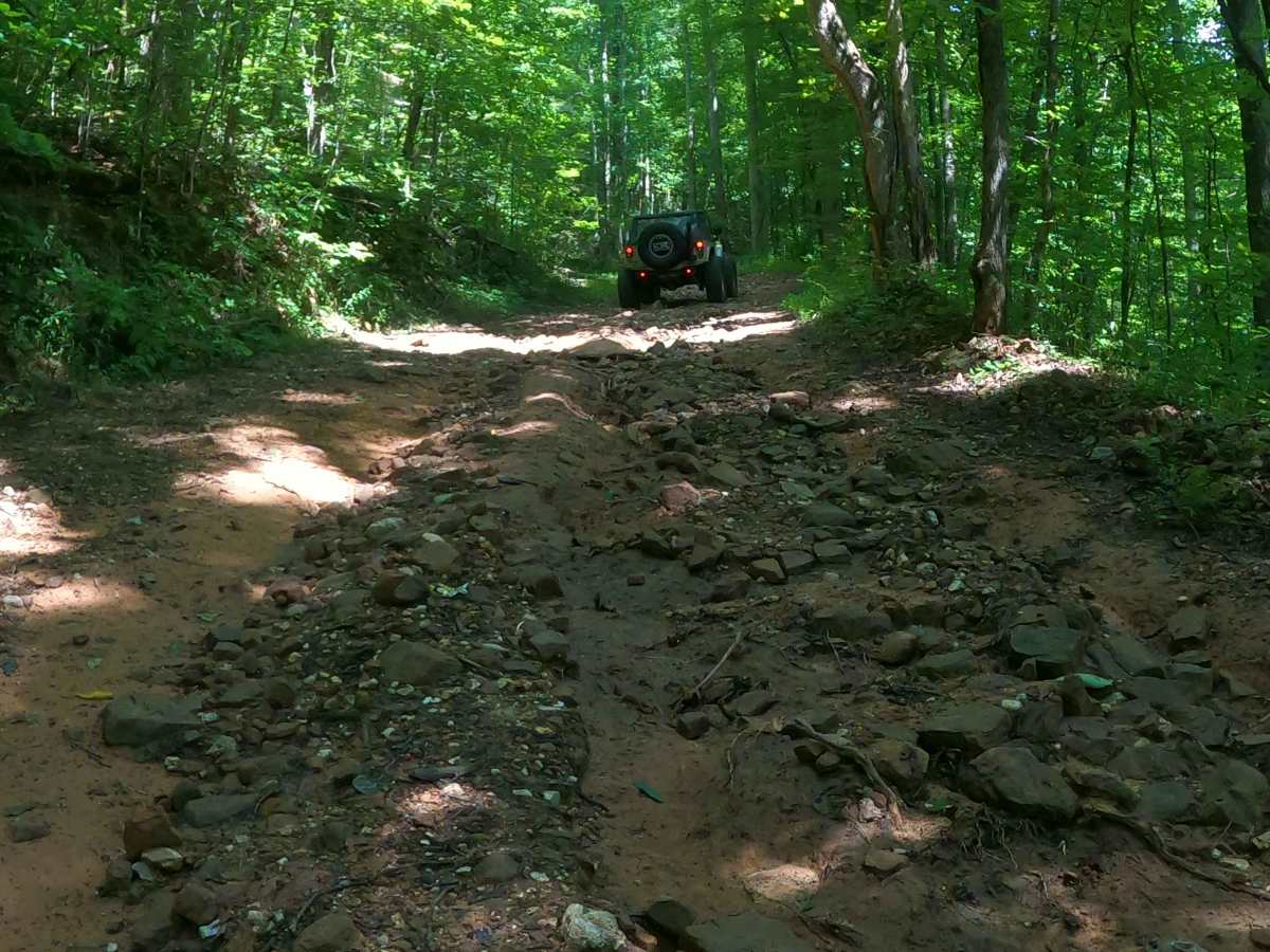
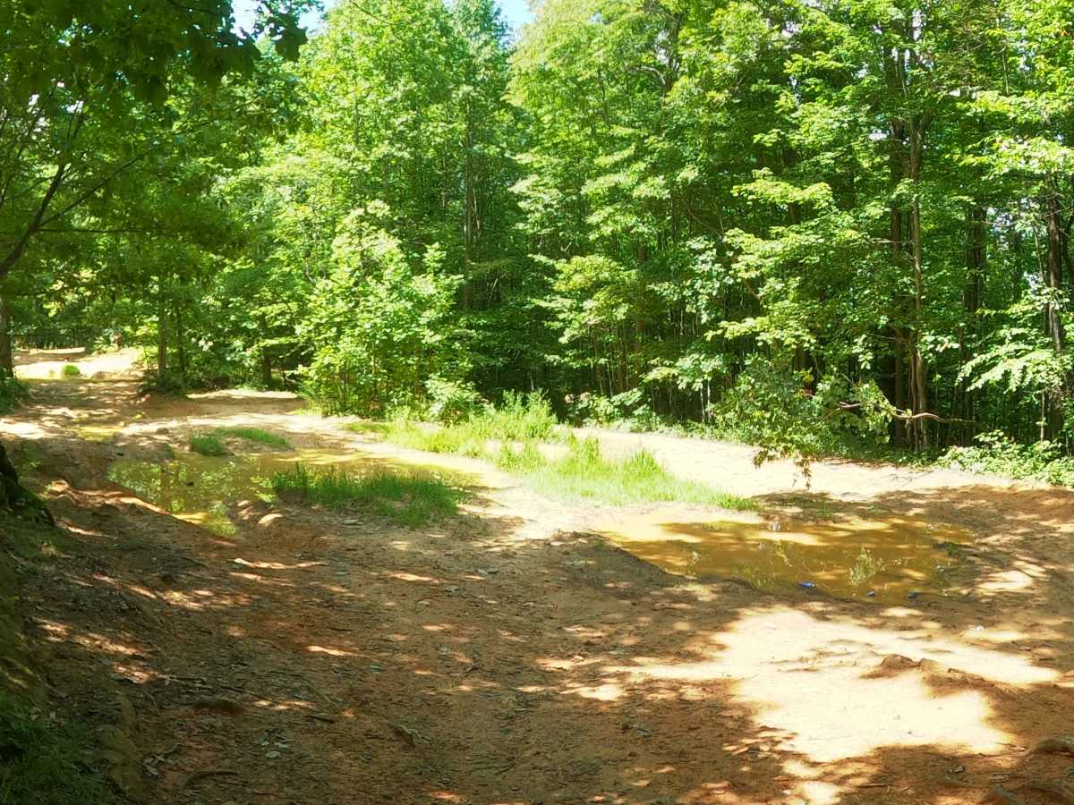
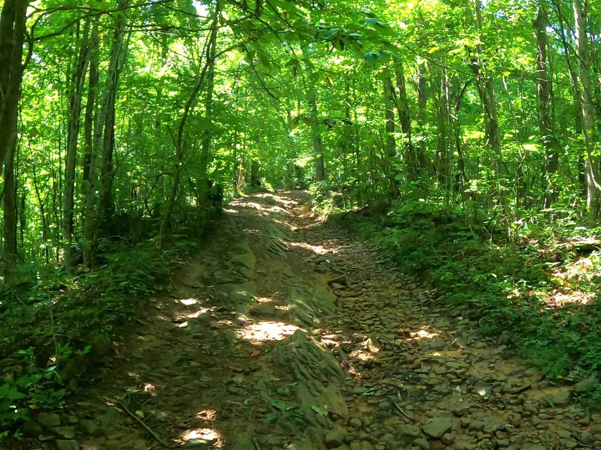
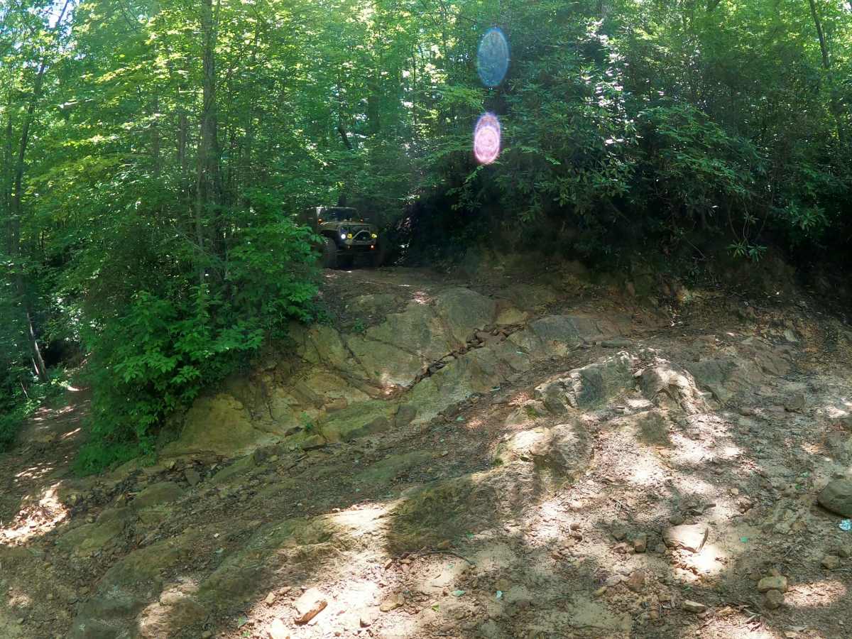
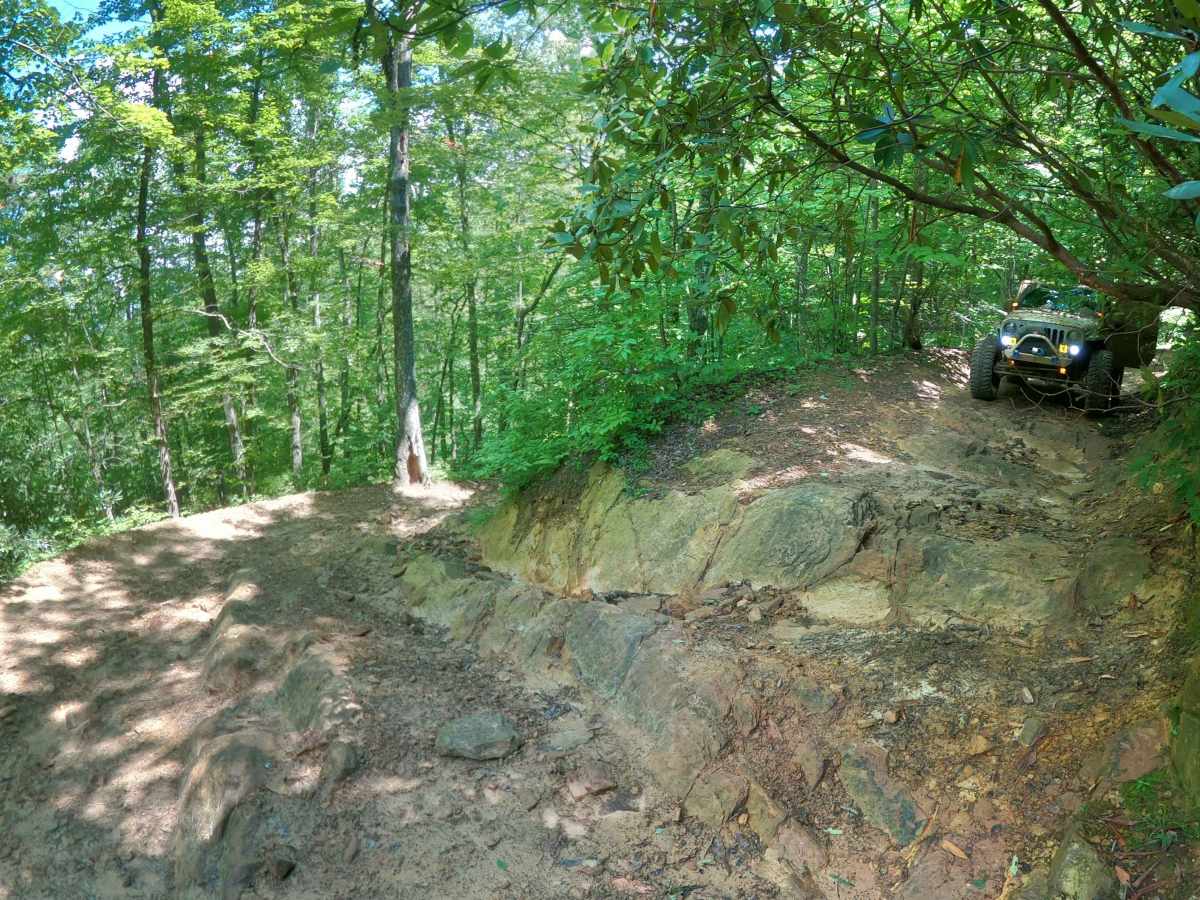
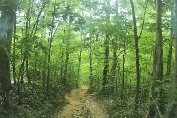
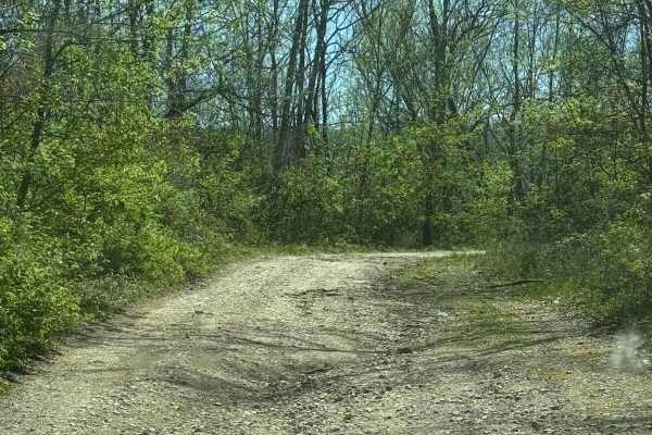
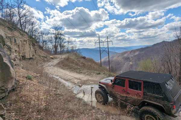
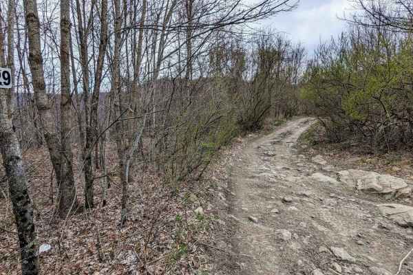
Whiterocks Trail begins at a moderately sized staging area, adequate for a few vehicle trailers. Due to the difficulty of the trail, some traffic is likely, but it typically consists of smaller groups. Cell signal is poor and should not be relied upon, so downloading offline maps is advised. While trail access is permitted, it is critical to note that the initial section of the trail is legal right-of-way, crossing multiple private properties, up to the Virginia/Kentucky State Line. However, the parking area is not included in this right-of-way. Once at the State Line, the trail remains either on private property with permitted access or falls along the border of Martins Fork Wildlife Management Area and State Natural Area. It is therefore advisable to check dates for hunting seasons before entering the area. Whiterocks begins with a rocky hill climb that has a stable surface, so traction is high, and the ruts are shallow. There are a couple of switchbacks as you gain elevation, but the trail remains wide enough to navigate them even in full-size vehicles. Once you cross the State Line, Whiterocks presents multiple obstacles with brief pauses in between to allow enjoyment of the dense forest with its broad plant life as well as various wildflowers which thrive along the trail. Significant stretches of the trail are narrow, with some sections having significant drop-offs to one side and overgrowth on the other. Pinstripes should be expected along both sides of the vehicle. Whiterocks offers many challenges which include mud pits with soft, sandy bottoms; high rock steps; off-camber sections of trail; large rock obstacles; massive V-notch; deep ruts; washouts; and much more. Several of these obstacles will offer a less challenging line, but others will provide equally challenging options, and few will have a bypass to skip the obstacle altogether. This trail has a moderate risk for rollovers, and physical damage is likely.
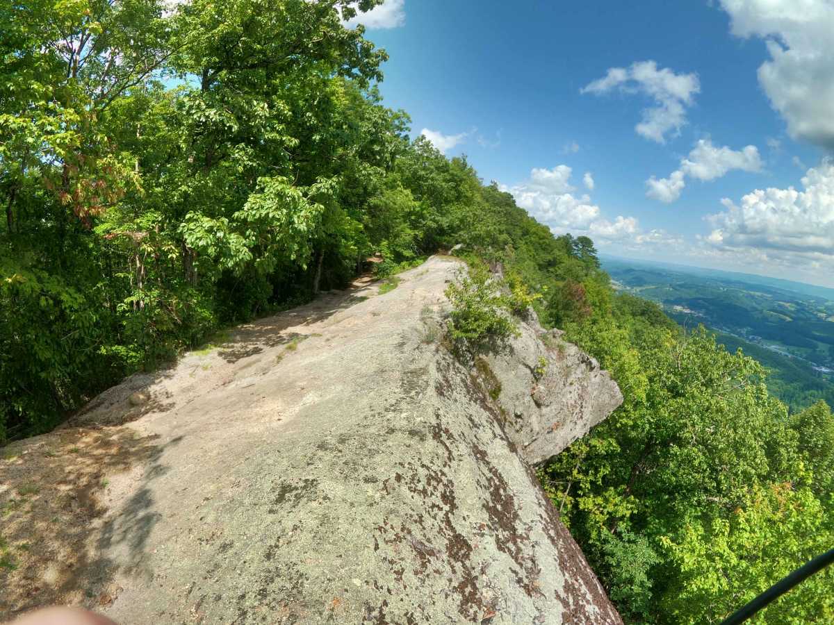
There are several spots to stop for a break along the way. For groups, the power line area opens up and allows multiple vehicles to park off the trail, making this a great spot to take a break or grab a snack. Of course, the best spot to eat and relax is the end of the trail, at the Whiterocks overlook. There is room for several vehicles to park at the overlook, but it is tight, and there are only a couple of spots to turn around. There are two portions of the overlook to take in the stunning view of the Virginia skyline, so make sure to check both out.
Difficulty
The trail offers multiple technical obstacles, most having no bypass at all. There are deep mud holes with sandy bottoms that, even when water levels are low, it's easy for vehicles to get sucked in and stuck. The trail has significant portions that are narrow with a steep drop-off. There is a shallow rock step obstacle that is 3' high on the low end and 6' high on the far end, making the portion navigated approximately 4' high. At the bottom of this obstacle, it is off camber and has an immediate 180 turn in the trail, making this section very tight. There are other rock obstacles in the 4' range further along the trail, although one does have a "low" side making it closer to 2' while the other two near the overlook both have a bypass around it. There is also a massive V-notch where it has become challenging to ride through it, often making the easier line to straddle it. There are steep hill descents/climbs. One is very washed out. The second is slick and has tall rocks 2-3' high near the top to climb. Additional hill climbs consist of dirt and rock or are primarily rock. Several sections of the trail are off-camber.