Trail Overview
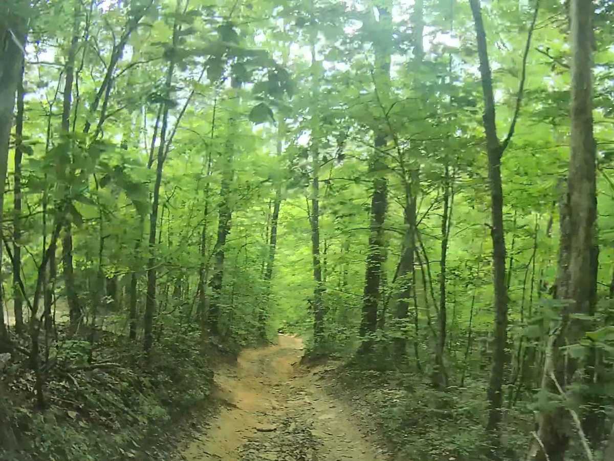
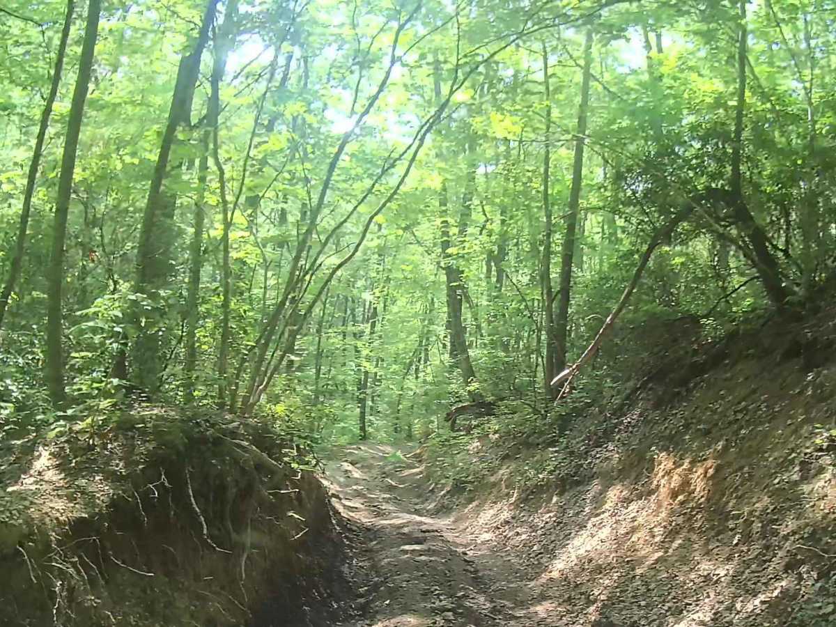
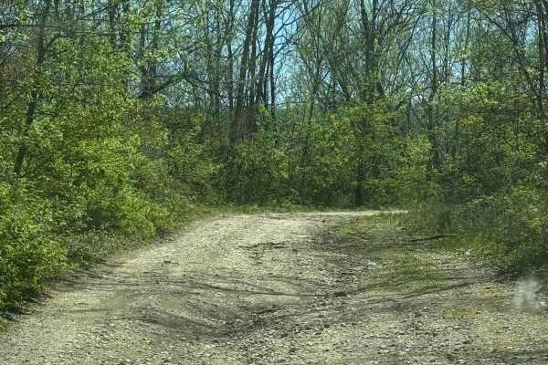
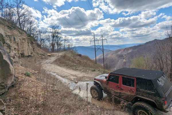
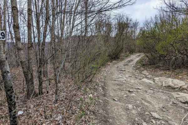
Martins Fork Trail provides access to significant areas within the Martins Fork Wildlife Management Area. After turning off Route 987, you will pass through Rough Branch (stream), then Martins Fork Cumberland River a short distance later. Taking the trail in this direction will present additional challenges given the increase in elevation. The trees and vegetation tend to be healthy and dense, while also providing a thick canopy, keeping the trail pleasantly shaded for most of the day. The trail itself is well established and a smooth, pleasant ride. Only a few specific features contribute to the trail rating, with two of them (rock obstacle and rutted section) sharing the same location. As Martins Fork nears Whiterocks Trail and the sand cave, the presence of multiple spur trails requires increased attention to the route. Martins Fork will meet Whiterocks Trail at almost 170 degrees, making it an easy transition to continue out and exit the trail system in Virginia. Traffic on this trail tends to be light. However, there are few places to make room for a vehicle to pass. Plan for an absence of cell service in this area and download offline maps.
Difficulty
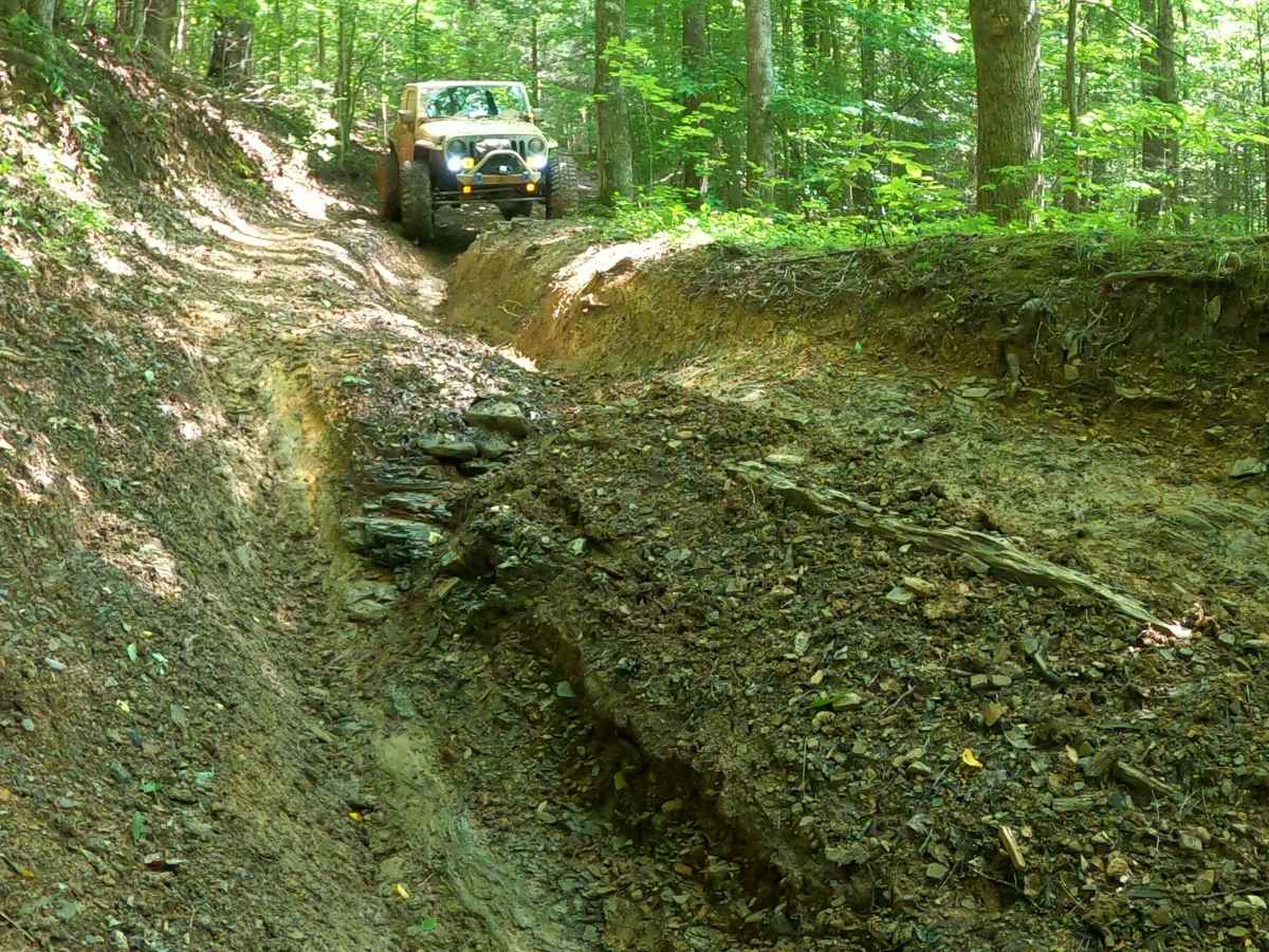
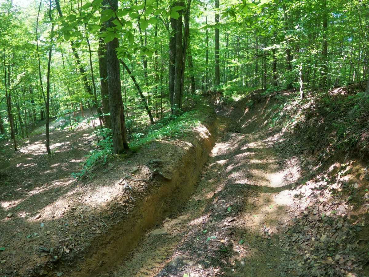
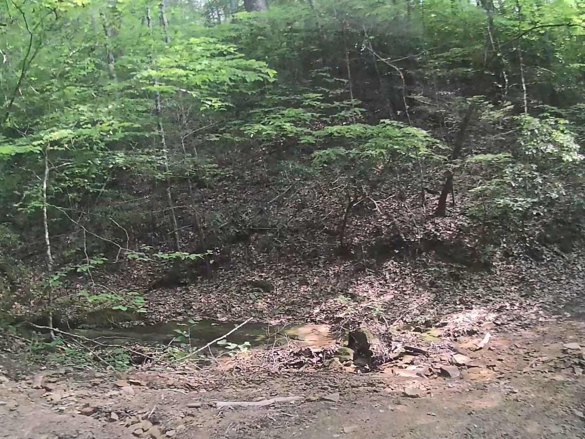
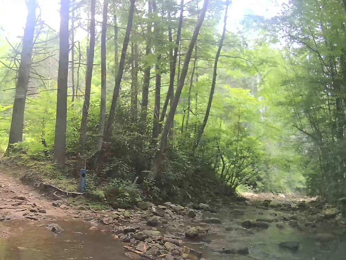
Depending on water levels, there are three water crossings: Rough Branch, Martins Fork, Cumberland River, and a light stream flowing across the trail approximately 0.5 miles up the trail. There are sections with moderately sized rocks, but they are stable and easy to navigate over. The two main obstacles involve a rock climb followed by a sweeping 90-degree turn through a washed-out section of trail. The rock climb is the most technical given its flat face, creating difficulty for vehicles that have a poor approach angle. When coming down the mountain, carryover and departure angles will be the issue for some vehicles on this obstacle. There is an alternate route, although it could be equally difficult for some vehicles, so consider both options. Immediately following is the washed-out section. Despite appearances, the trail is solid through this section, allowing decent traction with momentum even when wet. There are a couple of places where the trail results in the vehicle slightly off camber. Typical for this wilderness area, overgrowth should be anticipated and pinstripes expected. There is also a potential for trees to fall into the trail or collapse into nearby trees, causing partial obstructions. The trail does become narrow and tight in several spots, but can accommodate full-size vehicles with increased risk for pinstripes and issues with overhead clearance.