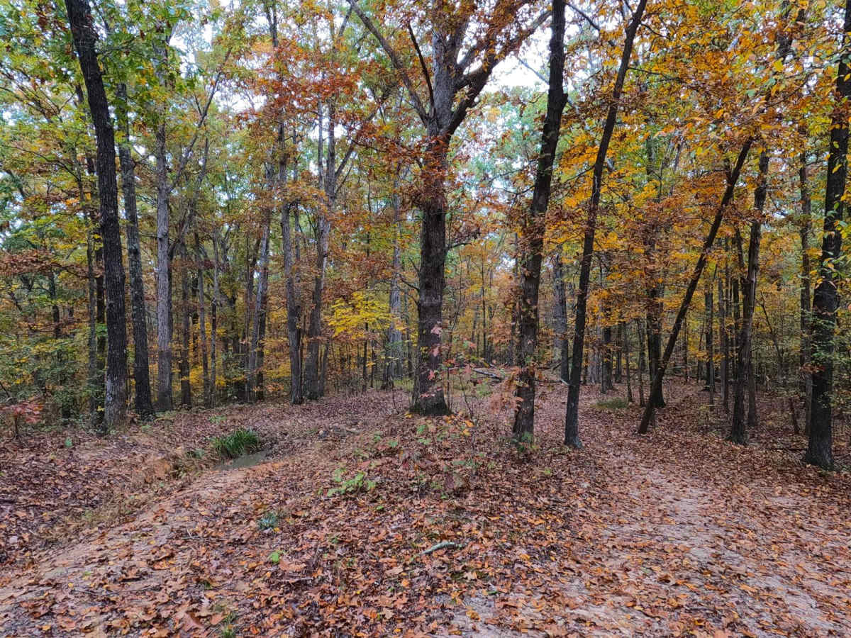
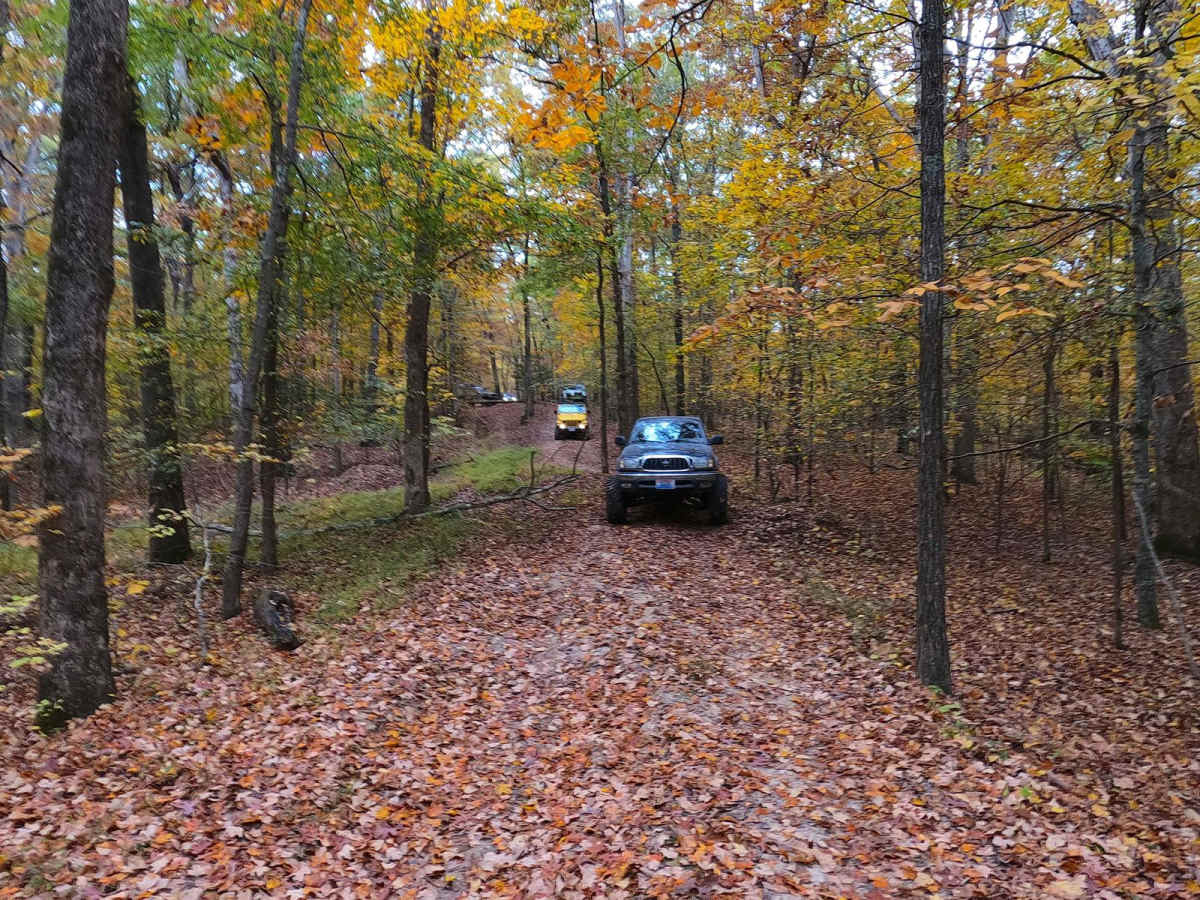
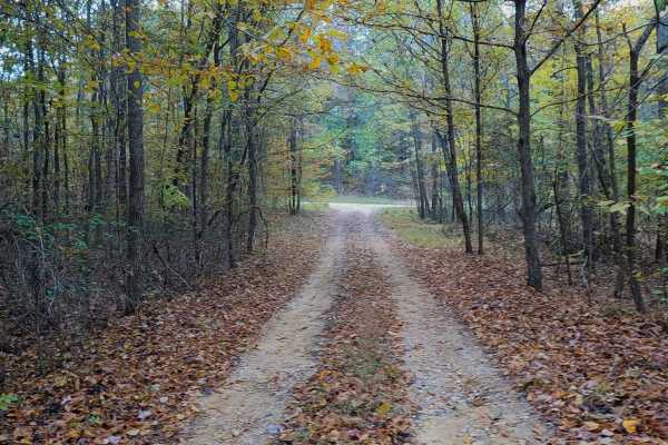
Trail Overview
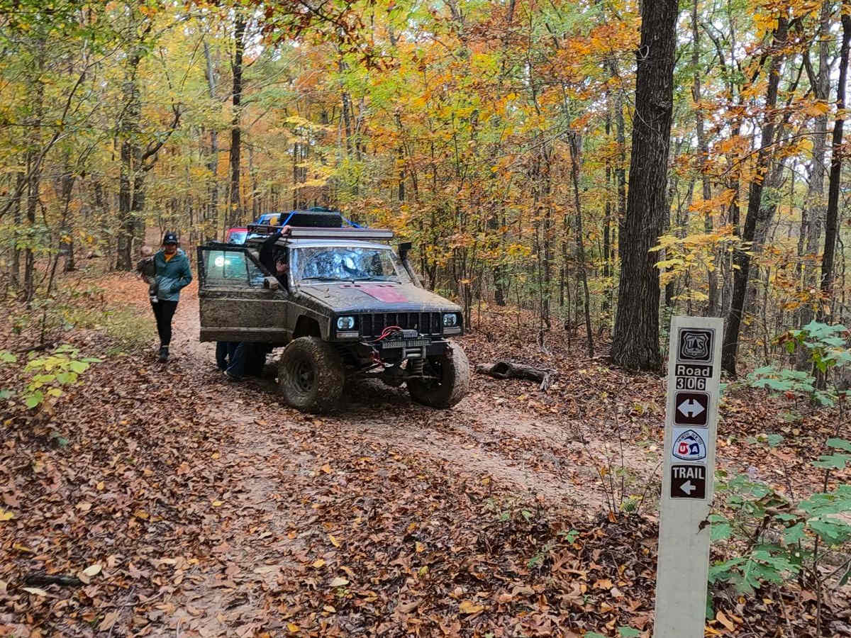
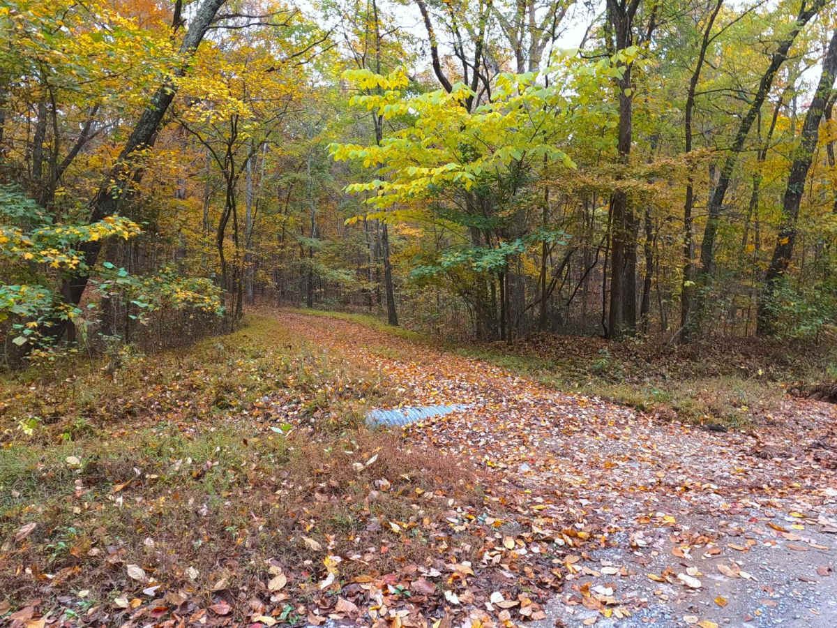
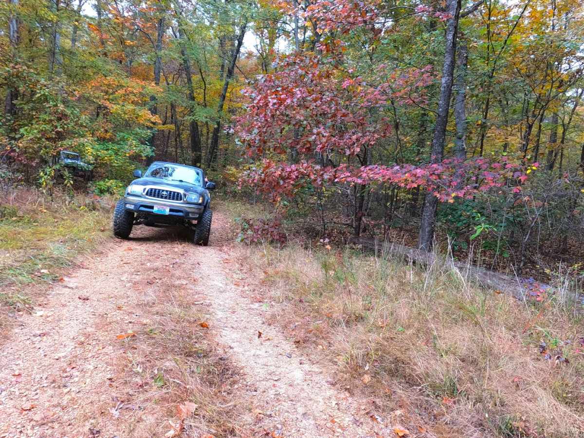
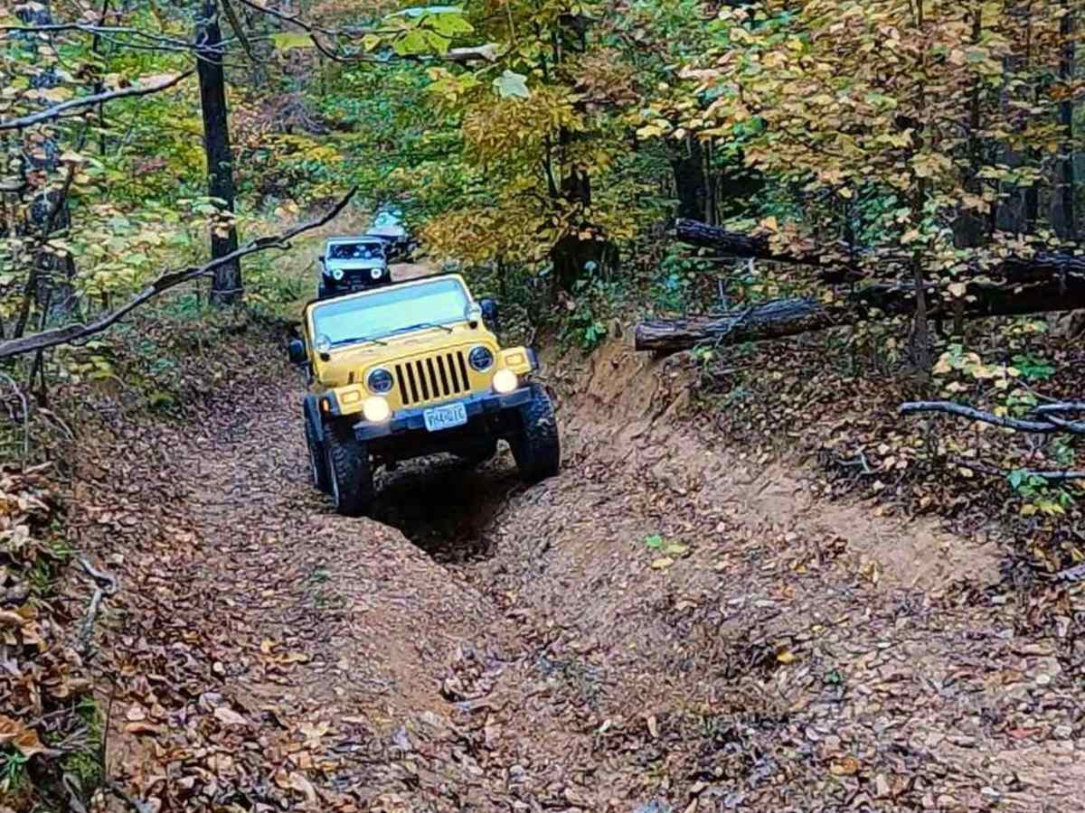
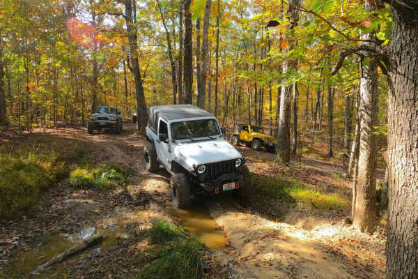
Watkins Road FS 306 is a natural-improved forest service road through the center-west Kentucky section, Kentucky Lake side, of the Land Between the Lakes National Recreation Area. This trail connects Smith Bay FS 116 and Newby Cemetery FS 130 and has an annual seasonal closure for turkey season 3/27-5/5. Watkins Road features a surface that goes back and forth from gravel to a natural dirt and coarse rock path, traversing a few mild eroded hills and running ridge tops where mild/moderate depth mudholes and water collection spots become the main attraction. The trail can be dried up in deep summer and early fall, a soggy swampy mess in deep spring, and anywhere between. Along the middle section of the track the North/South hiking trail parallels the FS 306 for nearly .4 of a mile, be sure to watch out for hikers and show a shared respect for the mutual use section of the trail. Bring a friend and enjoy the sense of adventure and thrills only the 300 and 400 roads have within Land Between the Lakes.
Difficulty
Watkins Road is given a base rating of 4/10, featuring mild/moderate grade hills, with active erosion ranging from 1 to 2 feet at deepest, leading to lite off-camber situations, in these areas the trail has exposed natural coarse rock mostly of cobble size (10" and below). In the valleys and ridge tops the trail often turns completely to dirt, featuring soft-bottomed mudhole sections where the range of depth can be misleading, some holes are very deep, but are usually accompanied by a much more shallow counterpart, in the dry season when this was documented (10-2024) a 12" deep soft bottom mudhole was still mandatory to the trail but had very obvious signs that in the wet seasons range towards 18" potentially 24" when topped off with water, it is highly recommended to probe out the mudholes and determine where the best line is, check for ruts and tire width trunklines where the center mound and high-center on axles and undercarriage. Unsung difficulties, trees are sometimes tight, making the trail not ideal for full-size vehicles, but also not impossible, as the deep mudholes become mandatory. Due to the dynamics of the southeast USA difficulty rating can vary, with some wise line choices, or the trail being bone dry, there are times when this trail can be run as a 3/10 but also has optional mudholes ranging in the 6/10 range or greater, and difficulty will increase in times of wet seasons. It is advised to not take this trail alone.