Trail Overview
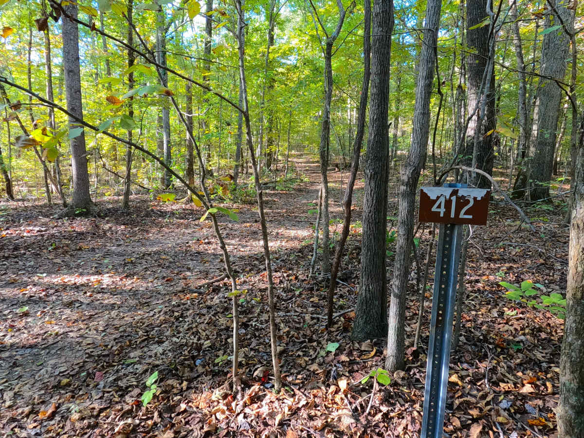
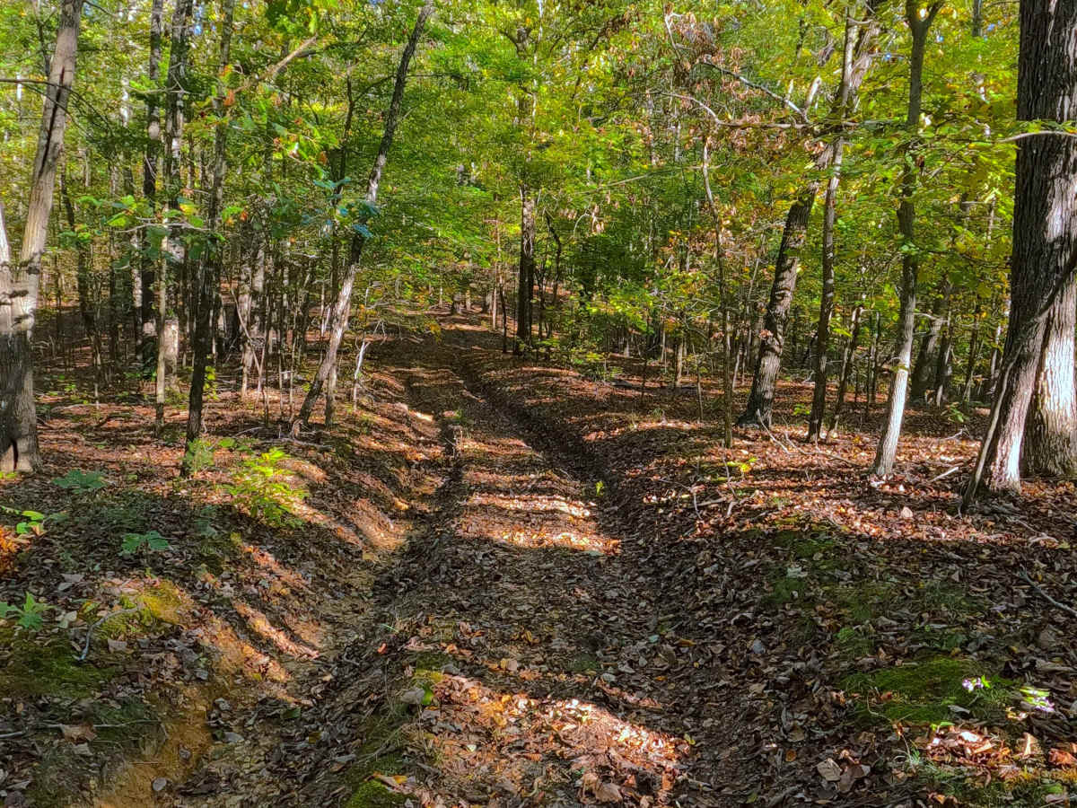
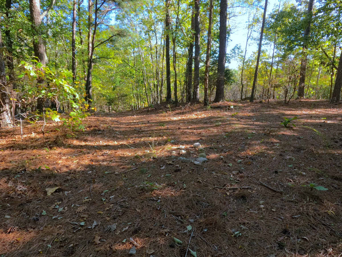
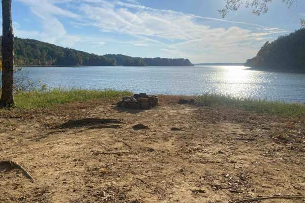
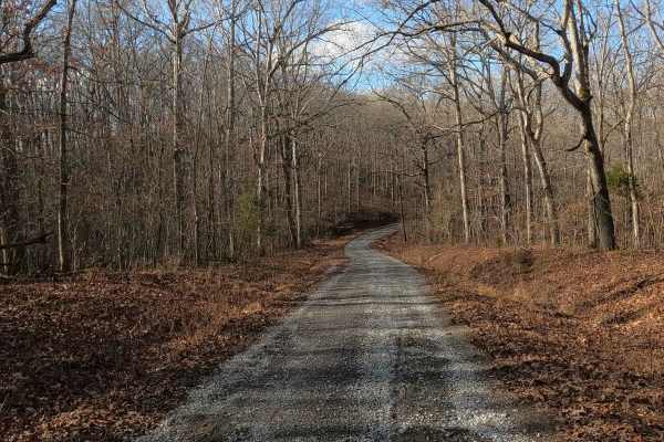
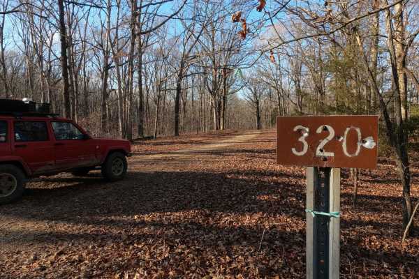
South Sugar Bay (FS 412) is a natural terrain Forest Service road through the center-west Kentucky section, Kentucky Lake side, of the Land Between the Lakes National Recreation Area. This route branches off FS 319 shortly after it leaves the Scout Trail (FS 141). Featuring some of the most remote roads within all of LBL, created as the new road through a network of old roads that used to serve between the settlement of Ironton and the former Ironton Landing on the Tennessee River. Even though it appears not to be used much in recent years, the pathway persists uphill to the ridge tops, passing through two forking intersections, and then dropping back down the other side of the ridge, leading to the deep cove area of the southern end of Sugar Bay, as it was used to access over its existence. When reaching the MVUM-sanctioned end, access to the bay is only a hundred feet away to the west through some trees.
Difficulty
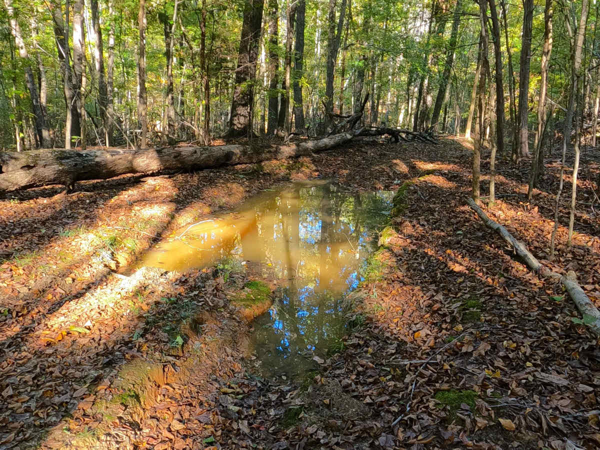
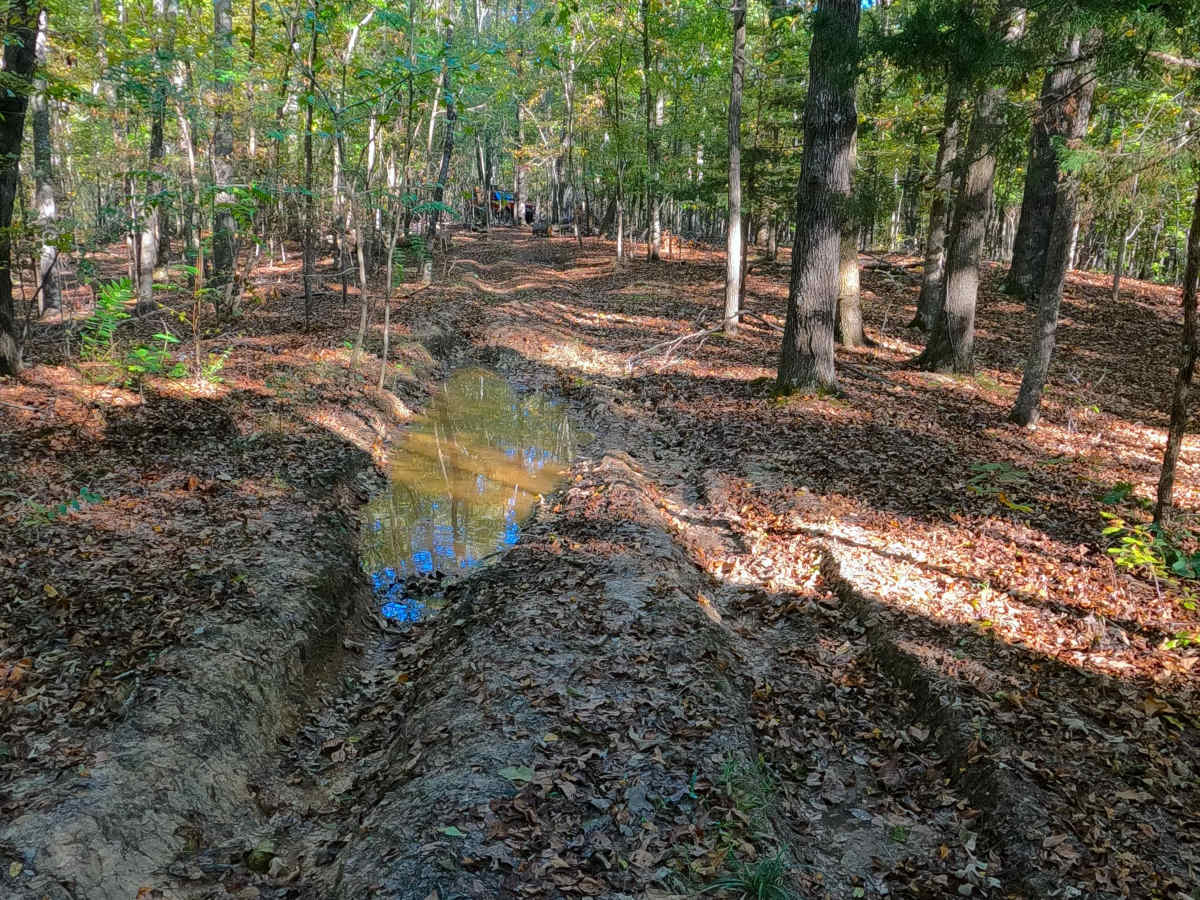
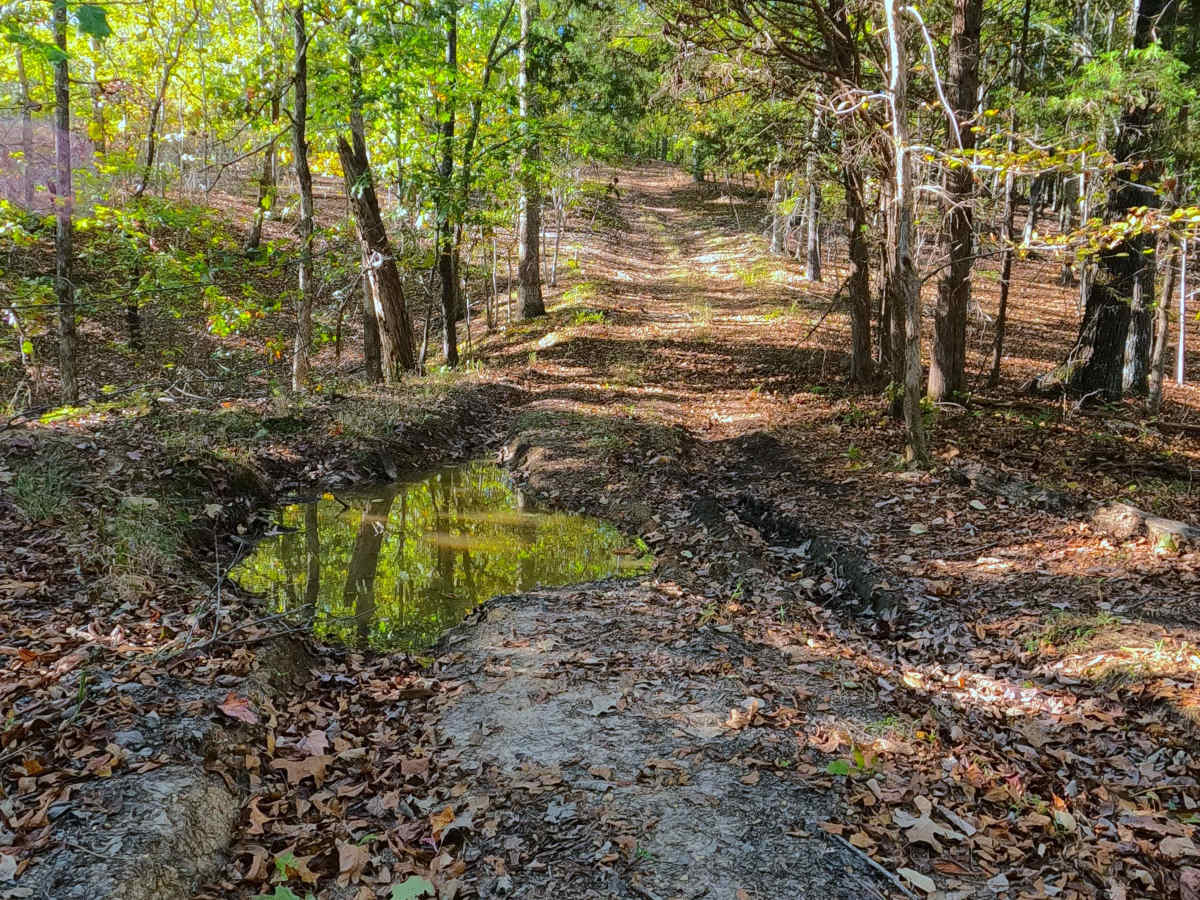
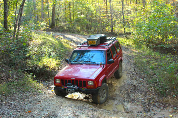
South Sugar Bay is given a 5/10 rating for having initial 12-inch deep ruts and soft bottom mudholes within the 18 to 24 inch range, backed by mildly steep grades leading to and back down the ridge top portion of the road, with more ruts and active erosion along the coarse natural gravel and dirt path throughout. Unsung difficulties, trees are tight, making the trail not ideal for full-size vehicles. Full size is recommended to avoid FS 319 and 412. Due to the dynamics of the southeast USA, rating can vary, with some wise line choices, or if the trail is bone dry, there are times that this trail can be run as a lesser rating, but difficulty can also increase in times of wet seasons, or heavy use. It is advised not to take on this trail alone; a winch and lockers are highly suggested. It is also advised to let this trail heal in the seasons of extreme wet conditions, versus further damaging the trail.
History
This trail seemingly is a mixed bag of leftover parts from roads of the past, some of which can still be seen on the modern maps, such as OnX, and then can be confirmed accurate when witnessing forks on the actual trail. This was some sort of network of old roads. When looking at old topo maps in the 1930s and the Hiatt, Kentucky, 1940 topo shows the road used to start in the settlement of Ironton, which is roughly where the modern-day Sugar Bay Campground and the end of FS 140 are. Ironton had its own Schoolhouse, the Nunns Spring (both to the west), and across the Sugar Branch Creek (to the north), Denson Chapel, all of which are now buried in the shorelines of Sugar Bay. Reflecting on these same 1930s and 1940 Hiatt topo along with understanding how other LBL settlements of this era functioned, Ironton too must have needed a river landing to be relevant, so a road was pushed southwest through the hills to the destination 1.5 miles away (as the crow flies) along the eastern shore of the Tennessee River. This "Ironton Landing" was roughly placed at 36.84, -88.142, and put underwater by the eventual creation of Kentucky Lake. Over the course of time, the road changed location a few times, sometimes being composed of several different roads, sometimes being dropped completely from the map, until the 1986 Murray, Kentucky, topo illustrated it following the modern track, including the starting portion off FS 141 using FS 319 to then turn onto FS 412. This is followed by the more local topo of Fenton, Kentucky, picking it up in more detail in the sequential editions released up to 2022. When comparing the tracks of the historic road to the modern road, they share much of the same ridge-top section of road, but have different starting and ending sections. Documented by Christopher Menz, 10/2025.