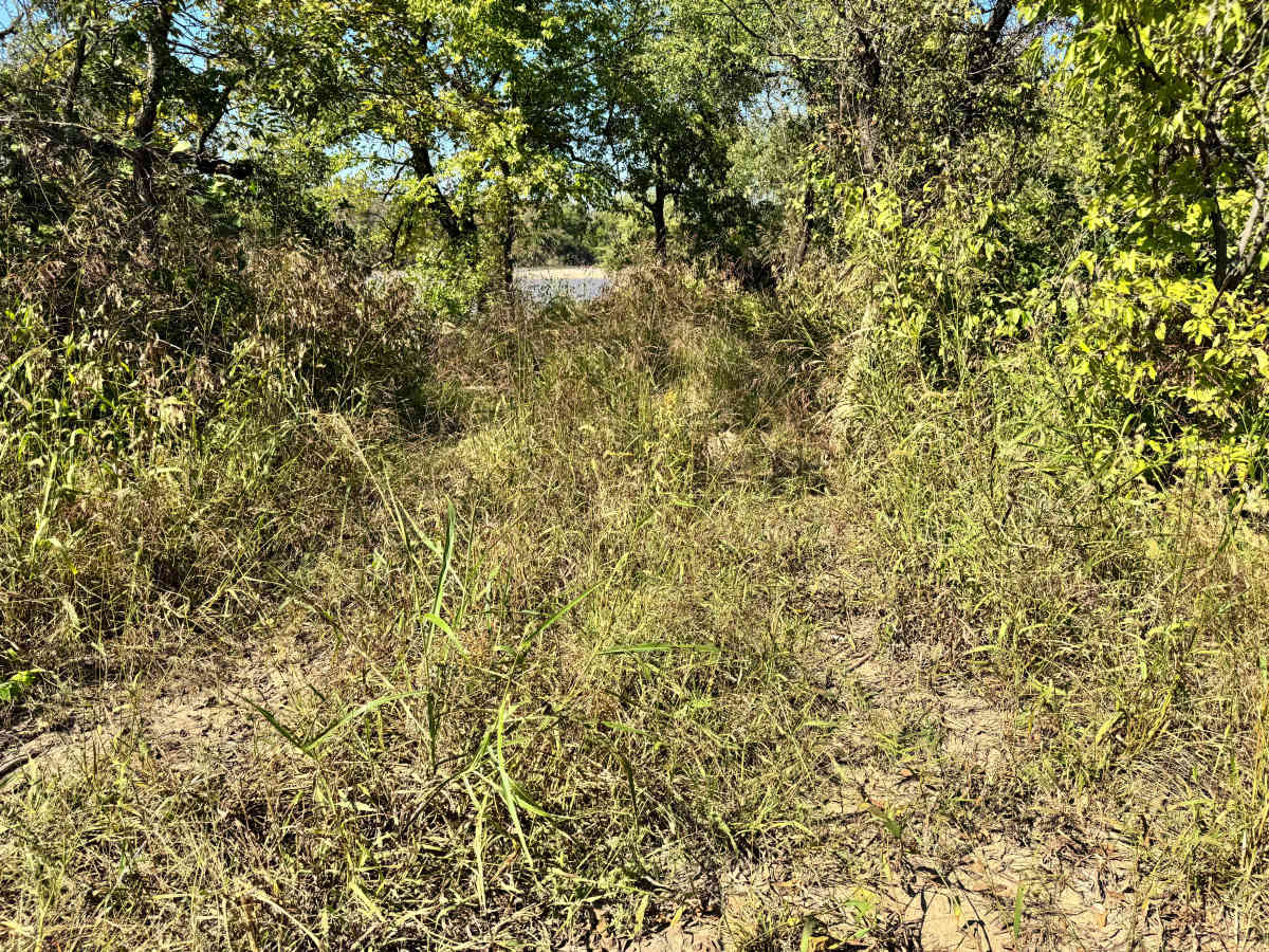
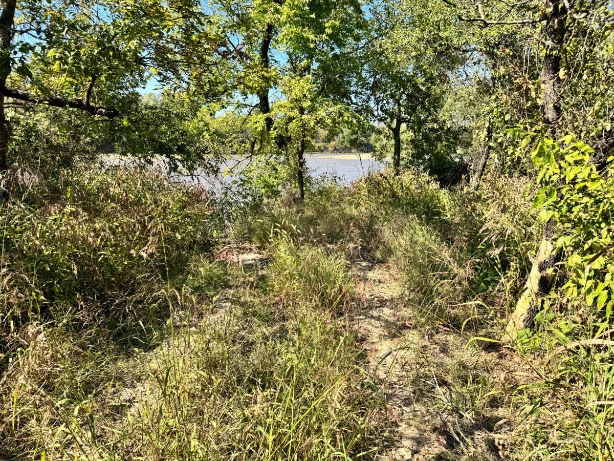
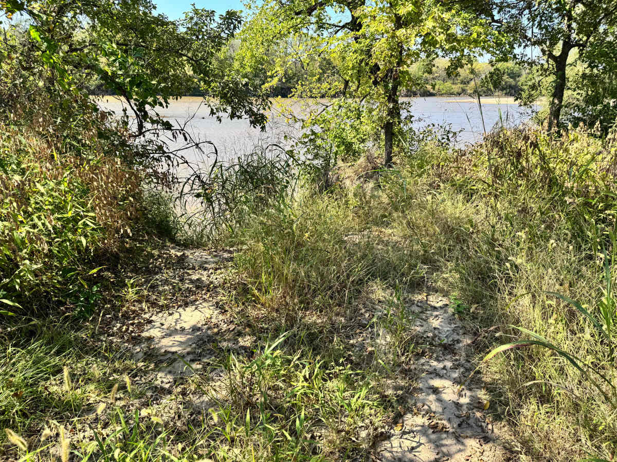
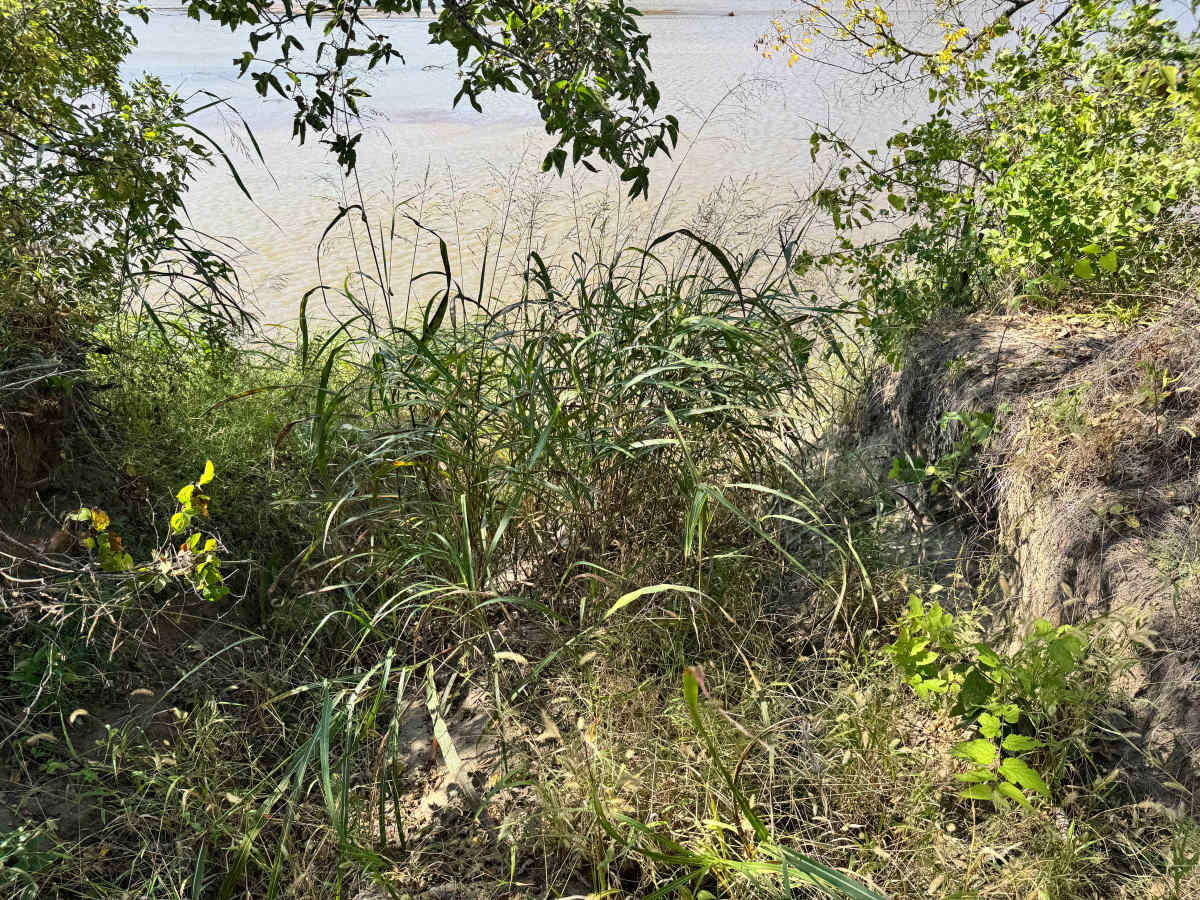
Trail Overview
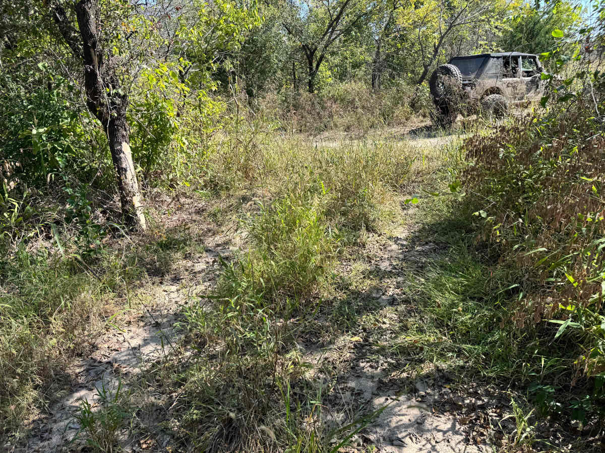
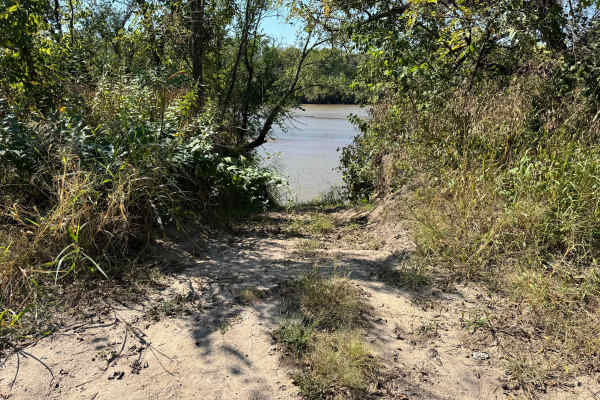
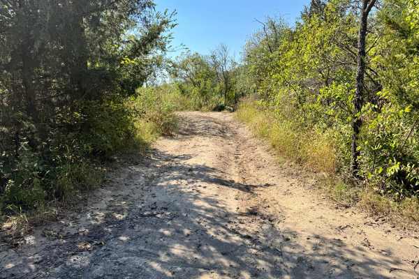
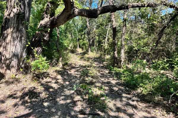
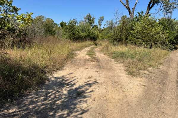
This trail descends directly to the sand bar for the Arkansas River, offering a rugged and challenging route through dense vegetation. Please check local water levels before attempting this trail. The path is noticeably overgrown, with brush and branches narrowing the corridor and leaving little room for wider vehicles. Once you reach the river’s edge, the real difficulty begins on the climb back out. The return ascent is off-camber, forcing vehicles to lean toward the downhill side, which can be unsettling and requires precise control. Combined with loose soil and limited traction, this makes the trail particularly demanding. While not the longest route, it requires focus, proper tire placement, and recovery readiness. It's a tough trail suited for experienced drivers.
Difficulty
Please check local water levels before attempting this trail, may not be a good idea to do so when water levels are high. This trail is notably challenging due to the off-camber climb out from the river. The narrow, brush-lined path offers little room for correction, and the angled ascent demands precise control and proper traction. While not technical in terms of rocks or obstacles, the combination of tight vegetation, unstable surface, and steep lean makes it difficult. Recovery may be necessary, and it’s best suited for experienced drivers with capable rigs.
History
This park was formerly known as Sandy Bottoms, and longtime visitors may still refer to it by that name. The access road and staging area have evolved over time, but it remains a well-known local spot for off-road events and community rides.