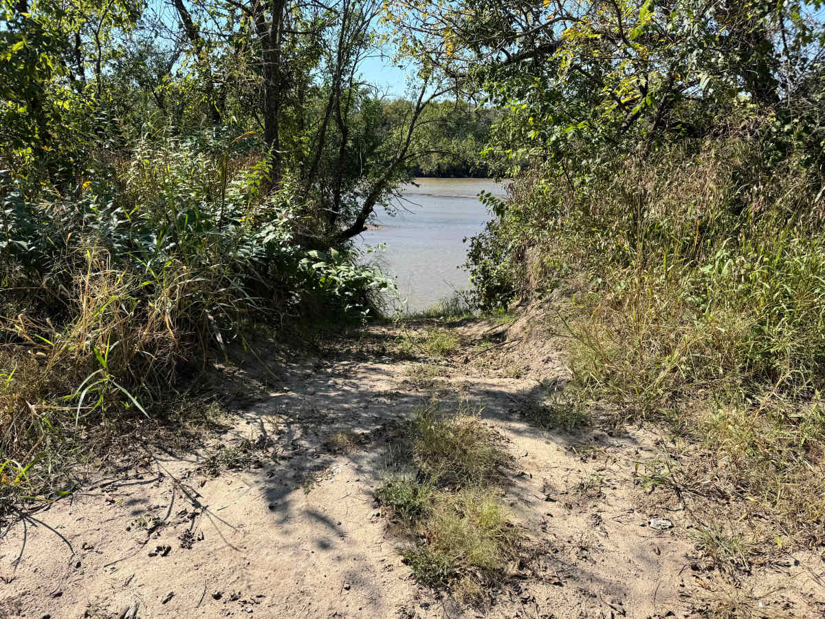
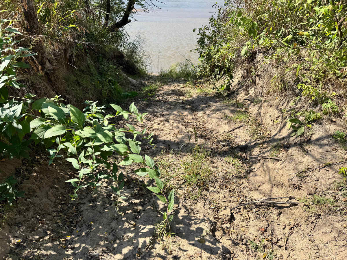
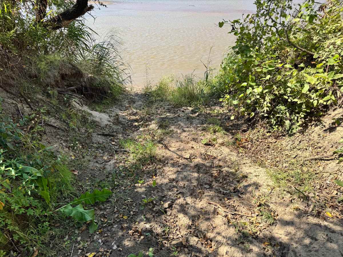
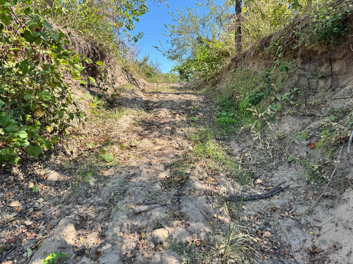
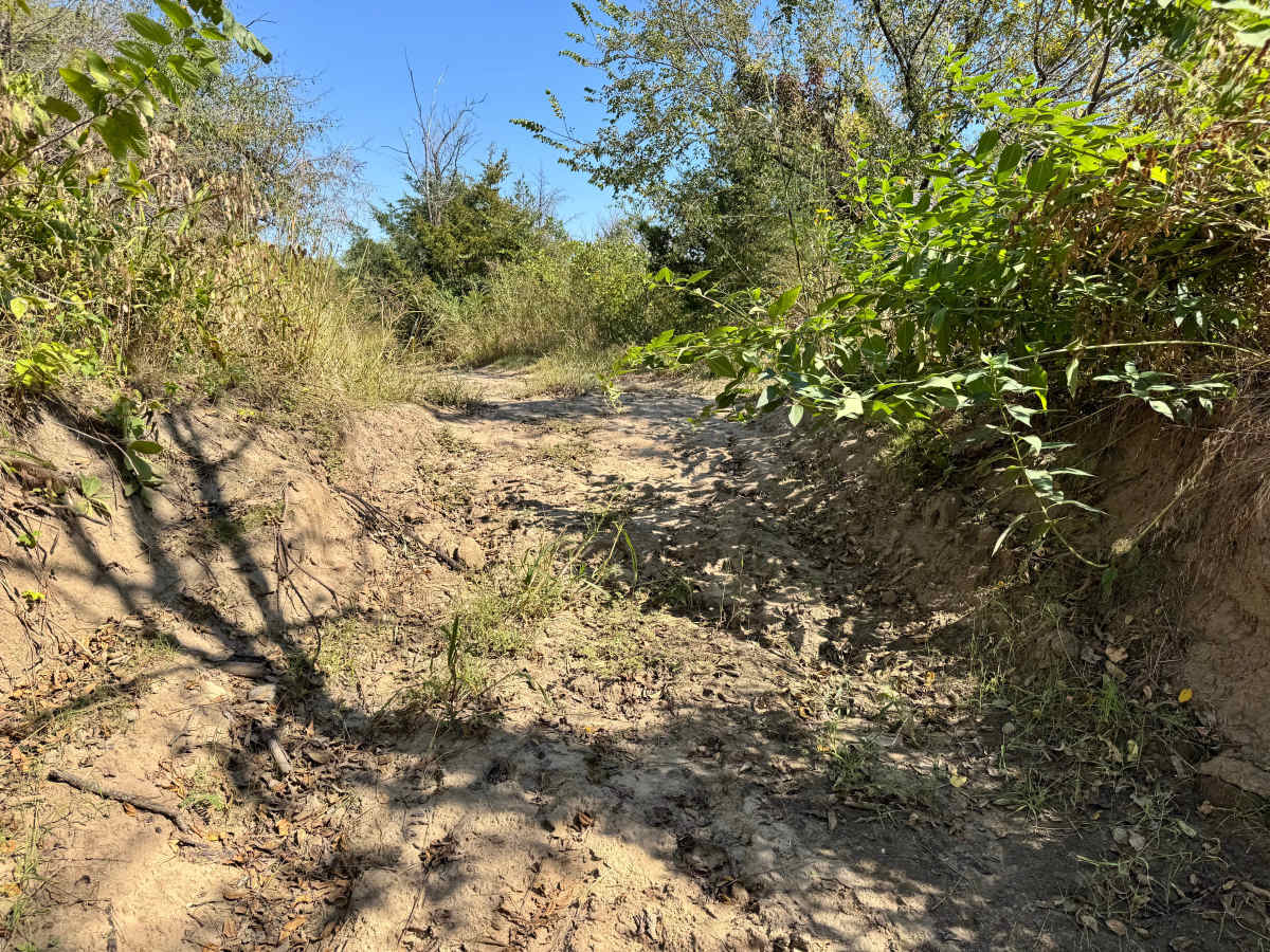
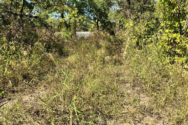
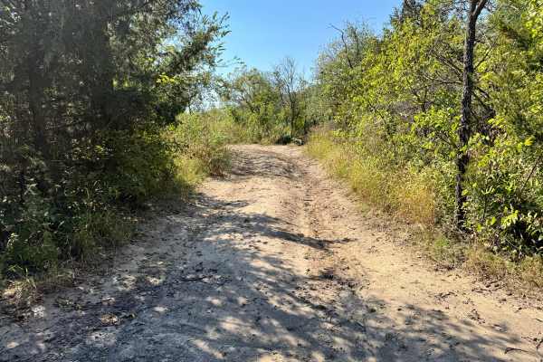
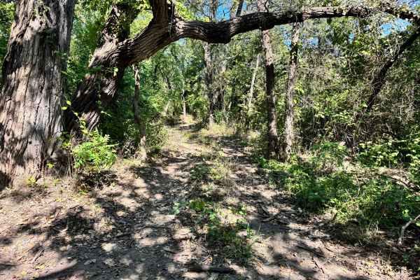
Trail Overview
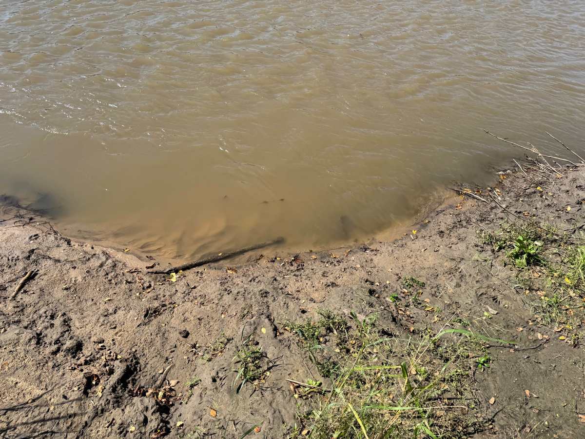
This trail descends directly to the Arkansas River, offering a potentially scenic access point, if conditions allow. During mapping, the water level was unusually high, completely covering the sandbar that typically connects this route to other nearby trails. Under normal conditions, drivers can travel along the sandbar to link with multiple routes, but this depends heavily on the river’s level. Because the trail is short, narrow, and set on a hill, reversing out can be extremely difficult if the sandbar is not accessible. It is highly recommended to walk ahead on foot before committing to confirm whether the sandbar is exposed and safe to reach. Careful planning is essential here.
Difficulty
This trail’s difficulty depends heavily on river conditions. While the descent itself is manageable, the risk comes from reaching a flooded endpoint with no turnaround space. High water can block access to the sandbar, forcing a difficult reverse climb on a narrow, sloped trail. Drivers must plan ahead and check conditions, making this a moderately challenging route that demands caution and awareness. If the water is low, the sand good cause traction issues and cause you to get stuck up to your axles.
History
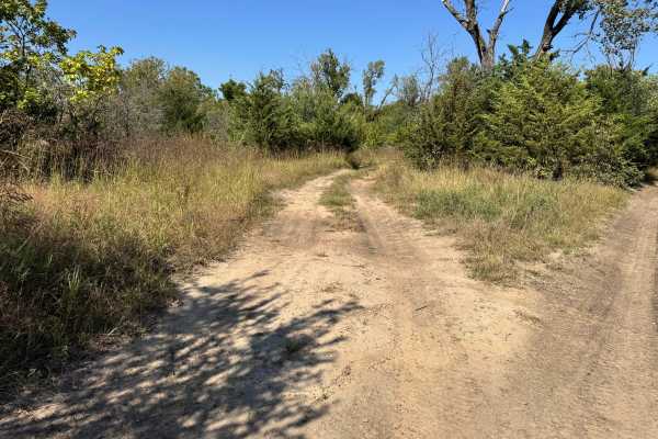
This park was formerly known as Sandy Bottoms, and longtime visitors may still refer to it by that name. The access road and staging area have evolved over time, but it remains a well-known local spot for off-road events and community rides.