Trail Overview
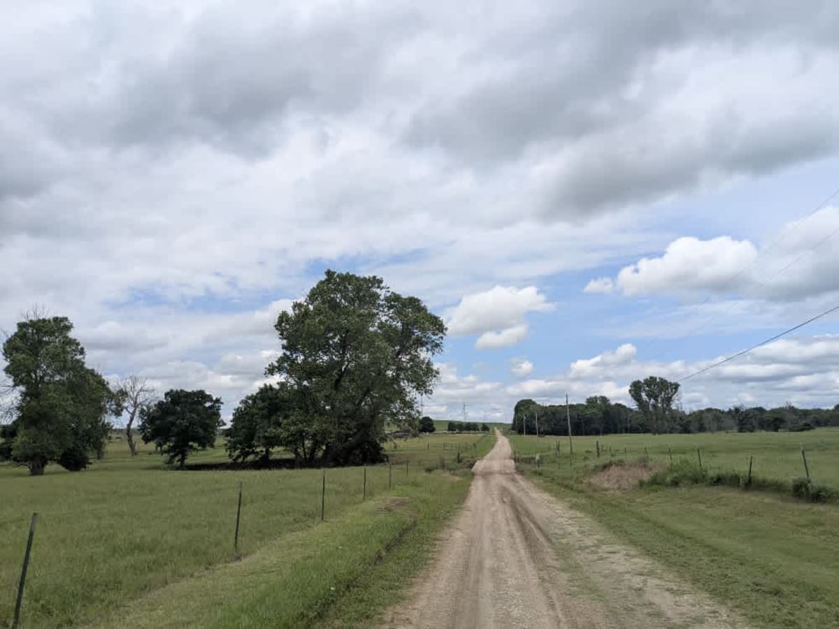
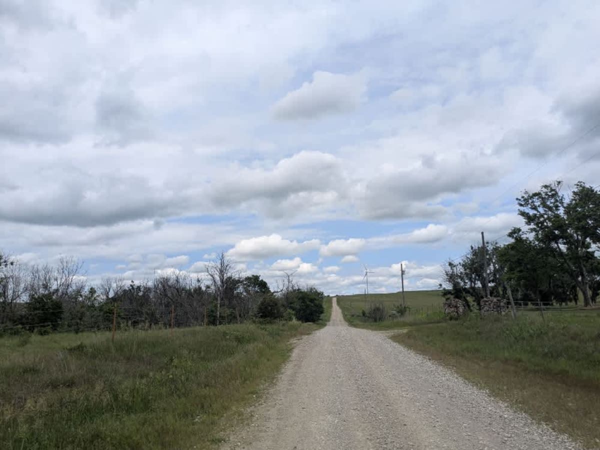
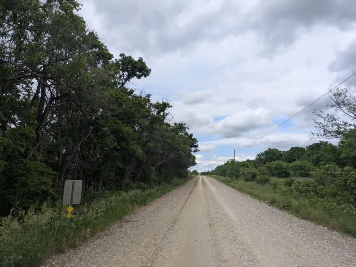
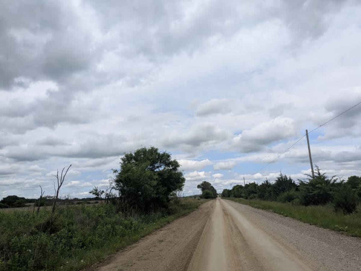
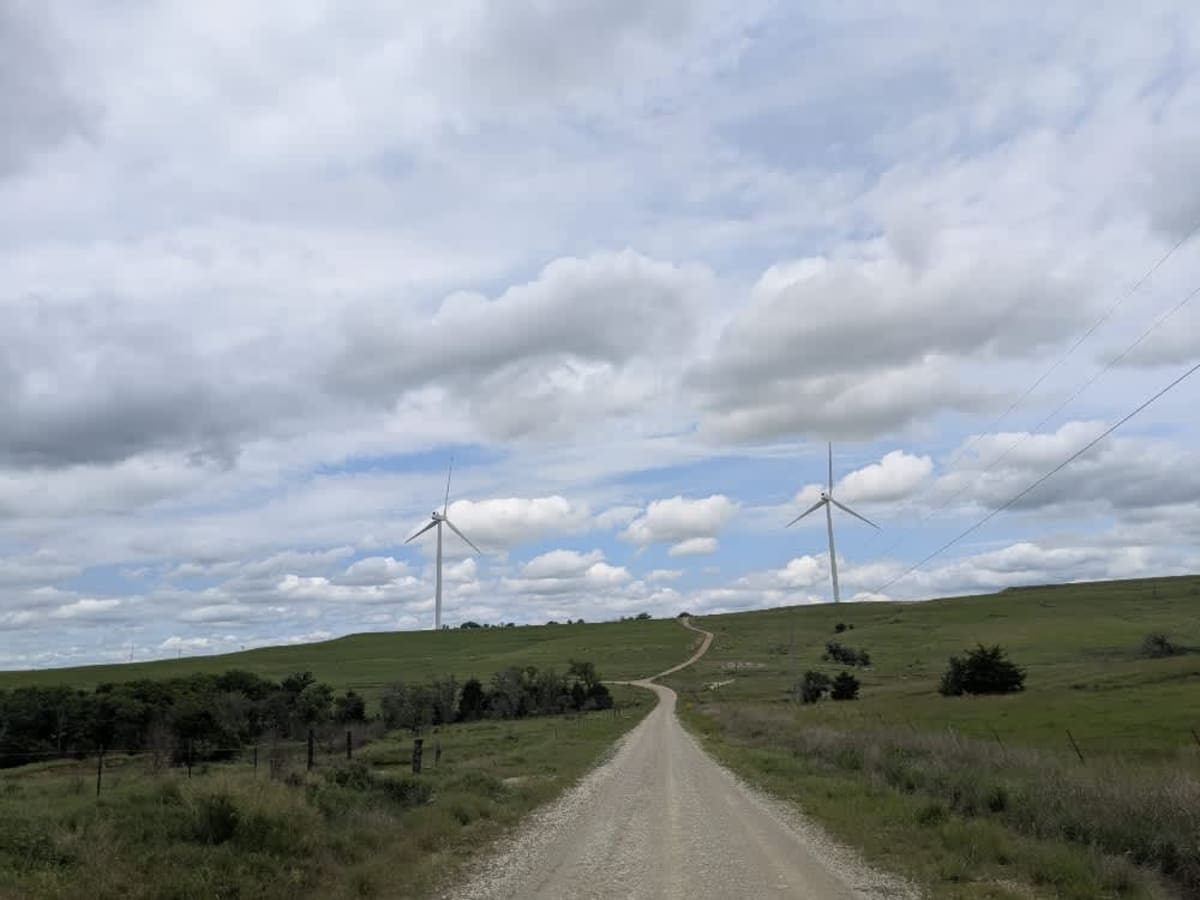
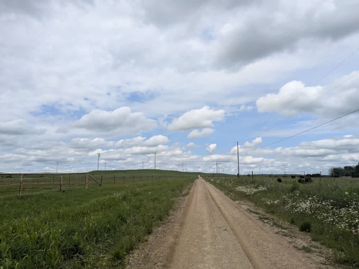
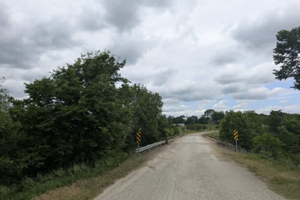
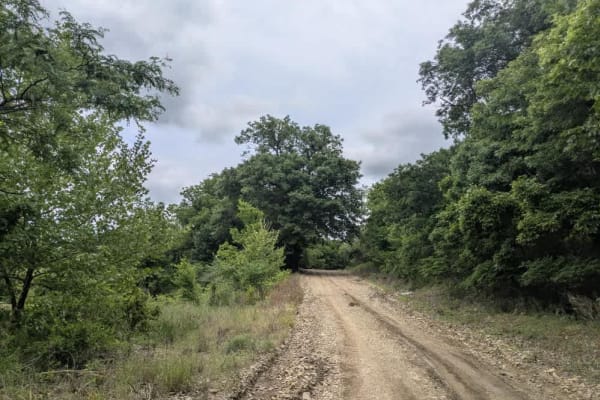
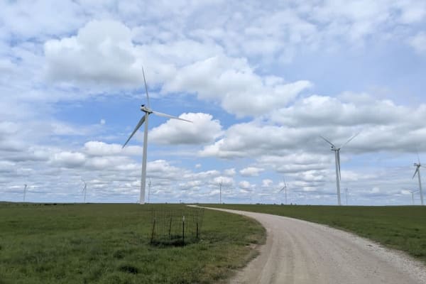
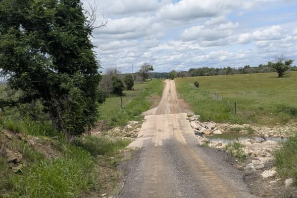
This lane is narrower than most main routes, and while the gravel is generally well-groomed, rocky patches and washboard bumps keep the ride lively on its winding stretches. It rolls past a handful of farmhouses, then skips over several small bridges before climbing into a landscape dotted with towering wind turbines--a clear hint that breezy days are common here. There are no places to pitch a tent, no trash bins, no water taps anywhere along the way, and cell bars flicker on and off, so rely on your onX map whenever a signal pops up.
Difficulty
This road consists primarily of well-maintained county gravel roads and rural connectors running through the eastern edge of the Flint Hills. Roads are graded regularly, wide enough for two vehicles to pass, and suitable for all high-clearance vehicles and most passenger vehicles in dry conditions.
History
This route traces the historic heartland of the Flint Hills, a region that has remained largely untouched by modern agriculture due to its shallow, rocky soils--making it one of the last strongholds of North America's tallgrass prairie. The trail crosses land with deep cultural roots--from Native American hunting grounds to working cattle ranches. Expect long views over tallgrass prairie, passing ghost towns, century-old barns, and scenic byways that have carried generations of ranchers and travelers alike.