Trail Overview
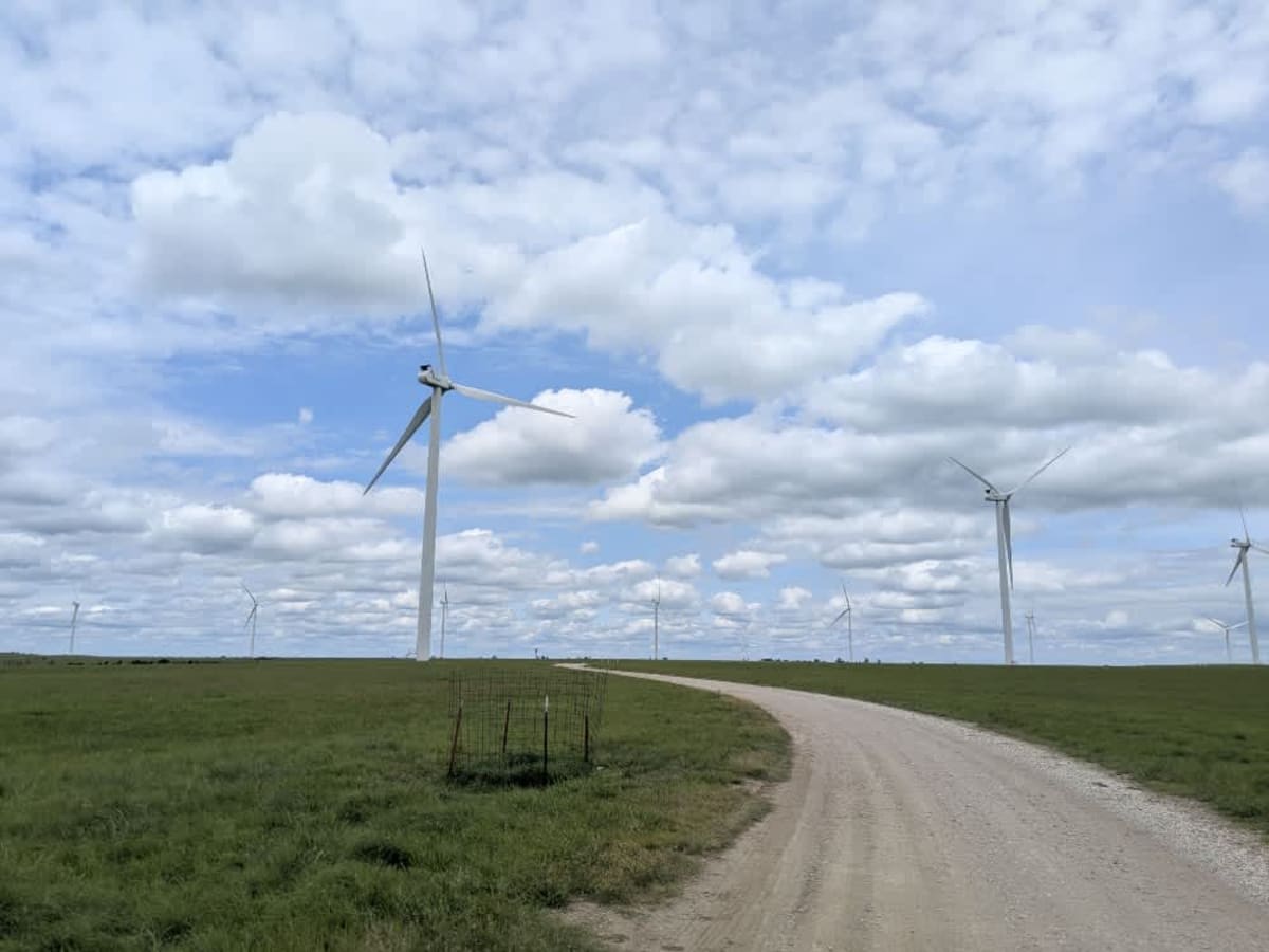
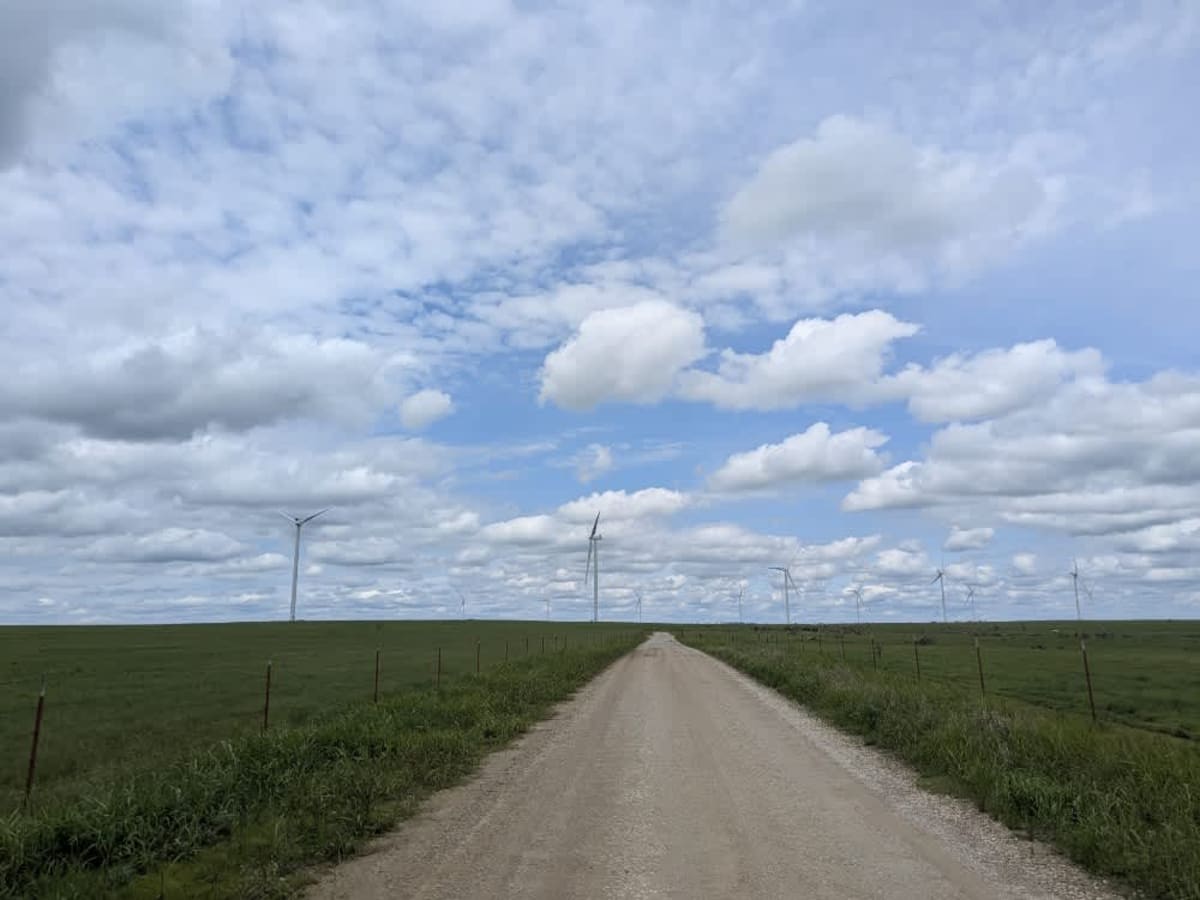
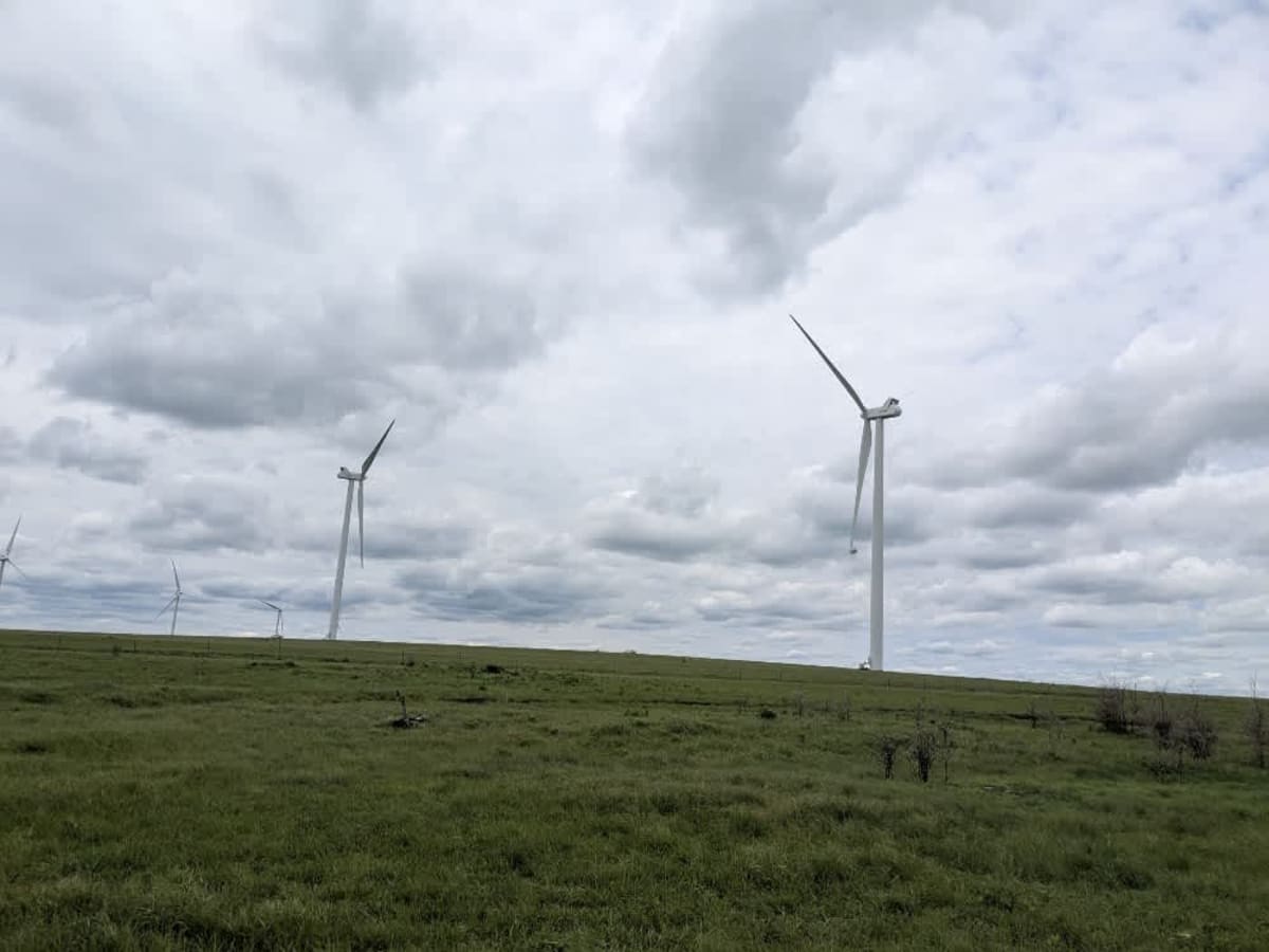
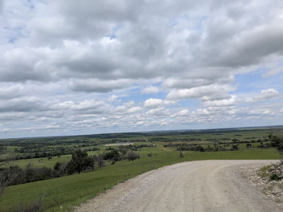
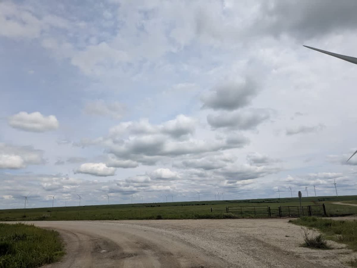
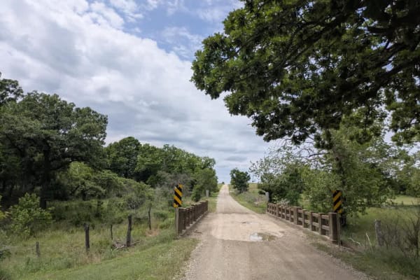
The track doubles as an access road for local farmers and crews who service the nearby wind turbines, so it stays in decent shape, though corrugations and the occasional pothole still jolt the suspension. After passing the turbine field office, the road climbs a gentle rise, and from the crest, you can take in wide-open views of the surrounding countryside before it drops back toward the plains. There are no spots to camp, no bins, and no water sources en route, and cell reception is patchy at best, so keep an eye on your onX map whenever a signal flickers through.
Difficulty
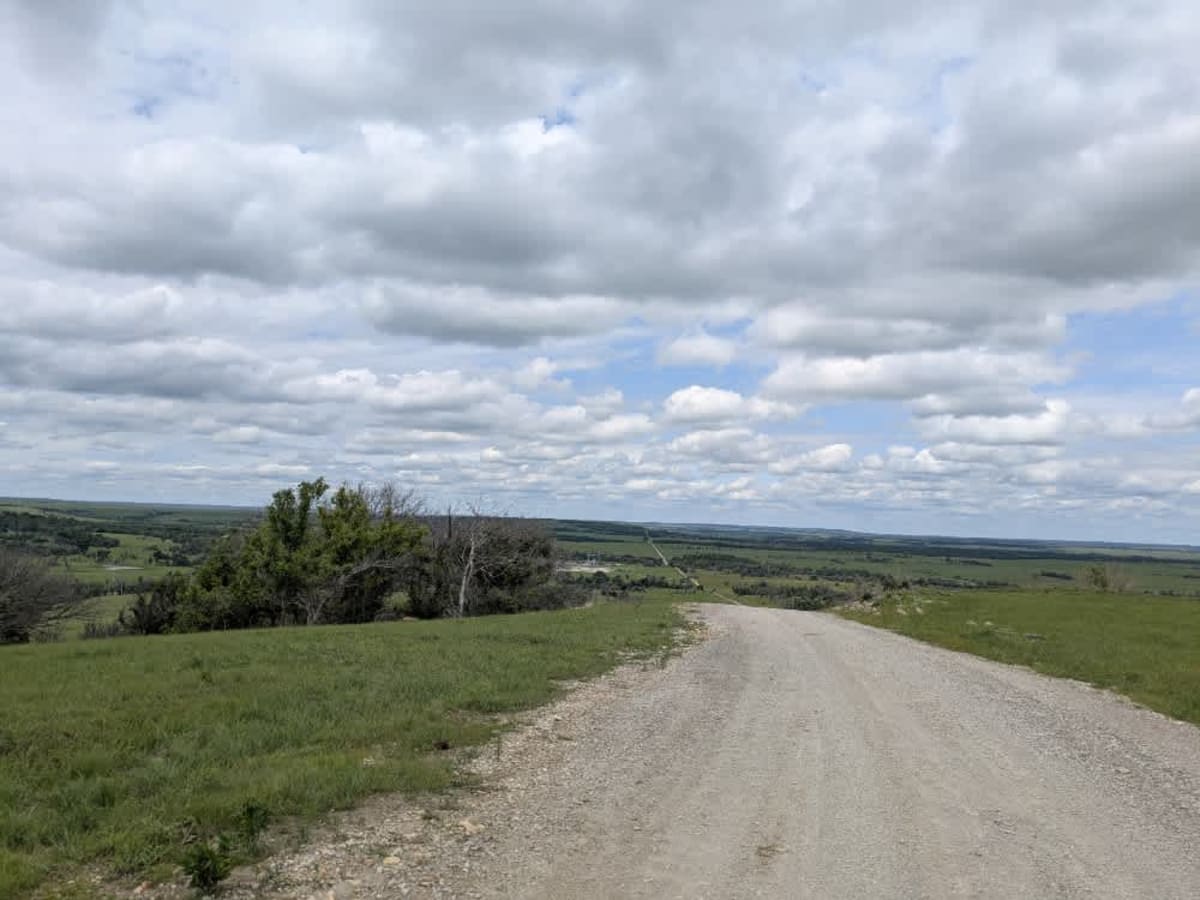
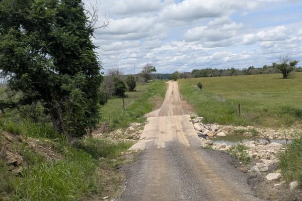
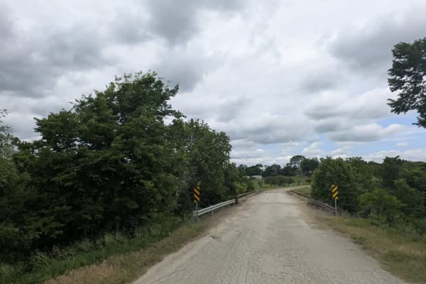
This road consists primarily of well-maintained county gravel roads and rural connectors running through the eastern edge of the Flint Hills. Roads are graded regularly, wide enough for two vehicles to pass, and suitable for all high-clearance vehicles and most passenger vehicles in dry conditions.
History
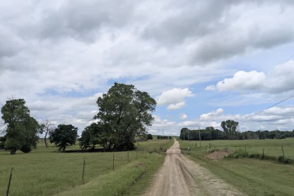
This route traces the historic heartland of the Flint Hills, a region that has remained largely untouched by modern agriculture due to its shallow, rocky soils--making it one of the last strongholds of North America's tallgrass prairie. The trail crosses land with deep cultural roots--from Native American hunting grounds to working cattle ranches. Expect long views over tallgrass prairie, passing ghost towns, century-old barns, and scenic byways that have carried generations of ranchers and travelers alike.