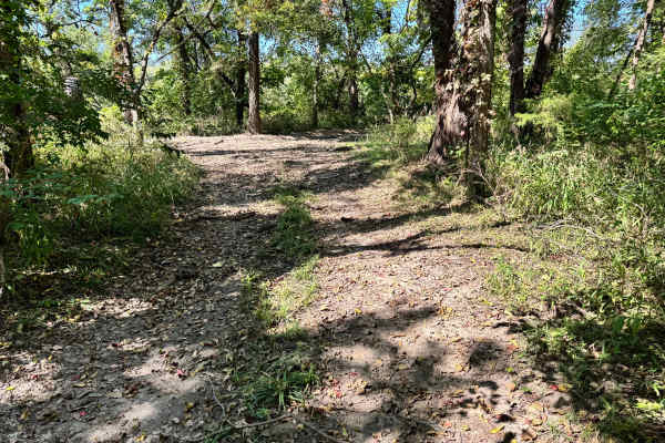
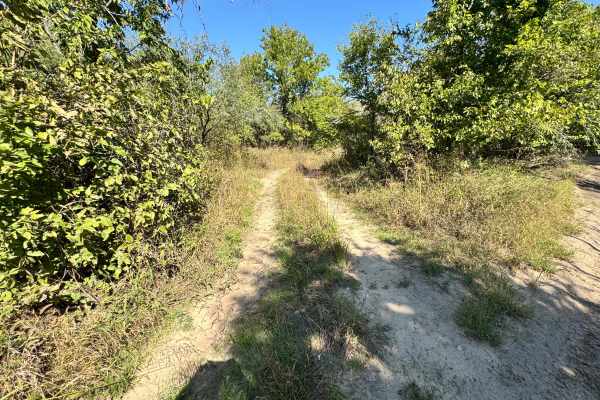
Trail Overview
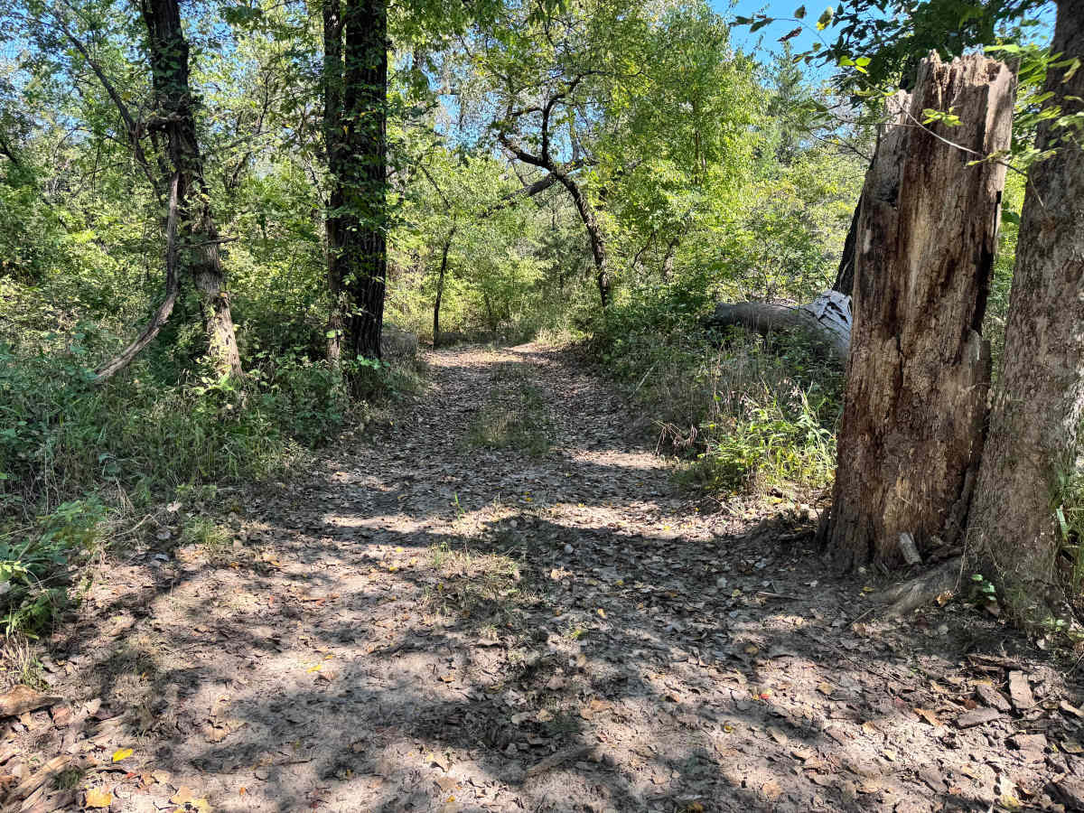
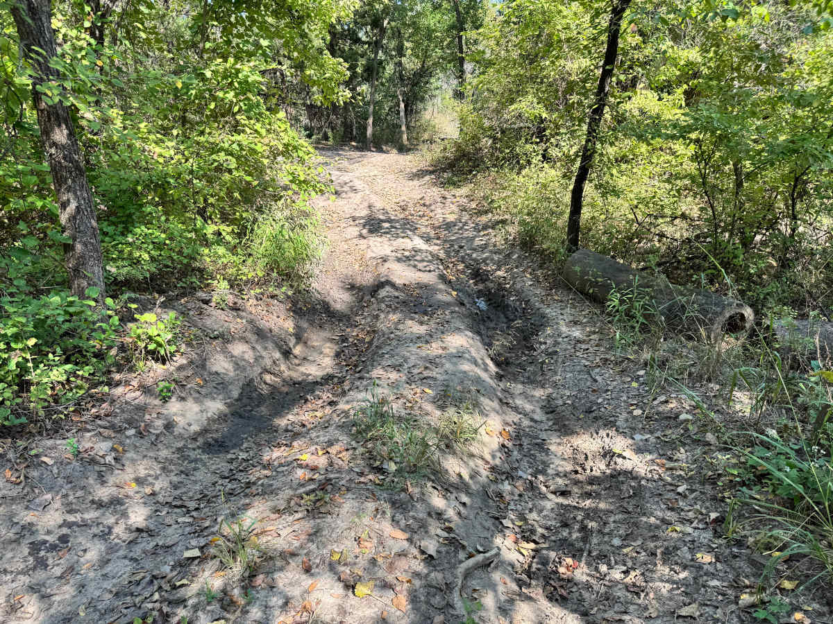
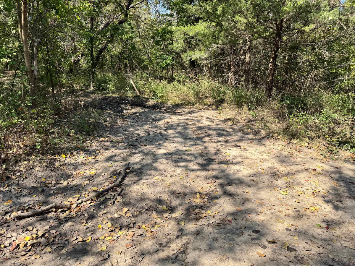
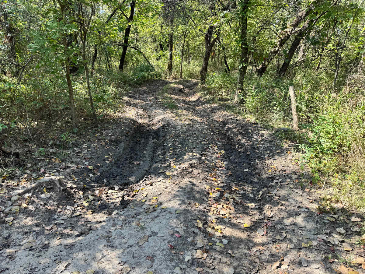
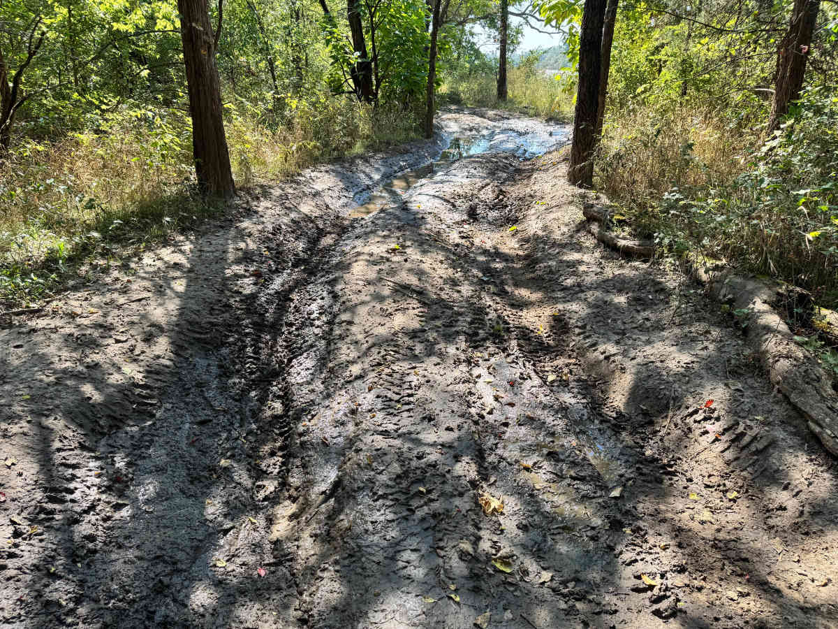
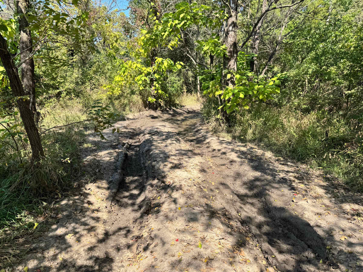
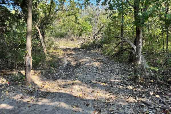
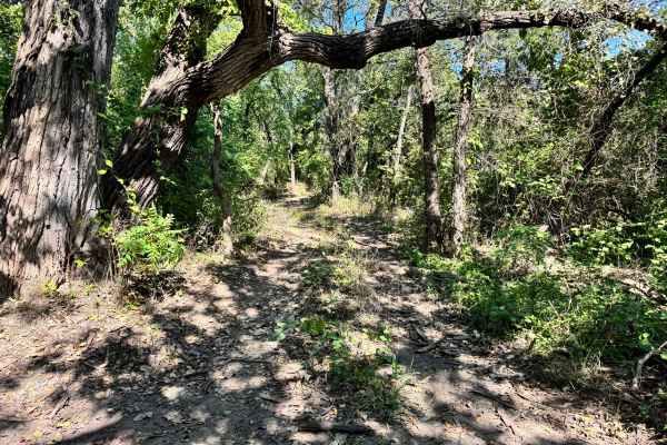
This trail is fairly simple as it winds through a shaded stretch of tree. The path is easy to follow, but drivers should be prepared for several muddy sections where the trail has ruts and mud holes. These mud holes can vary in depth depending on recent weather, though most appear to have a solid base. Outside of the mud, there are no major obstacles. If a vehicle does become stuck, the surrounding trees provide reliable anchor points for self-recovery. Overall, it's a mild trail with just enough mud to keep things interesting.
Difficulty
This trail is generally easy but earns a moderate rating due to multiple muddy, rutted sections. While there are no major obstacles, drivers should be prepared with recovery gear, especially since traction can be unpredictable. The surrounding trees make self-recovery possible, but caution is still required.
History
This park was formerly known as Sandy Bottoms, and longtime visitors may still refer to it by that name. The access road and staging area have evolved over time, but it remains a well-known local spot for off-road events and community rides. Outside the park, Mulvane offers a few nearby options for food, fuel, and day-trip breaks. The town has small diners, local gas stations, and grocery stops for supplies. Families can visit the Mulvane Historical Museum or stop by the Kansas Star Casino just a short drive away for dining and entertainment. For those wanting extra outdoor time, the Arkansas River access points nearby offer fishing and quiet spots to relax after a day on the trails.