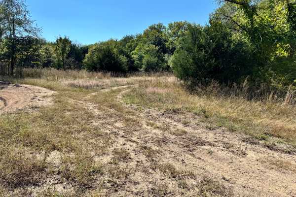
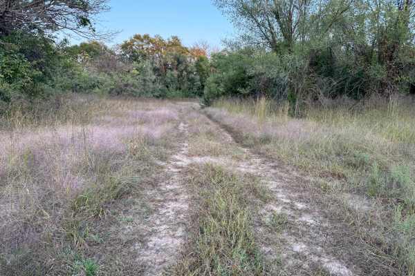
Trail Overview
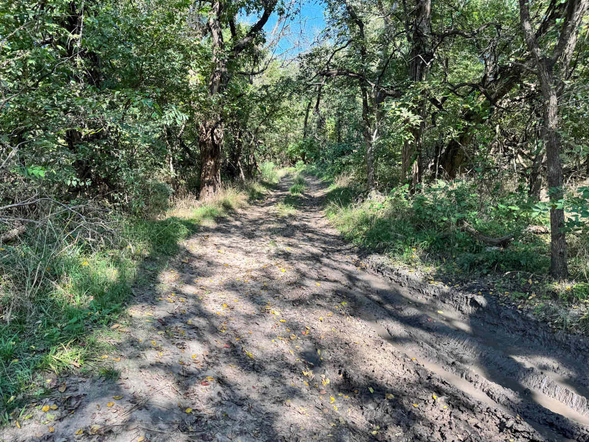
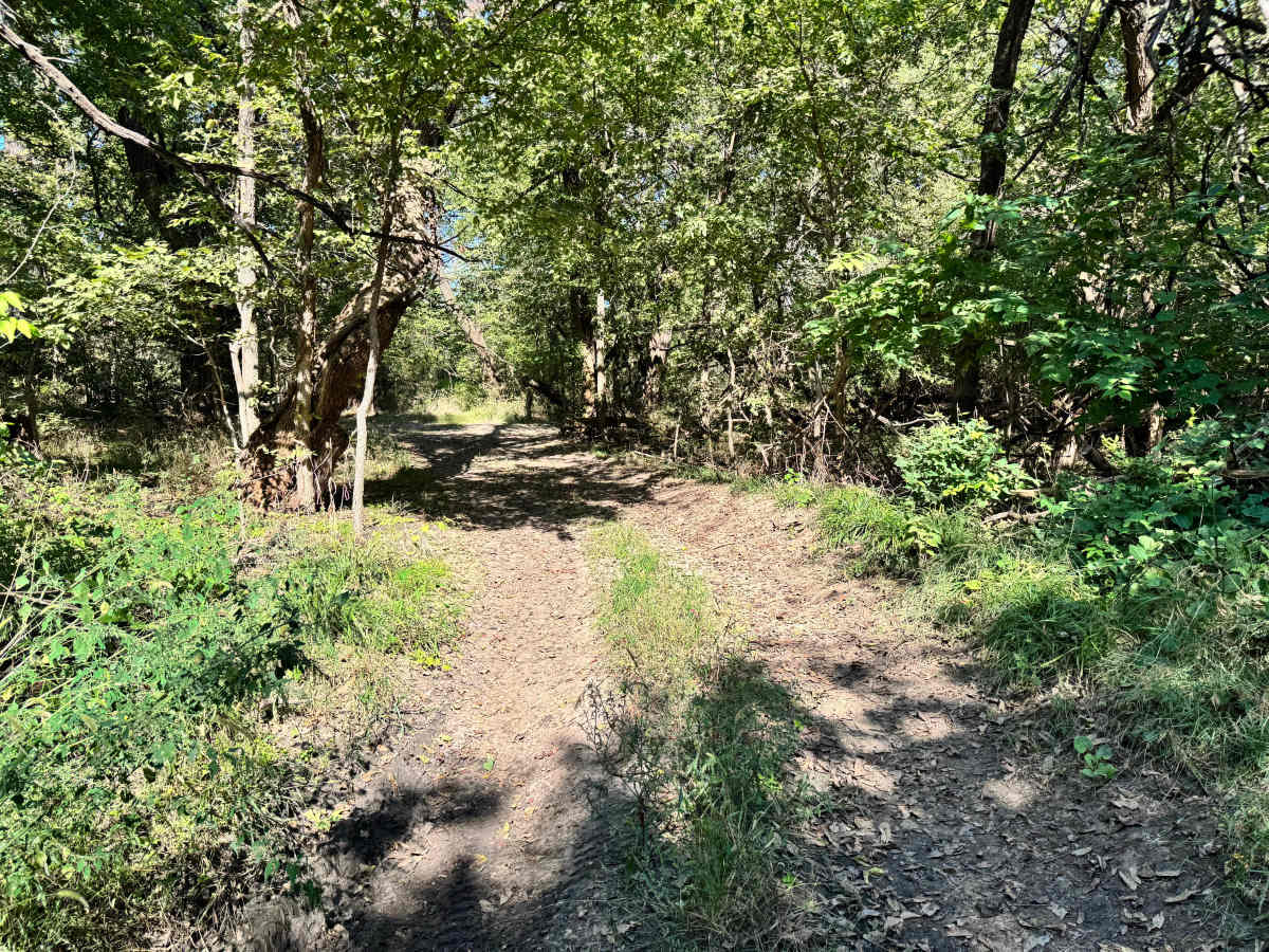
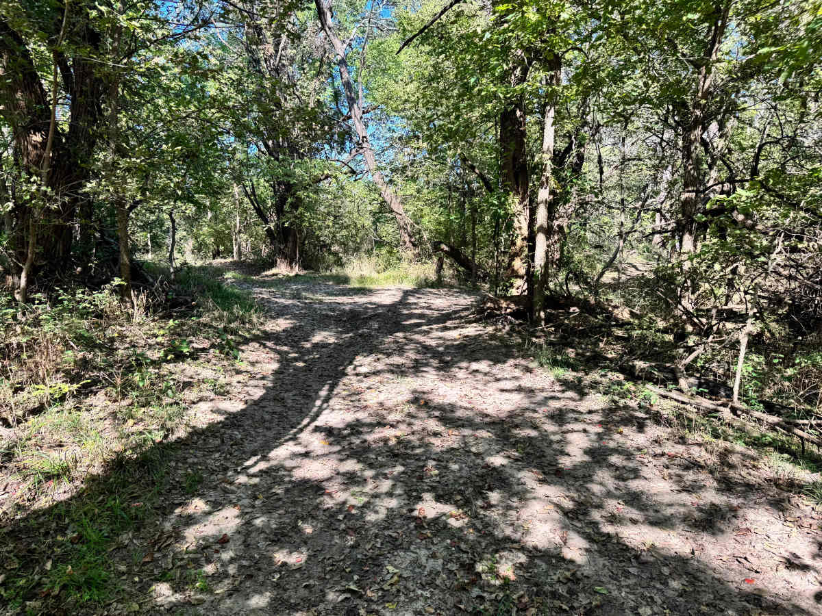
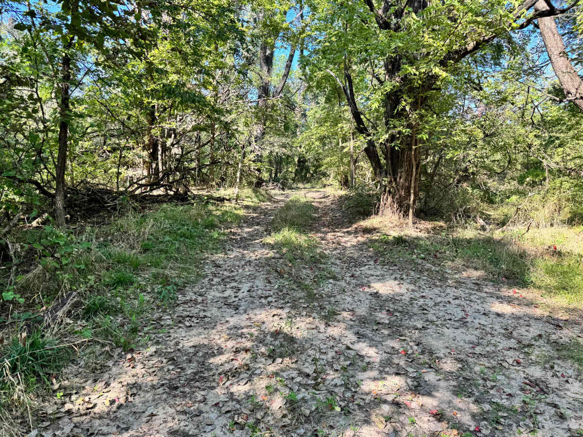
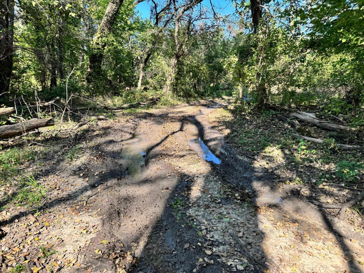
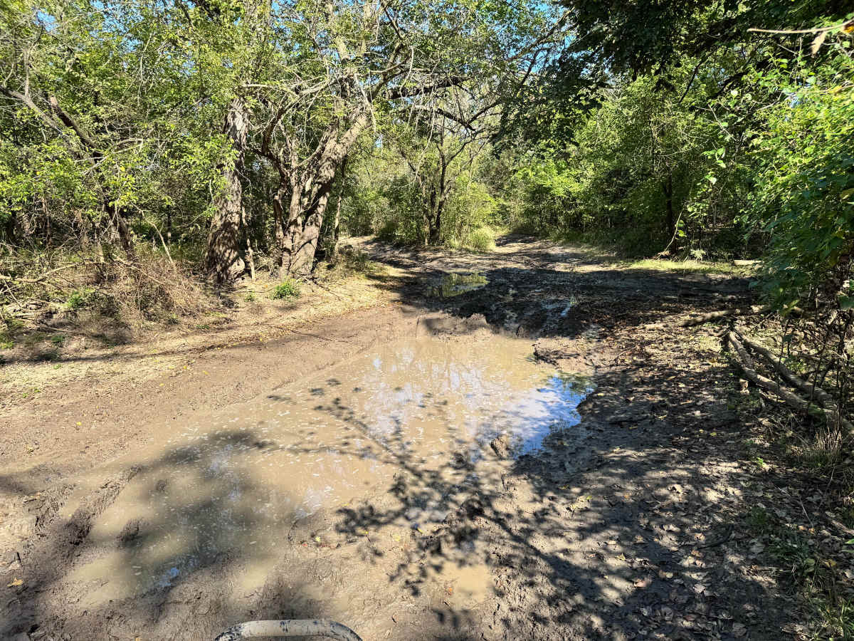
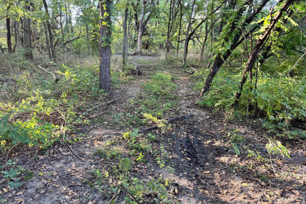
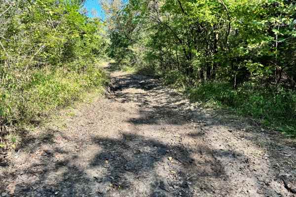
This trail is defined by multiple deep mud holes that have become heavily rutted from frequent use. Once you enter these sections, you’re often committed to the existing lines and must follow the ruts rather than choosing a clean path. The mud can vary in depth, with some areas capable of slowing or bogging down smaller vehicles. Scattered throughout the trail are partially buried logs and debris, which pose a risk if approached at high speed, particularly for side-by-sides or low-clearance rigs. Moving slowly and maintaining control is essential to avoid damage. While not overly technical, this trail demands attention and preparation for recovery.
Difficulty
This trail earns a 6 due to deep, rutted mud holes and hidden logs that can pose real hazards. While it’s not a rock crawl, the commitment required once you drop into the ruts, paired with potential for vehicle damage, makes it moderately challenging. Careful driving, good traction, and recovery gear are strongly recommended.
History
This park was formerly known as Sandy Bottoms, and longtime visitors may still refer to it by that name. The access road and staging area have evolved over time, but it remains a well-known local spot for off-road events and community rides.