Trail Overview
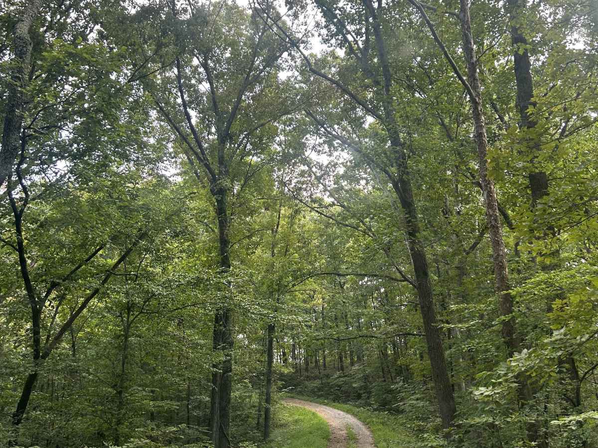
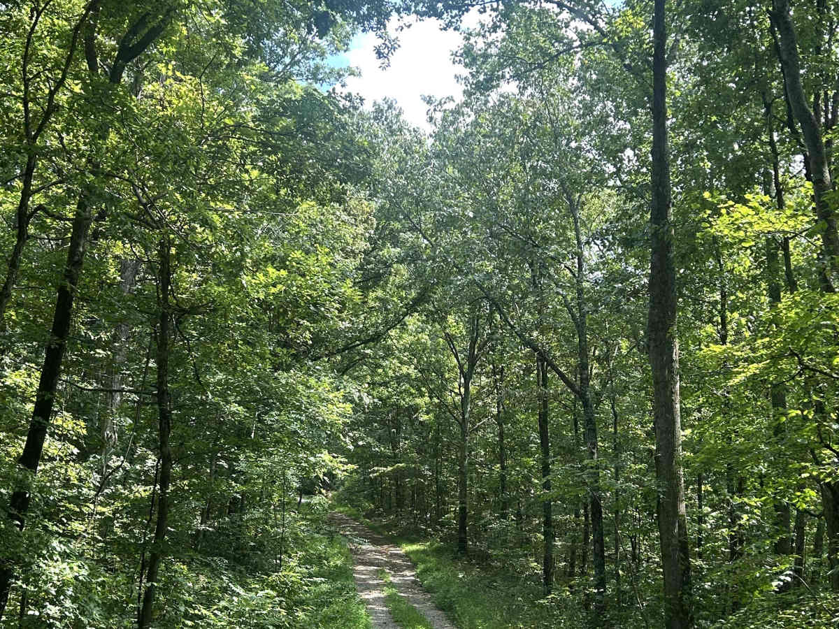
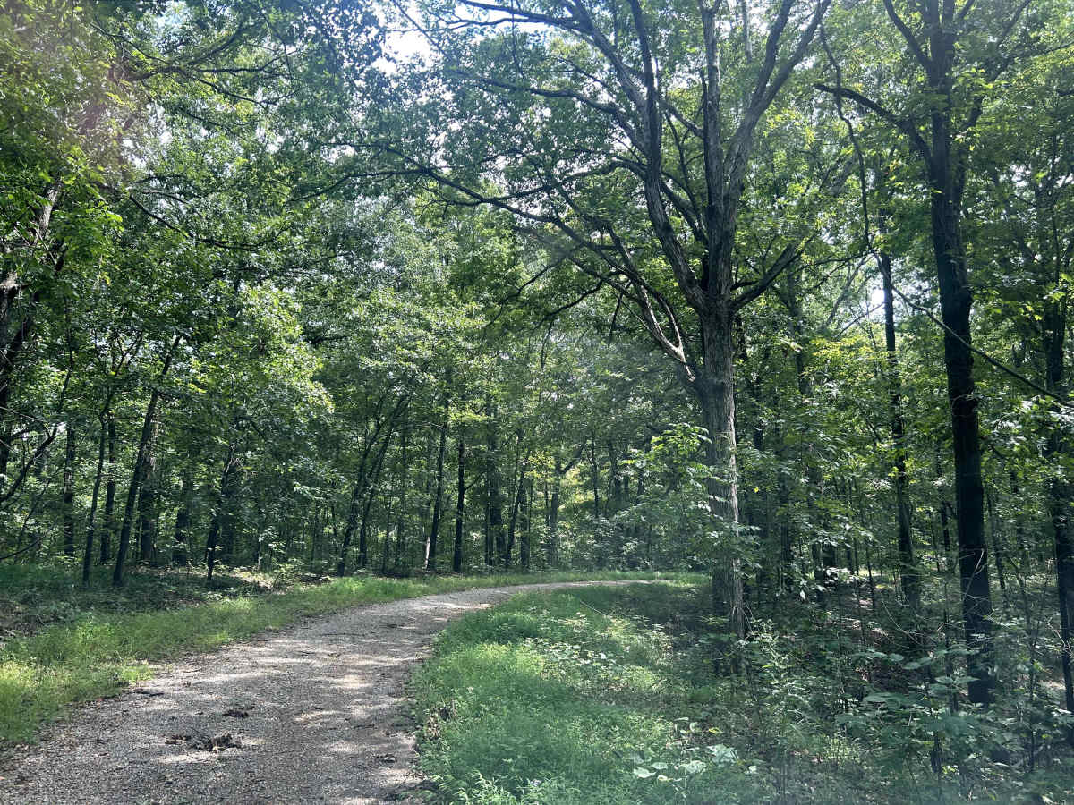
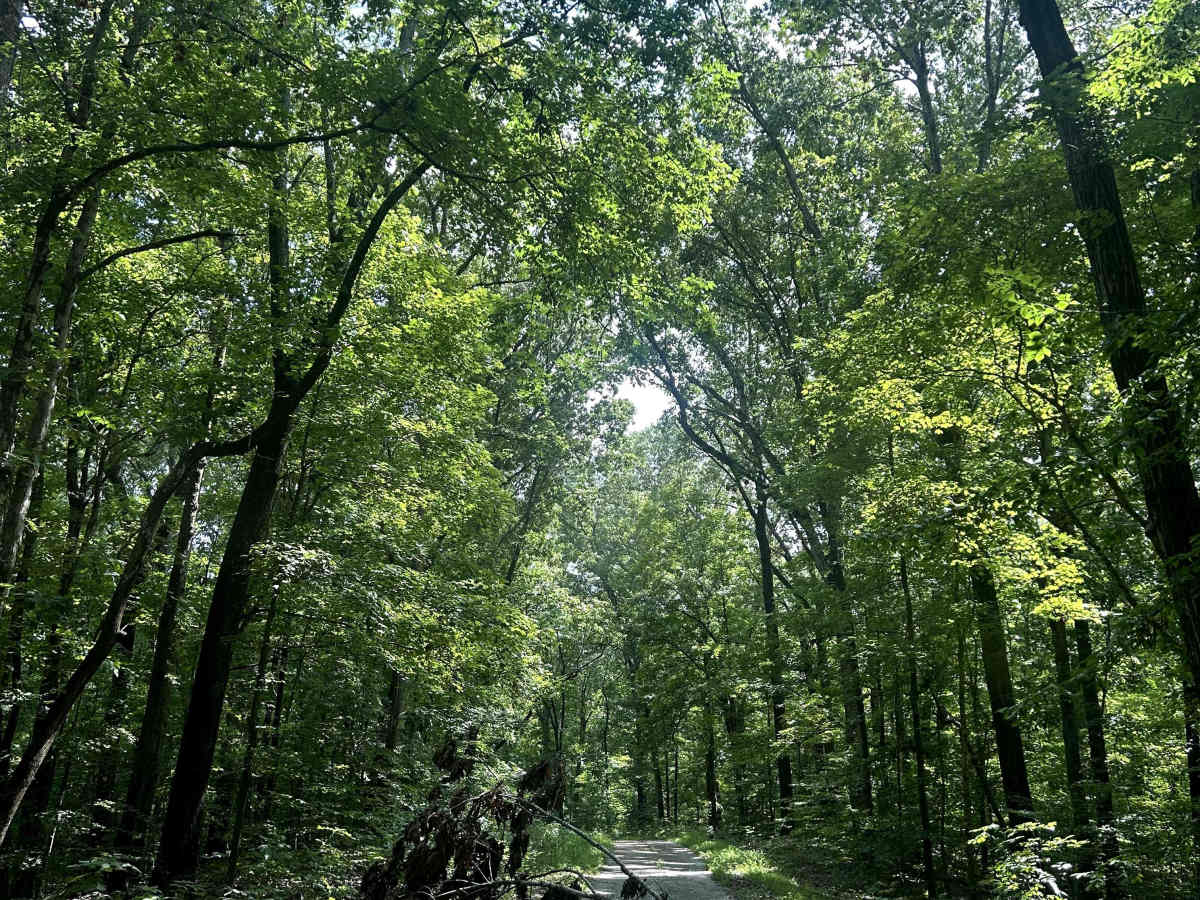
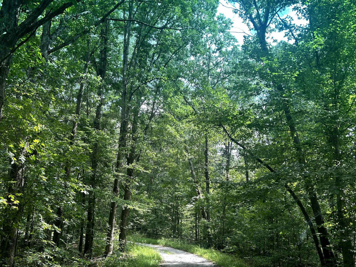
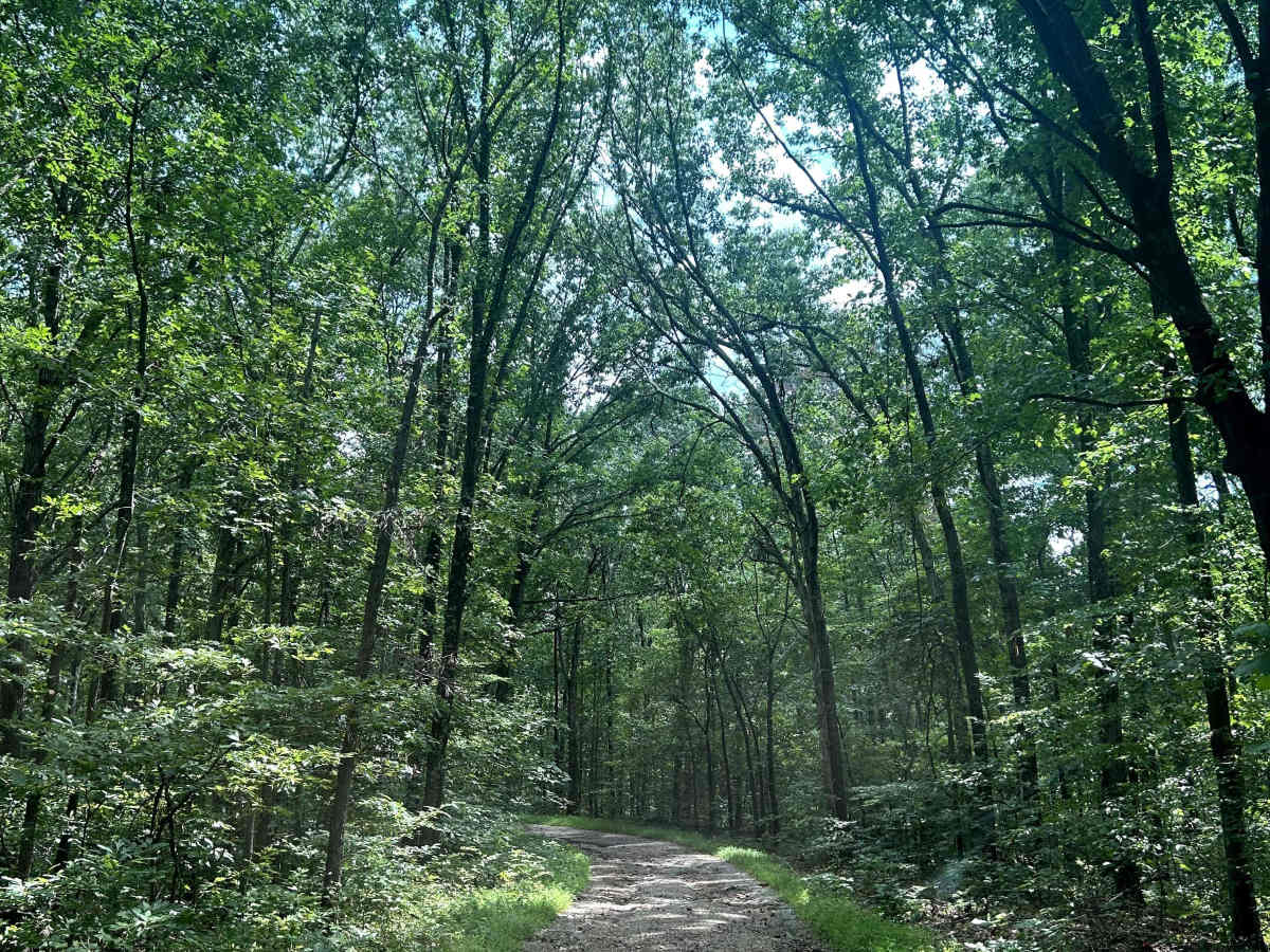
Richland Ridge Trail serves as a main north-to-south artery through this part of Shawnee National Forest, with several side trails branching off along the way that invite further exploration. The route travels through beautiful hardwood forest and is generally easygoing, making it more about enjoying the landscape and accessing the surrounding trail network than tackling technical obstacles.
The surface is primarily dirt and gravel, with occasional rainwater erosion, small washouts and several deeper puddles that require slowing down to avoid a hard impact. None of the obstacles are particularly technical, but recent rain can make the uneven sections and standing water more consequential. Overall, Richland Ridge is a scenic, approachable route that also provides access to some of the more interesting trails and destinations branching from the main corridor.
Difficulty
Generally easy dirt and gravel trail with minor rainwater erosion, small washouts, and occasional deep puddles that require slowing down but present little technical challenge.