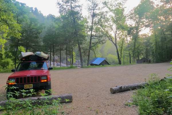
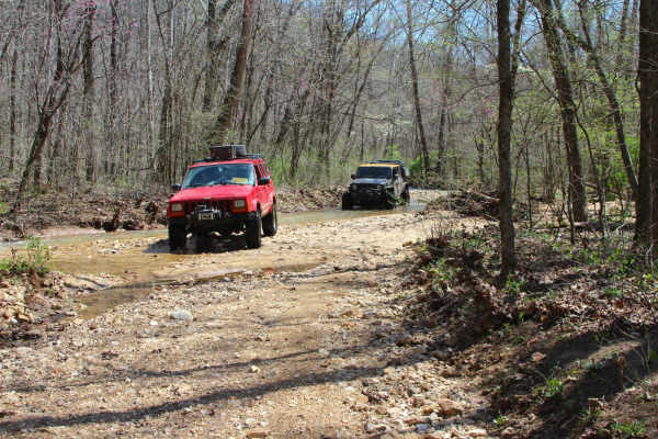
Trail Overview
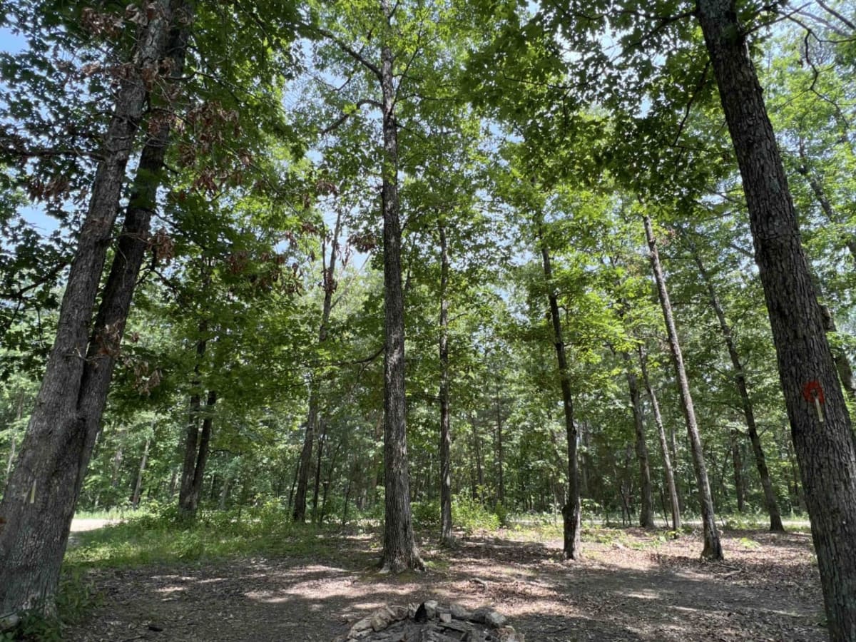
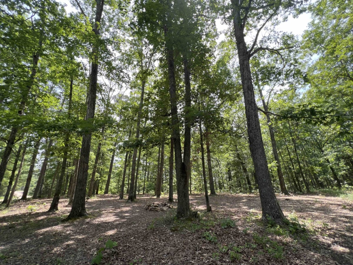
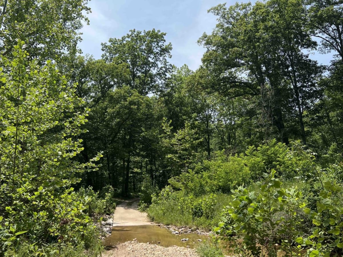
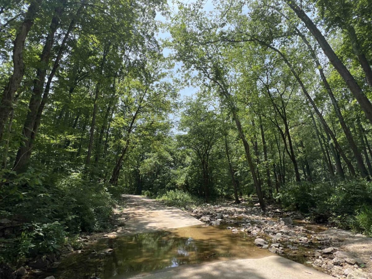
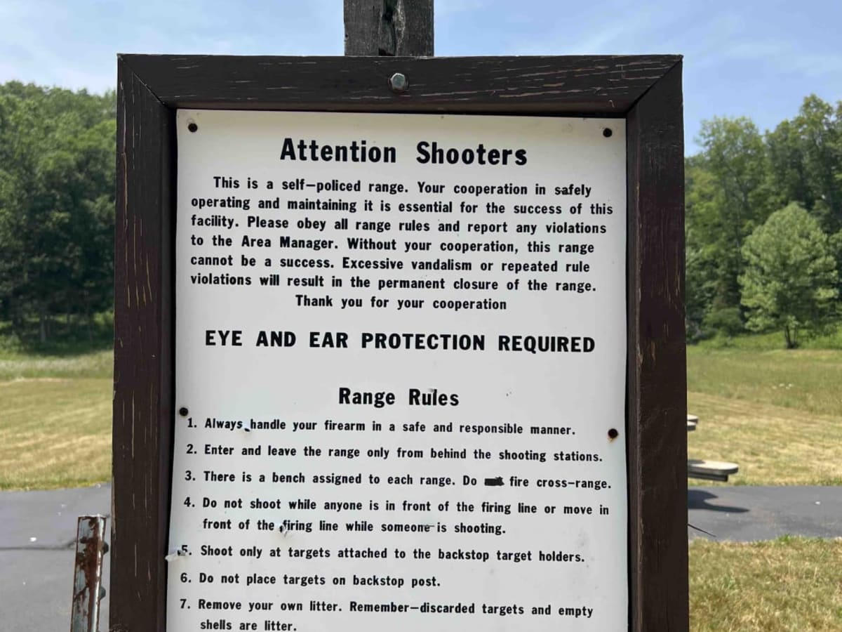
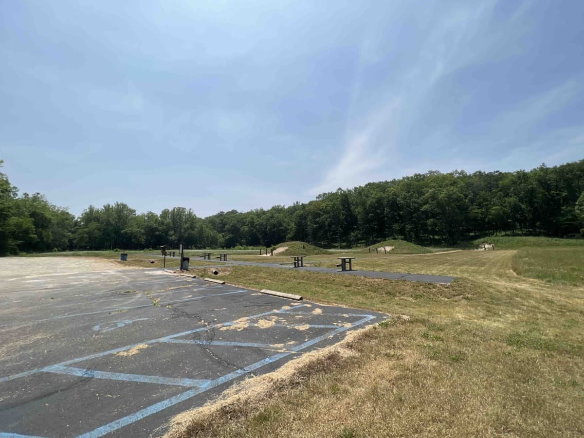
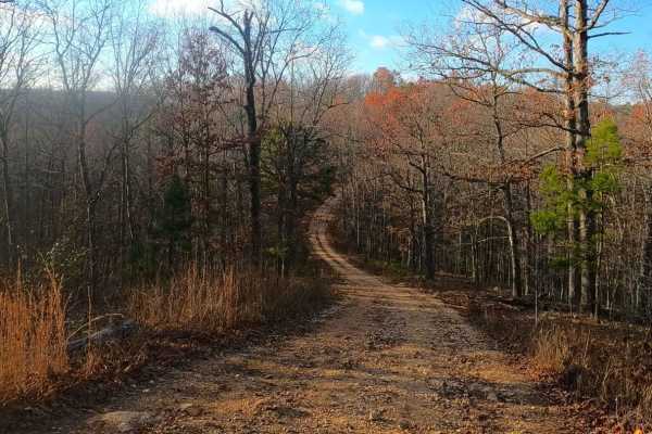
The Current River Conservation was created by combining Deer Run, Carrs Creek, Cardareva and Paint Rock State Forests combining 28,000 acres. The trail starts as #1 on the map which is provided at the beginning of the trail. Current River Conservation trail leads you down an easy gravel road however there are two water crossings which may not be passable for any vehicle during heavy rains. There is a really well built shooting range called Deer Run which includes tables, trash cans, berms, and a big parking lot. Continuing along you will find a dispersed campsite with a fire ring, this is a perfect spot to end the day or continue into the conservation area to explore other trails. Wildlife in this area are all around to include hawks, deer, turkey vultures,, black bass and catfish. One of the most notable species to watch is the glow bugs. What a sight to see as they dance through the forest at night.
History
The Current River Conservation Area is home to the Missouri Ozark Forest Ecosystem Project which is the most comprehensive forest management studies in North America, according to the Conservation packet. Here is a website on the history of the area. https://mdc.mo.gov/discover-nature/places/current-river-conservation-area