Trail Overview
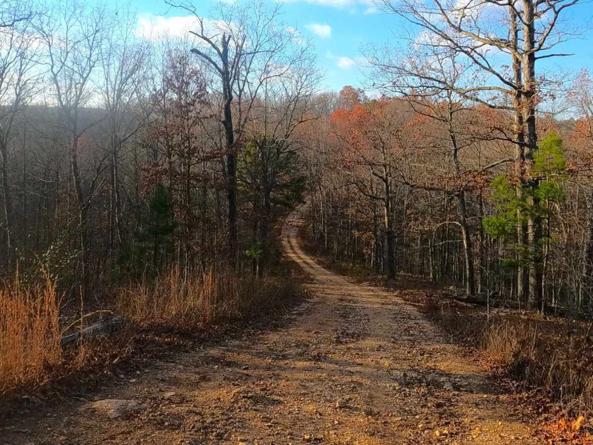
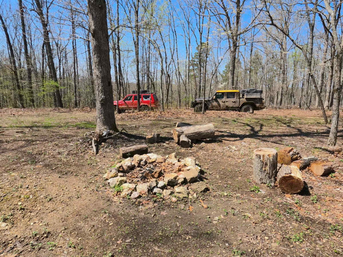
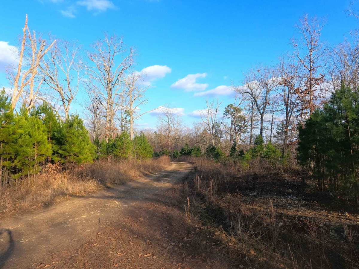
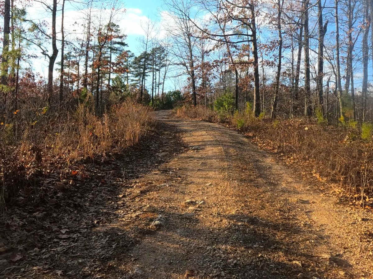
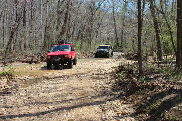
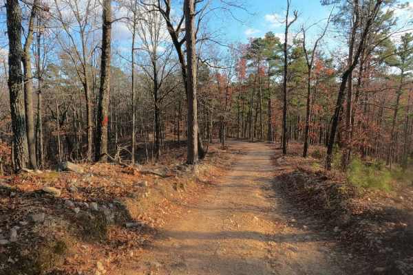
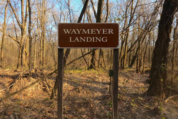
Rollercoaster, possibly partially known as Cabin Holler, is a gravel and natural rock/dirt mix road through north-eastern Peck Ranch Conservation Area, leading into the Rocky Creek Conservation Area (former Roger's Creek Natural Area) at Mud Spring Hollow, and ending in the far eastern section of Rocky Creek C.A. (former Beal State Forest), all being maintained by the Missouri Department of Conservation within Shannon and Carter Counties. Over the 10 mile track, Rollercoaster features a diverse spread of mild terrain, including lowland valleys with low water bridges, sections of maintained gravel, with a contrast of natural dirt and coarse rock as the base road, climbing steep grades with mild erosion exposing cobbles and larger coarse gravel before riding the spine of the ridge tops, where there is potential hard bottomed water collection holes and surface mud when conditions are wet. The rollercoaster is a logistical must if you want a scenic off-pavement track between Eminence and Van Buren, with views in all directions from one of the highest ridges in the area. The foliage of the Rollercoaster includes pines, oaks, dogwoods, and more, which are especially worth seeing in springtime or fall. Enjoy the Rollercoaster, where there is no waiting line to ride.
Difficulty
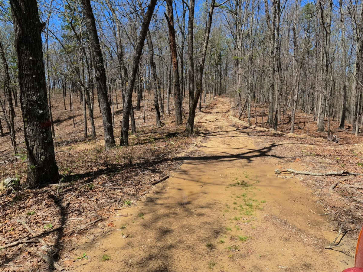
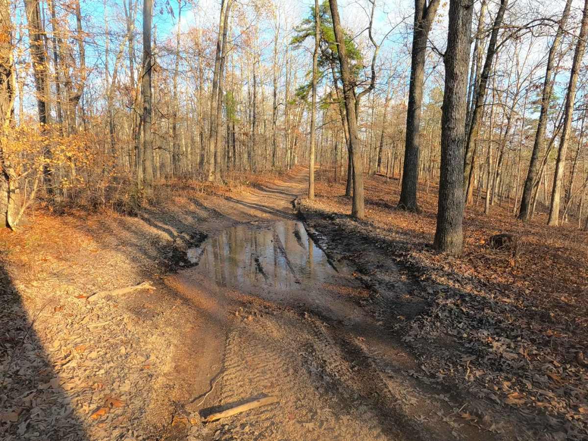
Rollercoaster is given a 2/10 base rating for having moderate grades up and downhill, likely requiring 4WD for stable traction over the erosion of loose coarse rock and cobbles on said grades. The valleys also feature small low water crossings at normal average, featuring no more than splash depths (6" and under). During heavy rain and wet conditions the difficulty can increase with the low water levels increasing to the 12" range, and the hard bottom water collection spots on the ridges holding similar amounts of water and having surface mud in places.
History
Looking at old topo maps such as the 1928 edition of Cardareva, Missouri, only fragments of the road existed with a majority of the middle portion between Mud Spring Hollow and Roebell Mountain not even established yet. Though by 1954 the topos started displaying a lookout designation for Stegall Mountain, and by 1986 edition of Spring Valley, Missouri had Stegall Mountain Tower by full name and additionally the full track of the Rollercoaster displayed, yet unnamed. This continued to modern day with the 2021 topo of Stegall Mountain showing it unnamed with the current (4/2025) Shannon County map not showing any such road. One map suggested that part of Rollercoaster was called Cabin Holler, but it also spurred off track going north continuing with said Cabin Holler name, with no other map showing this.