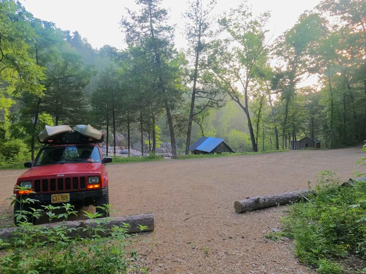
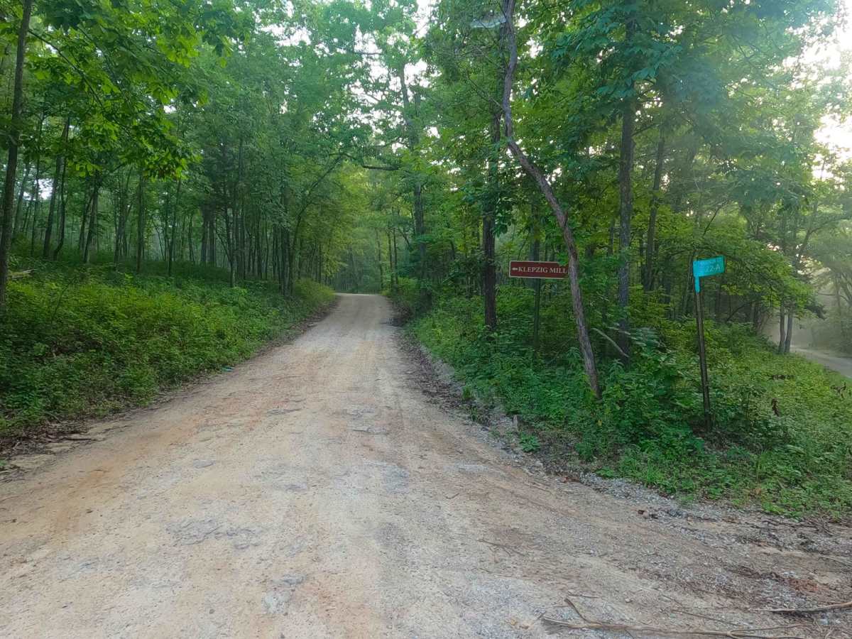
Trail Overview
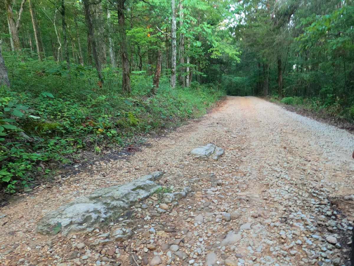
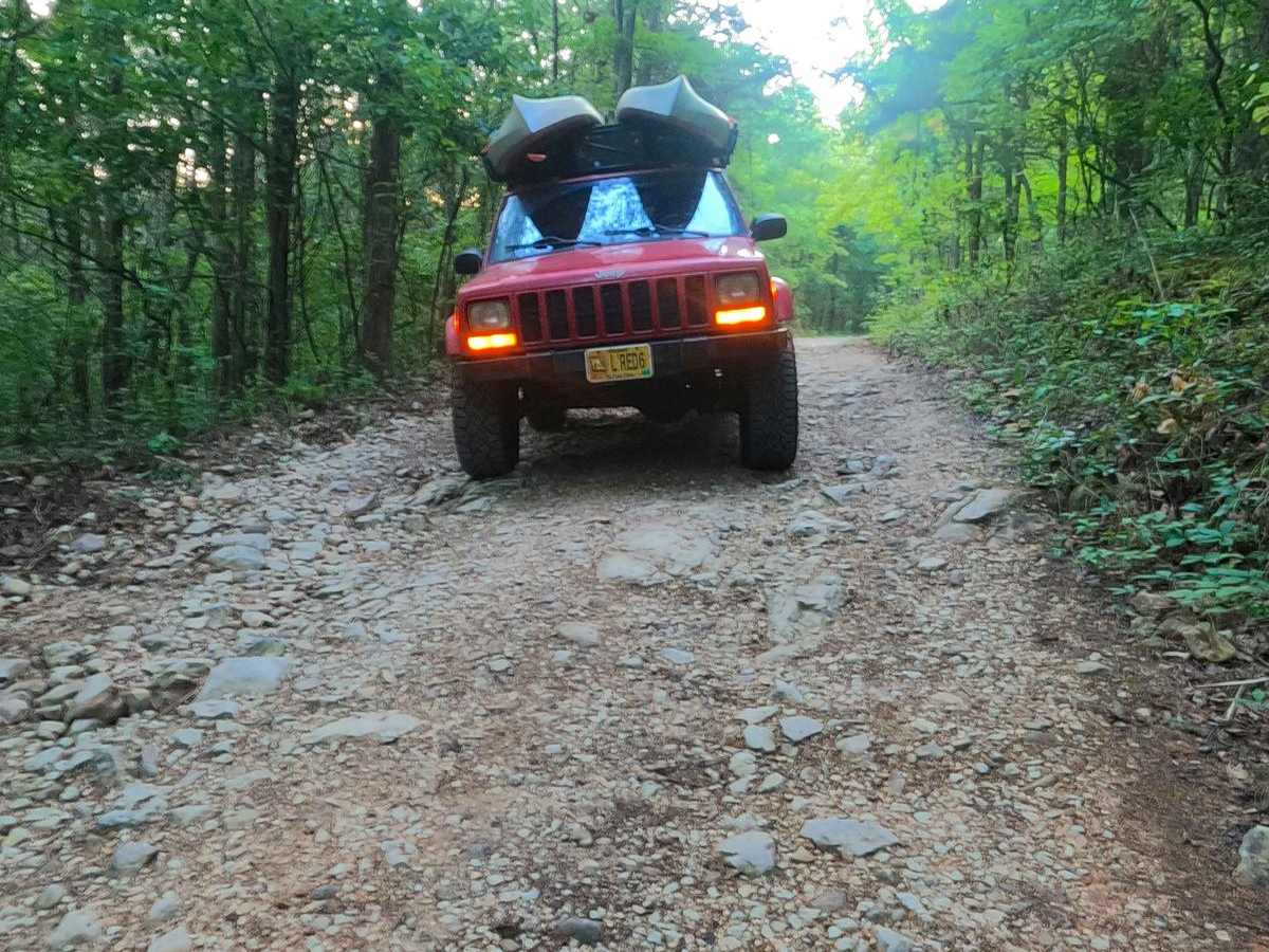
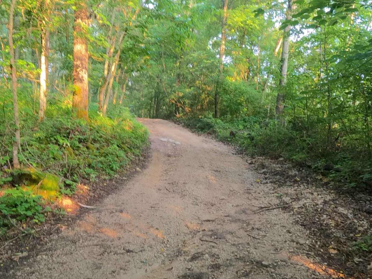
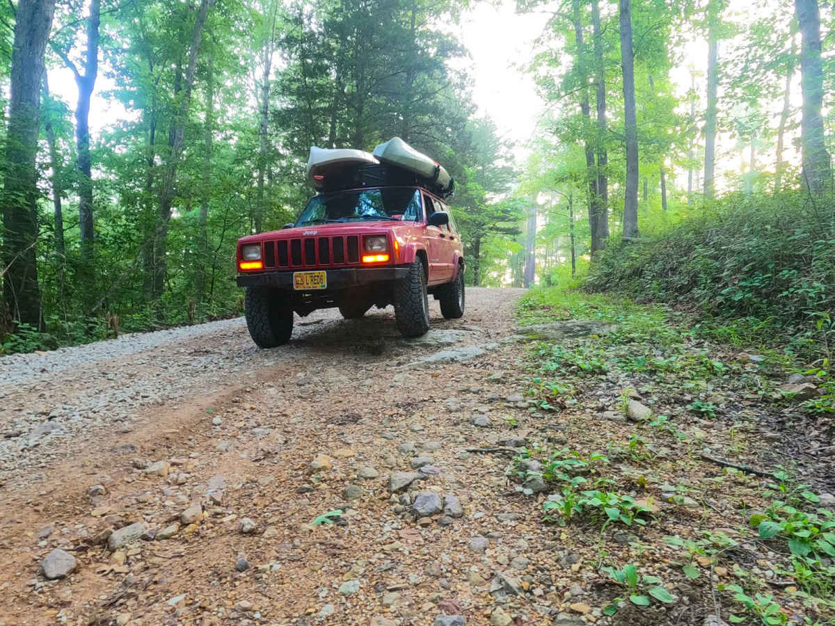
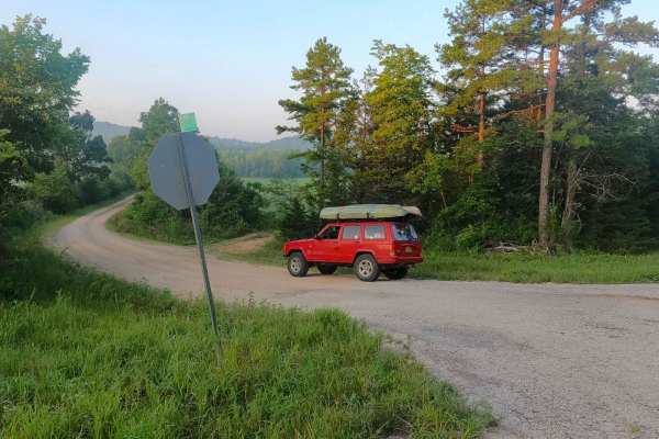
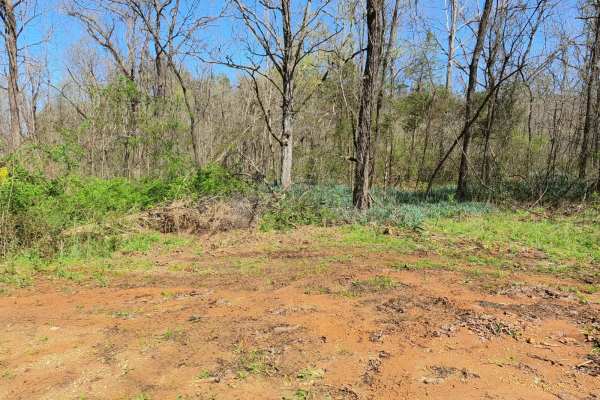
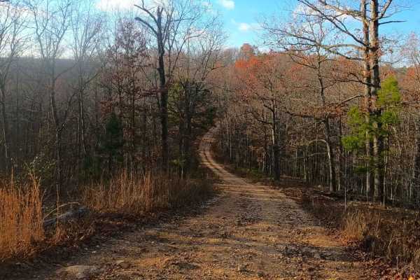
Klepzig Mill, or Shannon County Road 522, is a gravel and natural terrain trial within the Ozark National Scenic Riverway, Rocky Creek Missouri Department of Conservation Area, the Pioneer Forest, and Shannon County land. The trail features graded gravel road on both ends, but the centralized portion features natural rock sticking out at the surface, 12"+ water crossings, erosion spots on the hills, a coarse large cobble small boulder creek bottom section, and sections the surface turns to dirt with the potential to turn to surface mud. The real gem here is Klepzig Mill itself, a 1928-built grain mill along Rocky Creek, though the millhouse is considered small when compared to other mills, the placement is nothing less than scenic, being in the valley surrounded by hills full of trees, and a rock shut-in leading water to the mill. The trail also features access to the edge of many agriculture fields, here it is possible to see the Rocky Creek herd of wild horses if they are out. It is a great fun trail to enjoy, witness, and hopefully tap into that old life of the Missouri Ozarks. Be alert for horse riders, pass them slowly with care, and check the forecast and water levels to prevent encountering flood or high water scenarios on the trail.
Difficulty
Klepzig Mill is given a low demanding 4/10 base rating due to the Rocky Creek crossing just west of the mill being right at 12-18"+ deep in its average state, with large loose cobbles and coarse gravel on the creek bottom, the other two natural creek crossings are right at 12" deep to back this up. The majority of the trail falls in the 2/10 and 3/10 rating, featuring the coarse cobble/small boulder creek bottom section, which can feature rocks as large as 12", and throughout the road having natural rock sticking out of the ground, mild erosion, and potential surface mud. Note that difficulty can decrease in very dry seasons when water levels drop, but can also significantly increase due to any upstream rain, which will directly influence the depth of the crossings, especially in heavy rain and storms. Check the forecast, and approach the crossing with caution if it has rained within a week.
History
"Along Rocky Creek is a small turbine mill built by Walter Klepzig in 1928, hence its name, Klepzig Mill. Walter, the son of a Prussian-German immigrant, was a progressive thinker. He was the first in the neighborhood to introduce both barbed and woven fence wire and a refined breed of milk cow. He sawed logs into boards for his house and out-buildings and routinely saved "good boards" for use in building coffins for his neighbors. He frequently ground corn free for neighbors "on starvation," i.e. those who could ill afford to leave him the customary toll of grain. Klepzig Mill is a type of building referred to in the vernacular as a "sawmill house." It was a building type that tended to replace log construction after the arrival of sawmills in a locale. A sawmill house could be erected quickly and by only one or two people. Instead of stud-wall framing, vertical planks were nailed to a hand-hewn sill at the bottom and a sawn two-by-four plate at the top. The resulting wall panels, fabricated flat on the ground, were then raised into place. Battens might then be added to cover the seams. Foundations were often piers of uncut and unmortared native stone. Klepzig Mill is not much to look at with its various accouterments and modifications-- cement spillway, scrap metal hinge from the hood of a Model "A" Ford truck, and an old corrugated iron roof. Still, it is in a spectacular setting, surrounded by the rhyolite rock of the "shut-in" canyon made by Rocky Creek. It is a lasting testament to the hardships of everyday life in the Ozarks in a time not so long ago."Written by AlexOutlaw and sourced from Ozark National Scenic Riverways website at https://www.nps.gov/ozar/learn/historyculture/klepzig-mill.htm