Trail Overview
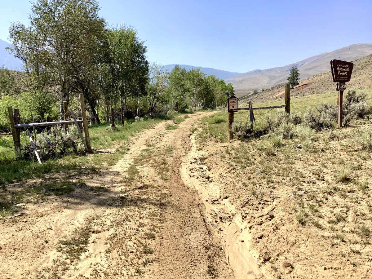
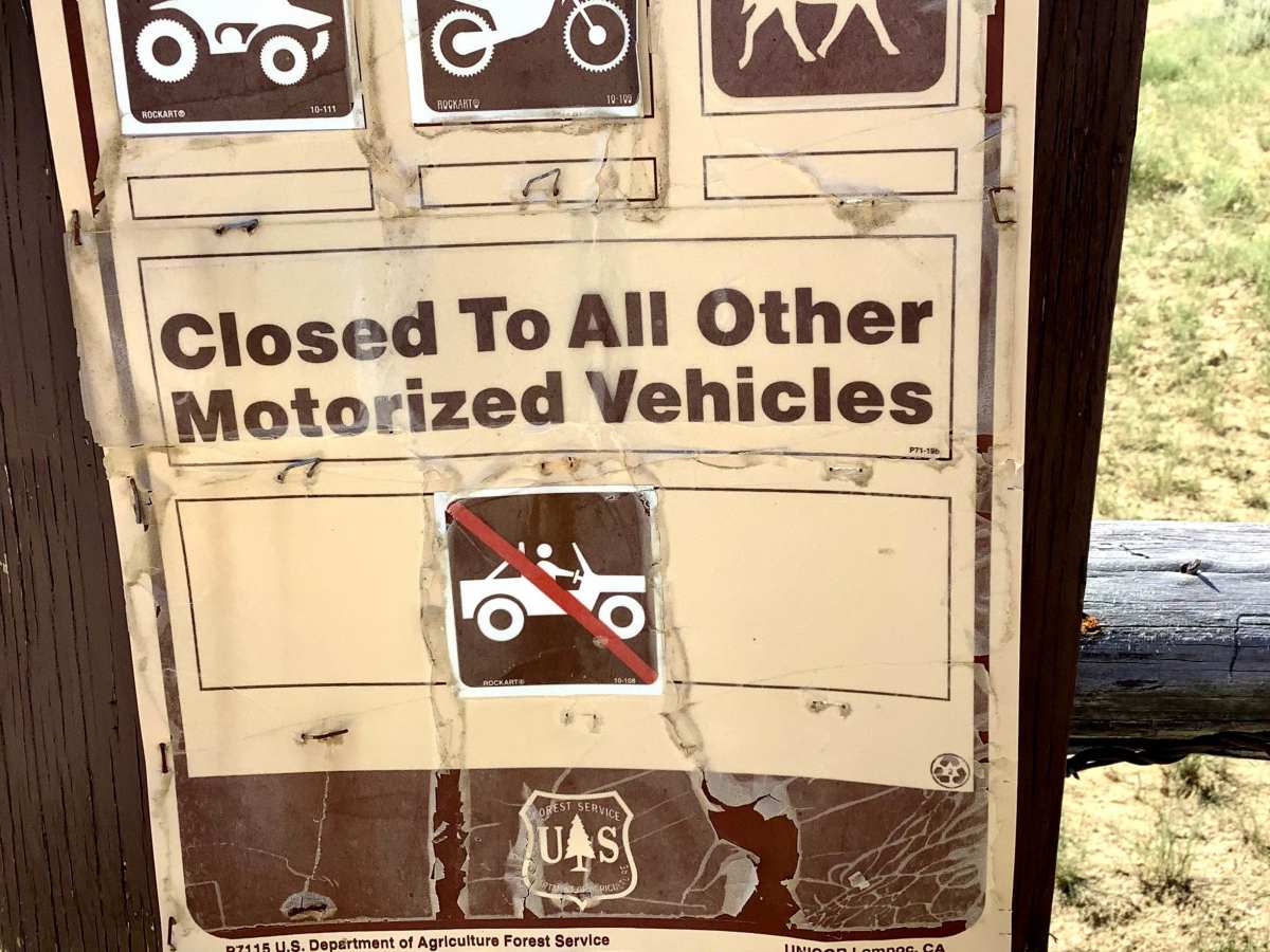
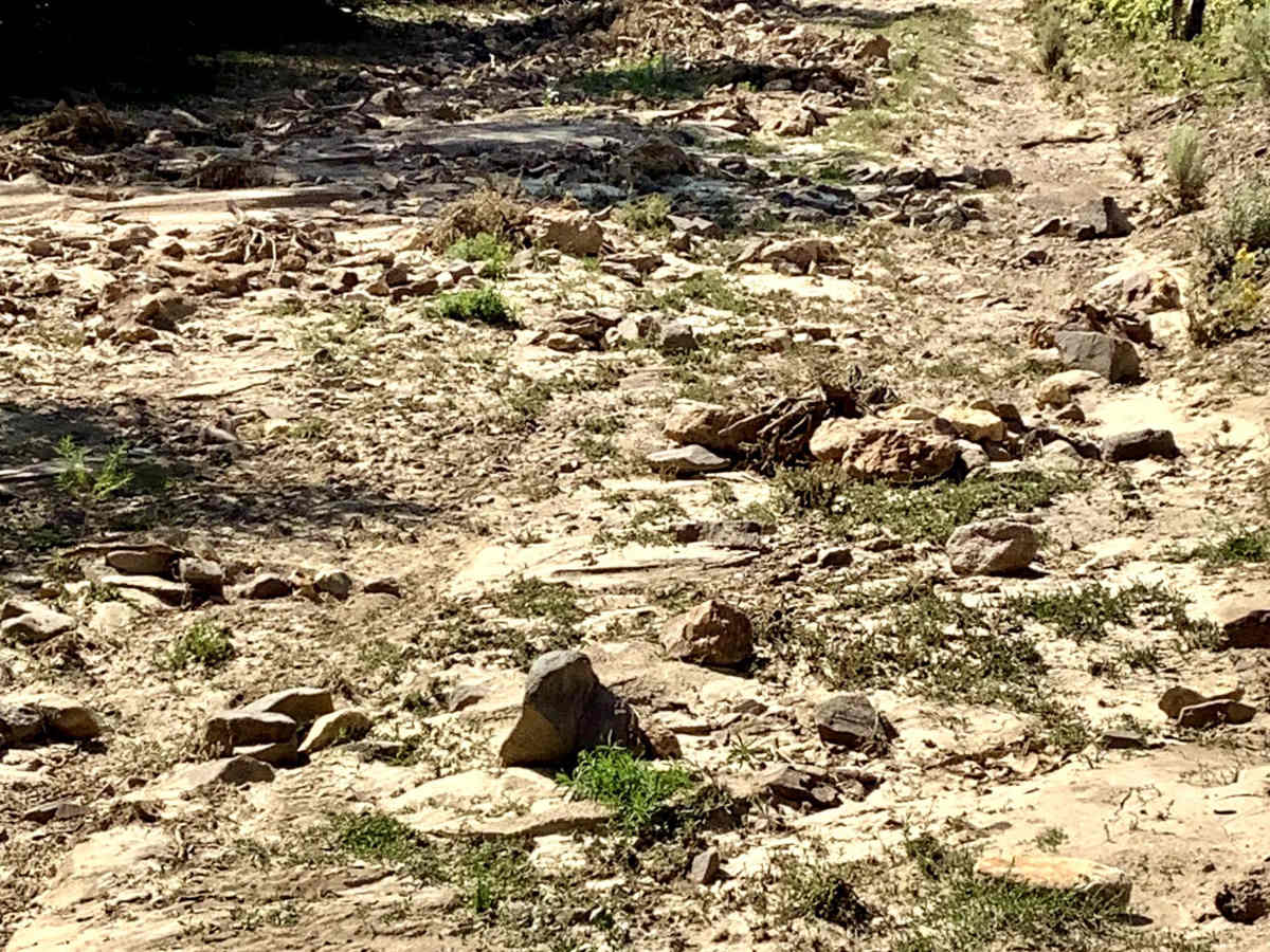
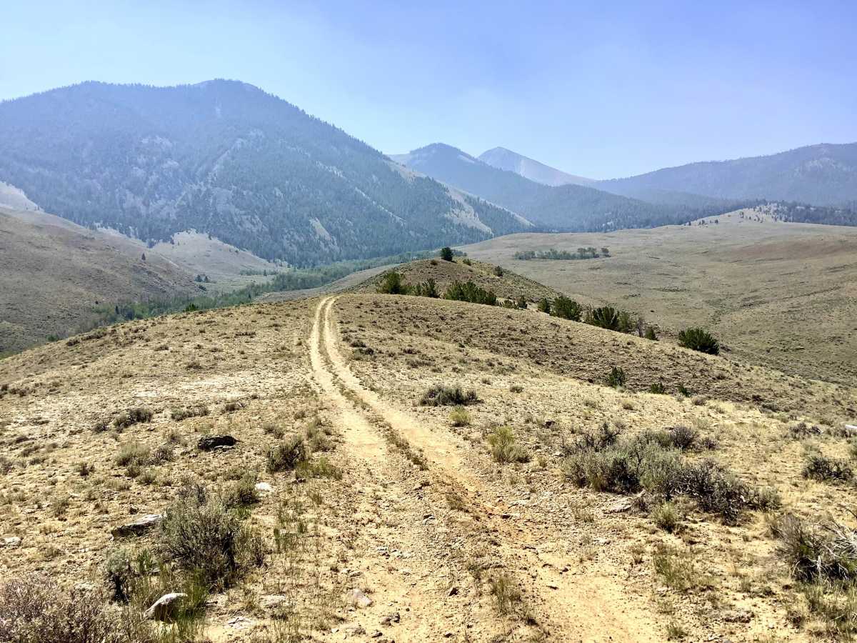
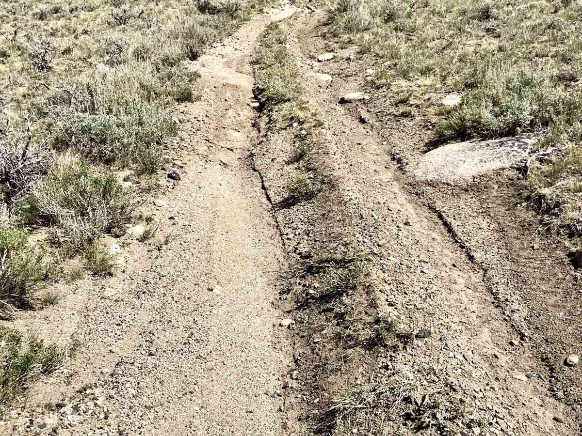
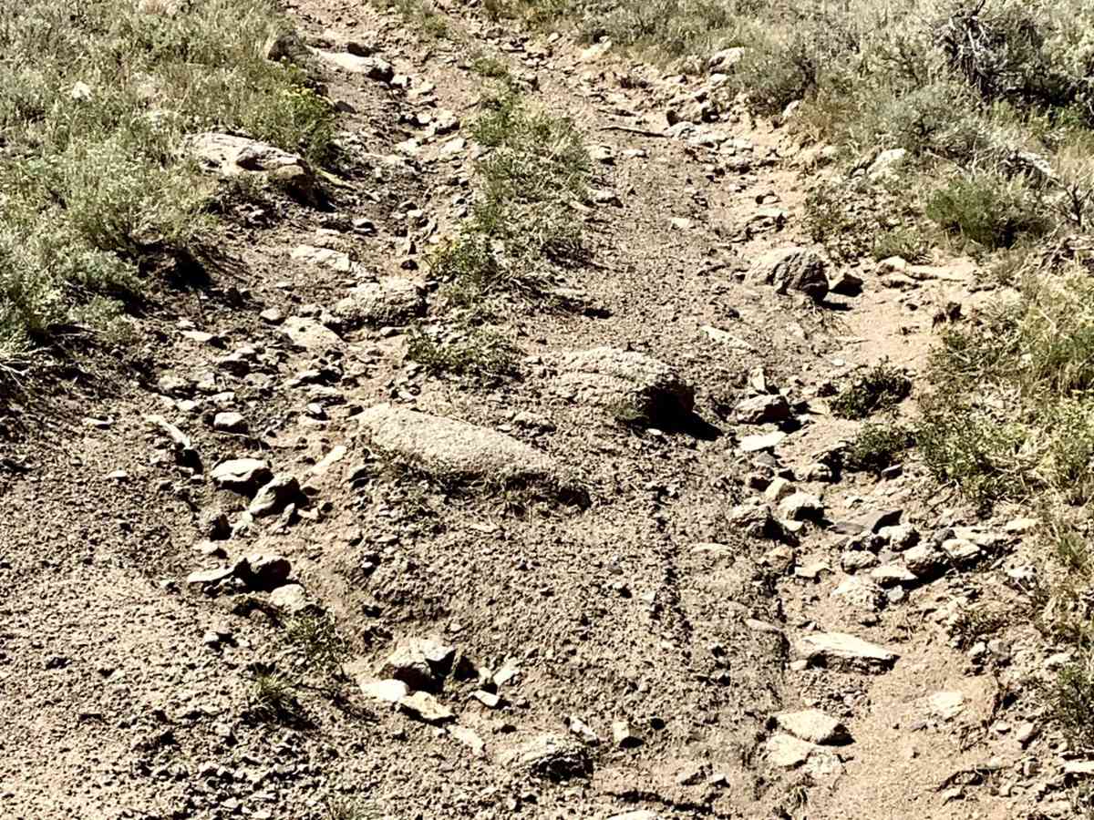
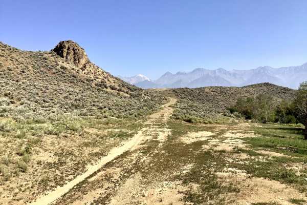
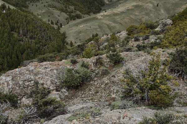
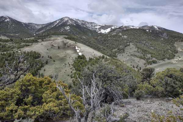
The West Fork Nvarre Creek ATV trail - FS 4200 is restricted to use by vehicles 50 inches or less in width. There are no seasonal restrictions on this trail. The lower 3/4 mile of this trail follows the creek, and there are many washouts and debris on the trail. There is also evidence of mineral prospecting in the area, with several unmarked roads that can easily lead the driver astray. Generally, this lower section of the trail is not technically challenging, but some rock dodging will be required. The next two miles of the trail climb steadily along a ridgeline. This middle section of the trail is badly eroded and passes through boulder fields. This section requires significant skill to navigate the boulders and ruts. As one gains elevation along the ridgeline, the viewscape becomes more spectacular, including panoramic views of the Big Lost River valley. After the trail transitions into the timber, there are fewer boulders, but still some rutting and a few steep grades. This trail is lightly traveled. If you like solitude and peace and quiet and don’t mind bumping over rocks, this is a good opportunity.