Fish Hatchery Access

Total Miles7.2
Technical Rating
1Easy
Best TimeSpring, Summer, Fall, Winter
Trail TypeFull-Width Road
Accessible By
Open Trail Map

Trail Overview

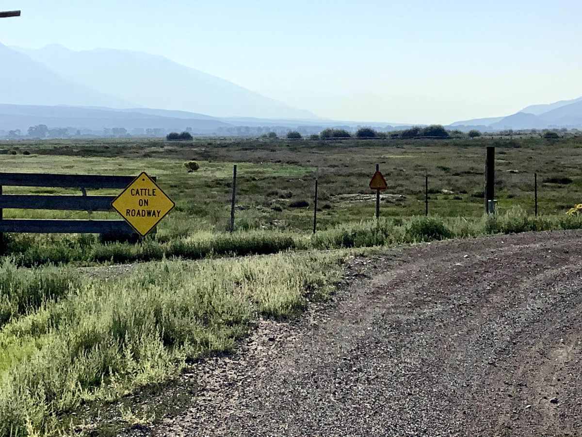
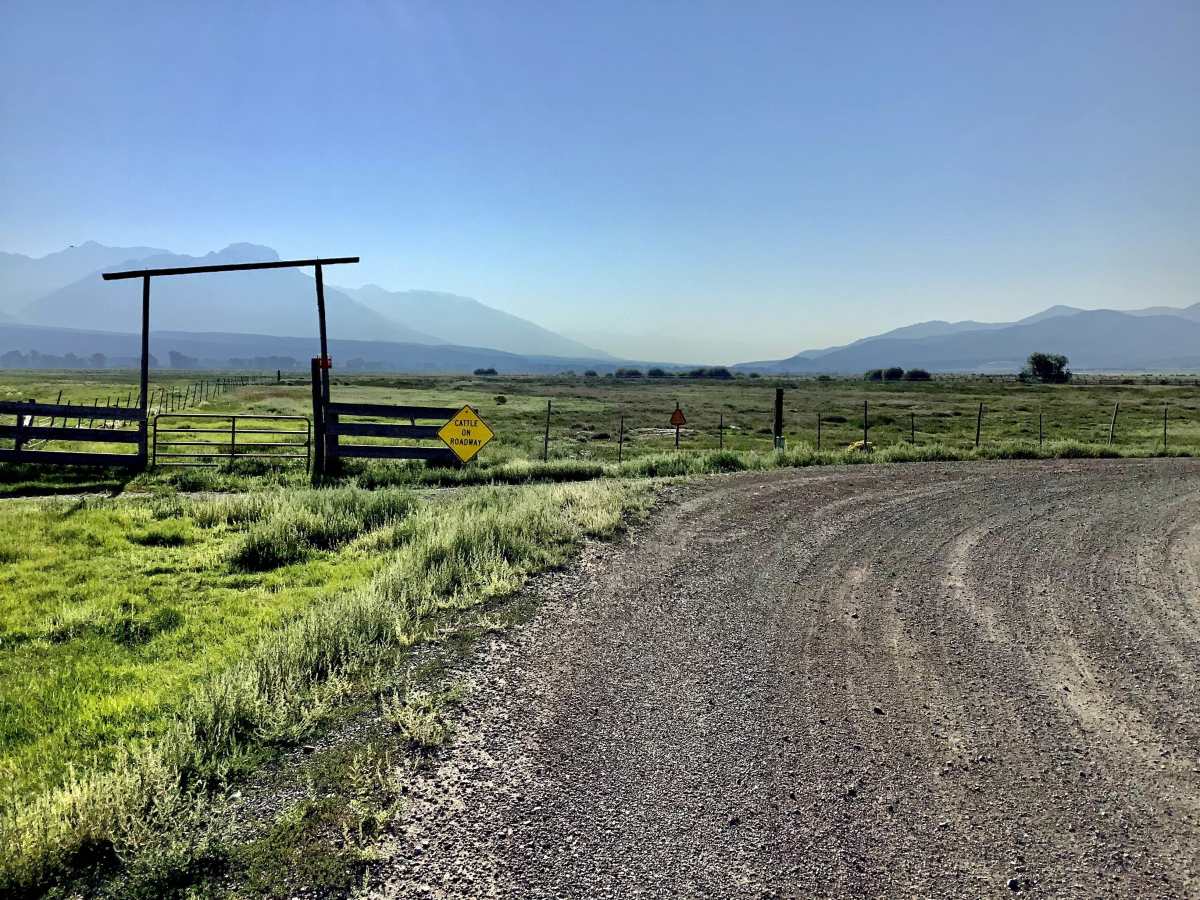
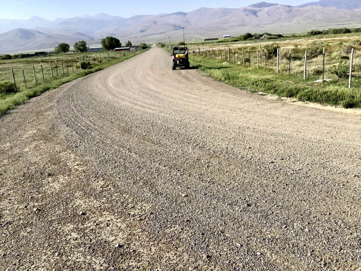
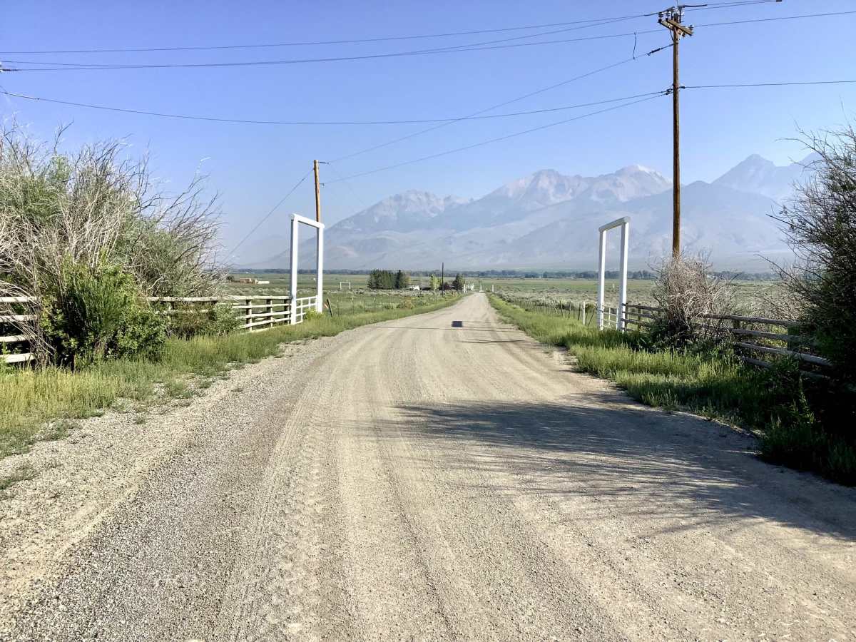
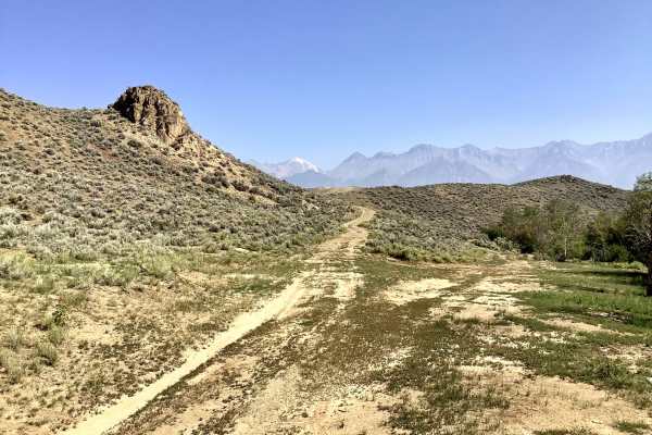
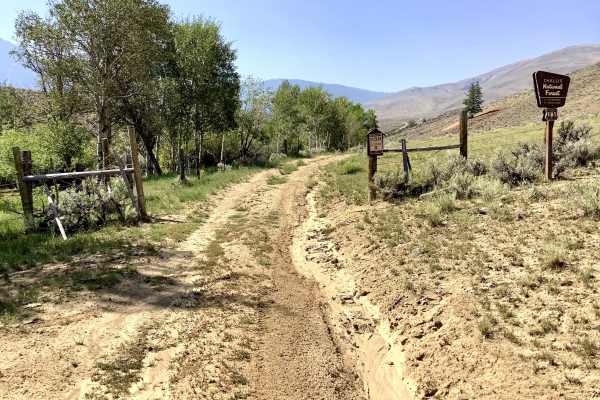
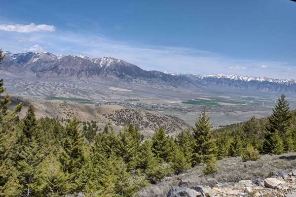
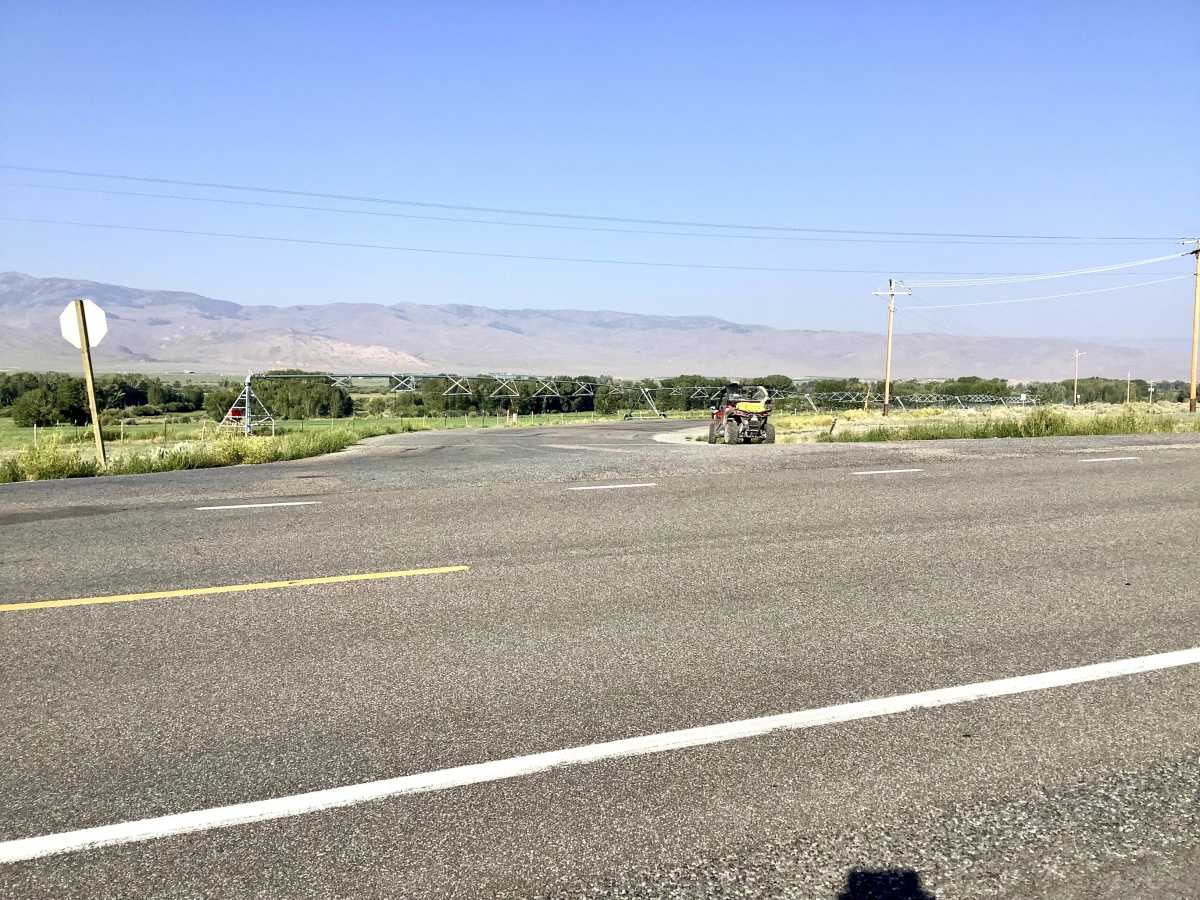
There are a variety of attractive off-highway opportunities in the White Knob Mountains southwest of the town of Mackay and the Mackay Reservoir. Unfortunately, access to some of these areas is complicated by the need to pass through a virtual maze of county, BLM, and FS roads. This route is intended to guide OHV users who wish to access the Burma Road - FS 142 or the Navarre Creek Road - FS 143 or any other of dozens of opportunities that take off from those roads. The roads included in this route are well-graveled and maintained two-lane roads passing through beautiful farm and ranch country. The Hatchery Creek Road itself is actually paved for a short distance.

Photos of Fish Hatchery Access

Difficulty

This is a pleasant drive through farm and ranch country on well maintained roads.

Technical Rating

1

Fish Hatchery Access Trail can be accessed by the following ride types:

  • Single Track
  • 50 Inch
  • 60 Inch
  • High Clearance
  • Full Width

Fish Hatchery Access Map

The onX Offroad Difference

onX Offroad combines trail photos, descriptions, difficulty ratings, width restrictions, seasonality, and more in a user-friendly interface. Available on all devices, with offline access and full compatibility with CarPlay and Android Auto. Discover what you're missing today!

Open Trail Map