Trail Overview
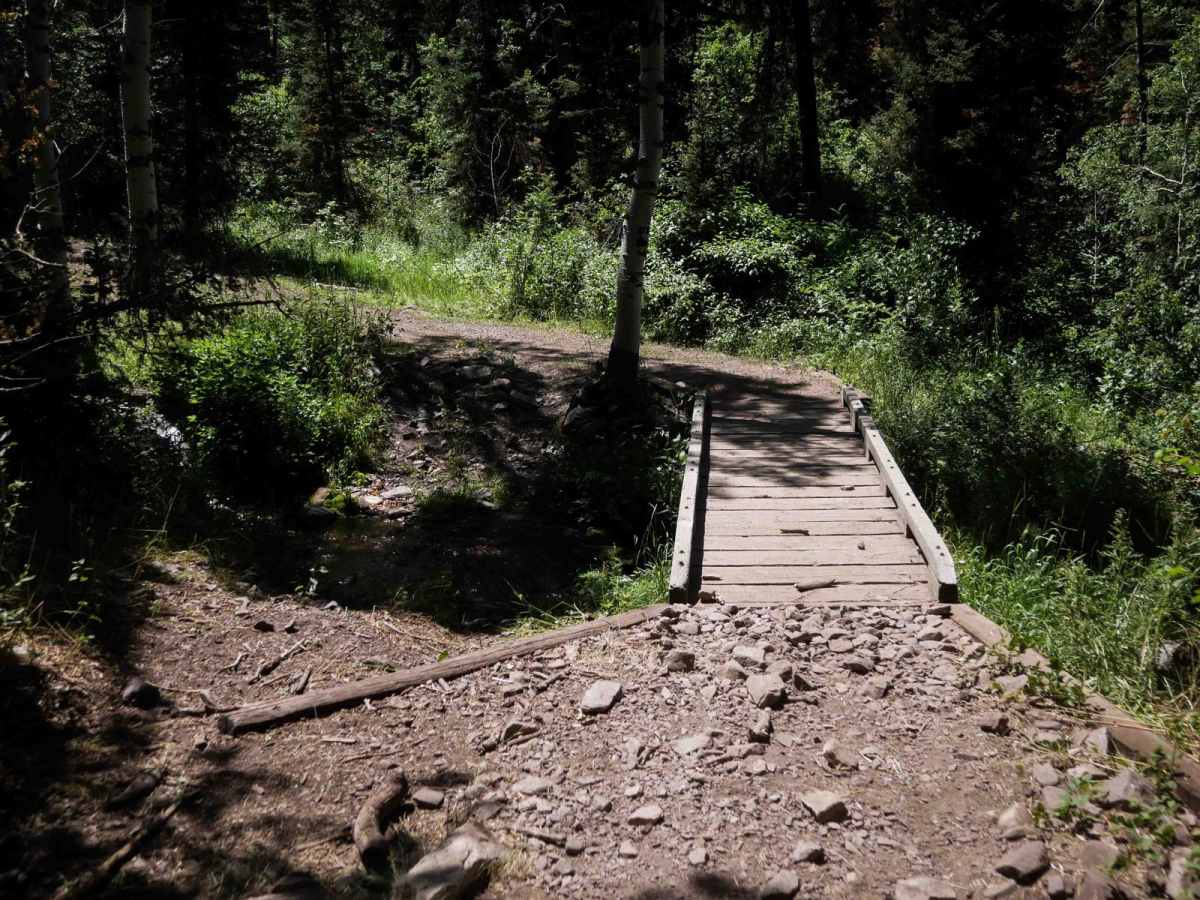
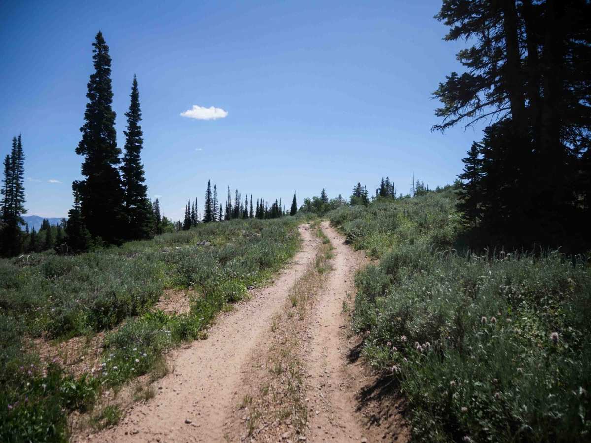
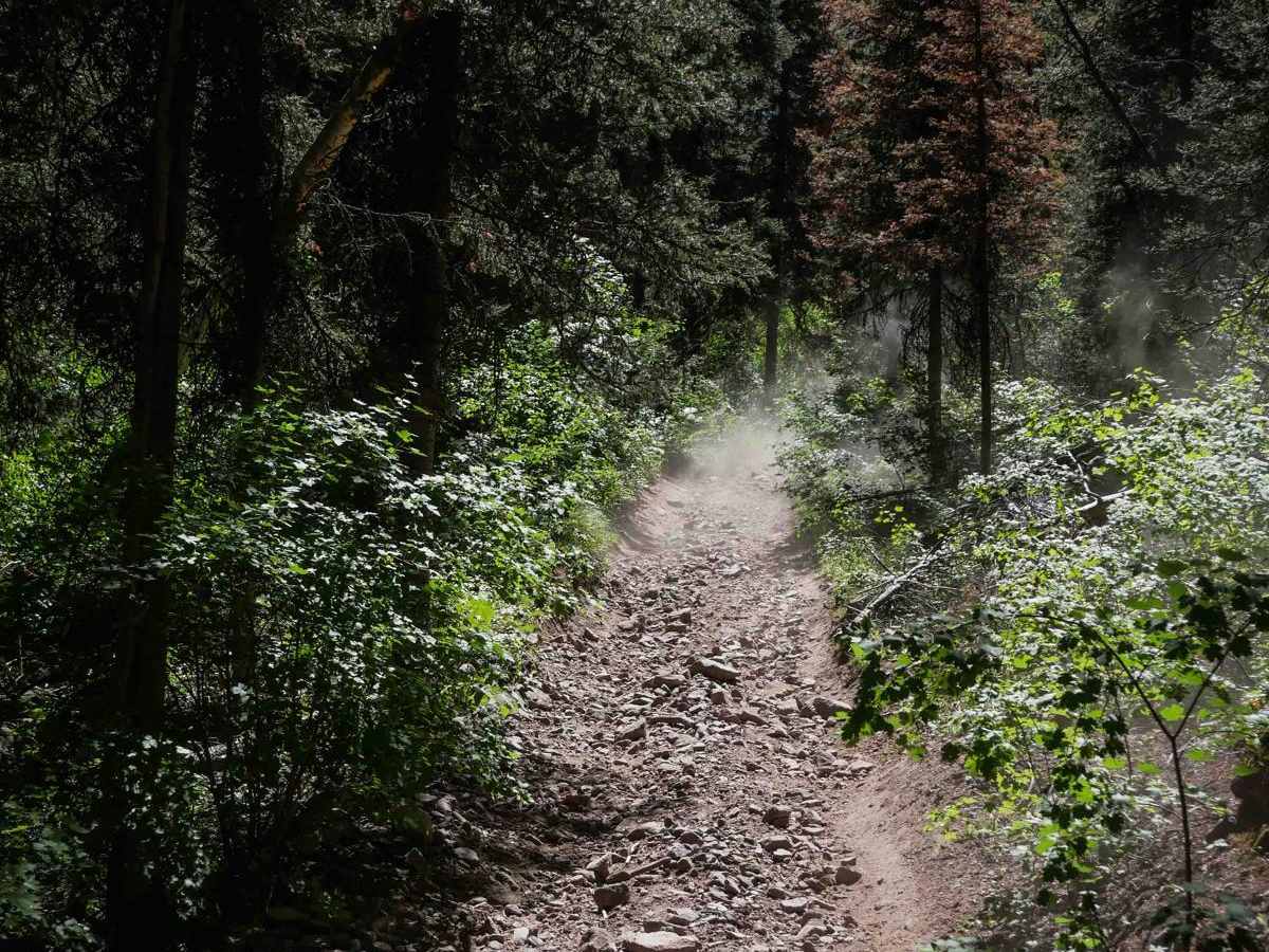
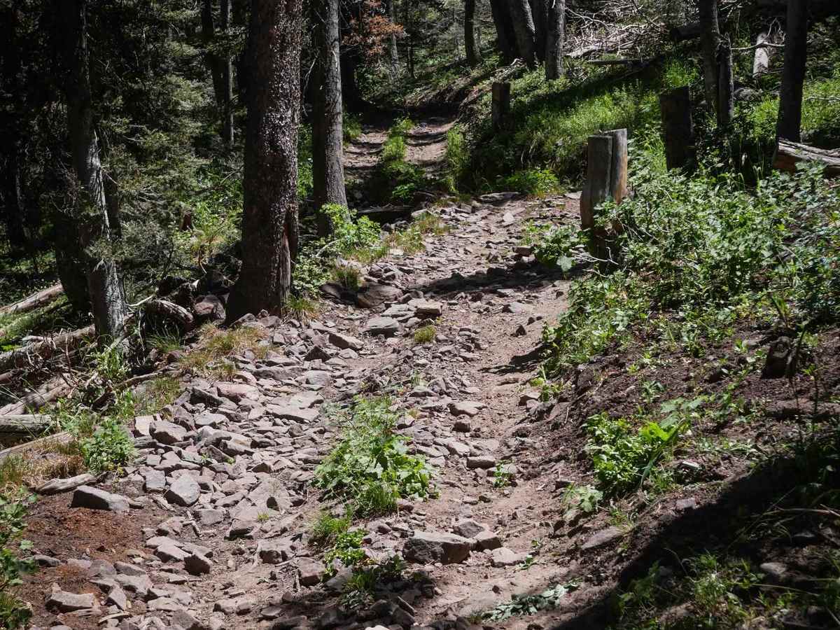
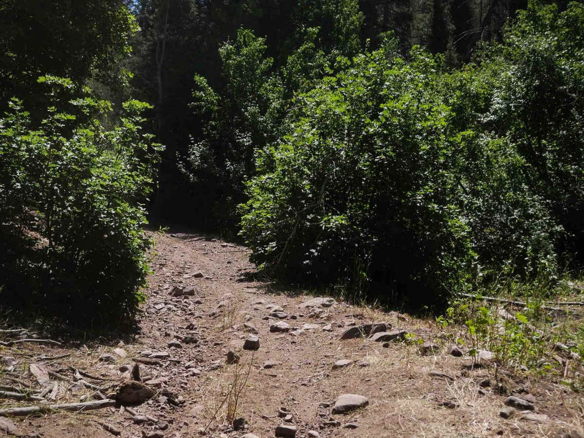
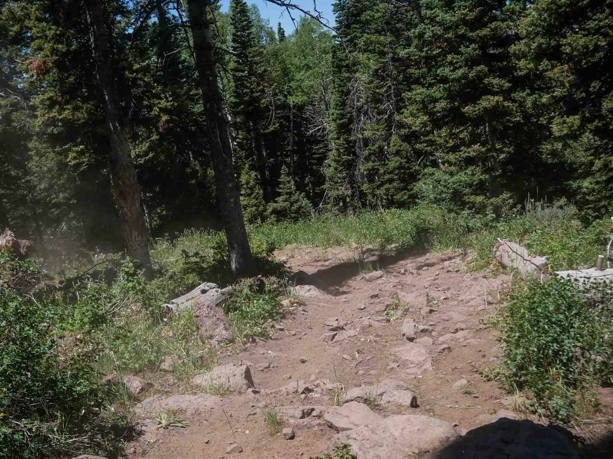
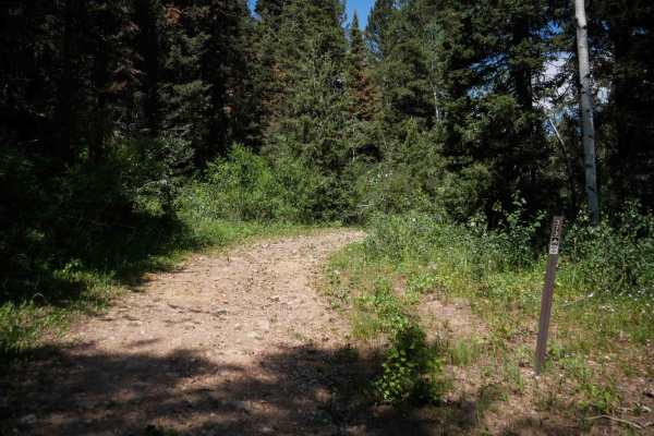
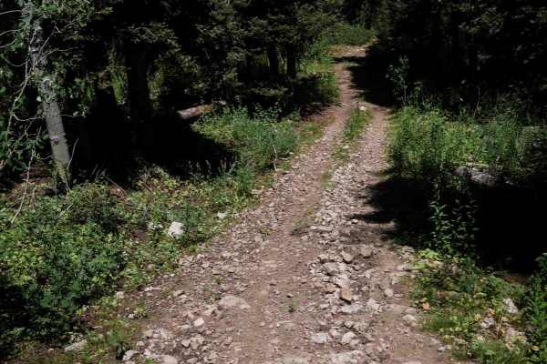
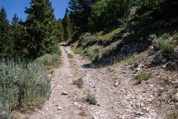
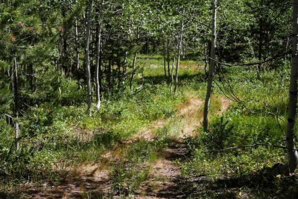
Sherman Peak #3317 is a 4.6-mile-long ATV trail in Caribou National Forest that climbs steadily from its north end near Eightmile Road to a hilltop junction with Trail #3446 before continuing south to Skinner Canyon Road. The trail begins as a wide and easy path with a bridge crossing, paralleling a creek and passing through a section of moist, occasionally muddy terrain with embedded rock, loose debris, and larger rocks scattered across the surface. As it climbs, the trail becomes more challenging with continuous steep grades and loose rock, especially on tight curves. After passing the junction with Trail #3446, the trail includes more rocky climbs and several wide, but rocky hairpin turns. The final segment descends steeply to the southern trail entrance at Skinner Canyon Road. While not overly challenging, still expect typical moderate features throughout the route, such as shelfy sections of trail, rocks, roots, ruts, and steep grades.
Difficulty
This is an intermediate trail due to the sustained climbing and descents, and frequent loose rocky sections. While the switchbacks are not too steep, they are still rocky and will challenge newer riders.