Trail Overview
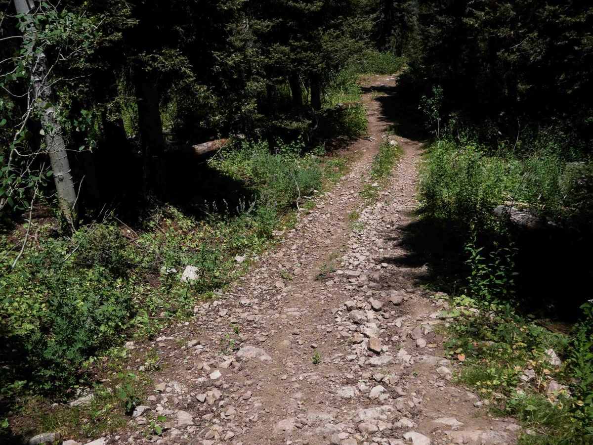
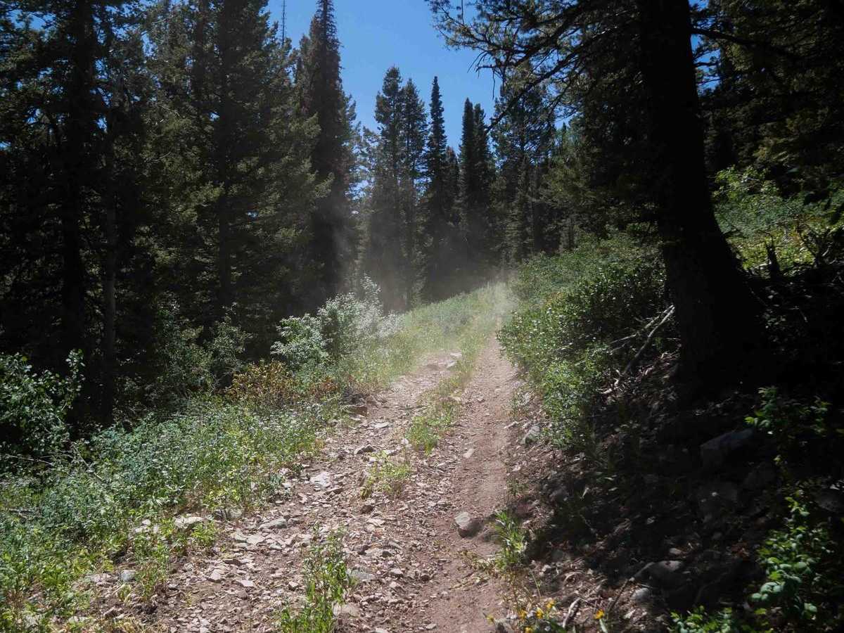
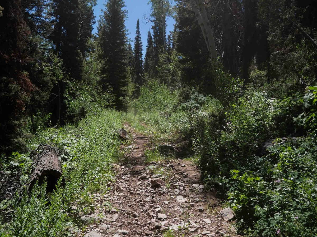
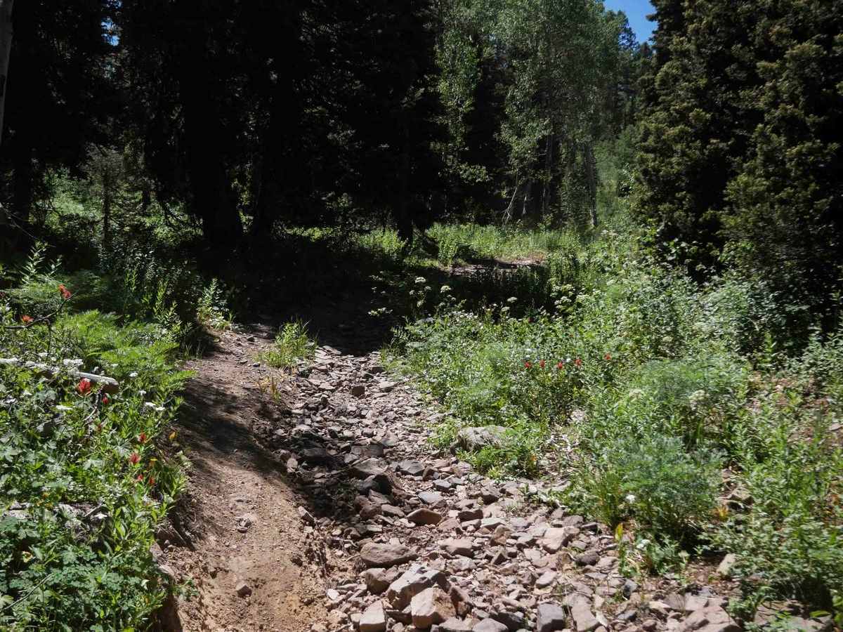
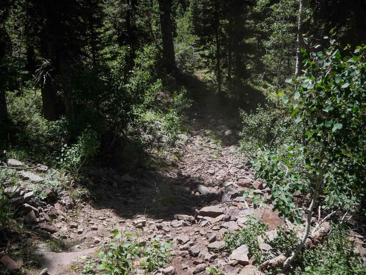
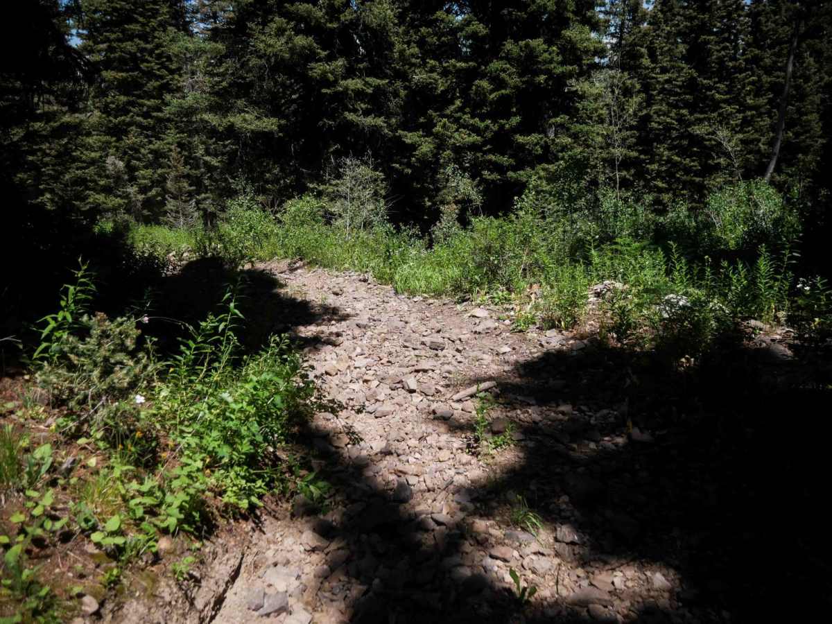
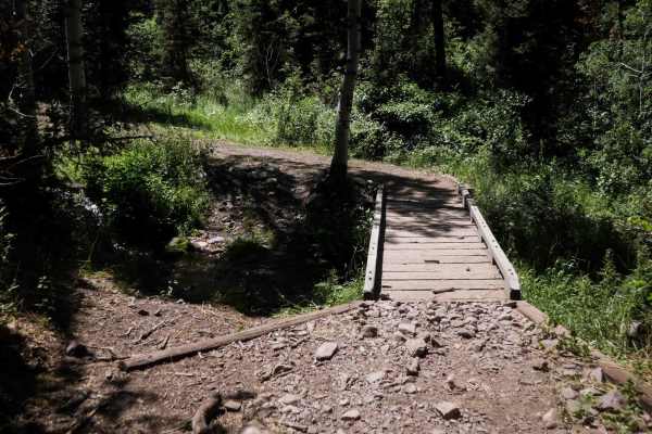
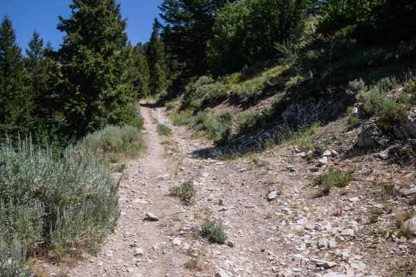
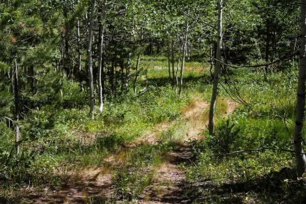
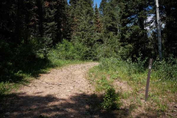
Eightmile #3446 is a 2.8-mile-long intermediate ATV trail that climbs steadily from its intersection with Trail #3317 up to a hilltop before descending down the opposite side. The uphill portion features a long, shelfy ascent with dry, dusty soil, scattered small loose rocks, and larger embedded rocks that add some technicality. After reaching the top, the trail becomes a steep descent marked by frequent curves, shallow ruts, and a loose, rocky surface. Sections of the downhill are covered in bigger loose rocks that you have to ride over as well. It climbs about 650 feet in elevation on the way up, then loses almost 1,600 feet in elevation on the way down. While there are no major obstacles, the combination of steep grades and loose terrain increases the challenge, particularly on the descent, and will be even more difficult in the reverse direction to maintain momentum and traction up the climb.
Difficulty
This is an intermediate trail due to the sustained climb, steep descent, and frequent loose rock throughout. The loose downhill sections with curves and shallow ruts are particularly challenging for less experienced riders.