Prairie Dog Lane

Total Miles3.7
Technical Rating
3Easy
Best TimeFall, Summer
Trail Type60" Trail
Accessible By
Open Trail Map

Trail Overview

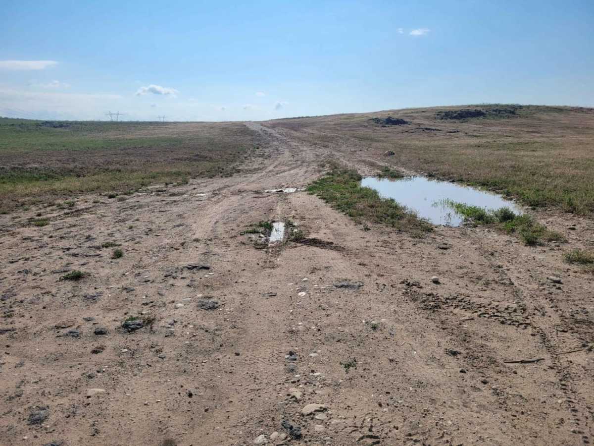
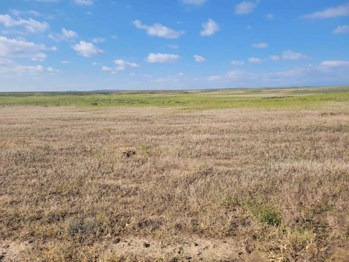
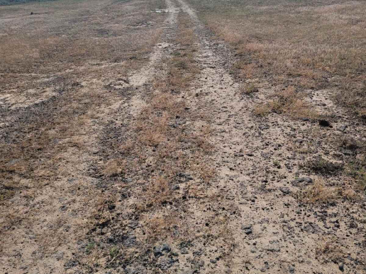
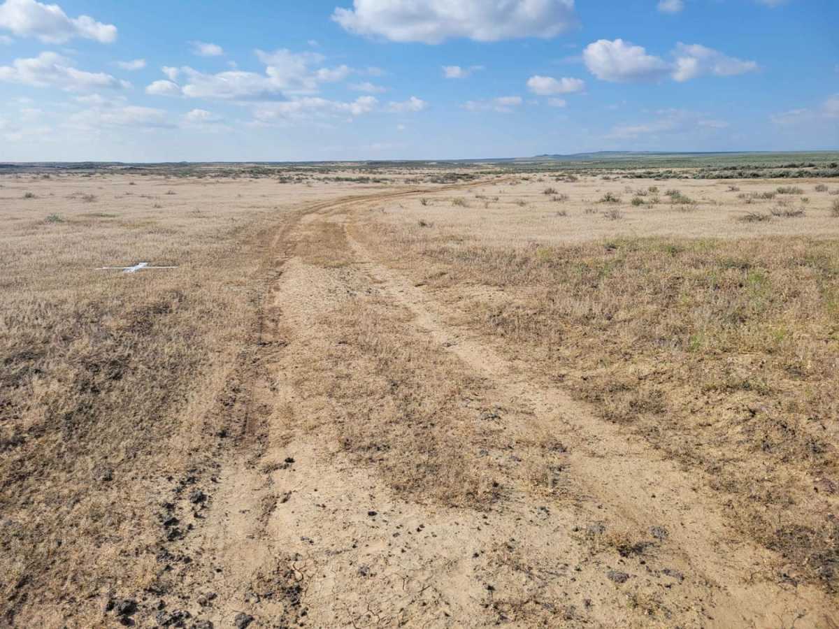
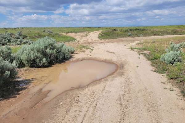
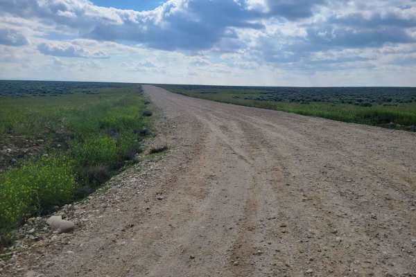
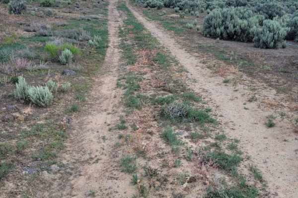
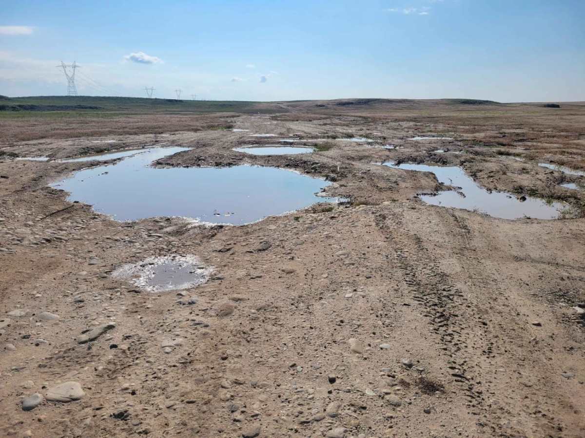
Prairie Dog Lane is a 3.7-mile off-road trail on BLM land southwest of Boise, Idaho, connecting South Pleasant Valley Road to Standifer Road. Climbing gently from 2,930 feet to 3,059 feet, the route offers wide-open desert views across a network of desert tracks. The terrain features uneven, rutted dirt, sandy washes, rocky patches, and obstacles up to 12 inches. High-clearance four-wheel-drive or capable all-wheel-drive vehicles can easily navigate the trail, though wet weather can quickly create deep mud holes and water crossings.

Photos of Prairie Dog Lane

Difficulty

Uneven, rutted dirt trail with potential for loose rocks and sandy washes. Water crossings less than a foot deep. Potential for mud holes and trail obstacles up to 12", including ledges and short, steep grades.

Technical Rating

3

Prairie Dog Lane Trail can be accessed by the following ride types:

  • Single Track
  • 50 Inch
  • 60 Inch

Access Description

Located on BLM land. No fees or permits are required for day use, but travelers should exercise caution during wet weather as the trail can become muddy and impassable.

Prairie Dog Lane Map

The onX Offroad Difference

onX Offroad combines trail photos, descriptions, difficulty ratings, width restrictions, seasonality, and more in a user-friendly interface. Available on all devices, with offline access and full compatibility with CarPlay and Android Auto. Discover what you're missing today!

Open Trail Map