Trail Overview
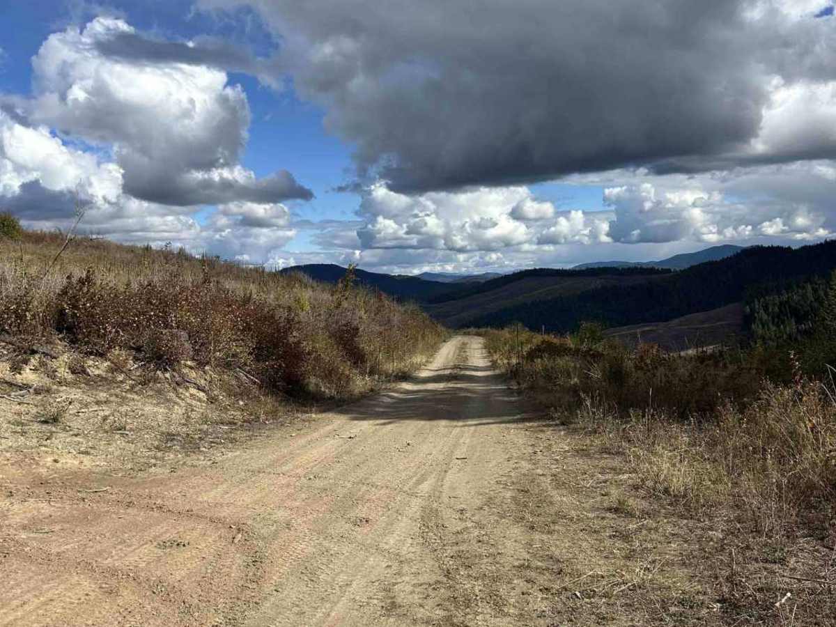
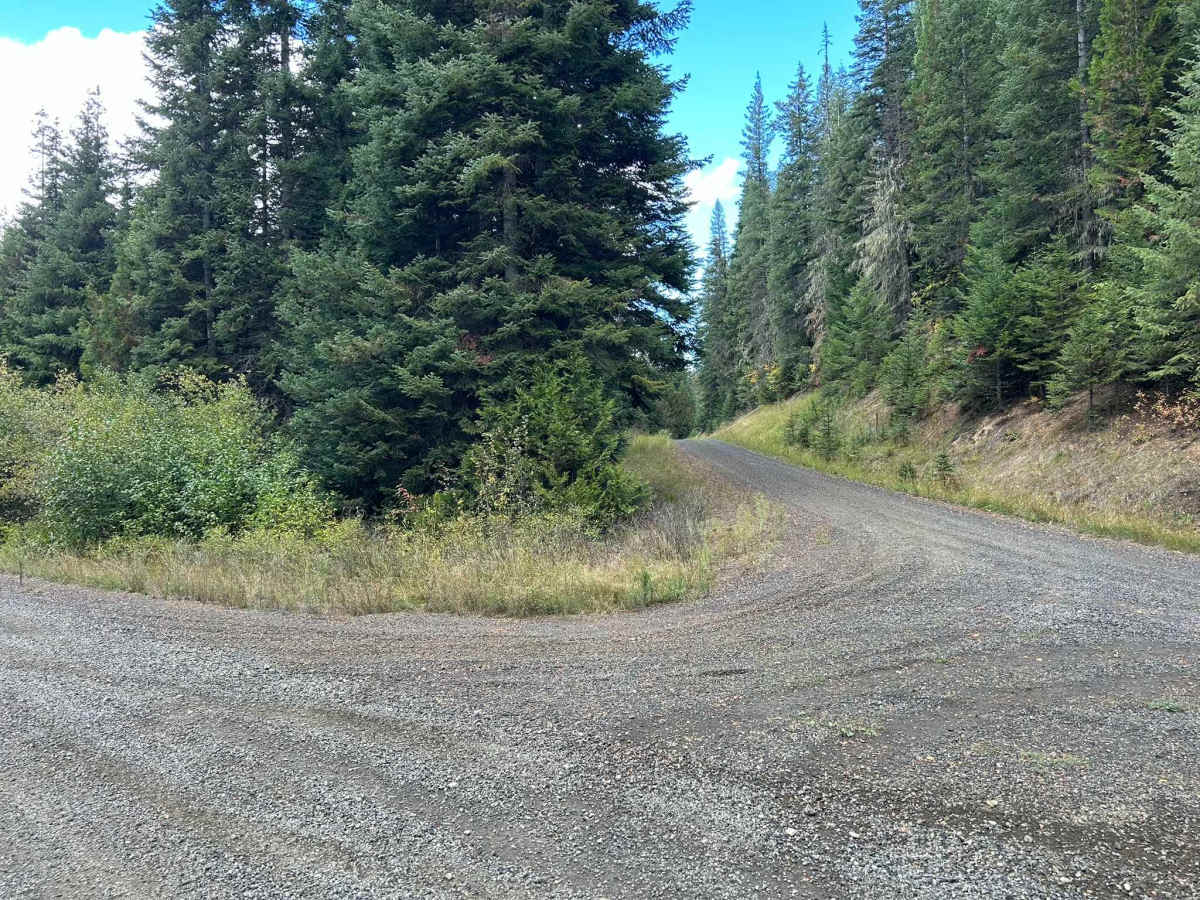
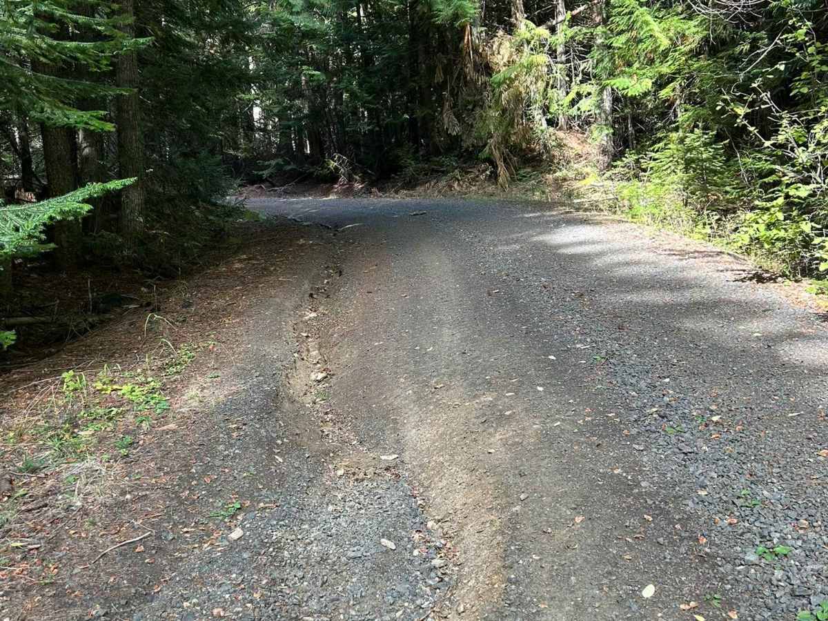
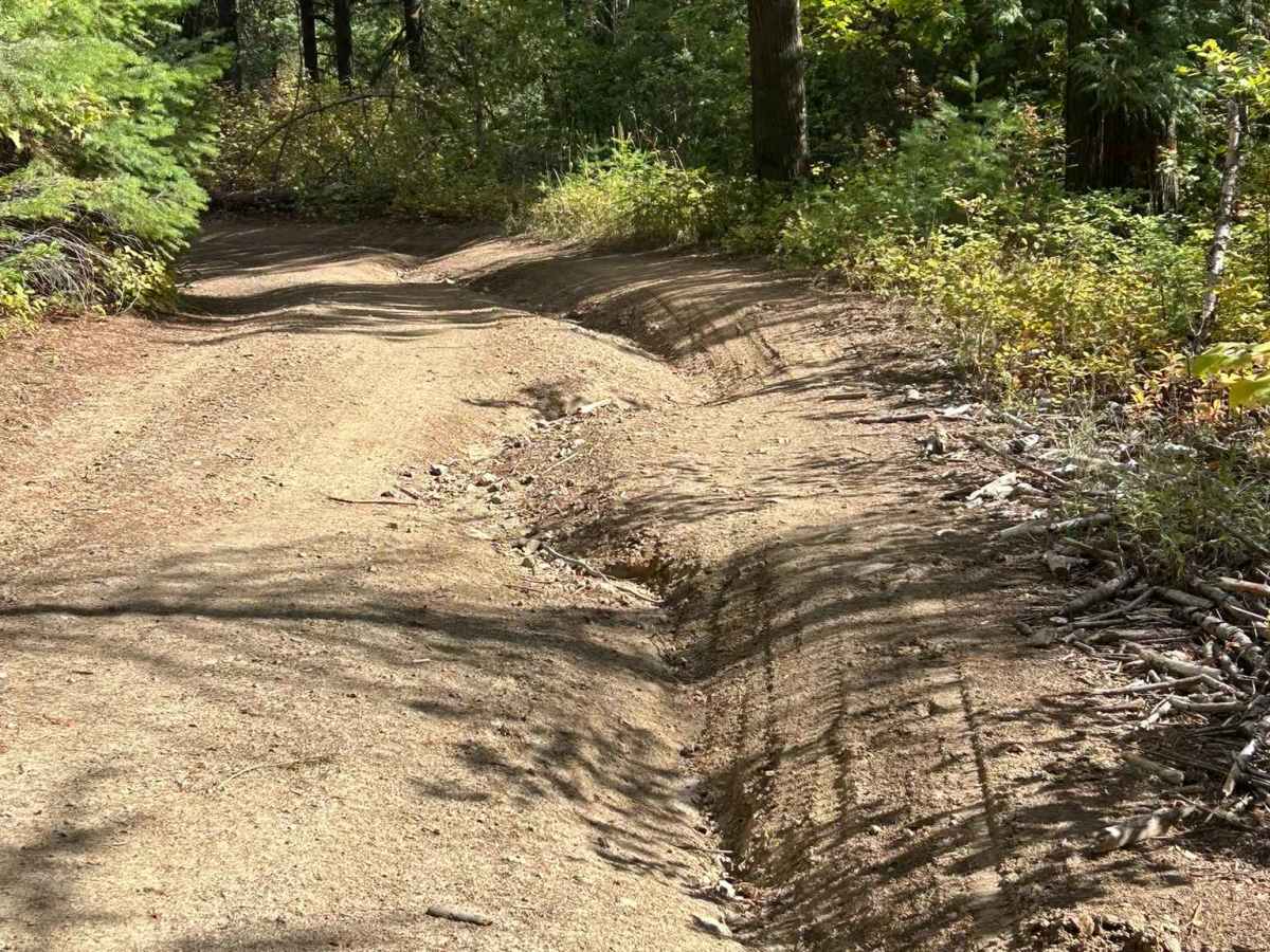
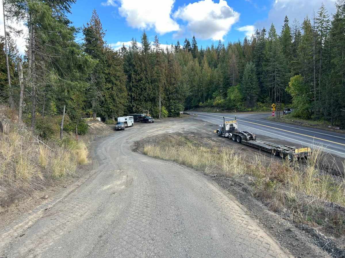
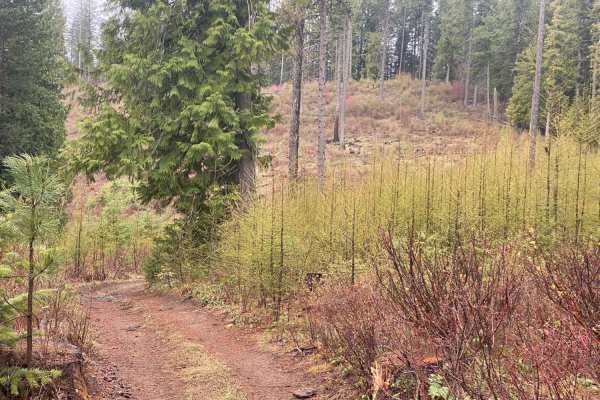
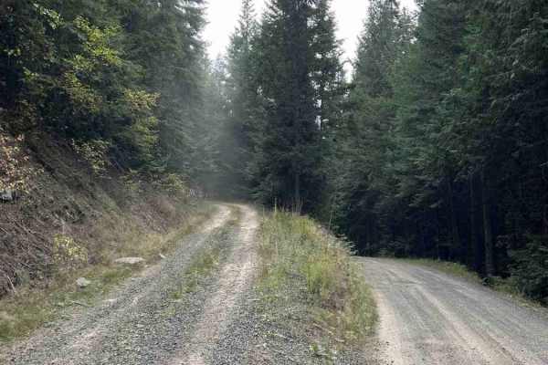
Palouse Divide West (FS 377) is a 15.3 point-to-point trail that, when starting from the west side, begins at the end of Big Creek Road. It winds down into the backside of Prospect Peak into a valley and continues along Meadow Creek for several miles before making a sharp left shown in the second picture. After turning left, Palouse Divide climbs out of the valley and up towards West Dennis. Note that from 9 to 9.3 miles, Palouse Divide passes through private property. The boundaries are well-marked and can also be viewed using the private property layer on OnX. Starting at this section of private property and for several miles after, the road is heavily rutted and damaged by heavy logging equipment. As of October 2025, there is active logging along the trail. After passing out of the active logging area, the road surface becomes gravel, wide, and well-maintained until it ends at an intersection with Idaho Highway 6. Palouse Divide West is open from April 1st to December 1st.
Difficulty
This trail contains several heavily rutted areas and sections damaged by logging equipment around Mile 9. As of October 2025, it has been graded, but the surface remains soft and very slick when wet. In North Idaho, trail conditions can change rapidly with snow, and carrying a chainsaw or other tools to remove fallen trees is strongly advised.
History
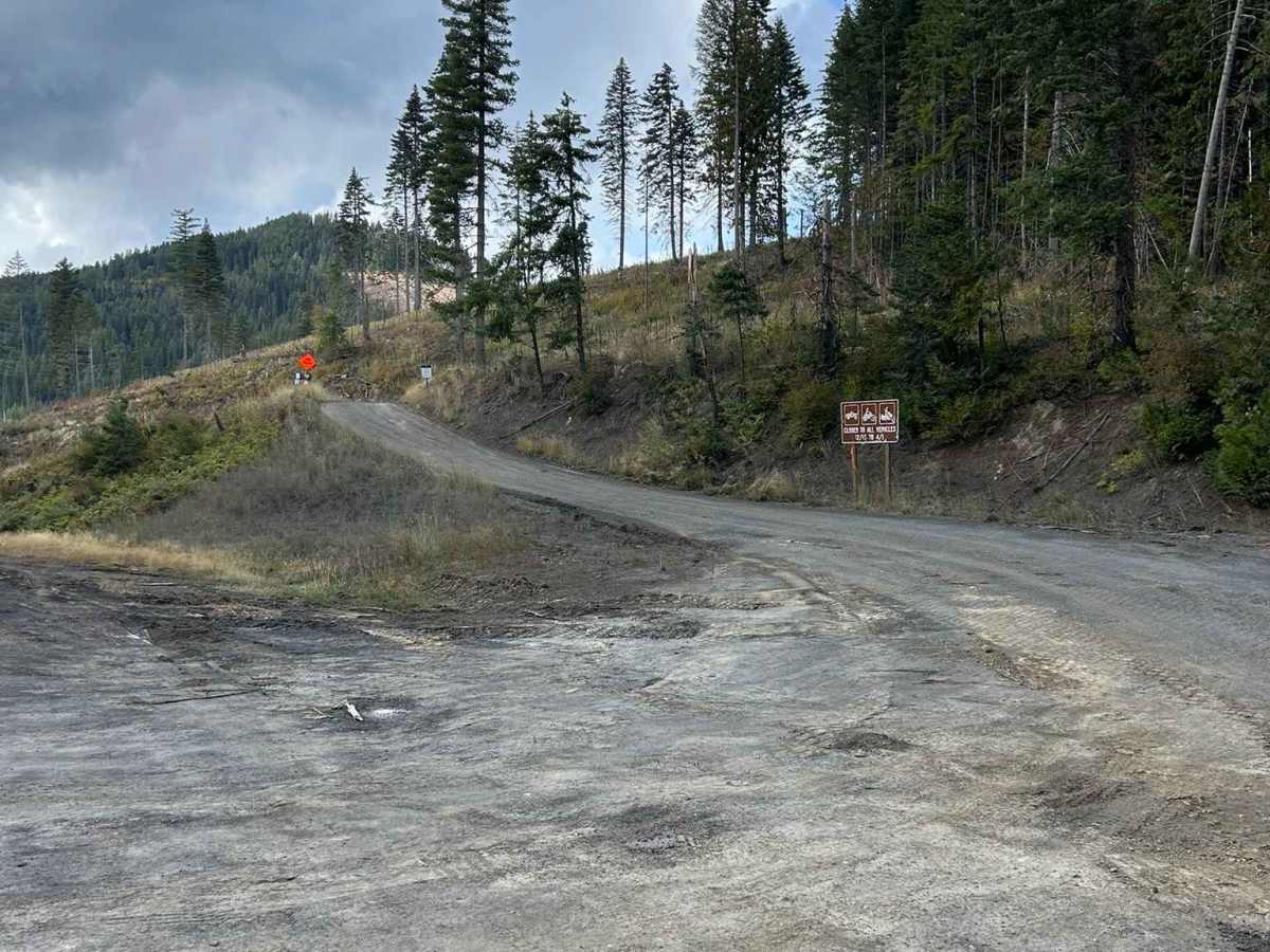
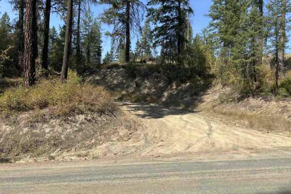
The original route for Palouse Divide is shown as making a left at Mile 4.4. The road is closed at this point, but can be bypassed by following the route for this trail by making a left turn at Mile 5.