Trail Overview
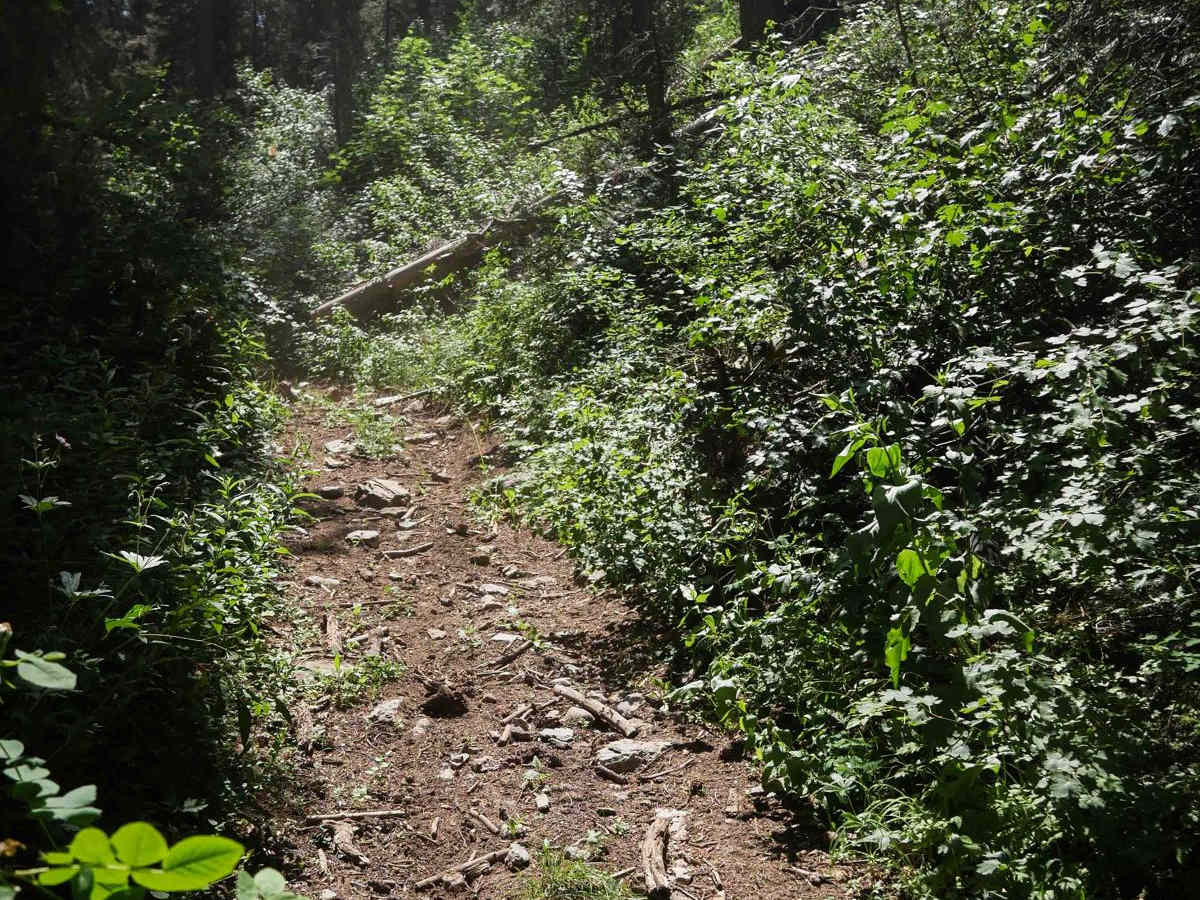
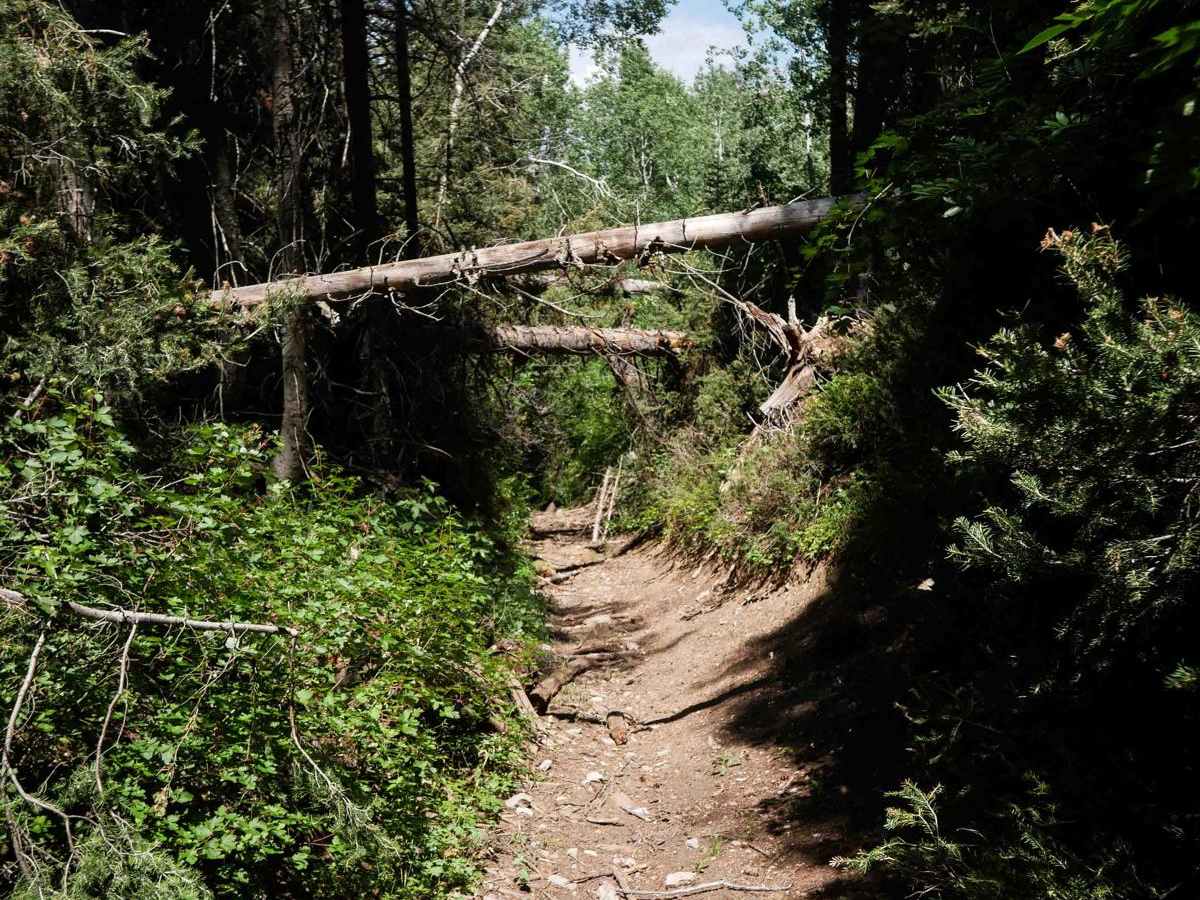
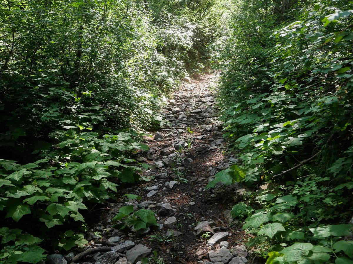
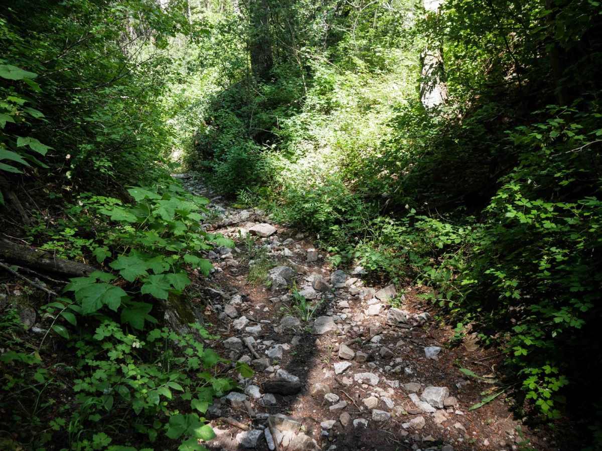
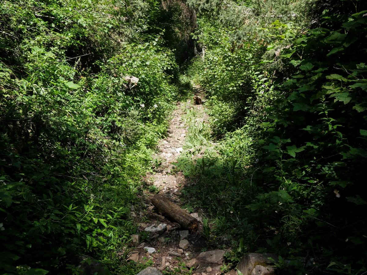
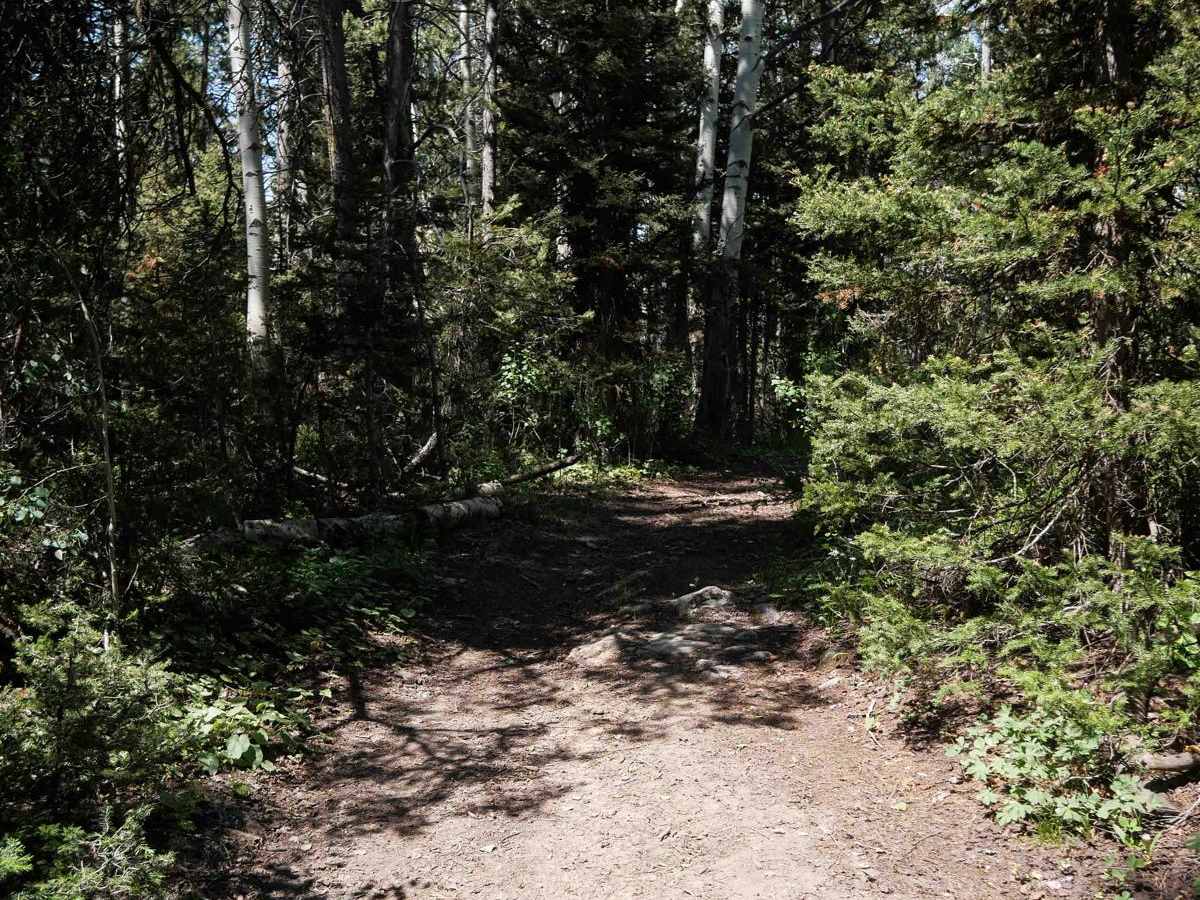
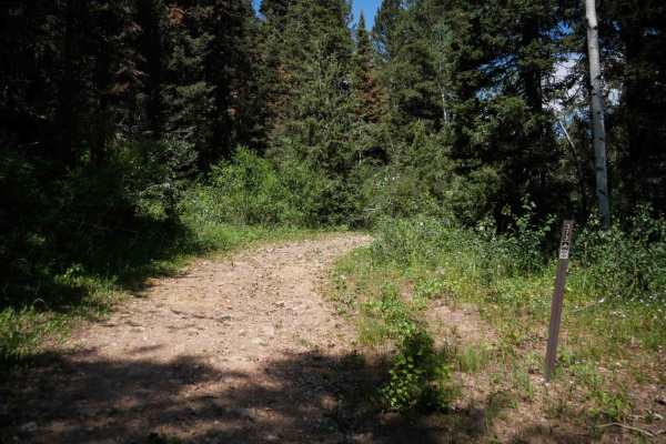
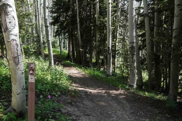
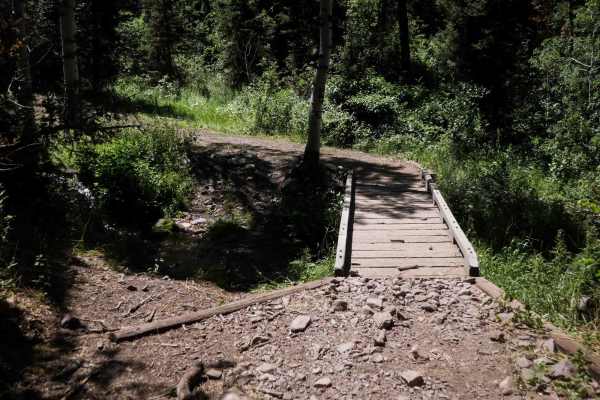
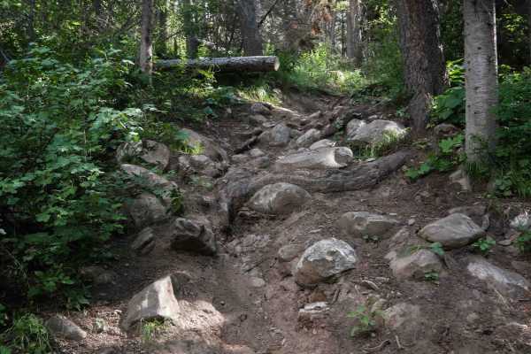
Cheatbeck #3350 is a 1.5-mile-long ATV trail that begins on the east side as a wide path through a pine forest corridor with shallow ruts, scattered stick debris, and small loose rocks. As it continues west, the trail becomes grassier and more overgrown, with a few downed trees still across the path, including some suspended high overhead that riders pass beneath. The route becomes increasingly rocky on a steep descent, where loose rock fills the ruts and larger embedded rocks appear. The vegetation also closes in, with leafy bushes lining the narrower path. In its second half, the trail follows a tight ravine filled with loose rock, maintaining a rough and rocky character until it reaches the boundary with BLM land. There wouldn't be much room in the ravine to turn an ATV around. The designated Forest Service trail officially ends at this point, though the ravine continues into the BLM area.
Difficulty
This is a moderate trail, with the east half being more mild and the west half becoming a bit rougher, steeper, and tighter. The rocky descent, overgrowth, and tight ravine sections contribute to the increased challenge toward the west end.