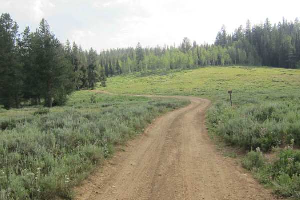
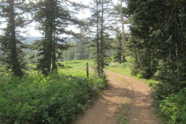
C-46 Plane Crash Site

Total Miles 6.7
Technical Rating
3 Easy
Best Time Summer, Fall
Trail Type Full-Width Road
Accessible By
Open Trail Map

Trail Overview

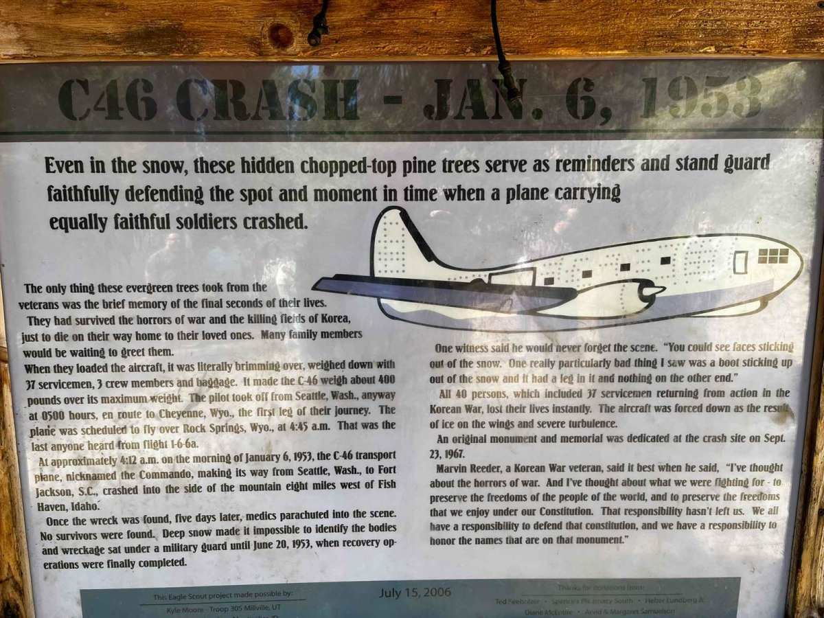
Near Beaver Mountain Ski Resort begins a route that hugs the outline of Beaver Creek. Near the top of the canyon, it swings out southeasterly by Beaver Creek Campground and then winds up a short canyon trail to the location where a C-46 carrying 37 servicemen and 3 crew members returning from the Korean War tragically crashed on January 6th, 1953. There is a memorial plaque, an informational board, and a place to drop any pieces of wreckage that you discover in the area.

Photos of C-46 Plane Crash Site

Difficulty

Most of the trail is smooth gravel and dirt. Some spots are rocky and rutted. There are also a few mud holes that vary in depth depending on the time of year and the most recent rain storm.

History

Around 4:12 a.m. on January 6th, 1953, a C-46 transport plane on its way from Seattle to Ft. Jackson, South Carolina, crashed into the hillside of Pat Hollow in the Wasatch Mountains near the Utah-Idaho border, eight miles west of the small town of Fish Haven, Idaho. Because of the way the military boarded the returning flights in alphabetical order, all of the servicemen had last names that began with H, J, or K. There were 37 servicemen and 3 crew members, and their baggage was on board. The servicemen were returning home from fighting in Korea. They had survived the horrors of war and were going home. The C-46, nicknamed "Commando", was loaded 400 lbs above its maximum weight, but had radioed to the Malad Idaho airport that the flight was normal and they were continuing on to Cheyenne, Wyoming, to refuel. However, the aircraft was probably brought down by iced wings, exacerbated by the overloaded cargo. The wreck was found five days later, but no survivors were found. The wreckage sat under military guard until June 20 when recovery operations were able to make it into the site. A monument on the crash site at Pat Hollow was dedicated on September 23rd, 1967, in order to honor these 37 veterans who were returning home to families, many of whom were eager to celebrate the recent holidays and give them gifts that they had been saving.

Technical Rating

3

Status Reports

Add Status Report
Jamie Hurd
Jun 12, 2026
Open
For the most part, the trail was dry except in a couple of places where I encountered deep ruts with mud and water in them; also a small stream crossed the trail. Because I ride a heavy adv bike and was alone, I decided to turn around about half way through rather than risking dropping it or injury.
Trevor Iseman
May 02, 2026
Open
Got to about 7501 feet in elevation. Made it to the Idaho state line. Had to turn around because of deeper snow and mud ruts. It’s melting fast though.
adam p
Sep 06, 2025
Open
Awesome ride supper easy it rained on us which made for a fun cold and muddy ride definitely worth going
Nate Strange
Jul 24, 2025
Open
Michael Bouck
Jun 06, 2025
Open
This is not the correct location for the Plane Crash Site. The correct location is 42.05101, -111.55126
Collin McIllwain
May 18, 2025
Open
Only went up to the border and turned around. Breathe taking scenery as always. Some decent patches of snow still on the road. Decently muddy as it has been raining. Great time to go.

C-46 Plane Crash Site Trail can be accessed by the following ride types:

  • Single Track
  • 50 Inch
  • 60 Inch
  • High Clearance
  • Full Width

C-46 Plane Crash Site Map

The onX Offroad Difference

onX Offroad combines trail photos, descriptions, difficulty ratings, width restrictions, seasonality, and more in a user-friendly interface. Available on all devices, with offline access and full compatibility with CarPlay and Android Auto. Discover what you're missing today!

Open Trail Map