Trail Overview
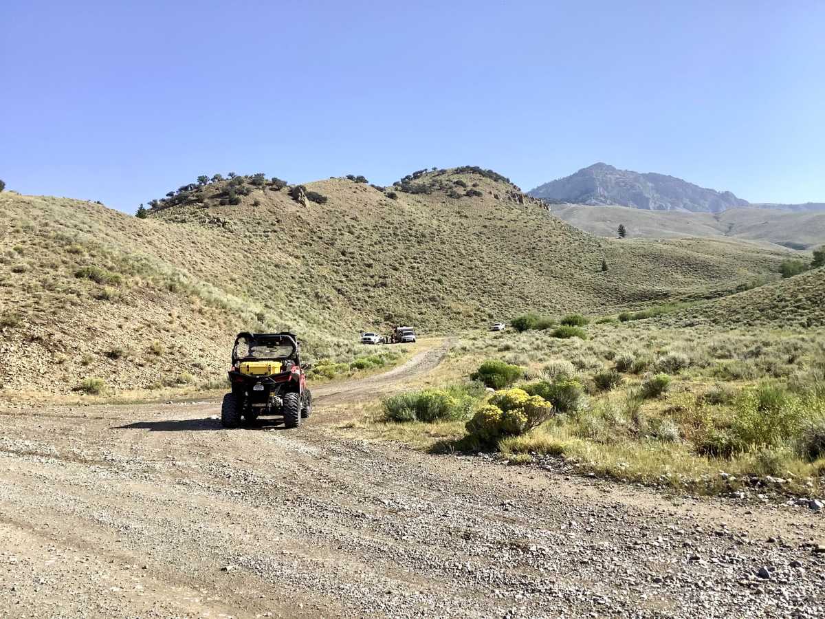
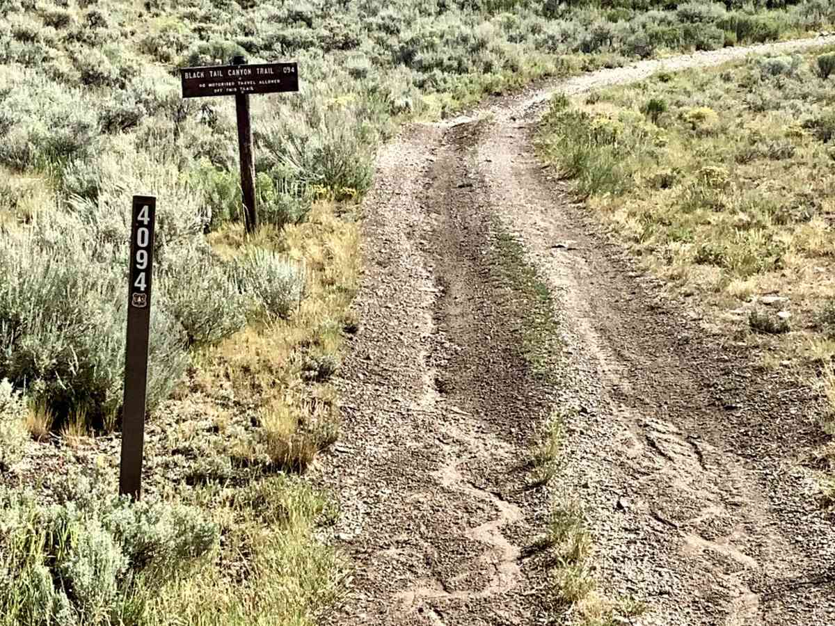
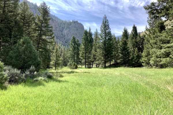
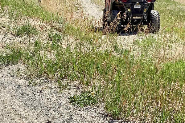
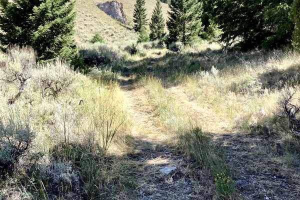
This is a Forest Service trail, 4094, called the Balacktail/Mud Lake trail, which is designated for use by vehicles 50” or less in width and has no seasonal restrictions. The trail lies on the northeastern slopes of the Lost River Mountain Range. From the trailhead on the county Pass Creek Road, the trail climbs through hilly open country that affords awesome views of the surrounding mountains and rock formations. After entering Blacktail Canyon, the trail winds through dense stands of conifers with occasional stands of aspen as it climbs out of the Canyon, at which point it begins a long, steep descent into the north fork of Deer Creek to the trailhead on the northeast end of the trail. The tread of the trail is stable and easily wide enough for ATVs. There are a few narrow and steep spots as the trail descends into the Deer Creek drainage. Altogether, this is a scenic, relaxing, and interesting ride through some very beautiful country.
Difficulty
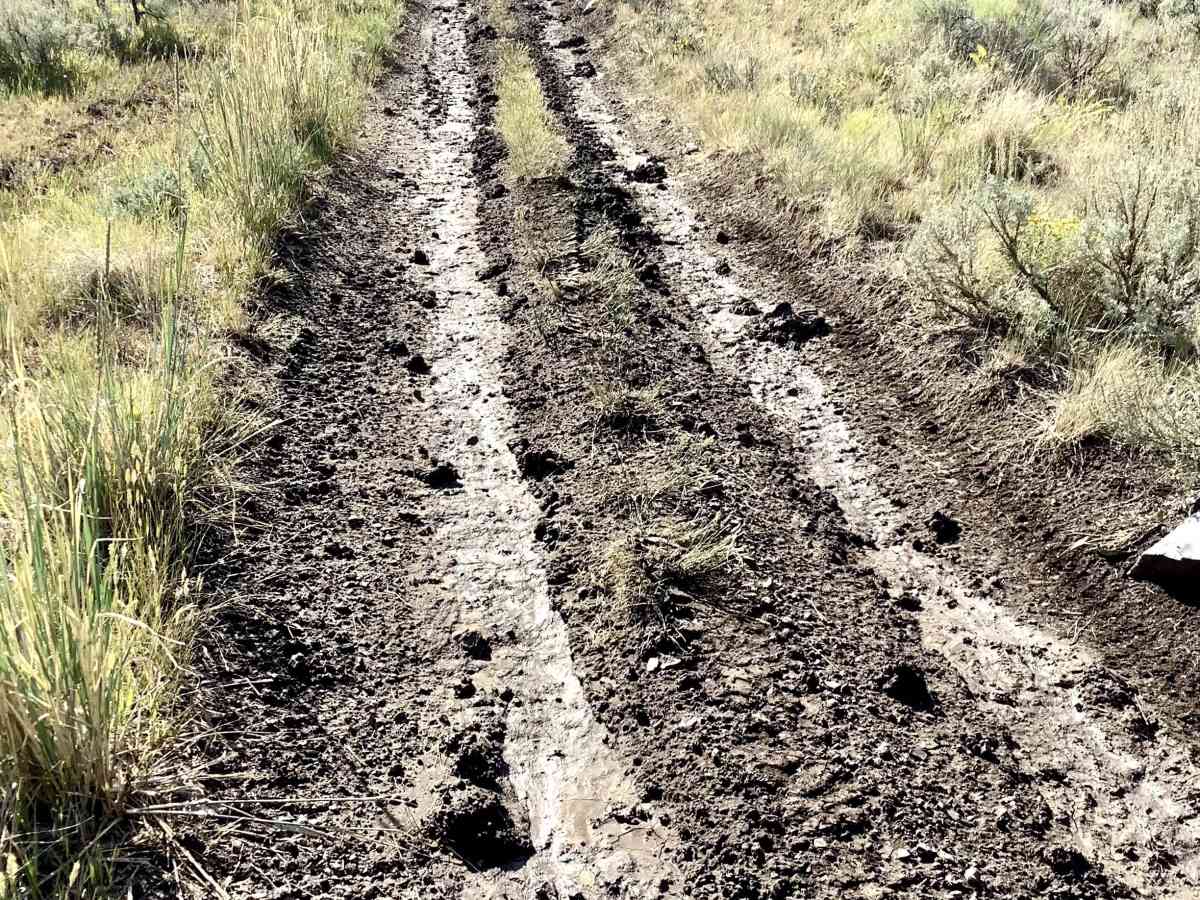
To be sure, there are some ruts to be straddled, some hairpin turns to be navigated, and a few steeper grades to negotiate. But all of these obstacles require only basic skills to safely overcome.