Trail Overview
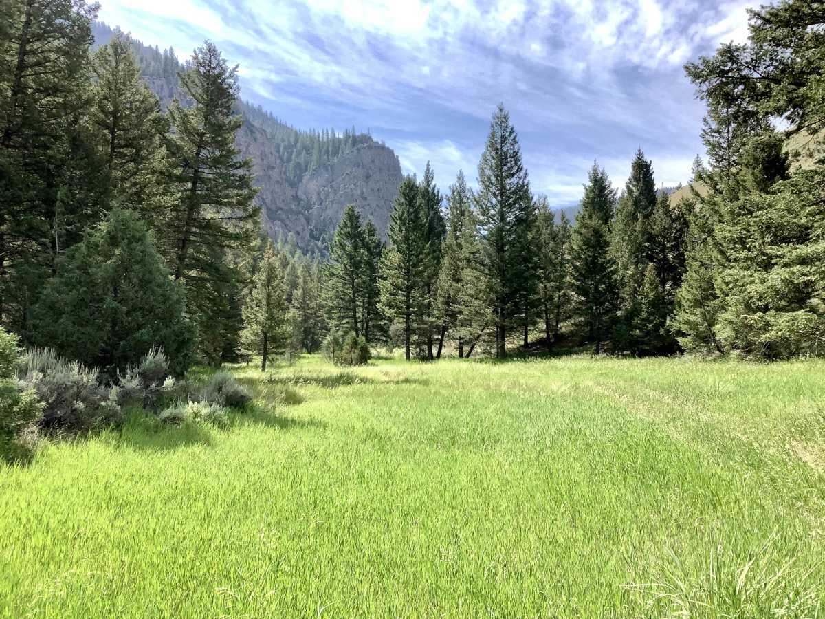
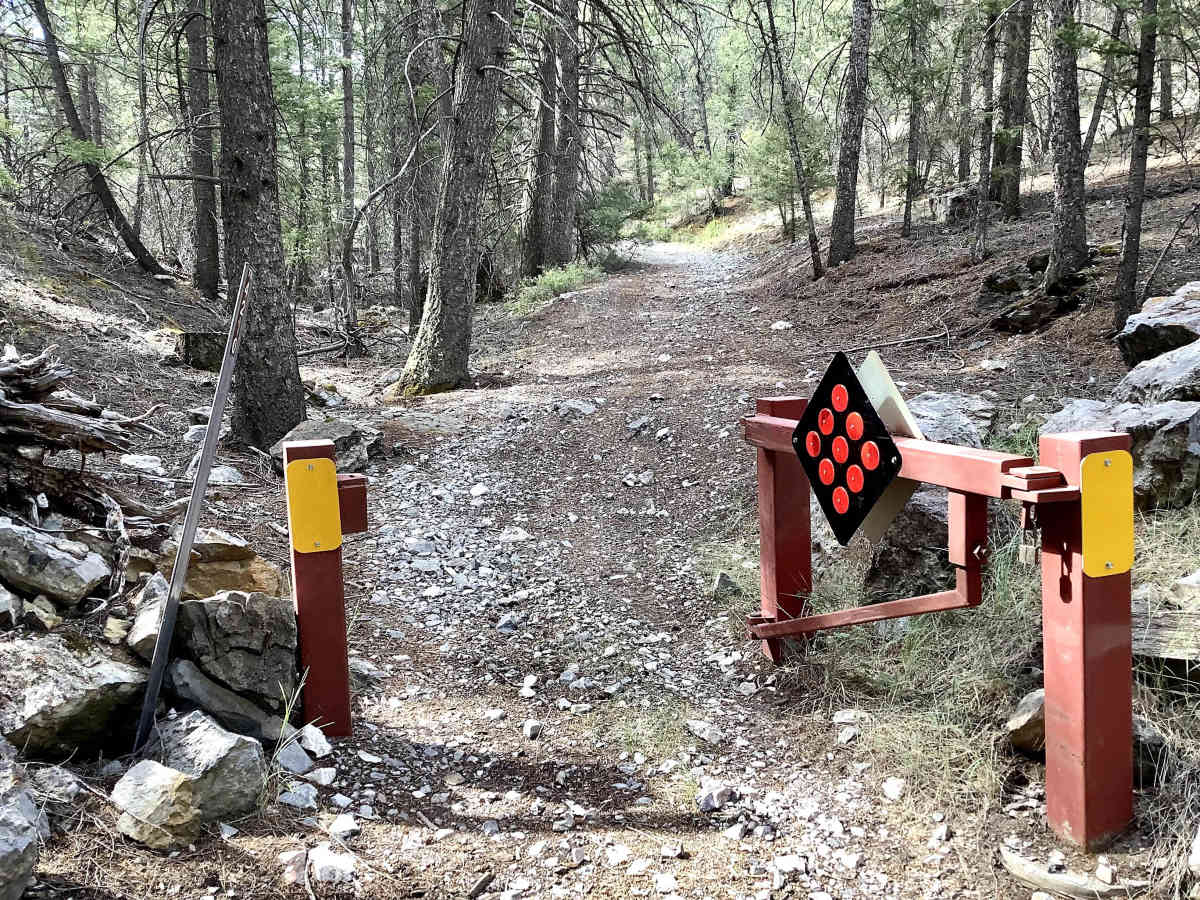
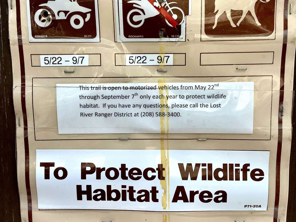
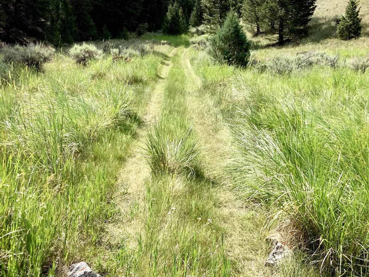
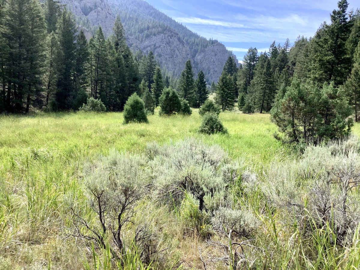
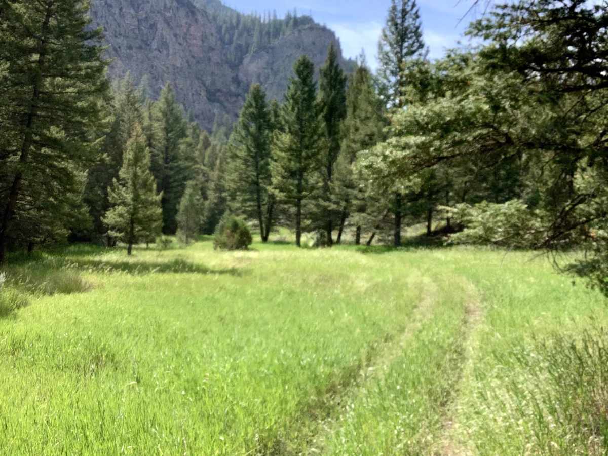
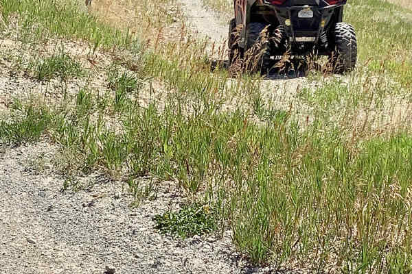
This trail, FS 4210, is designated for travel by vehicles 50” or less in width. The season of use is from May 22 through September 7 inclusive. The reason for the seasonal closure is to protect a local band of bighorn sheep. Entry to this trail from the Deer Creek Road is gated. From the gate, the first 2 miles of this trail pass through a series of stunningly beautiful meadows. If you are a photographer, you will want to spend some time there. As the canyon narrows and rises, the trail gets narrower and rockier and steeper, with evidence of some serious recent windblown deadfall. At about mile 4.2, at an elevation of 8,260 feet, there is a classic avalanche chute. This avalanche chute has two terminal feet, indicating multiple avalanches have occurred at this location. The trail ends at its intersection with the Sands Canyon ATV trail at an elevation of 8,712 feet. This is a really fun trail with beautiful mountain scenery and a bit of challenge to make it interesting. There is very little traffic on this trail, so if you enjoy solitude, you will especially enjoy this trail.
Difficulty
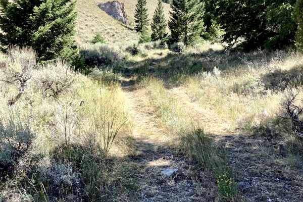
As the trail climbs out of the canyon, there are some steep grades and climbing switchbacks that require the driver to be able to set a good line through the debris and turns. Intermediate drivers should enjoy these challenges.

 Offroad