Trail Overview
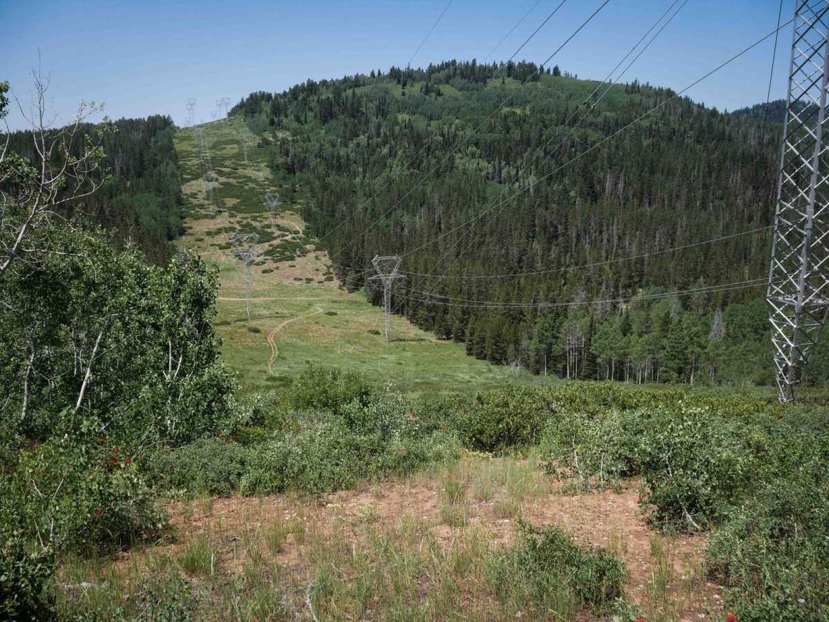
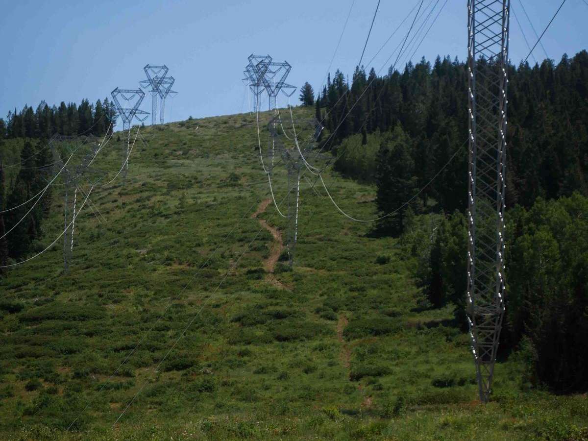
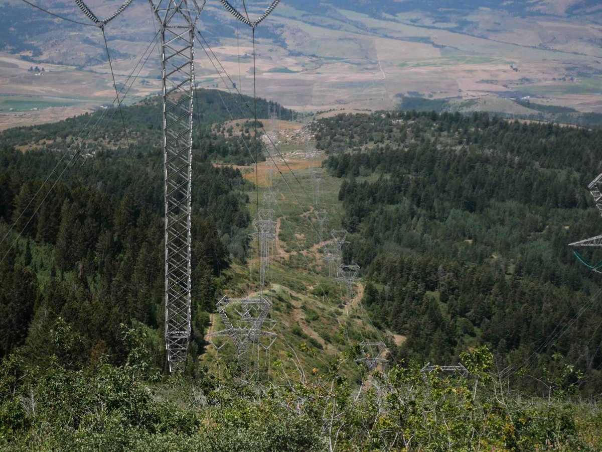
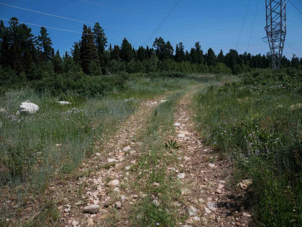
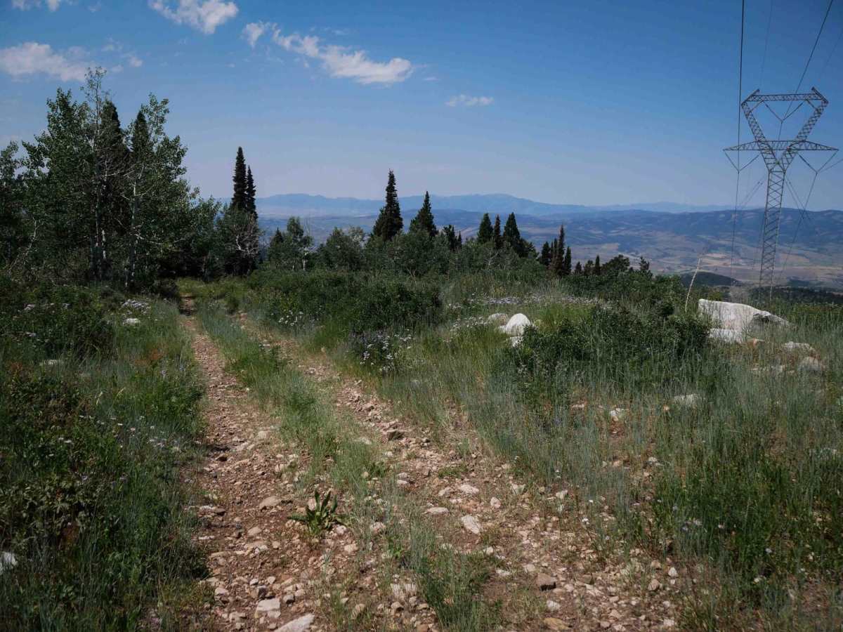
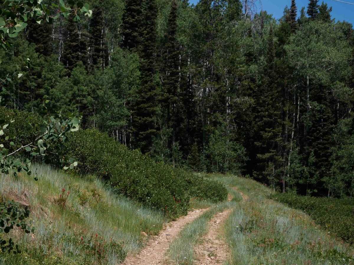
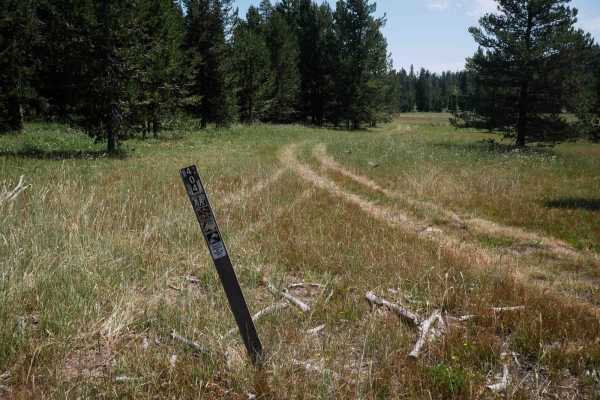
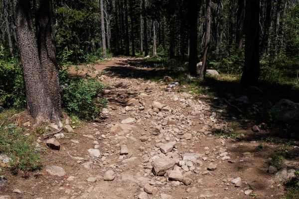
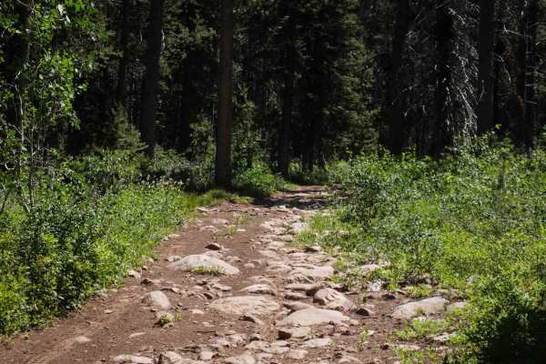
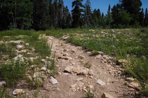
Bear Wallow #3442 is a nearly 6-mile-long ATV trail that follows a series of steep climbs and descents beneath powerlines, with lots of steep switchbacks that make it a moderately difficult route. The trail begins on the east end at an intersection with the Highline ATV Trail, immediately climbing steeply on loose dirt two-track with wide switchbacks and steep sections of heavy loose rock between each curve. After topping out, the trail descends again before crossing Road #30951, then resumes its climb under the powerlines with a wide trail surface full of small loose rocks and larger rock chunks scattered along the route. It winds through open hillsides and segments of pine forest, gradually gaining elevation with broad switchbacks. The terrain levels out in the middle of the route, with occasional embedded rocks, root bands, and shallow ruts filled with loose rock. Riders pass through a grassy field with grazing cattle and then take a short connection on Road #30404 before rejoining the main ATV trail under the powerlines again. The final stretch heads west in a zigzagging descent with increasingly loose and steep sections, making for a rougher and more technical finish.
Difficulty
This is an intermediate trail due to the repeated steep climbs and descents, especially where loose rock covers the trail surface. Steep switchbacks add to the difficulty on both ends of the trail, although there are easier smoother segments midway through the route.