Trail Overview
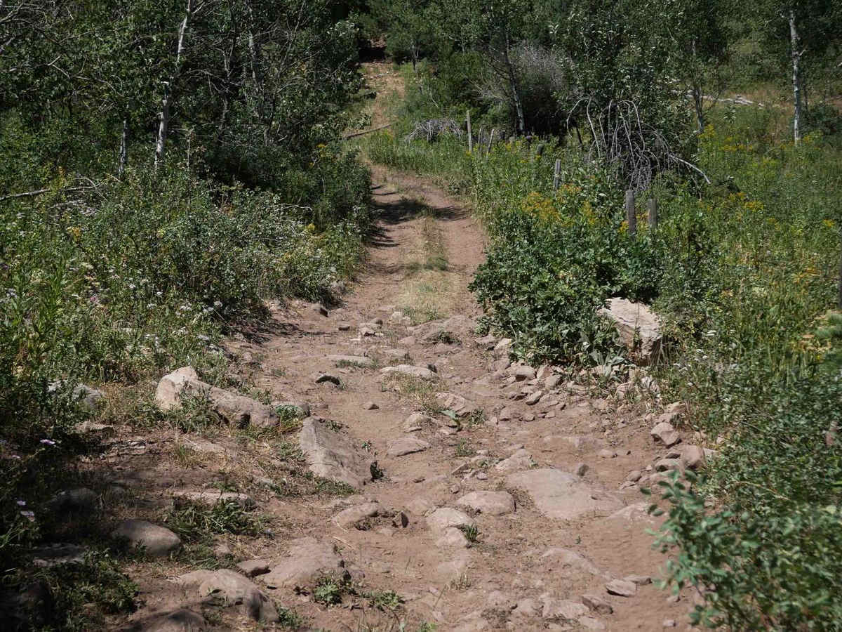
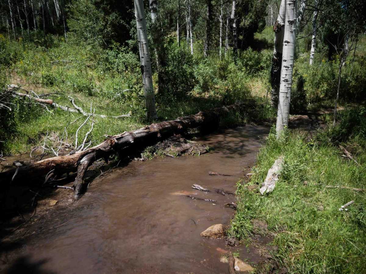
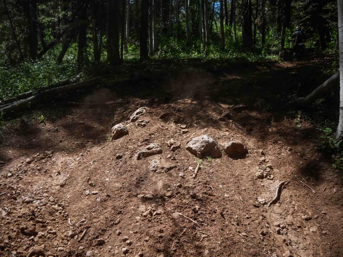
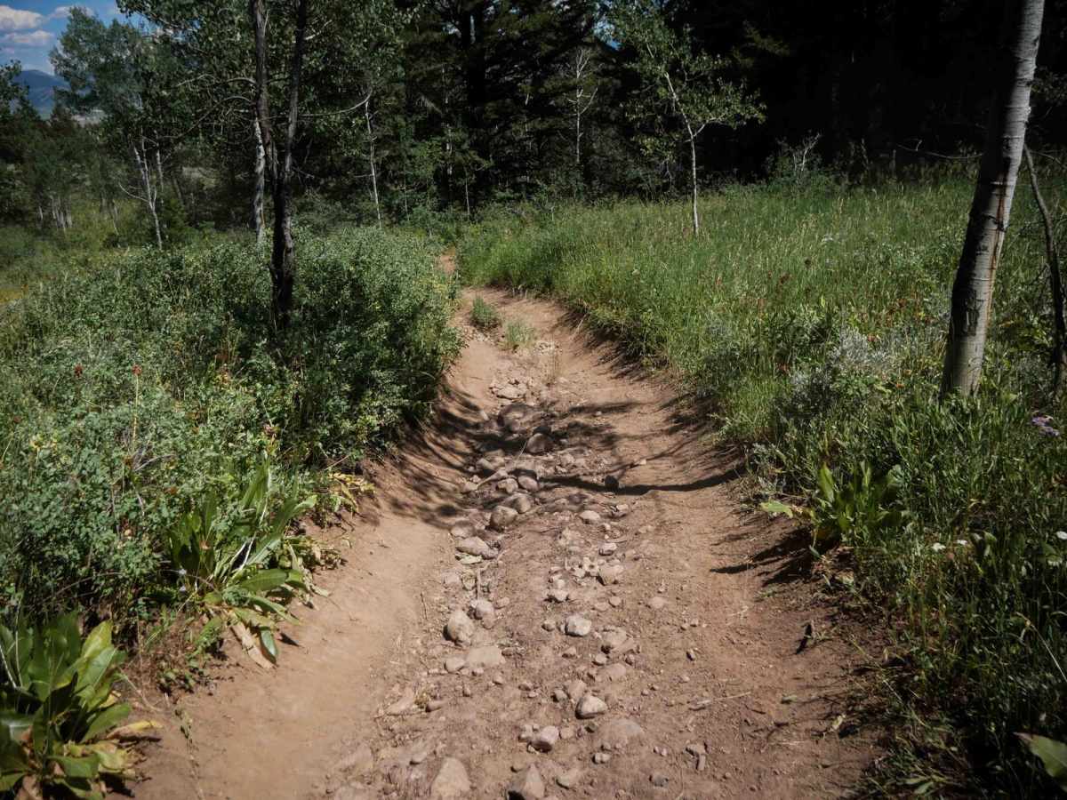
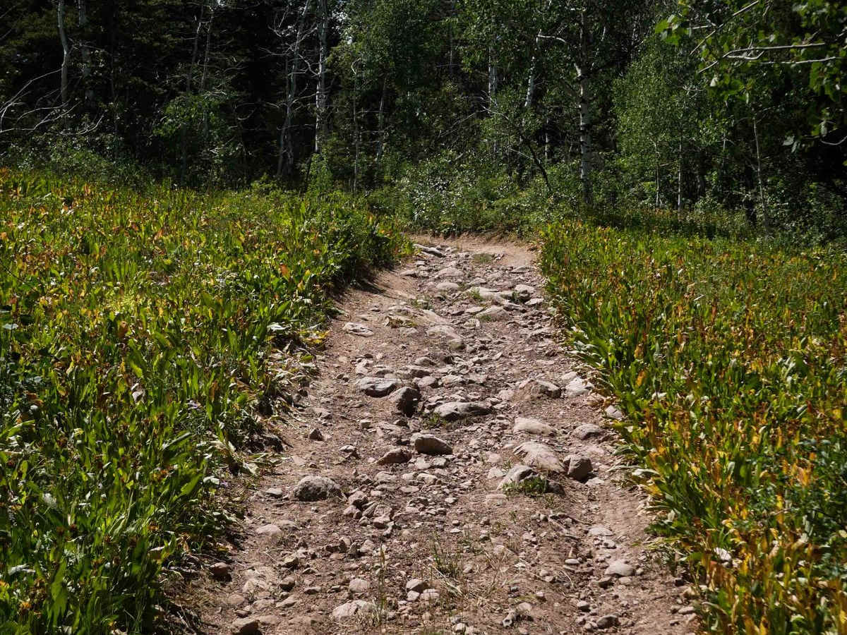
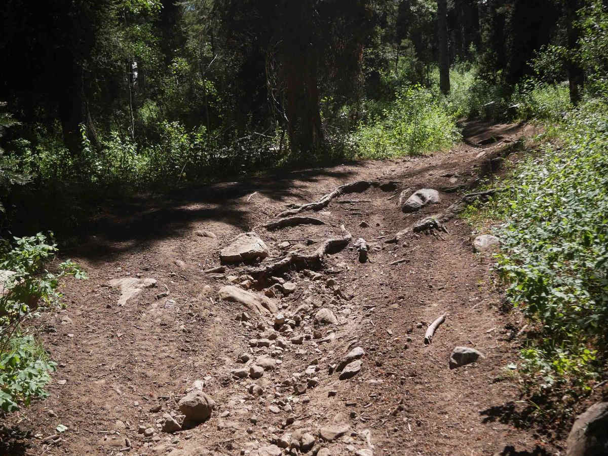
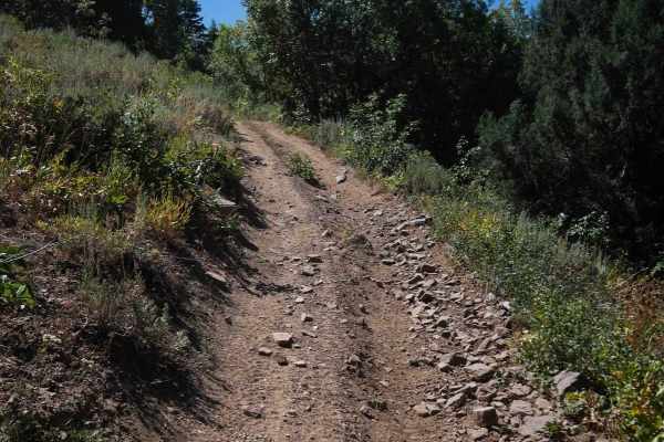
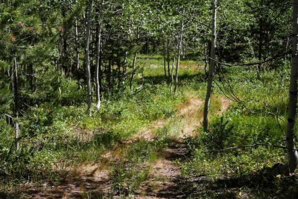
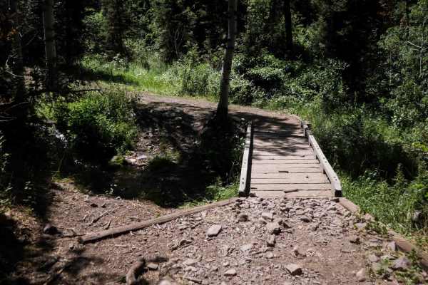
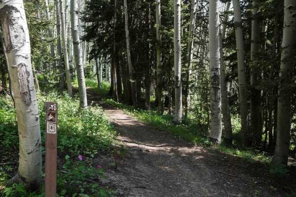
The first 3 miles of Bailey Creek #3331 are pretty easy, starting from a small grassy parking area off of Eightmile Road, and passing through a gated easement in private property. After passing through a 50-inch pinch point, the trail winds through dry, dusty forest and open meadows with a mix of pine and aspen trees, and goes through a few big mud puddles. The surface includes frequent embedded rock, including football-sized rocks that make for a slower and bumpier ride, though there are no ledges or major obstacles. Occasional root bands cross the trail, and there are a few short climbs with loose rock, but overall the terrain remains pretty manageable for riders with basic skill levels. It connects with Bailey Springs Road #30400 for a brief section before the ATV trail picks back up again just after a shallow water crossing through Bailey Creek on the road. The next 3 miles are more challenging and also provide access to spurs #3118 and #3119. There is a long, sustained climb from east to west that gains nearly 1,600 feet in elevation over the last 3 miles. Along the way, riders encounter steep and rocky sections with tight corners, loose rock, ruts, frequent root bands, and bigger embedded rock, especially on the steeper portions leading to the intersection with the Highline ATV trail, making it a bit more technical. It's a fun trail overall through scenic forest, ending at scenic views on the Highline Trail.
Difficulty
This is an intermediate trail due to long sustained climbs, embedded rock, and loose, rooty terrain in the northern half of the trail, while the first 3 miles of trail on the south end is easier. The elevation gain and combination of steeper grades with rough surfaces make it better suited for riders with a bit more experience.