Mill Creek - FS 26-2

Total Miles2.1
Technical Rating
2Easy
Best TimeSummer, Fall, Winter
Trail TypeFull-Width Road
Accessible By
Open Trail Map

Trail Overview

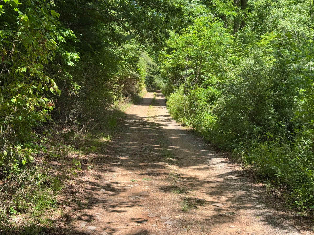
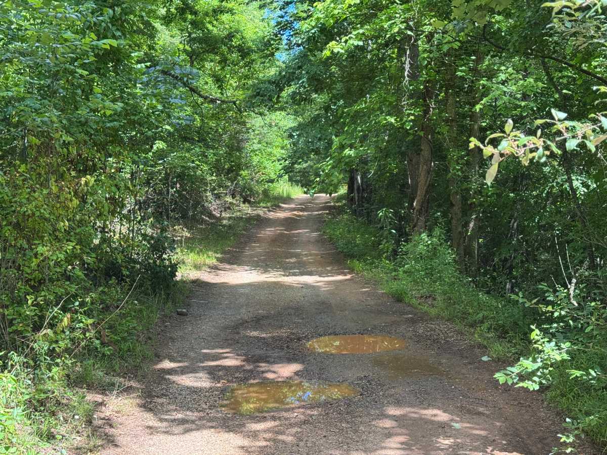
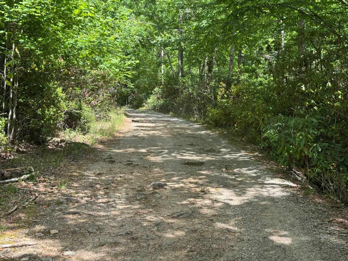
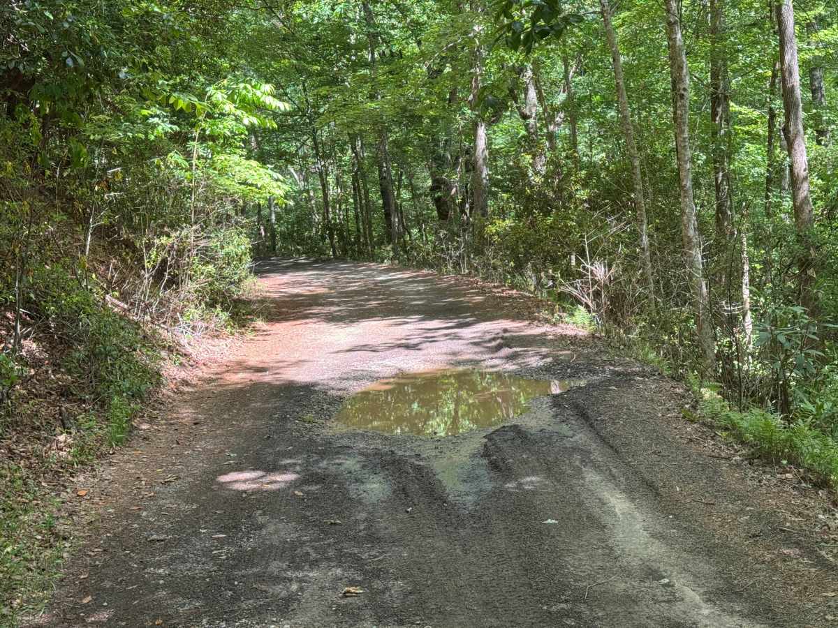
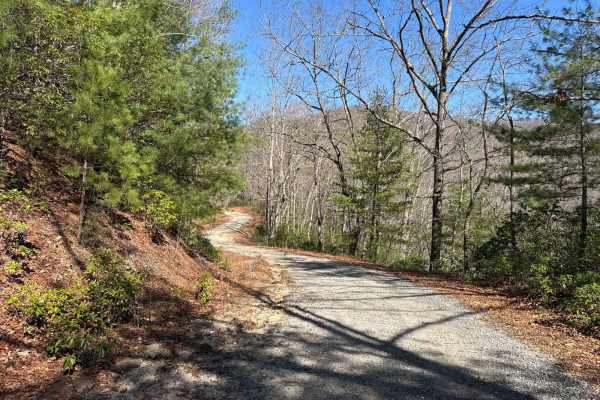
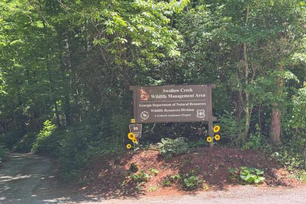
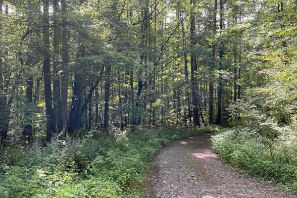
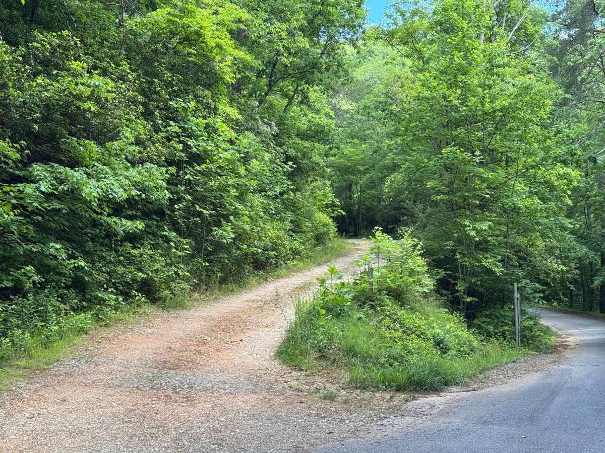
Mill Creek - FS 26-2 is a 2.1-mile out-and-back route that follows a generous single-lane forest road with places to pass. The road surface consists of packed dirt and gravel and is lightly maintained throughout. Passing through heavily forested terrain, the route is rated easy and provides a quiet forest setting with several muddy spots that may require additional attention during wet conditions. Several dispersed campsites are located along the route before it terminates at a closed gate. Although motorized travel ends at the gate, the trail continues beyond to a ridge where it meets the Appalachian Trail and is marked as closed to motor vehicle traffic on the MVUM. Access is restricted to highway-legal vehicles only, and the trail is generally open from March 15 through January 15.

Photos of Mill Creek - FS 26-2

Difficulty

Single-vehicle wide with places to pass. Some rough and rocky sections. Slight erosion in places.

Technical Rating

2

Mill Creek - FS 26-2 Trail can be accessed by the following ride types:

  • High Clearance
  • Full Width

Mill Creek - FS 26-2 Map

The onX Offroad Difference

onX Offroad combines trail photos, descriptions, difficulty ratings, width restrictions, seasonality, and more in a user-friendly interface. Available on all devices, with offline access and full compatibility with CarPlay and Android Auto. Discover what you're missing today!

Open Trail Map