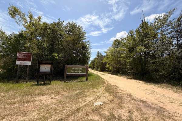
Griffin Ridge WMA

Total Miles1.6
Technical Rating
2Easy
Best TimeSpring, Summer, Fall, Winter
Trail TypeFull-Width Road
Accessible By
Open Trail Map

Trail Overview

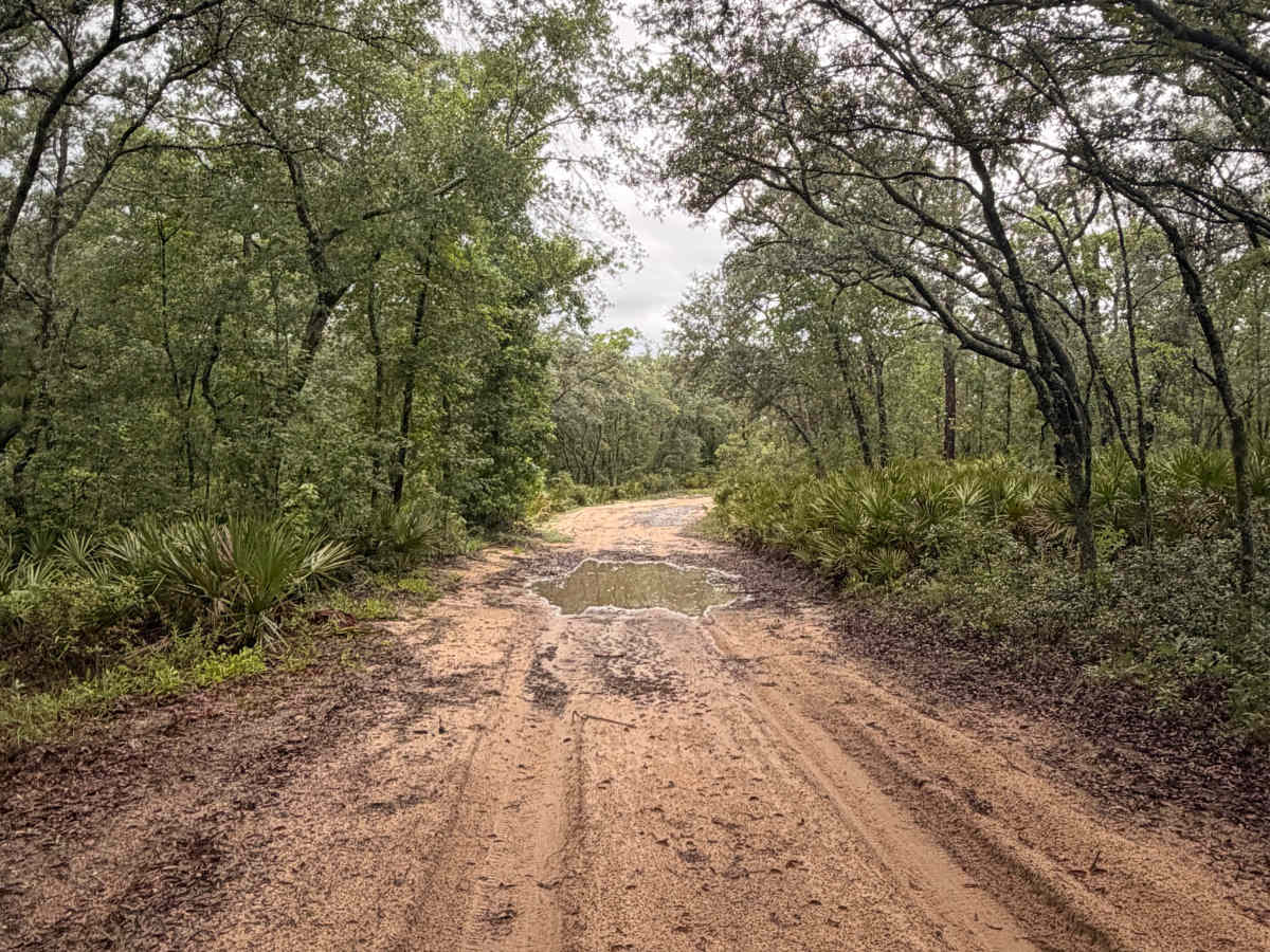
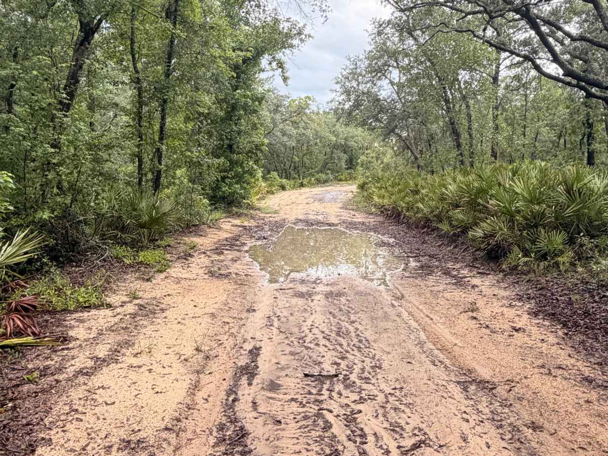
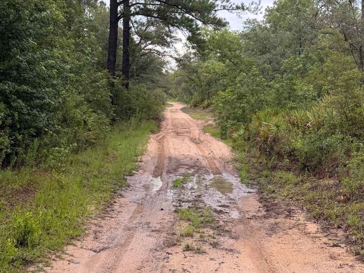
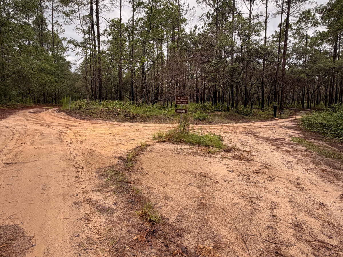
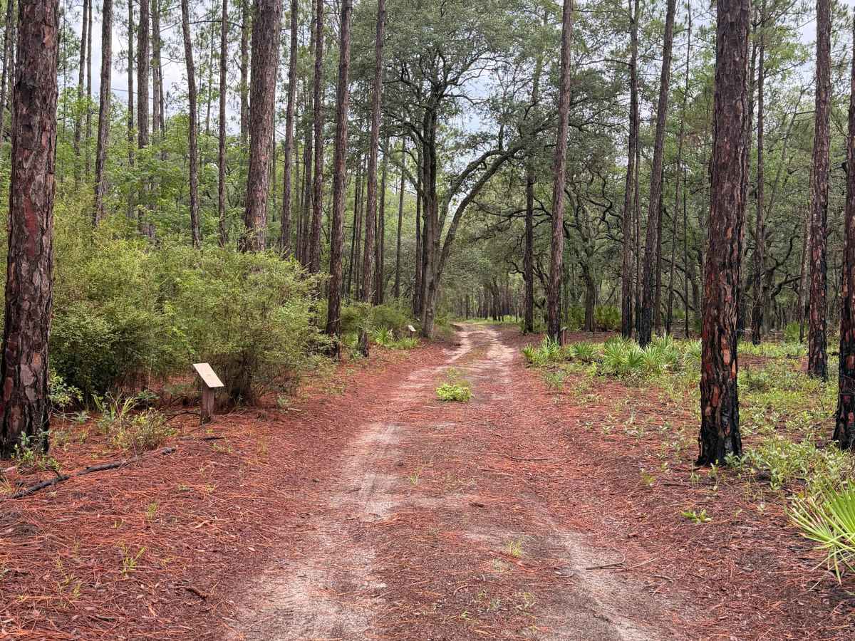
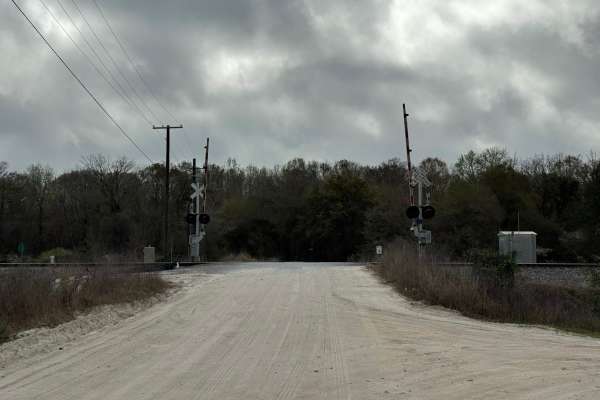
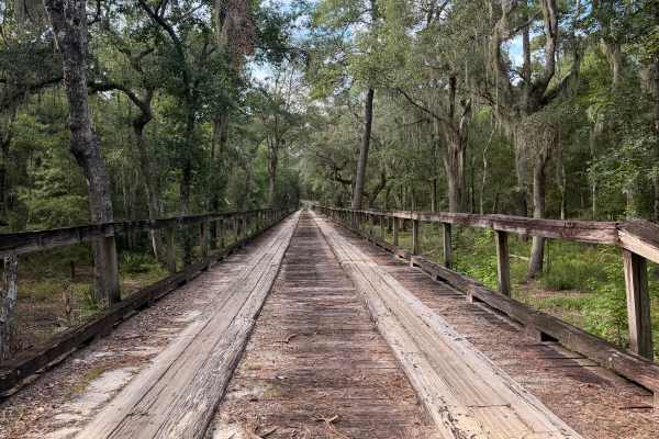
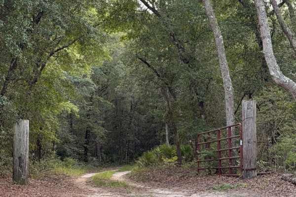
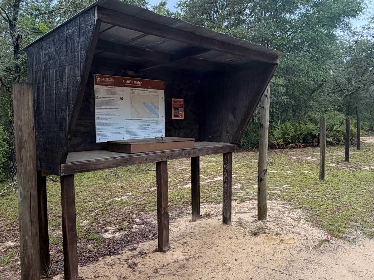
Griffin Ridge Wildlife Management Area (WMA) offers a scenic drive through longleaf pine forests, oak hammocks, and palmetto flats on sandy forest roads. The route is generally suitable for stock 4WD vehicles in dry conditions, but recent rain can create standing water, muddy sections, and soft sand that increase the difficulty. The northern end of the trail features the Fountain Hole Camping Area, a large primitive campground with dispersed camping opportunities, a fishing pond, and a historic fire tower. A valid Georgia fishing license is required to fish the pond. Wildlife viewing opportunities are common throughout the area, and visitors should expect changing trail conditions after periods of rain. A valid Georgia hunting license, fishing license, or Lands Pass is required to access the Wildlife Management Area. ATVs are not allowed.

Photos of Griffin Ridge WMA

Difficulty

Rated 2 because the route primarily follows wide, sandy forest roads with only minor ruts and shallow seasonal mud holes. Most stock AWD and 4WD vehicles can complete the trail in normal conditions, though recent rain may create deeper puddles and soft sand in a few sections.

Technical Rating

2

Griffin Ridge WMA Trail can be accessed by the following ride types:

  • High Clearance
  • Full Width

Griffin Ridge WMA Map

The onX Offroad Difference

onX Offroad combines trail photos, descriptions, difficulty ratings, width restrictions, seasonality, and more in a user-friendly interface. Available on all devices, with offline access and full compatibility with CarPlay and Android Auto. Discover what you're missing today!

Open Trail Map