FS 312S

Total Miles0.9
Technical Rating
4Moderate
Best TimeSpring, Fall, Winter
Trail TypeFull-Width Road
Accessible By
Open Trail Map

Trail Overview

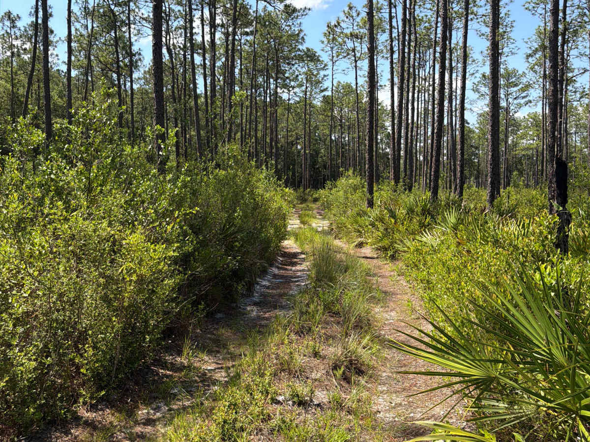
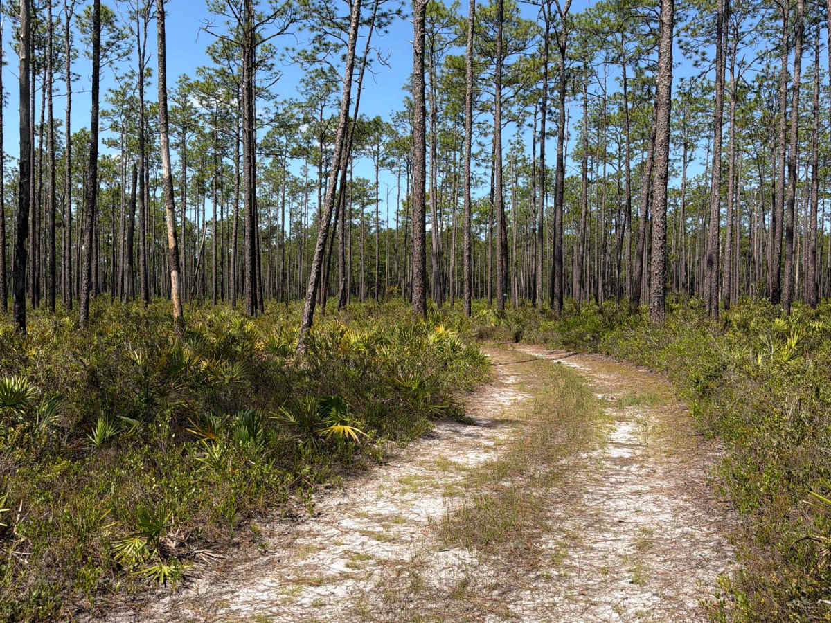
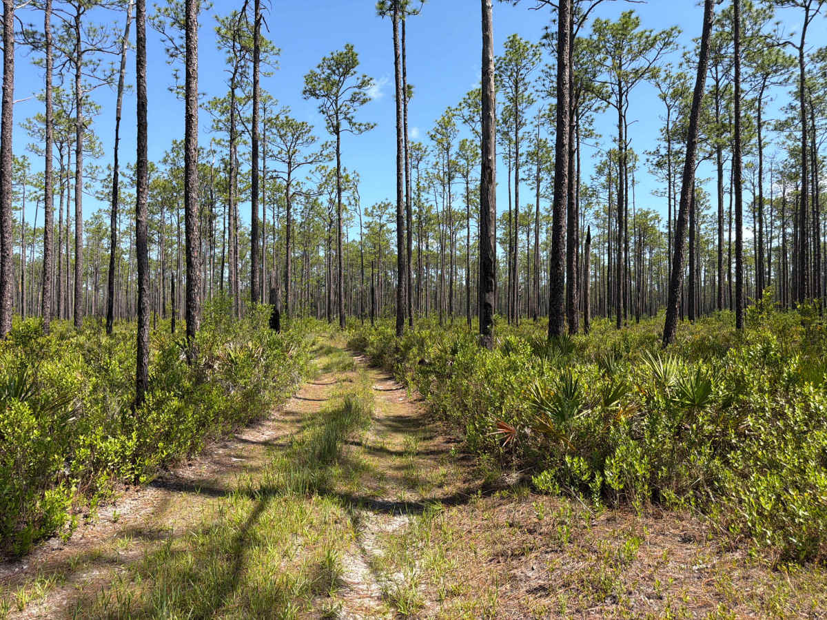
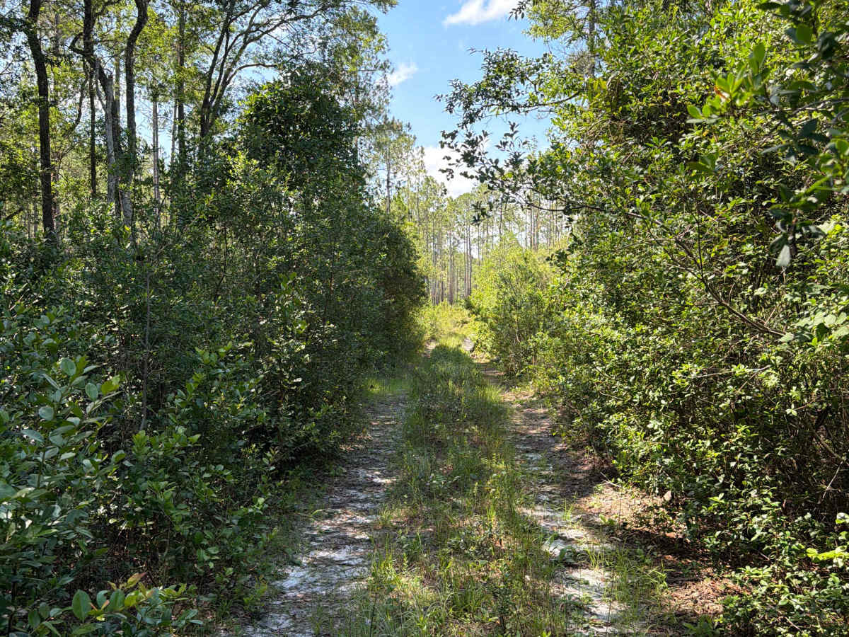
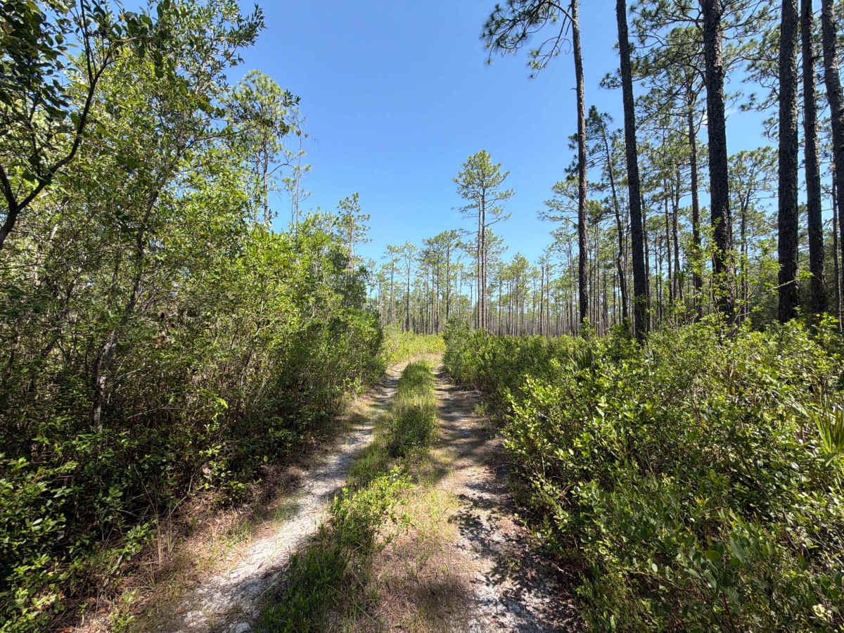
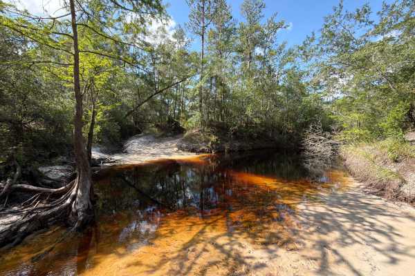
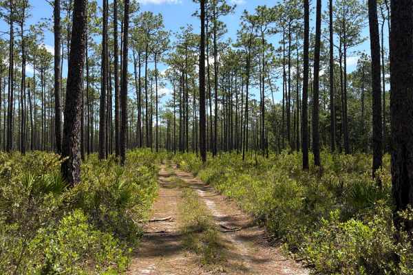
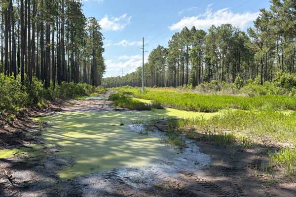
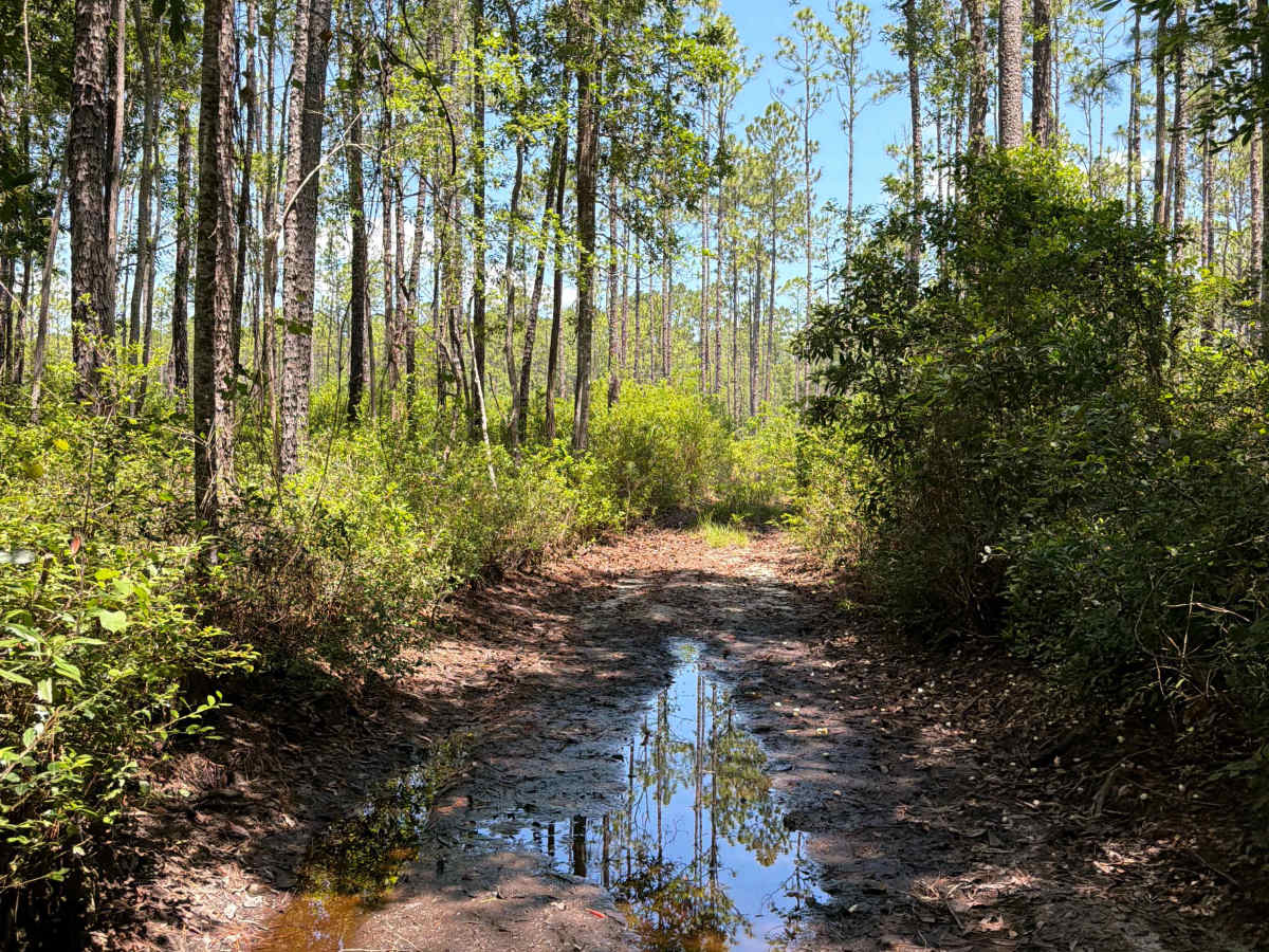
Forest Road 312S connects FS 313C at the south end and the Ranger trail at the north end. It takes you through the northeast part of the Apalachicola National Forest along the Cow Swamp. The road conditions are a mixture of packed sand, loose sand, and some deep holes that can turn into 2-foot-deep mud holes after rainy days. It's a partially very narrow trail with several permanent mud holes. The road is not always wide enough for two vehicles to pass. Some sections might require 4WD. All vehicles must be street legal. The cellphone reception is weak. The Apalachicola National Forest is located in the eastern part of Florida's panhandle. It's home to some of the most unique animal and plant species in the world. Here, visitors can enjoy safe, family-friendly activities such as fishing, hunting, hiking, and trail-riding while surrounded by tranquil, diverse ecosystems.

Photos of FS 312S

Difficulty

Narrow trail with several Mud Holes that can be technically challenging, especially after heavy rain.

Technical Rating

4

FS 312S Trail can be accessed by the following ride types:

  • Single Track
  • 50 Inch
  • 60 Inch
  • High Clearance
  • Full Width

FS 312S Map

The onX Offroad Difference

onX Offroad combines trail photos, descriptions, difficulty ratings, width restrictions, seasonality, and more in a user-friendly interface. Available on all devices, with offline access and full compatibility with CarPlay and Android Auto. Discover what you're missing today!

Open Trail Map