Trail Overview
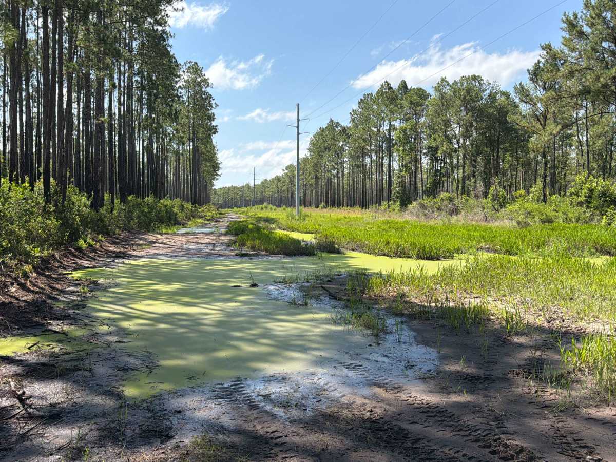
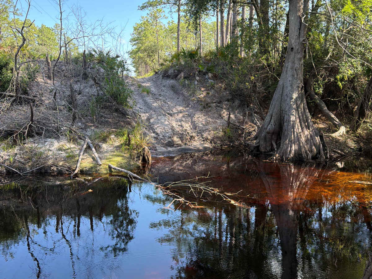
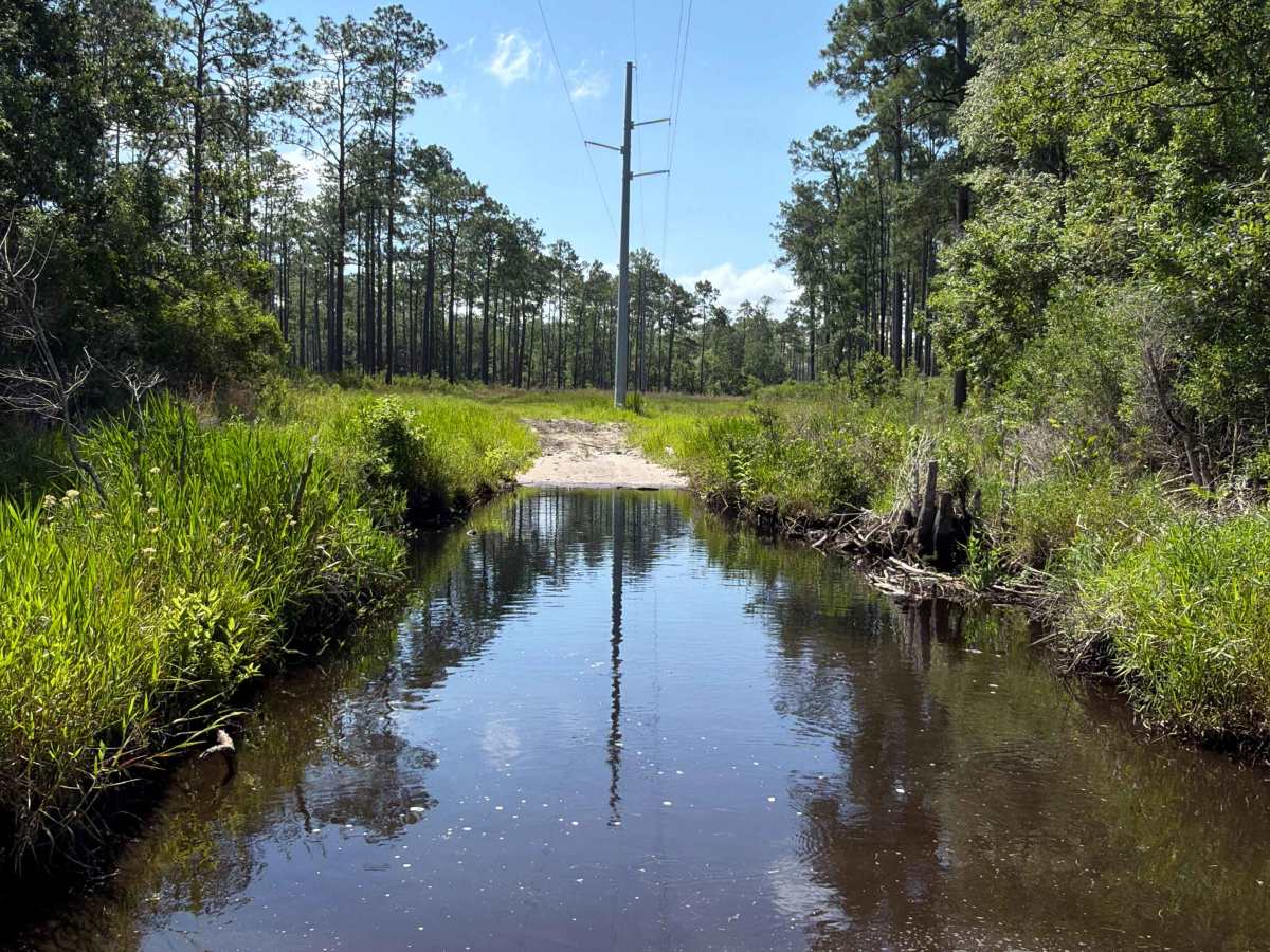
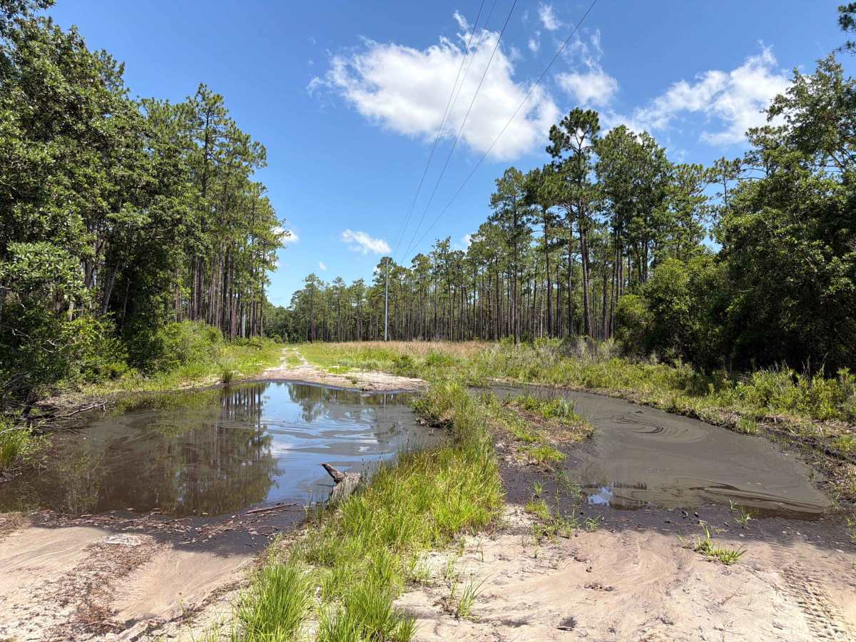
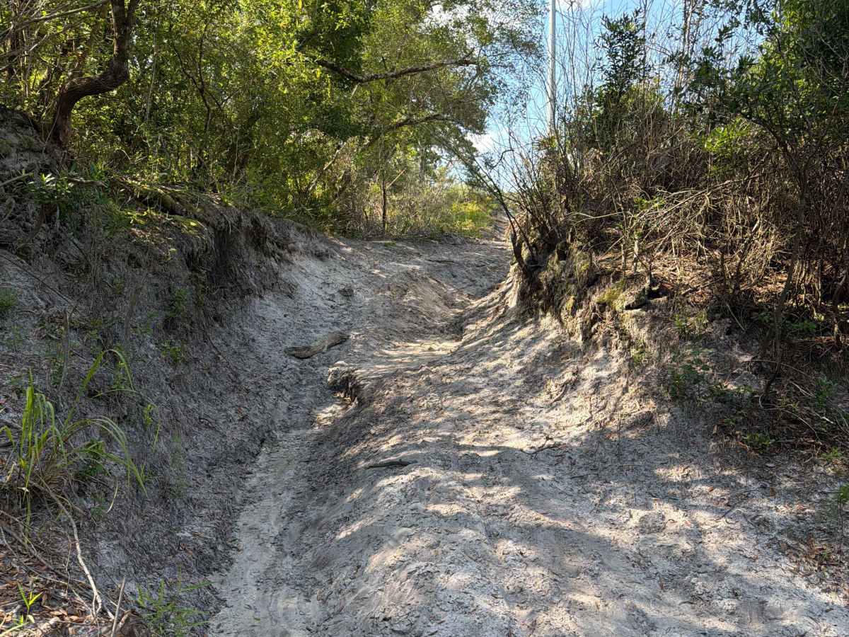
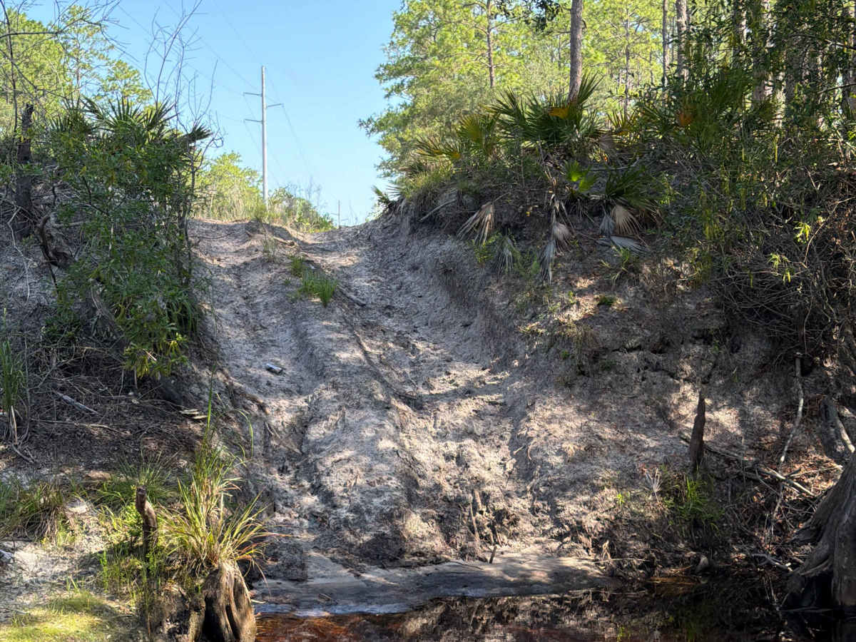
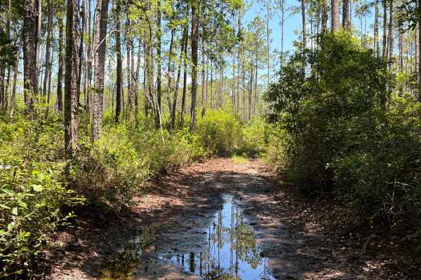
The Powerline Forest Road 312F connects Ranger Trail at the north end and Forest Highway 13 at the south end. It takes you through the northeast part of the Apalachicola National Forest along the Power Line and gives you access to several OHV and Off-road trails. It is definitely one of the most technically challenging trails in the area. You'll find several permanent Mud Holes that are up to 4 feet deep and several hundred feet long with very slick mud. The trail crosses Lost Creek. The water crossing is very steep and narrow; the creek can be up to 4ft deep. You can get easily stuck on this trail. The road is not always wide enough for two vehicles to pass. 4WD and high clearance are required. All vehicles must be street legal. The cellphone reception is weak. The Apalachicola National Forest is located in the eastern part of Florida's panhandle. It's home to some of the most unique animal and plant species in the world. Here, visitors can enjoy safe, family-friendly activities such as fishing, hunting, hiking, and trail-riding while surrounded by tranquil, diverse ecosystems.
Difficulty
Mud Holes can be up to 500 feet long and 3-4 feet deep. The water crossing is steep, deep, and very narrow. Do not approach without recovery gear or a second vehicle.


 Offroad