Trail Overview
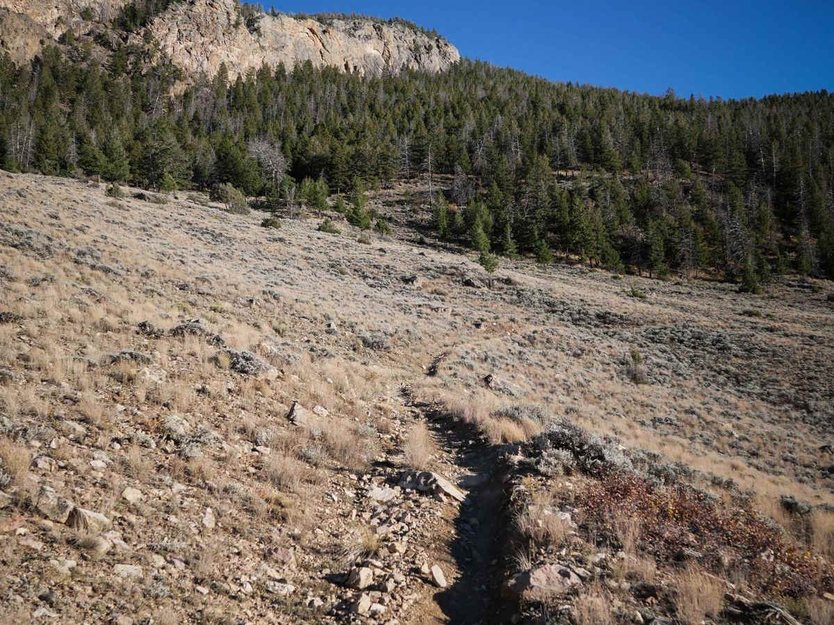
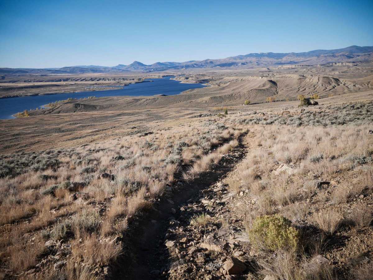
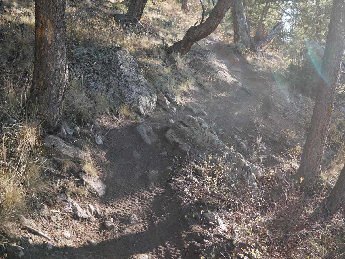
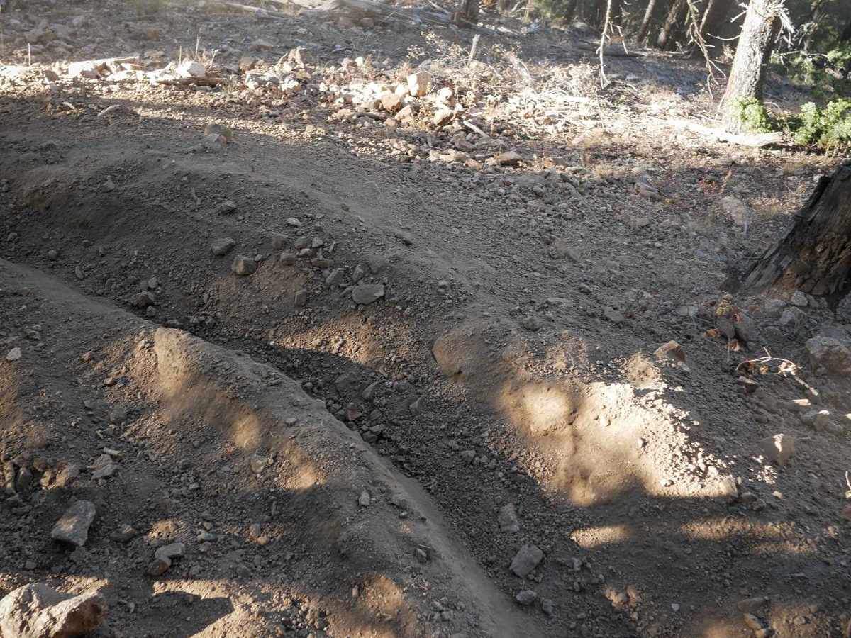
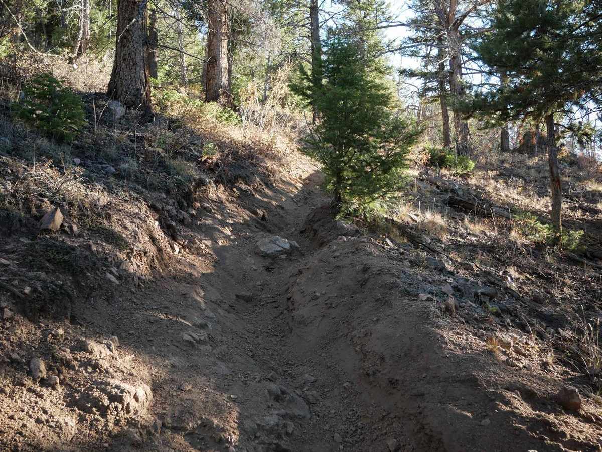
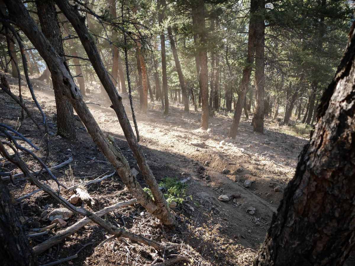
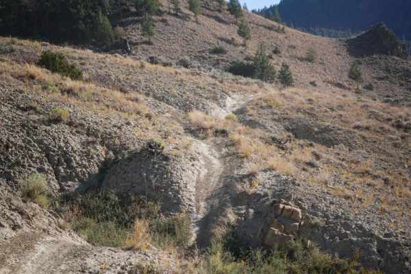
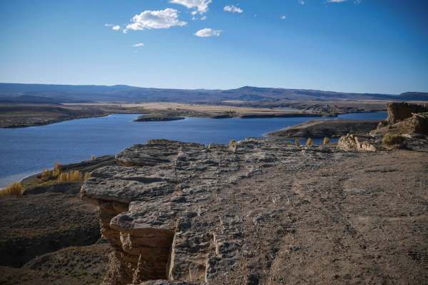
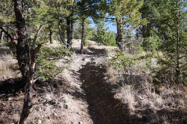
This singletrack is the highlight of riding in the Wolford area near Kremmling, Colorado. It's probably the hardest trail in the area, but also the most rewarding, with some fun challenges and great views. The north end goes through a gate, with a little bit of loose rock and ruts to start. It climbs up, with a view of the reservoir to the west. The trail climbs up the northern face of Wolford Mountain, with really steep and rutted spots. It gains almost 1,200 feet in 1.4 miles. As the trail keeps ascending, it enters the trees, where there are more root and rock obstacles, with bigger embedded boulders that make ledges up to a foot tall. You can see people have struggled in spots and just spun their tires. After it winds through the trees and skirts some private property, it descends back down the southern face of Wolford Mountain on a steep descent, losing 1,000 feet of elevation. The descent goes through wide open hillsides, side-hilling a bit on a shelfy and narrow trail that curves past junipers and sagebrush. It's only open to motorcycles from 6/1 - 9/14.
Difficulty
This is an intermediate single track that has steep and loose climbs, tricky rock and root obstacles, and narrow sections of the trail. It will be a good challenge for average riders.