Trail Overview
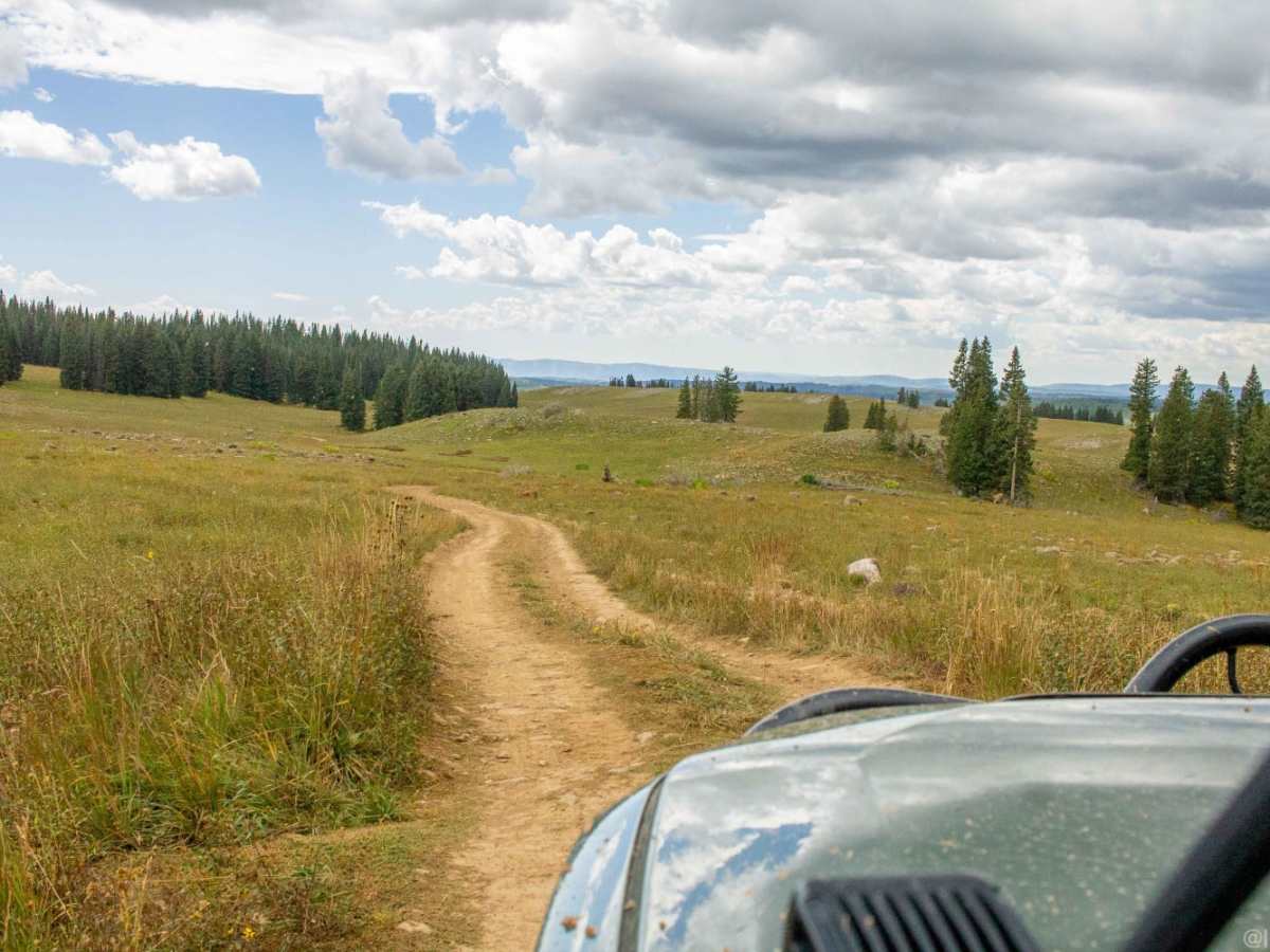
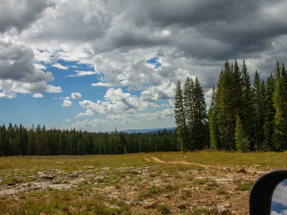
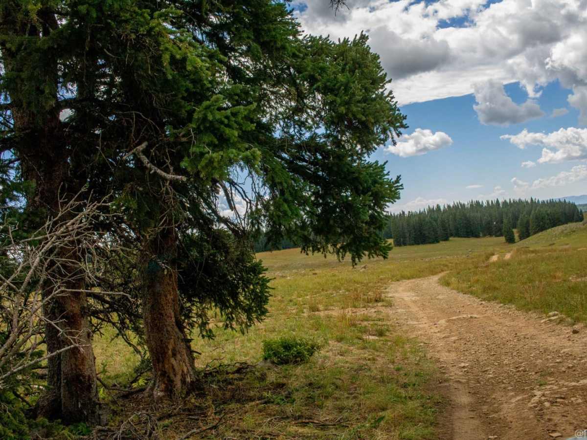
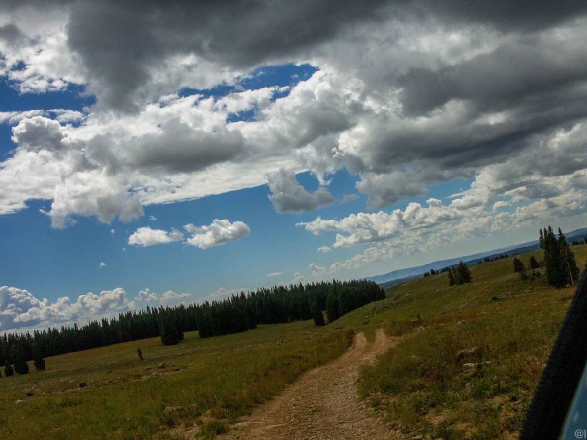
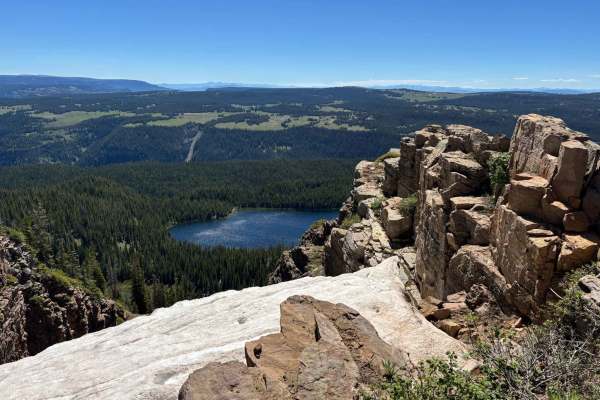
West Ute Creek (Forest Road 648) is an exceptional scenic mountain trail designed for offroaders, hunters, and campers seeking sweeping panoramic views and direct access to pristine Colorado high-country recreation. Beginning near the eastern shore of Meadow Creek Lake at an elevation of roughly 9,380 feet, this 5.2-mile dirt track winds through open meadows and striking rock formations, climbing to a peak elevation of over 10,250 feet along the scenic Flat Tops area. The route features a modest technical rating of 3, making it highly accessible for most high-clearance four-wheel-drive vehicles and adventure-ready SUVs during the dry summer and autumn months. Hunters frequently utilize this corridor during big game seasons due to the expansive sightlines across the alpine terrain, while campers will find several scenic dispersed campsites nestled among the trees.
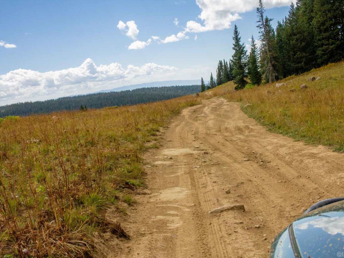
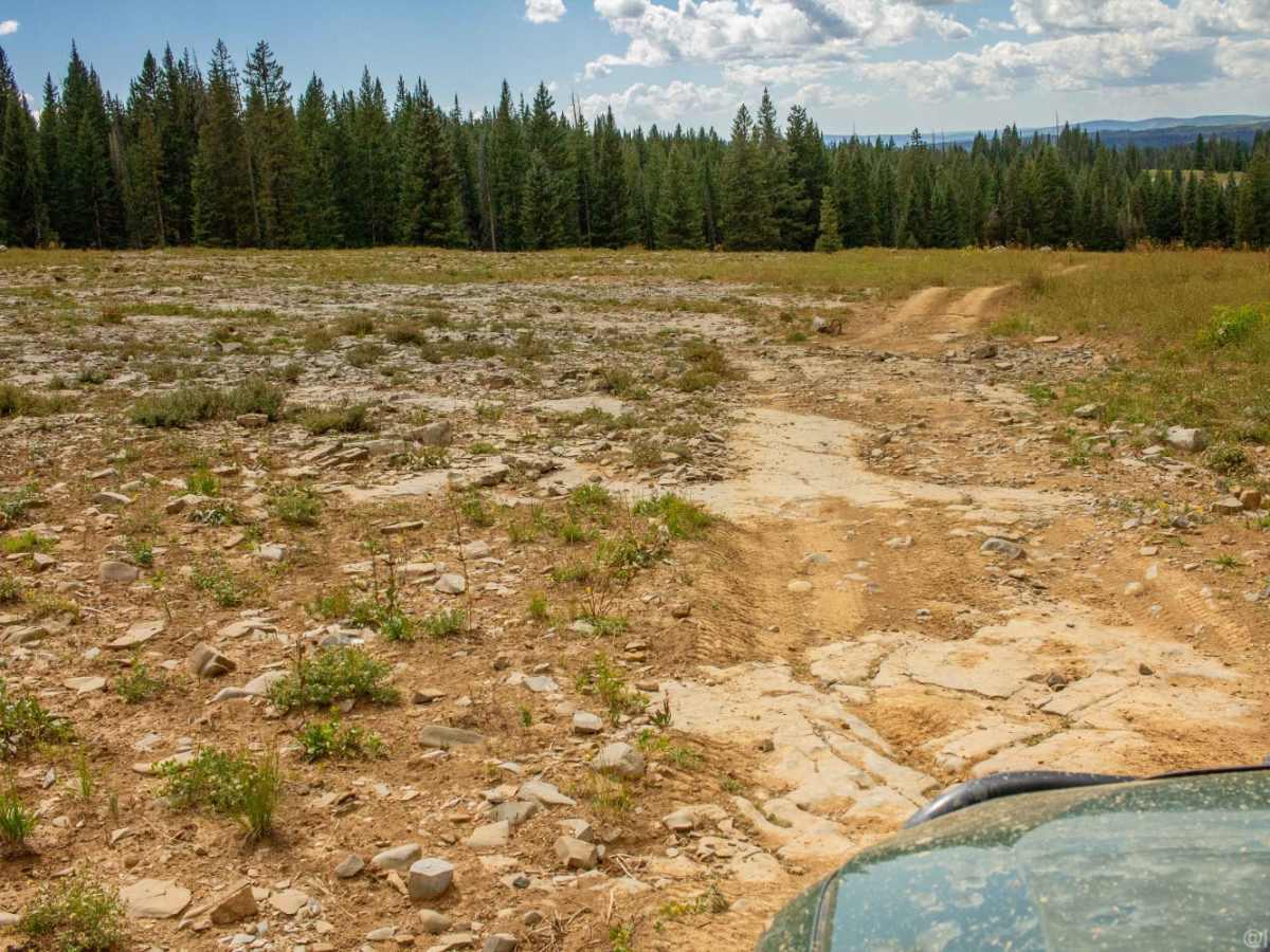
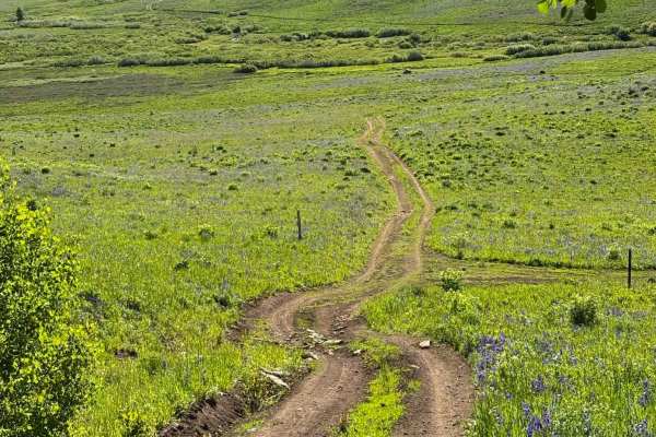
While the trail is generally straightforward, offroaders should be prepared for variable conditions, including deeply rutted sections, washouts, and slick clay mud that can quickly develop after afternoon thunderstorms. The route experiences a cumulative elevation gain of around 430 feet and a descent of approximately 1,070 feet as it heads eastward, eventually connecting with deeper networks of remote forest service roads. Winter and spring snowpack keeps this high-altitude route completely impassable for standard vehicles until late June or July, meaning seasonal planning is essential. Travelers should ensure their vehicles have reliable traction and adequate ground clearance to safely navigate the occasionally washed-out areas and muddy bogs encountered along the way.
Access Description
The route is located within the White River National Forest. There are no fees or permits required for standard recreational travel. High snow levels make the road completely impassable in winter and early spring, with the trail typically opening by late June or early July depending on snowpack. A high-clearance 4WD vehicle is highly recommended due to deep mud and rutted washouts.