Ute Creek

Total Miles4.8
Technical Rating
4Moderate
Best TimeSummer, Fall, Spring
Trail Type50" Trail
Accessible By
Open Trail Map

Trail Overview

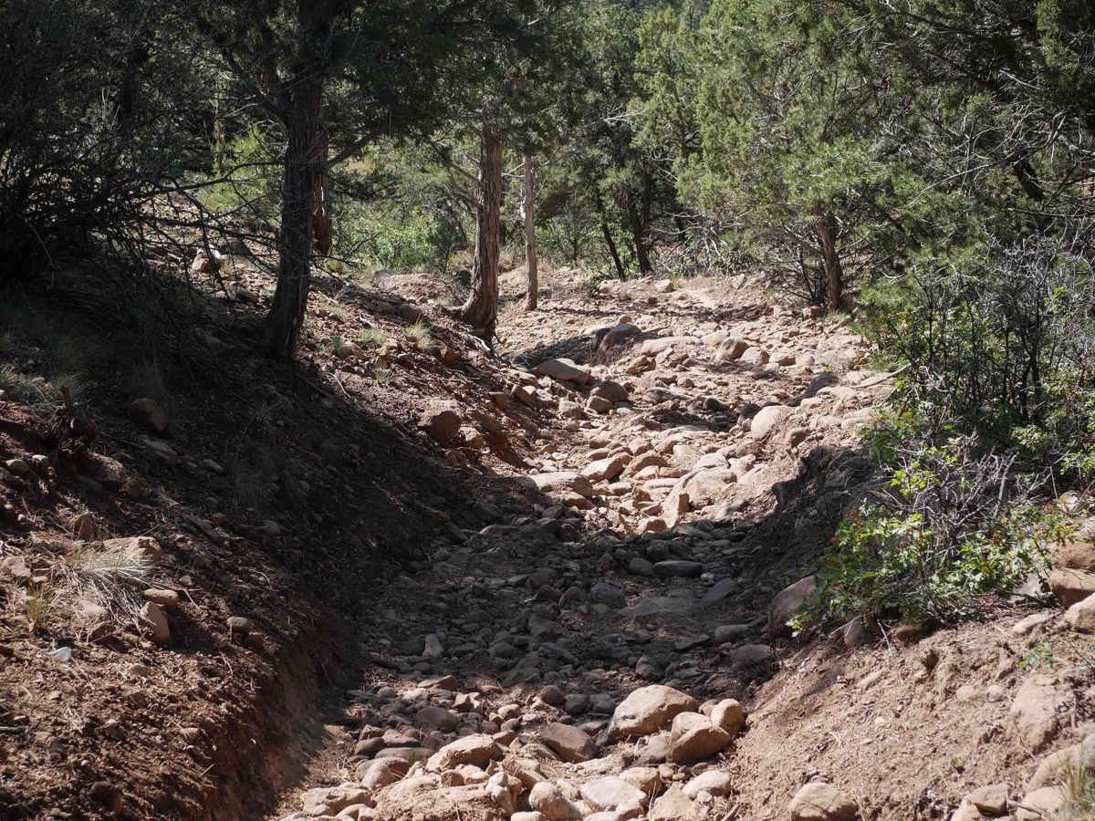
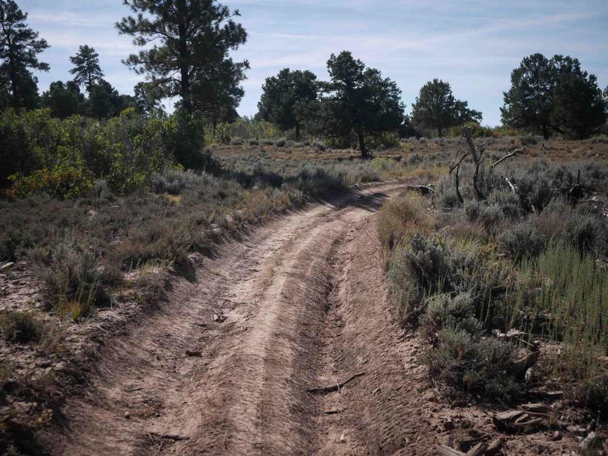
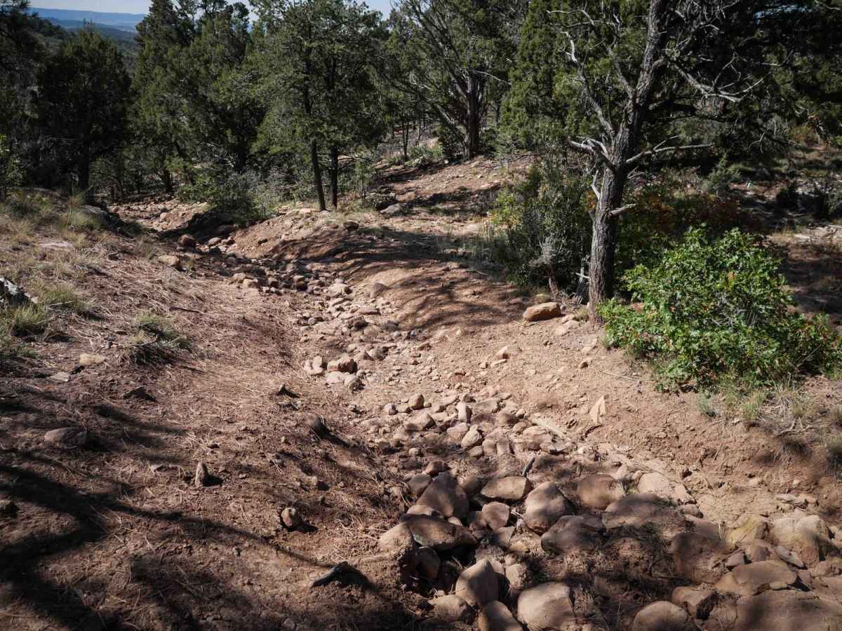
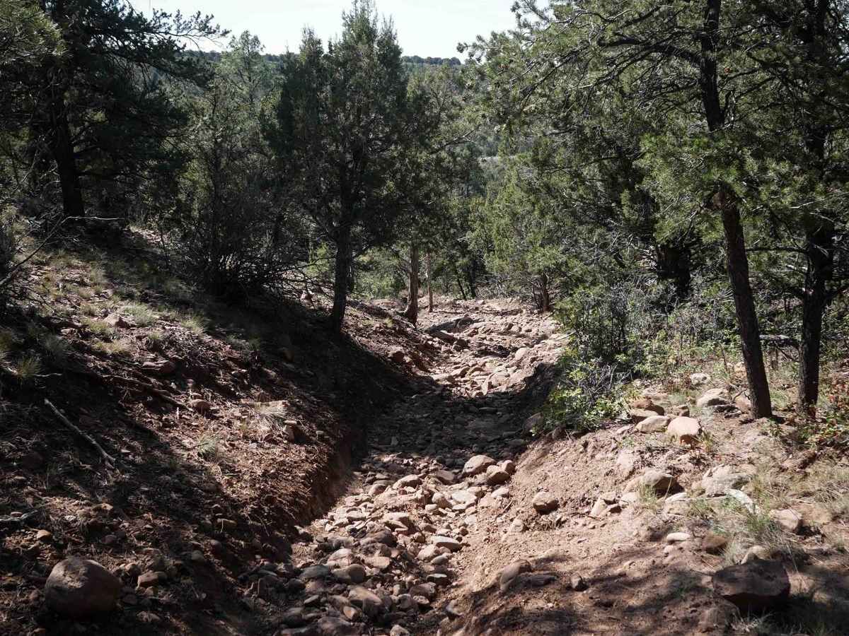
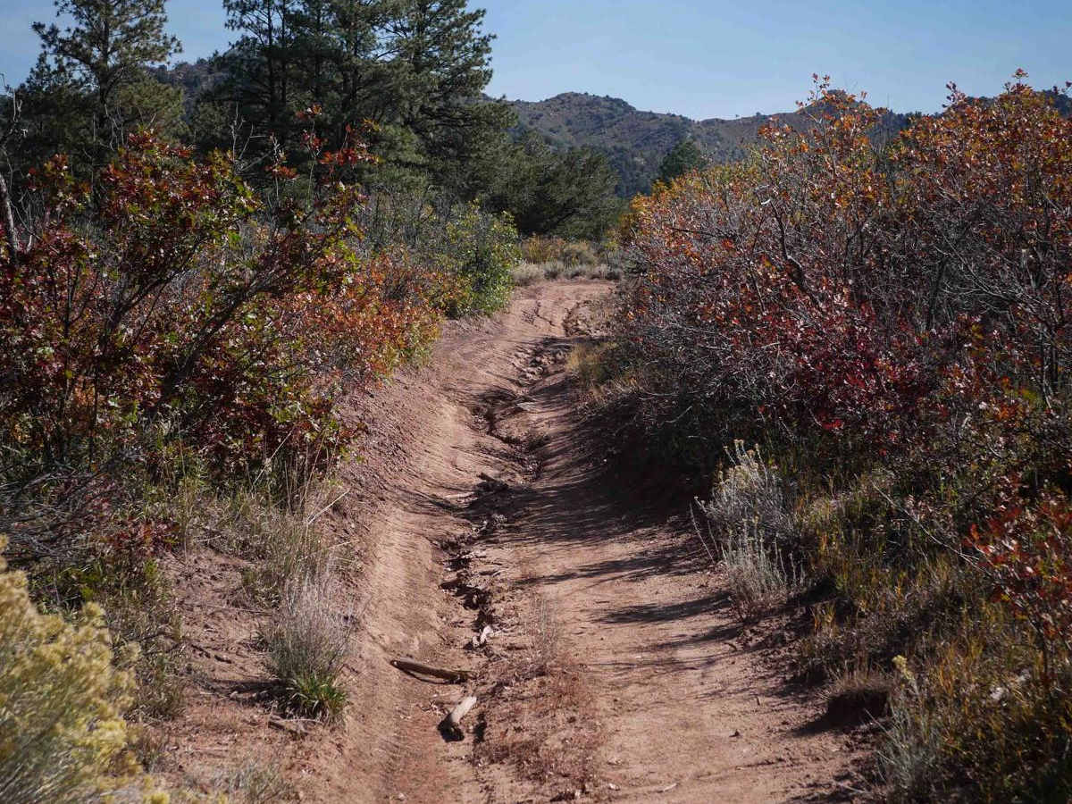
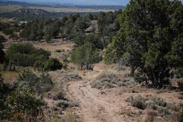
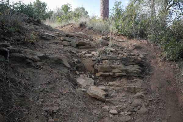
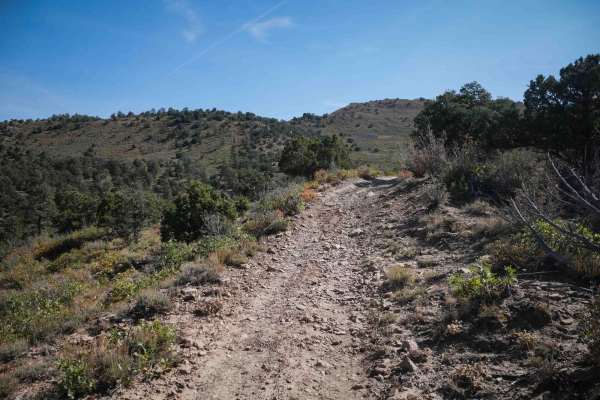
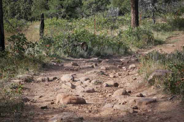
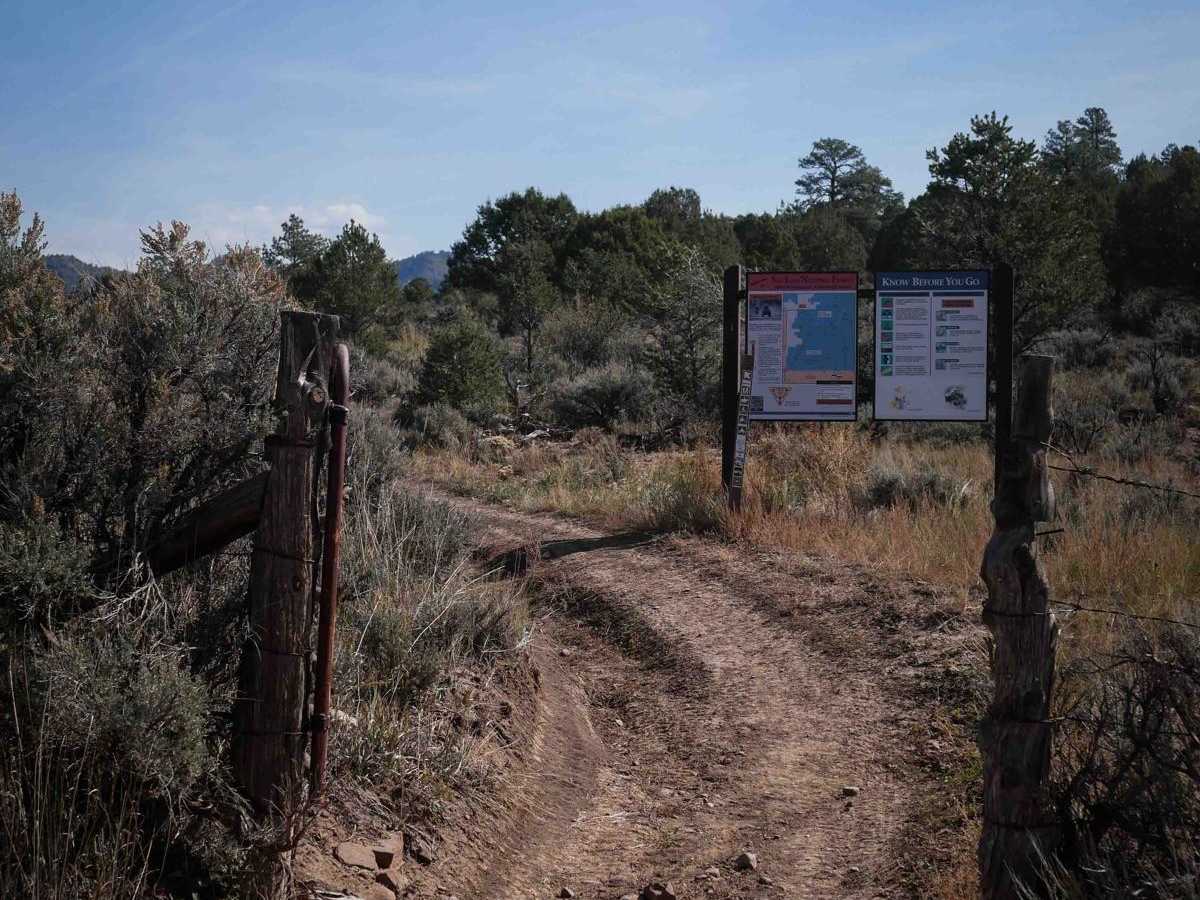
Ute Creek is a 5-mile long ATV trail through the San Juan National Forest east of Bayfield, Colorado. The west end starts off of County Road 525 at a small shoulder, at the big trail sign. It weaves through the oak bushes and pinyon pines, climbing up the hillsides, with loose rocks in the trail. There is a steeper downhill that gets rocky and more challenging as it is steep with a really deep trough to the side, and full of loose softball-sized rocks. Other sections of the trail are really easy though, with long straight sections, and gradually riding up the rolling hills. It crosses intersections with both Reservoir Canyon and Green Canyon ATV trails, which you can make a loop out of. It dead ends in the forest at a non-motorized trail that takes you to an old road.

Photos of Ute Creek

Difficulty

This is an intermediate trail due to a steeper rockier downhill that has loose rocks and a deep trough, but the rest of the trail is easy.

Technical Rating

4

Status Reports

Add Status Report
Joseba Izaguirre
Dec 07, 2024
Open
DustyRough/Deteriorated

Ute Creek Trail can be accessed by the following ride types:

  • Single Track
  • 50 Inch

Ute Creek Map

The onX Offroad Difference

onX Offroad combines trail photos, descriptions, difficulty ratings, width restrictions, seasonality, and more in a user-friendly interface. Available on all devices, with offline access and full compatibility with CarPlay and Android Auto. Discover what you're missing today!

Open Trail Map