Trail Overview
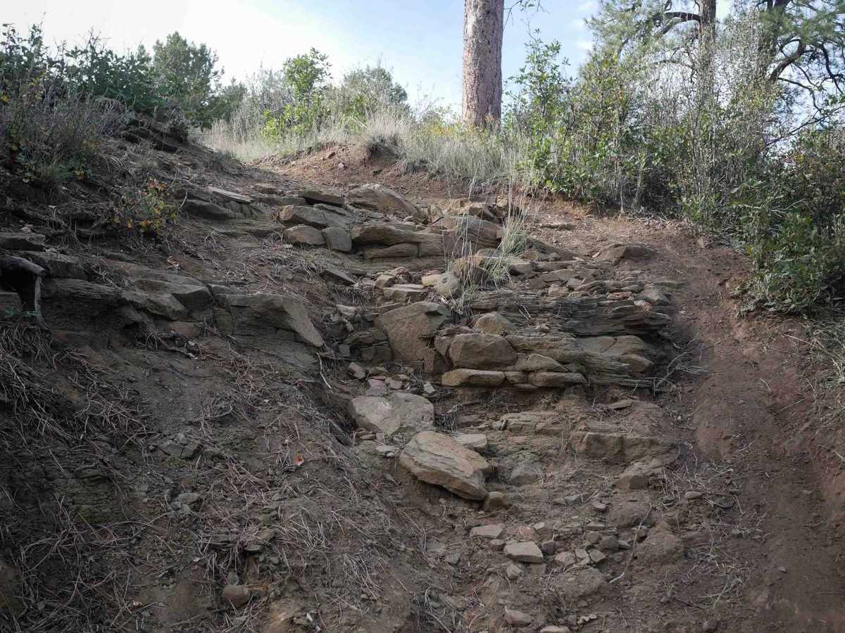
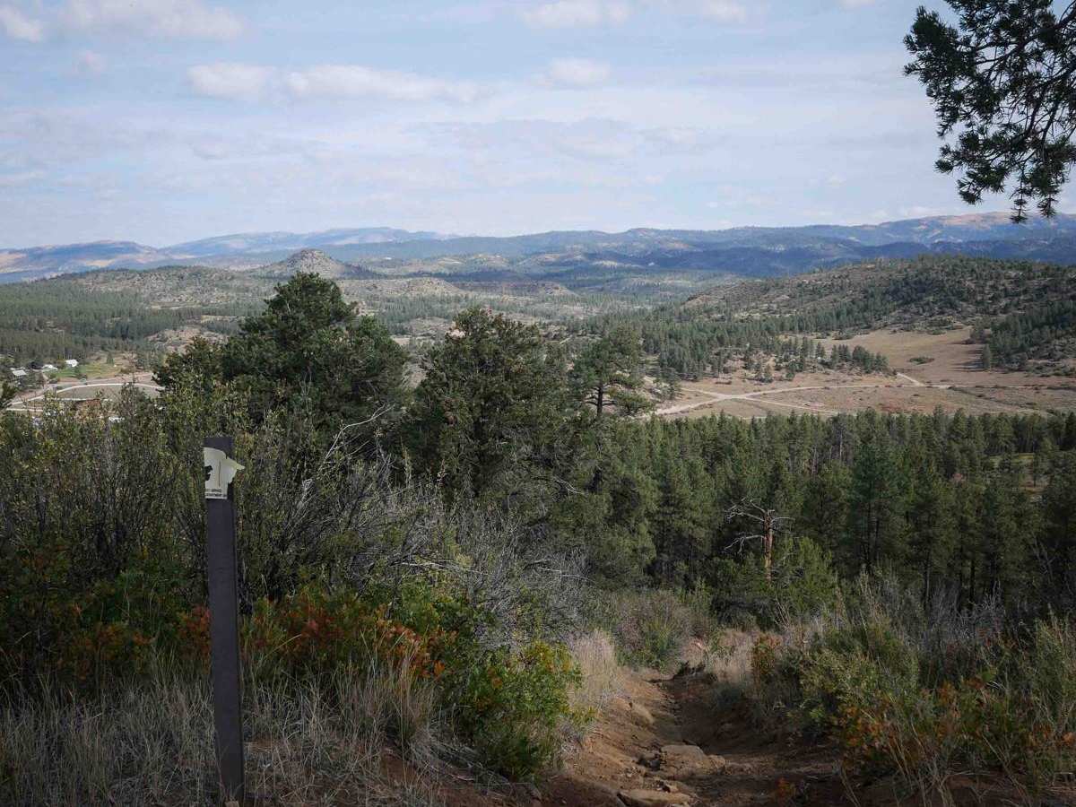
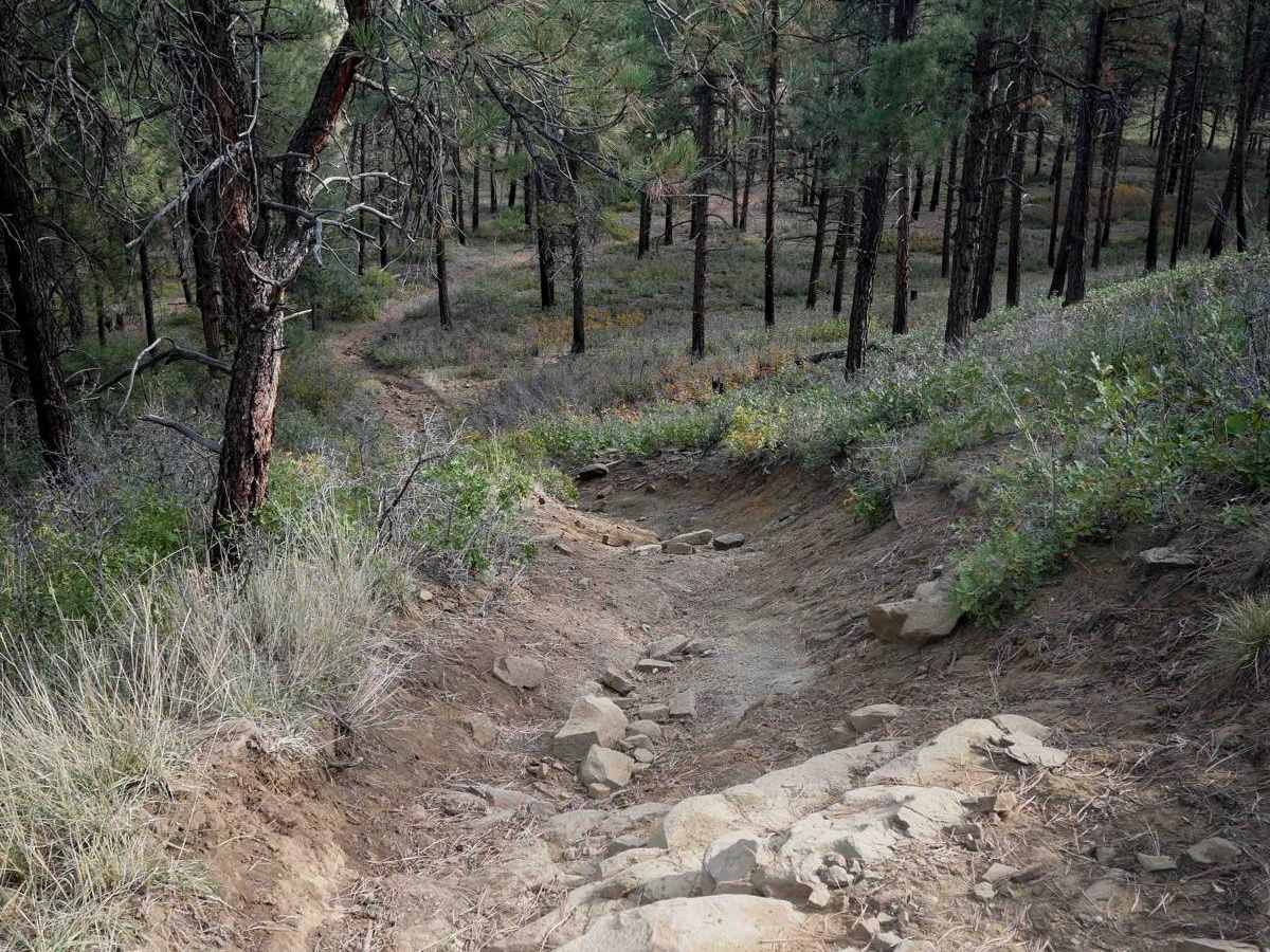
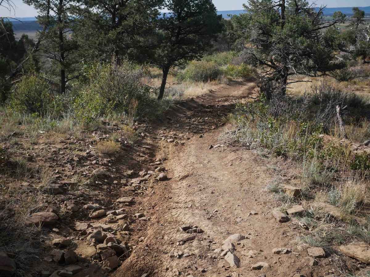
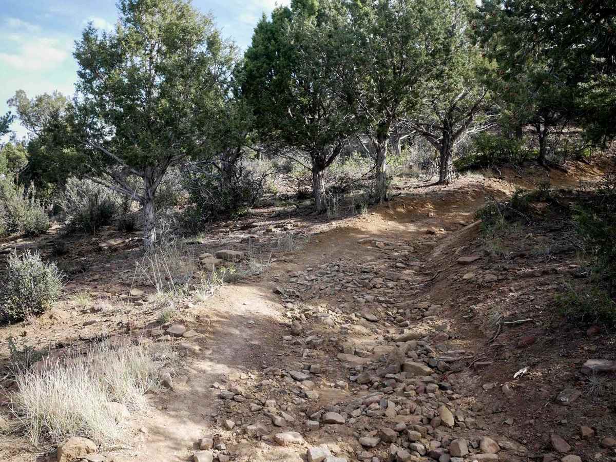
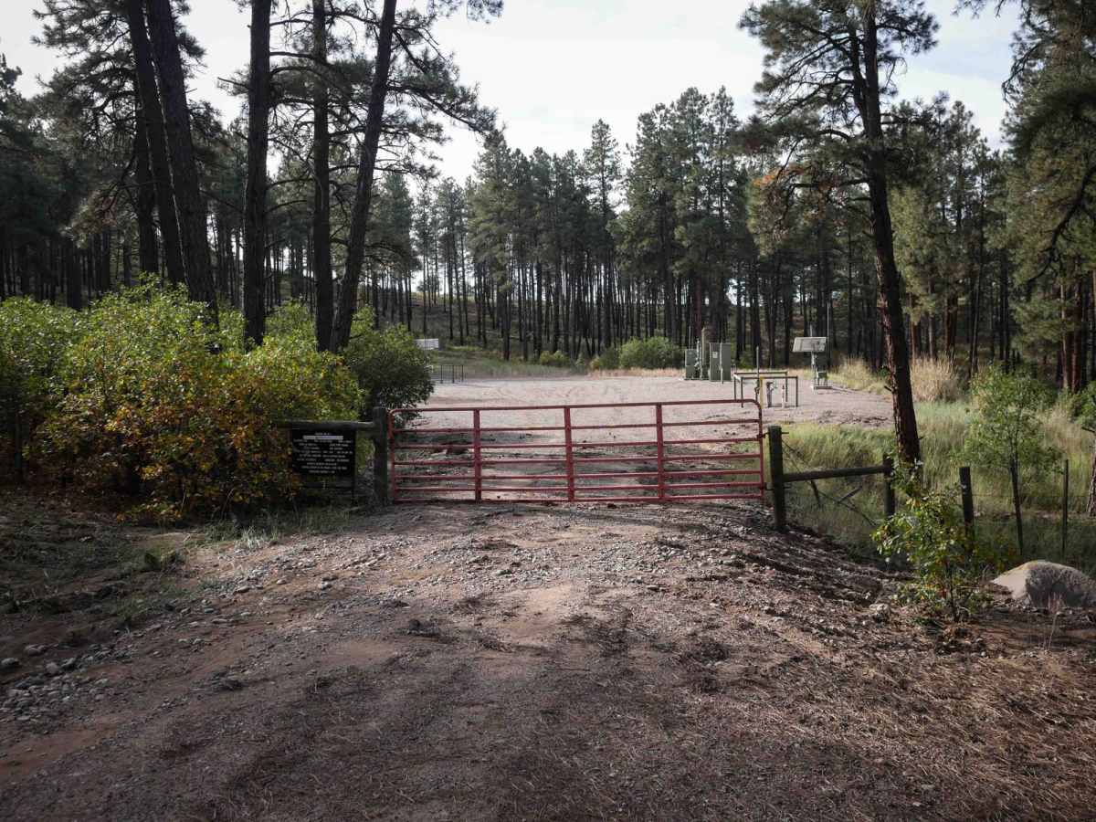
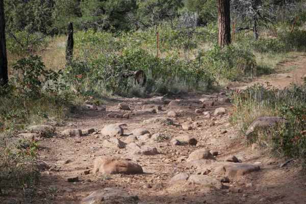
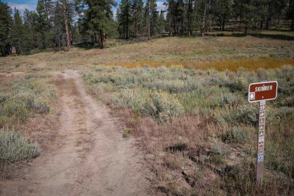
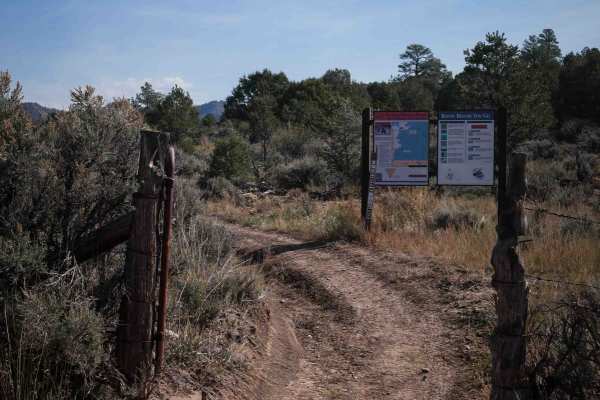
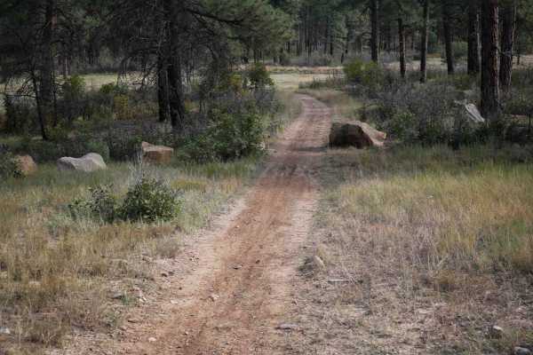
The Ridge ATV trail is 3 miles through the San Juan National Forest east of Bayfield, Colorado. It goes through a low alpine/high desert terrain that can be hot all summer and even late fall. The west end makes a 1.5-mile-long loop, then goes east for another 1.5 miles. The west entrance starts at an oil well. The majority of the trail is a wide path with shallow ruts, some roots, and loose rocks. A lot of it is fast and easy through extensive meadows or sparse forests of ponderosa pine. It curves up the mesa through pinyon pine and sagebrush. It has a few steep rocky hills, making it more of an intermediate trail. It goes down a steep hill with loose rocks, ruts, and small ledges that will be a tricky climb back up. It also has a rocky, steep hill climb on loose dirt. The east end ends on a dirt road next to another oil well.
Difficulty
While the majority of the trail is easy, this is an intermediate trail because there are several hills that are loose and steep and rocky that will be more of a challenge for ATV riders, with rock ledges up to a foot tall.