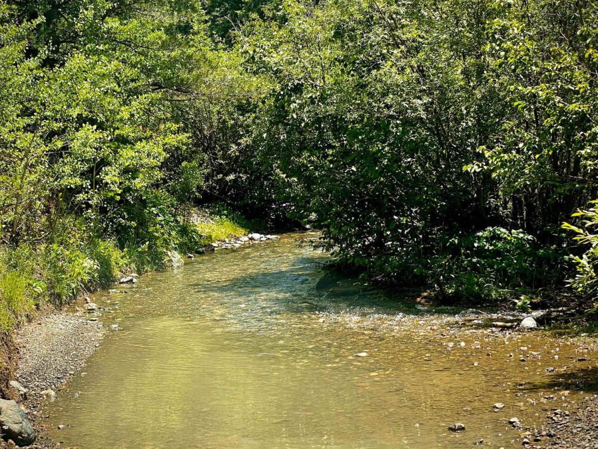
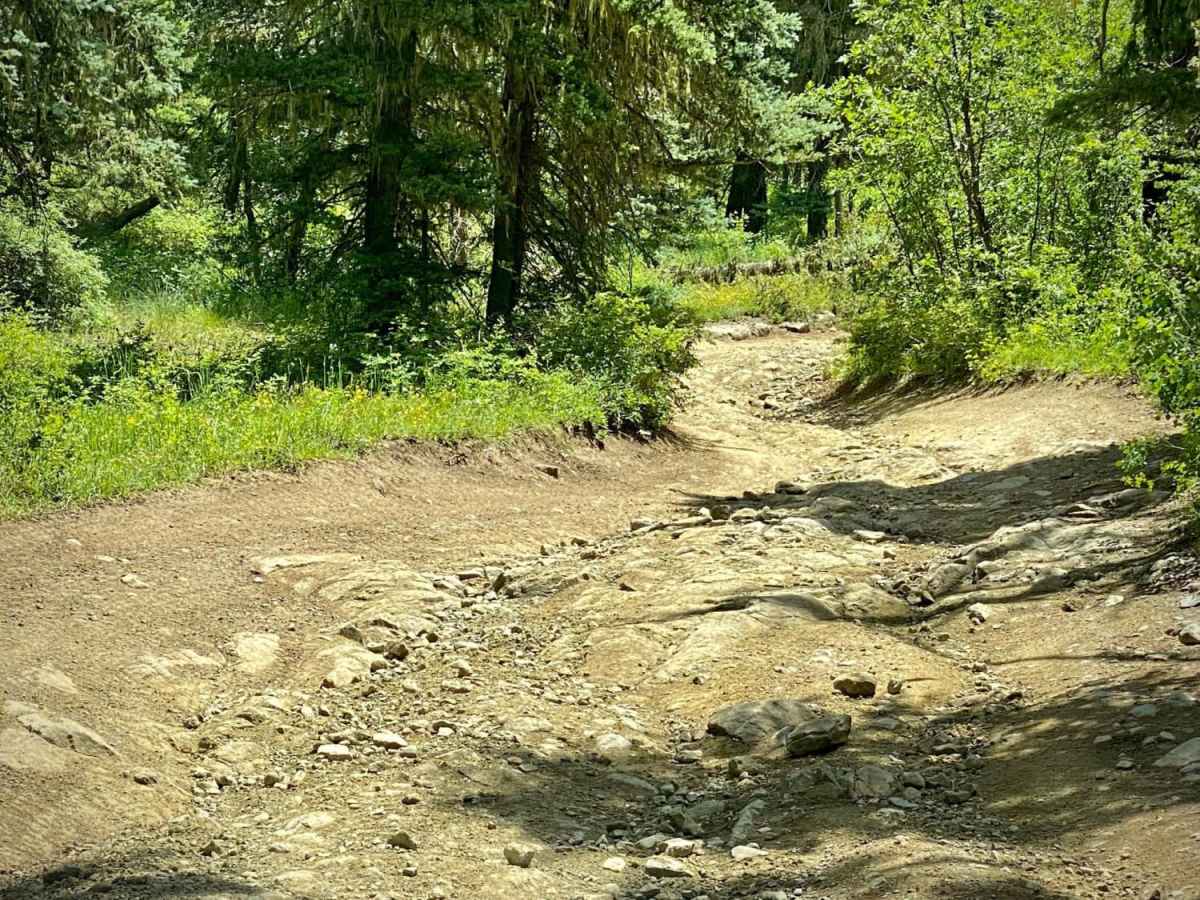
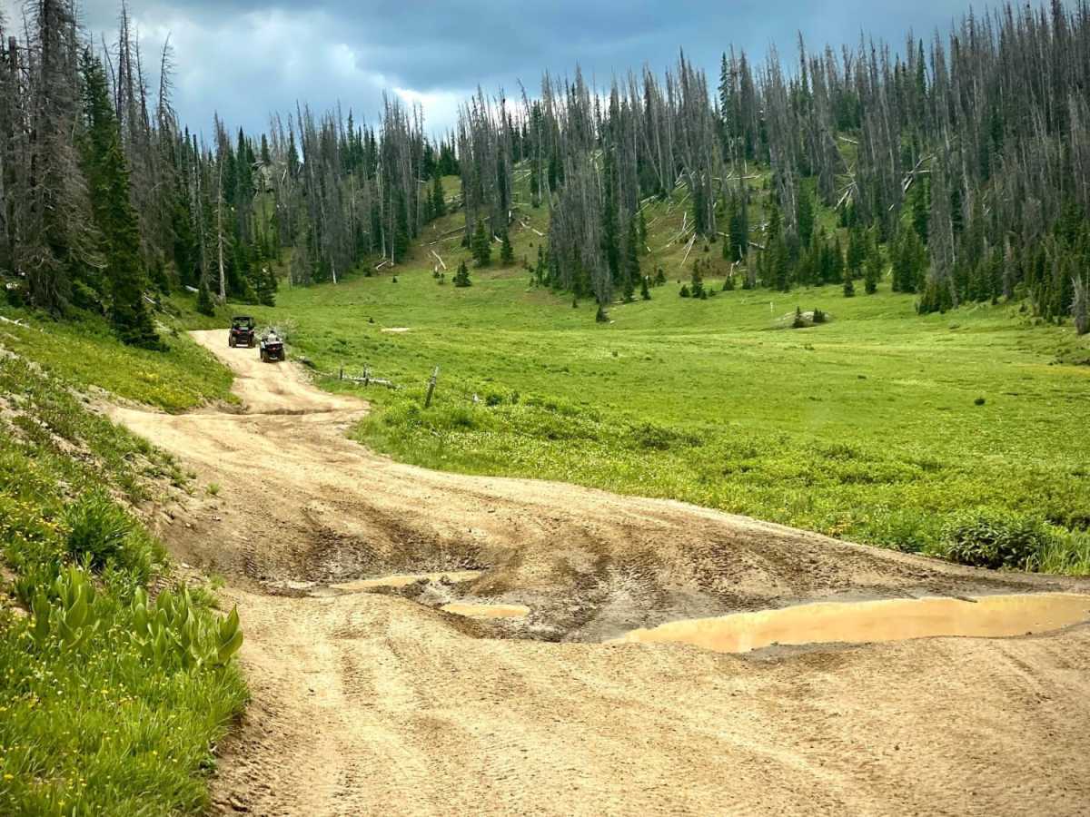
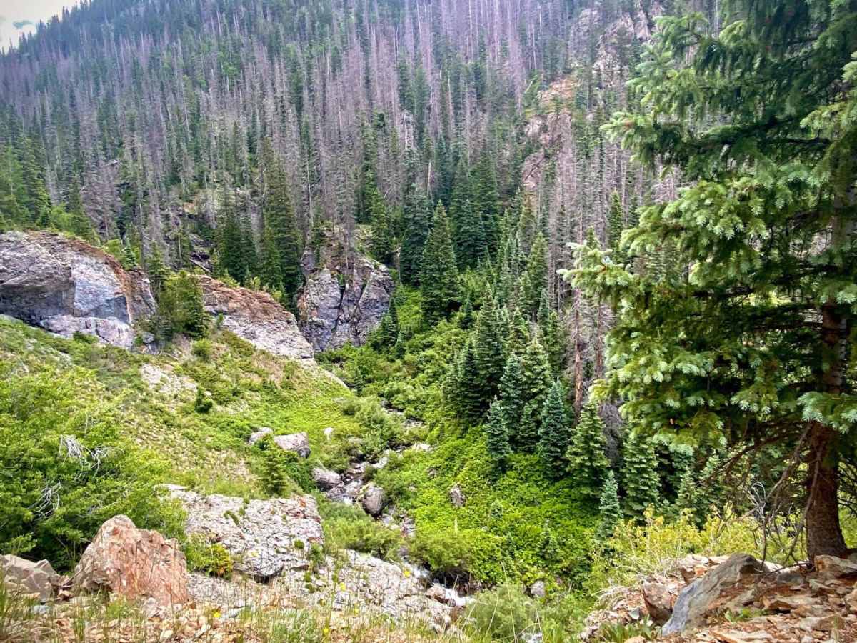
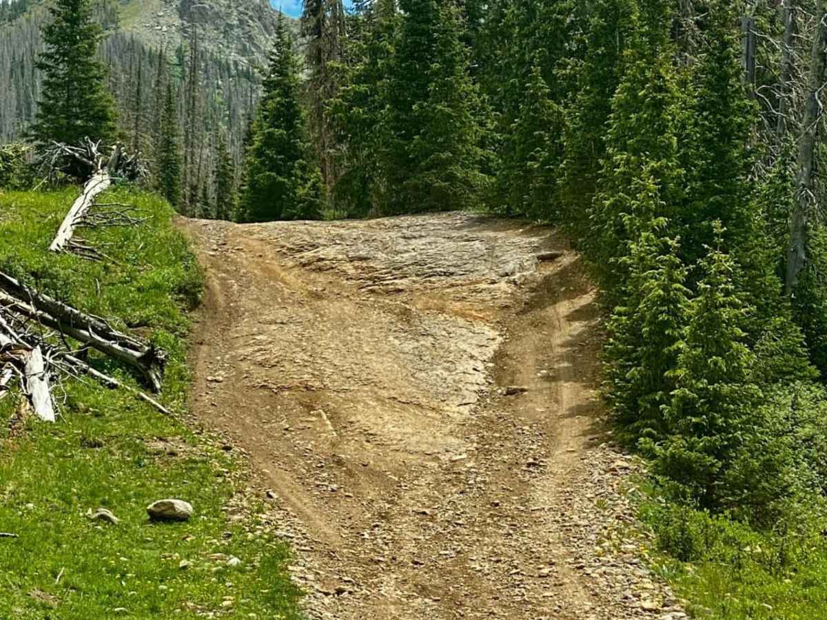
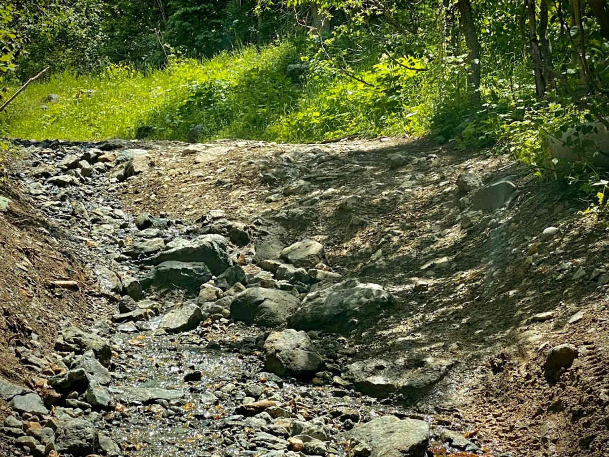
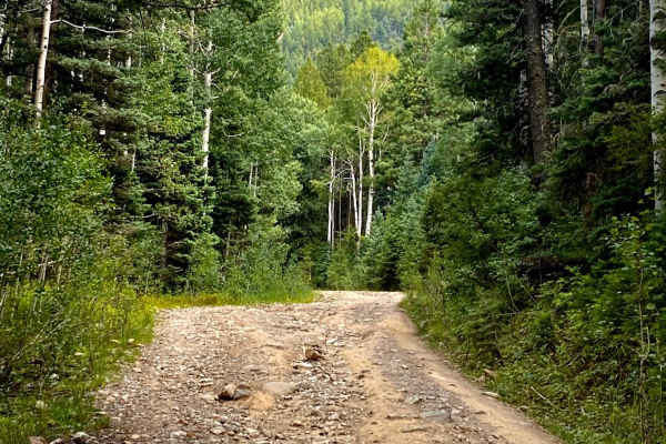
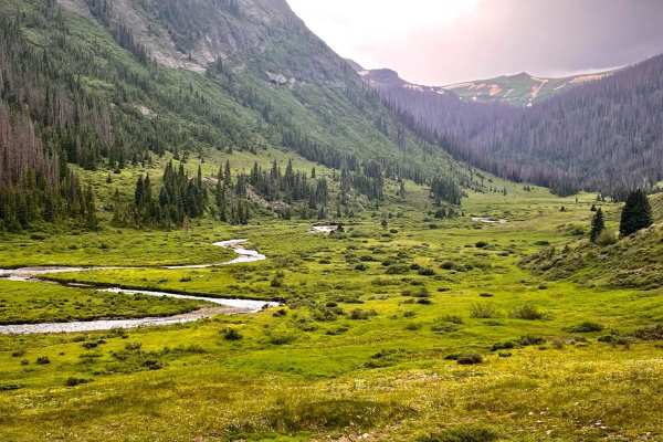
Upper Section of East Fork San Juan River Rd-Fr 667

Total Miles 9.1
Technical Rating
5 Moderate
Best Time Spring, Summer, Fall
Trail Type High-Clearance 4x4 Trail
Accessible By
Open Trail Map

Trail Overview

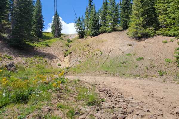
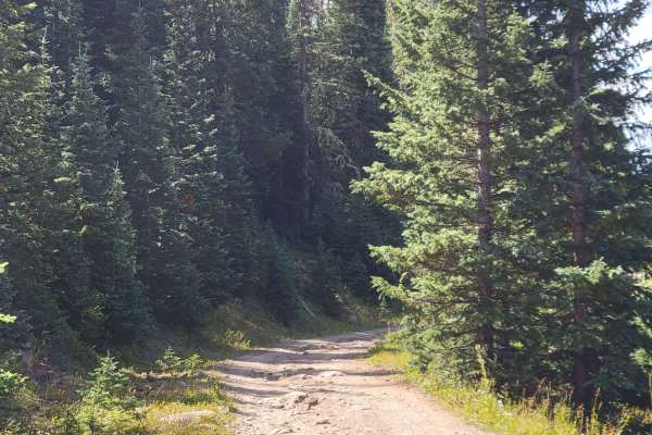
The upper section of East Fork Road starts at the cut off for Quartz Meadow. This is perhaps the only real 4x4 rock climbing trail in the area. There is a sign that says 4x4 recommended, believe it! This is a serious off-road trail which will take you to Elwood Pass and crest the Continental Divide. Driving up the road there will be steep climbs over rocks, narrow shelf roads with drop offs on the side. If here in the spring the road may be flooded with snowmelt runoff and some swift currents at the river crossings. Summer rains can make the road muddy and slippery as well. Sections of the road will have water flowing down them. Remember to keep tabs on pull off spots should someone need to pass. McCormick Cabin will be on your right after driving most of the trail. Following will be couple of smooth rock faces to climb, then it becomes a dirt road which when cresting the hill will reveal a couple of picnic tables, followed by open meadows, Elwood Pass and The Continental Divide. You can choose to turn around and go back down East Fork Rd, however there are a number of trails once up on top. Turning left on Park Creek Rd will take you all the way to Hwy 160, which you can take back toward Pagosa Springs over Wolf Creek Pass. Also, this direction is a turn off for the road to Summitville Ghost Town should you want to explore.

Photos of Upper Section of East Fork San Juan River Rd-Fr 667

Difficulty

Rate this a 4-6. During the spring, snowmelt can turn the roadway into flowing streams and more of a 6. For a stock jeep would rate it a 5, a well built jeep and experienced driver a 4.

History

History of East Fork Road, The East Fork road goes back to the late 1800's. There was a need for a road going into Pagosa Springs from the San Luis Valley for Settlers, Miners and the Army. The wagon trail was started by the Army in 1879, however abandoned before completed, then possibly completed later by private parties, or taken over by the State of Colorado. Maintenance later fell to the counties it crossed through and the road was considered dangerous. There were great hopes for it linking the Elwood Mining Camp, homes in the area and developing more resources. With floods and other problems none of this materialized. Later the road was used for a telephone line and had to be maintained for that. Now a gas pipeline runs alongside the road while it is used by tourists and hunters. As you traverse this area you will be crossing an area of Colorado little changed from the early 1900's. It is rich in history. An excellent reference can be found here: http://pagosasprings.com/the-history-of-elwood-more-than-know/

Technical Rating

5

Status Reports

Add Status Report
david armijo
Jul 25, 2025
Open
trail was fun as usual my favorite trail in pagosa.
william irwin
Jul 22, 2025
Open
Denis Day
Jun 29, 2025
Open
Harrison Kick
Jun 01, 2025
Open
The trail is open all of the way through with a few very small snow patches. The river crossings are a little sketchy with how fast the water is moving but you just need to keep your momentum going and it's easy.
Adam Harding
May 30, 2025
Open
Trail was moderate with lots of small rock gardens and some larger boulders. River crossing were flowing very fast, due to the amount of rainfall. Use caution. The last mile of the trail was covered in snow drifts 3to4ft. We used our winch to pull us through them. If going to try I would advise a winch and airing down.
Chelsea Turner
May 24, 2025
Open
Jordon F
Oct 17, 2024
Open
The trail has gotten worse, washed out and a few places that should not be considered level 5 moderate. Had to turn around due to a high rock climb I couldn’t make.
Barry Raven
Oct 14, 2024
Open
Dry and dusty. Unseasonably warm, not many people. Only saw 1 ATV. Weather is supposed to stay dry for a few more days.
Keaton Kugle
Oct 13, 2024
Open
Robert Dowdy
Aug 03, 2024
Open
We ran this trail East to West. We managed but this trail had several obstacles that tested the rig and my skills. Westbound is mostly downhills. Several SXS and everyone was friendly. I saw one JK headed east and it was the only other non SXS or 4 wheeler on the trail.
Jacob Gale
Jul 18, 2024
Open
Completed in a lifted Tacoma with a small camper on the back. A couple tight spots that a full-size will not fit through without driving through very thick willows. Height was no issue. Little to no turn around options.
Avdon Martinez
May 25, 2024
Open
Several campers on the green part then once we got to the blue part of the trail started getting muddy and rocky wheeled up to the snow pack and decided to turn back down from there
Mark Groves
Aug 20, 2023
Open
Richard Reese
Aug 09, 2023
Open
Saxon Fryar
Jul 08, 2023
Open

Upper Section of East Fork San Juan River Rd-Fr 667 Trail can be accessed by the following ride types:

  • Single Track
  • 50 Inch
  • 60 Inch
  • High Clearance

Upper Section of East Fork San Juan River Rd-Fr 667 Map

The onX Offroad Difference

onX Offroad combines trail photos, descriptions, difficulty ratings, width restrictions, seasonality, and more in a user-friendly interface. Available on all devices, with offline access and full compatibility with CarPlay and Android Auto. Discover what you're missing today!

Open Trail Map