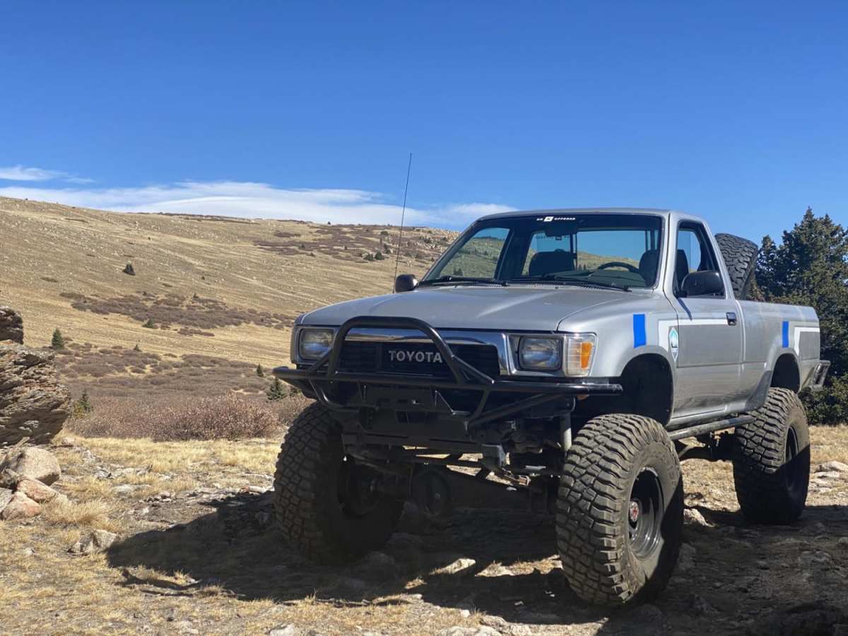
Twin Cone

Total Miles 5.6
Technical Rating
6 Moderate
Best Time Summer, Fall
Trail Type High-Clearance 4x4 Trail
Accessible By
Open Trail Map

Trail Overview

Twin Cone trail lost some of its draw when the USFS gated off the last two miles, which traversed above the treeline to the summit of North Twin Cone at over twelve thousand feet. It still has something for everyone that doesn’t require a serious lifted 4x4 vehicle to navigate. There are a few rocky spots and some mud puddles so extra clearance below is helpful. Not recommended for full size 4x4 vehicles like pickups and large SUVs, since there are a number of tight switchbacks in the trees and a number of taller water runoff berms that could cause clearance problems. 
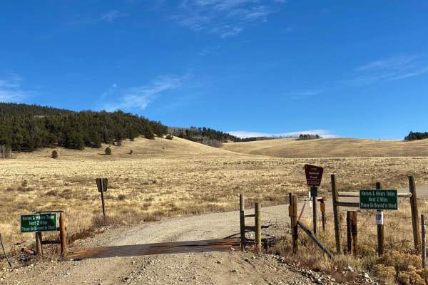
The trail starts at the Kenosha Pass campgrounds on the east side of Highway 285. If you start down the wrong path it will become obvious soon as you won’t get too far. There is parking and pit toilets at the trailhead. A short distance in the trail passes through several sections of private property. An unlocked but closed gate at the first property is your signal that you are crossing onto private property. Please be respectful and rechain the gate after you pass through and don’t wander off the trail or try or camp or explore until the trail returns to USFS-managed land. There are the remnants of a gate and a small yellow sign indicating that you have exited private land. If your current version of OnX Offroad includes property boundaries and owner information you’ll be able to see where each parcel of private property is along the trail. 
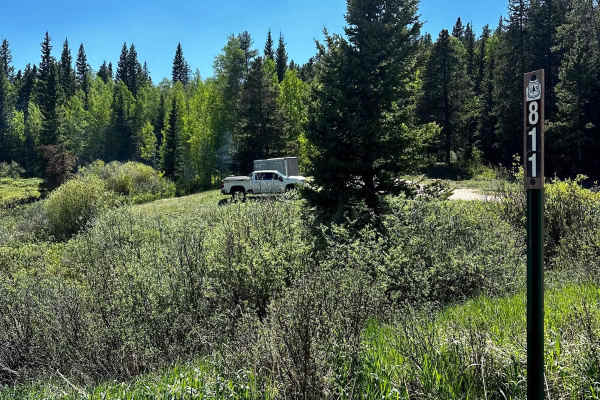
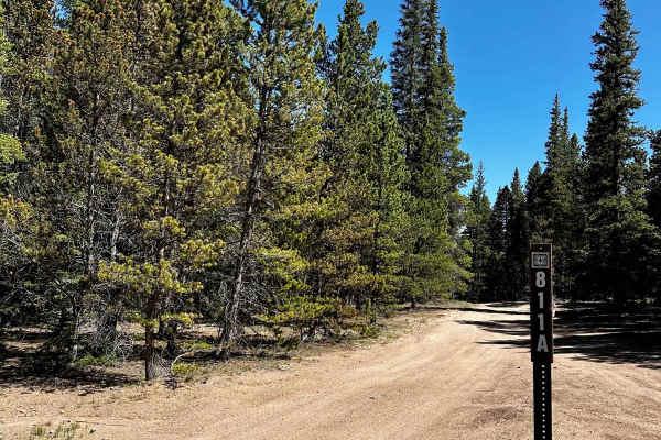
The first mile or so of the trail is flat and wide dirt, which changes to rougher dirt and rock mix once you reenter USFS land. Just over a half mile in, there are several established primitive camping areas that are large enough to support a small camper or several tents. 
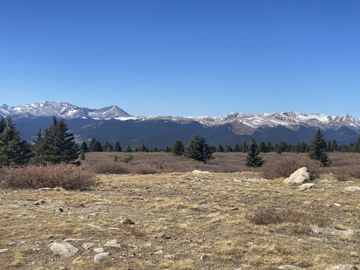
About a quarter mile beyond the end of the private property, the trail begins a significant climb, gaining nearly 600 feet in altitude through ten switchbacks. This section used to be a beetle kill area almost devoid of trees. Now the Aspens have filled in most of the missing pines, and it should be a delight during the color change in September. The remainder of the trail up to the USFS gate is through a section of mixed pine and aspen with a number of lookout spots and primitive camping spots. Several of the overlooks provide stunning vistas over the northern end of the South Park valley with the Collegiate Peaks in the distance. Even though the old section above treeling is no longer accessible by motorized vehicles, the opportunity to explore the alpine forest and camp with breathtaking views is unmatched.

Photos of Twin Cone

Difficulty

Rocks and steep climbs and ledges

Technical Rating

6

Status Reports

Add Status Report
Chad
Jun 04, 2026
Open
The closure at the second gate looks permanent. The road above the gate is eroded in some areas that would make this section pretty difficult (harder than 6) if it was open. I don't imagine it will be reopened and the trail's end should be considered at the gate, so in that context it is not obstructed. The trail to the gate is fairly easy, I would put it at a 3. A higher clearance vehicle can do it without 4wd if it is dry. A lower clearance SUV/ crossover would struggle with some of the water bars and rocks.
A F
Sep 25, 2025
Open
Hidden gem. open for the first 5 miles. you may go through the first gate, just close it behind you. Tragically closed at the second gate due to trail braiding and people going off trail. there are just a few large rocks starting at the switchbacks that will require a high clearance vehicle. there is only one spot near the 2nd closed gate that merits a 4 difficulty. perfect beginner trail. Worth the hike to North Twin Cone Peak where you can see the entire south park basin, tenmile range, fairplay, and even pikes peak. It is peak leaf peeping season and there were over 100 cars lining Kenosha pass and the campground. past the 1st gate I had it all to myself except for a few sedans moping about the first flat mile by the time I got down. expect heavy traffic
Doug Strahm
Aug 31, 2025
Open
NOTE: A number of trail reports have been listing this trail a Temporarily or Permanently closed which imo leads people to incorrect conclusions about whether or not to run the trail. The US Forest Service HAS erected a substantial gate at GPS 39.4148, -105.7013. This point is at 5.4 miles from the trailhead. As for the trail conditions-given that almost an inch of rain has fallen in the last week-were excellent.
Nick S
Jul 13, 2025
Open
USFS locked gate and signage indicating that the trail is no longer open to motorized vehicles from just below tree line to the top of Twin Cone.
Trent McConkey
Jun 21, 2025
Open
The reports are still accurate. It’s NOT FULLY open. The top 1/4 is closed off with a gate and signs for no motor vehicle access. The open part of the trail is very easy.
Colin Arner
Oct 13, 2024
Open
3/4 way up gate is closed and forest service signs saying no motor vehicles. Getting to gate is a 3 or 4 trail
Dmitriy Maksimenko
Sep 27, 2024
Open
Beautiful scenic drive. Lots of people heading up in evening for camping so just be careful one way road. Nothing technical any stock vehicle with decent 4WD will be fine especially when dry.
Joshua Bartels
Jul 24, 2024
Open
Permanent closure just below tree line at 39.41467, -105.70124. There is a lower gate as well, were it passes through private property, which is NOT a closure. You can open and close this gate on your own.
John marsella
Jul 06, 2024
Open
The first 5ish miles of the trail are open but the upper gate that would lead to the part of the trail above tree line is closed. Apparently this is permanent since 2016-17.
Graeme M
Oct 23, 2023
Open
Jimmy Nguyen
Sep 12, 2023
Open
Rory R
Jun 10, 2023
Open
Ranger Rick
May 27, 2023
Open
Michael Simoneaux
Apr 15, 2023
Open

Twin Cone Trail can be accessed by the following ride types:

  • Single Track
  • 50 Inch
  • 60 Inch
  • High Clearance

Twin Cone Map

The onX Offroad Difference

onX Offroad combines trail photos, descriptions, difficulty ratings, width restrictions, seasonality, and more in a user-friendly interface. Available on all devices, with offline access and full compatibility with CarPlay and Android Auto. Discover what you're missing today!

Open Trail Map