Transfer Trail

Total Miles13.8
Technical Rating
6Moderate
Best TimeSummer, Fall
Trail TypeFull-Width Road
Accessible By
Open Trail Map

Trail Overview

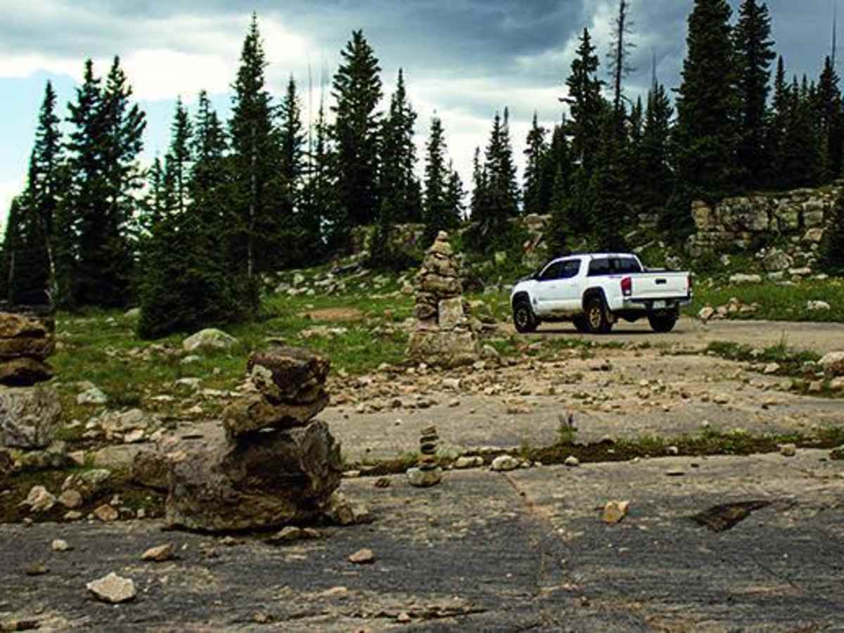
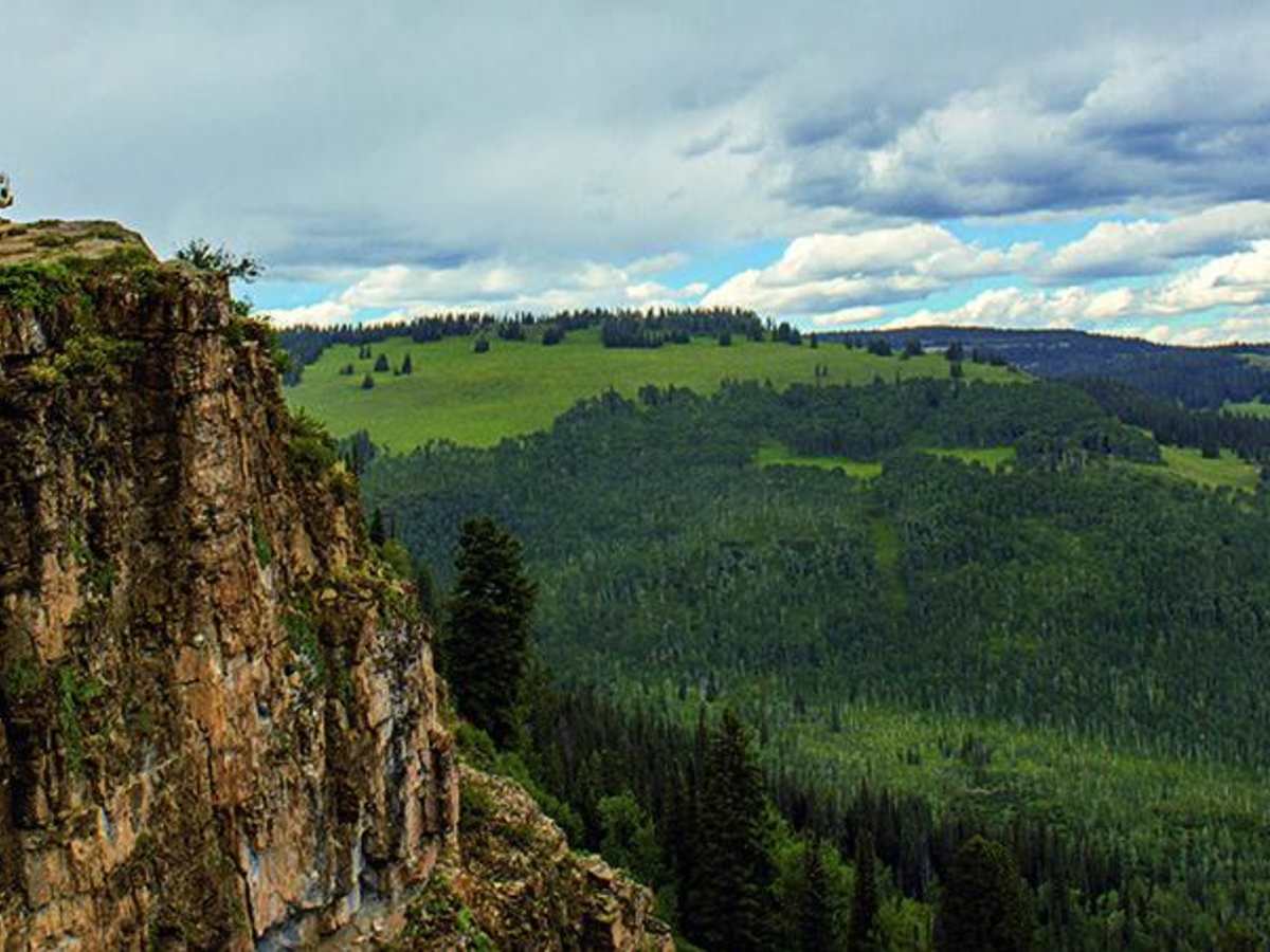
Riders can start from the top or bottom of this trail, but OHVs and dirt bikes may want to start at the bottom where there's a staging area and fun spur trails to ride. Camping options at the top with beautiful vistas at Windy Point. Open end of May to mid-November.

Photos of Transfer Trail

Difficulty

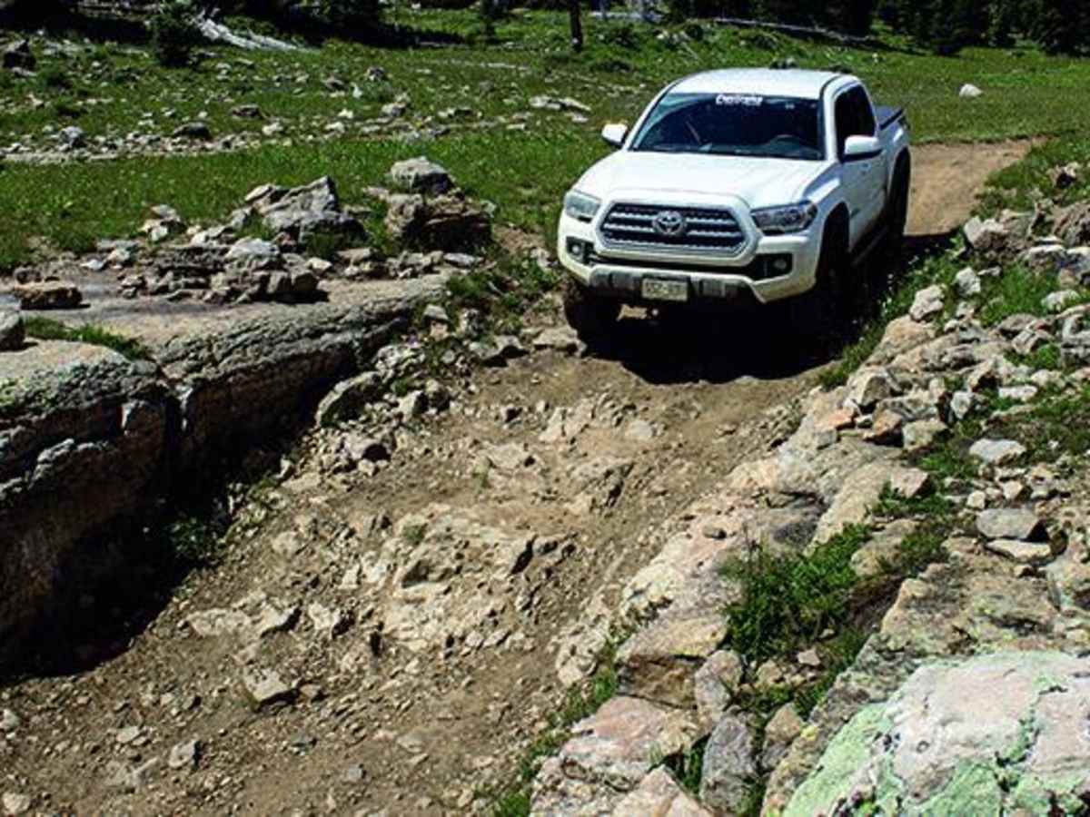
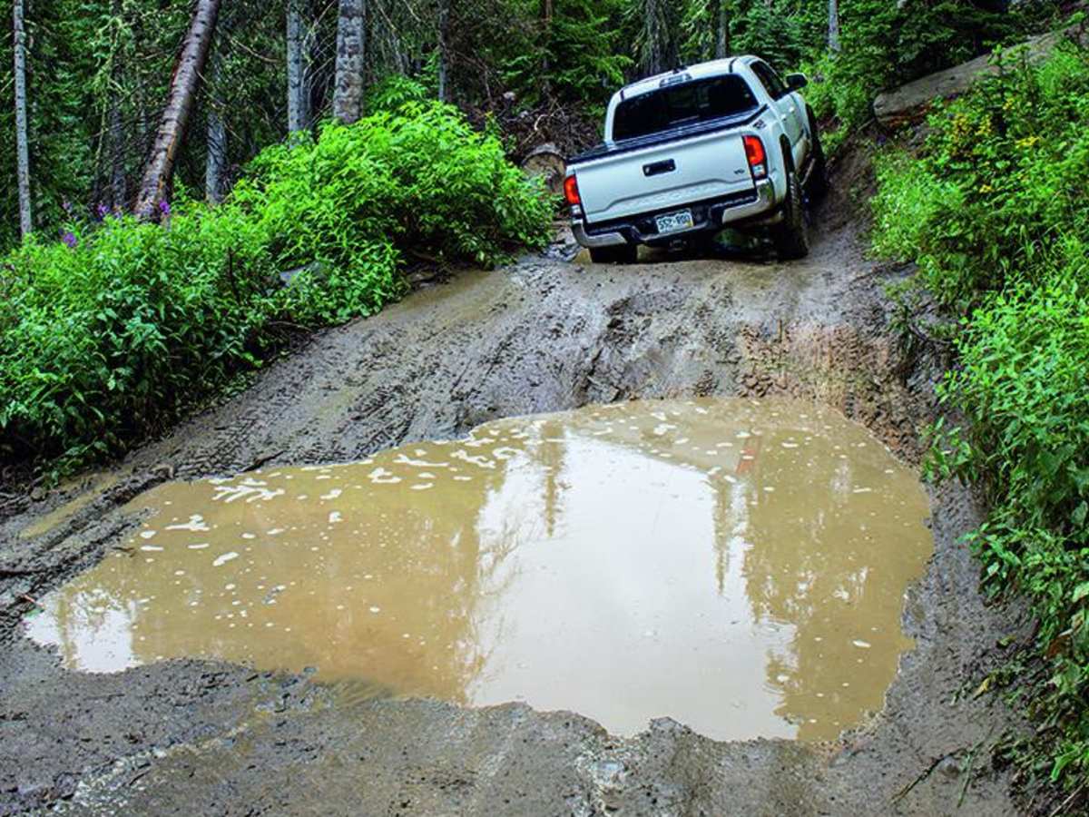
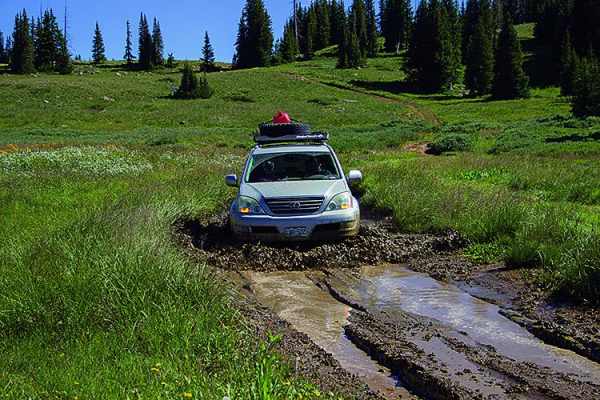
Difficult. Trail is very steep and narrow at the bottom with tight brush in places. Above Windy Point, mud is the challenge. We did it downhill in our stock Tacoma TRD and had no problems. Some driving experience is recommended, especially going uphill.

Technical Rating

6

Status Reports

Add Status Report
Brian Berge
Sep 28, 2025
2019 Chevrolet Colorado
Open
Normal
Took around 3.5 hours from Gallagher Lake down to the trailhead in glenwood. We dragged the rock sliders a few times but nothing too bad. The most technical rocky stuff is up near the top, muddier around windy point
Rick Harrison
Jul 19, 2025
2019 Jeep Grand Cherokee
Open
Dusty
Very deep but dry ruts many erosion control swells to cross over. Trailhawk with air suspension up all the way never scraped but it’s slow going. Few rough rocky spots but no issues. Stopped to camp N of windy point adding this report now as any further N we go we will loose cell service.
Nathan Levi
Jun 12, 2025
Open
Due to time constraints we only went up to the Windy Point Bypass and turned around. Muddy and rutted in spots but nothing too technical. 2021 Tacoma with 3” lift & BFH KO2 cleared everything. Would love to come and make the full pull on this trail at sometime, because we didn’t do the whole trail we probably avoided most of the challenging sections.
Graham Kilgore
Jun 05, 2025
Obstructed
Deep SnowDowned Tree
Snow and downed trees (several) close to mile 7 I believe(forgot to mark the exact mile). Also, my Tundra did great on this trail, but not sure I’d do it again, this trail is narrow.
Noah Valencia
May 26, 2025
2024 Can-Am Maverick X3 Max RR
Open
NormalMuddy/WetSnow/Ice
Little muddy. Ran into snow had to turn around.
steve h
May 23, 2025
Open
Dan Blonder
May 17, 2025
Temporarily Closed
Seasonal Closure
Gate closed
David Hodgson
Nov 17, 2024
Obstructed
Deep Snow
Easy trail, muddy then snowy. Deep drifts across shelf road. Likely closed until melts.
Doug Simpson
Jul 23, 2024
2020 Nissan Frontier
Open
DustyRough/Deteriorated
John Patterson
Jul 22, 2024
Open
Muddy/WetRough/Deteriorated
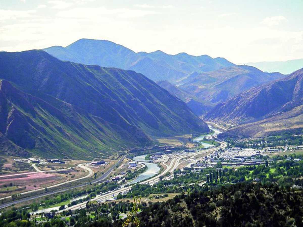
Long trail with a narrow, steep initial climb out of Glenwood Springs. Rocky, muddy and rutted in several areas. Only one obstacle on a rocky hill climb that we elected to use the nearby bypass on. Otherwise very scenic with numerous camping options along the route. Very lightly trafficked.
Kris & T Hob
Jul 03, 2024
Open
Muddy/Wet
Lots of mud and water on trail! Beautiful as always. Made it to the lake and then headed back.
Kristin Ventura
Jun 29, 2024
Open
Muddy/WetRough/Deteriorated
Do not do this alone. Do not do this unless you and the 4x4 can swim. Do not do this if you have a heart condition or panic attacks. Do not run this trail.
Jacob pontes
May 24, 2024
Open
Muddy/WetSnow/IceRough/Deteriorated
Trail was open but lots of snow on the trail making some obstacles extremely difficult. Deep ruts filled with mud also present. Only passable for very well built vehicles and it is not advised to travel alone. Should be clear with 1-2 weeks of good weathe.
Adam Wibby
May 03, 2024
2023 Toyota 4Runner
Temporarily Closed
Seasonal Closure
gate is closed to 4x4 until May 20th
D McL
Nov 04, 2023
Open
Muddy/Wet

Transfer Trail Trail can be accessed by the following ride types:

  • Single Track
  • 50 Inch
  • 60 Inch
  • High Clearance
  • Full Width

Transfer Trail Map

The onX Offroad Difference

onX Offroad combines trail photos, descriptions, difficulty ratings, width restrictions, seasonality, and more in a user-friendly interface. Available on all devices, with offline access and full compatibility with CarPlay and Android Auto. Discover what you're missing today!

Open Trail Map