Trail Overview
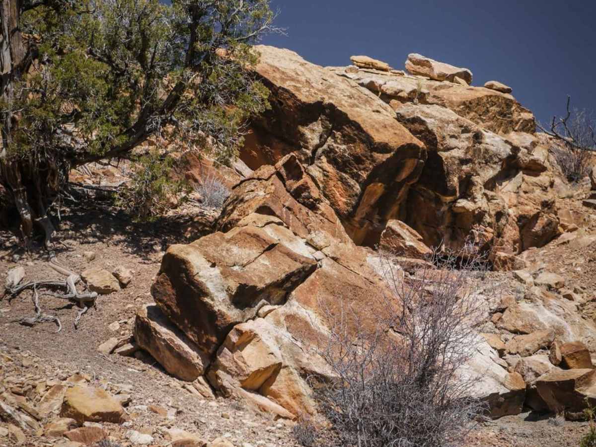
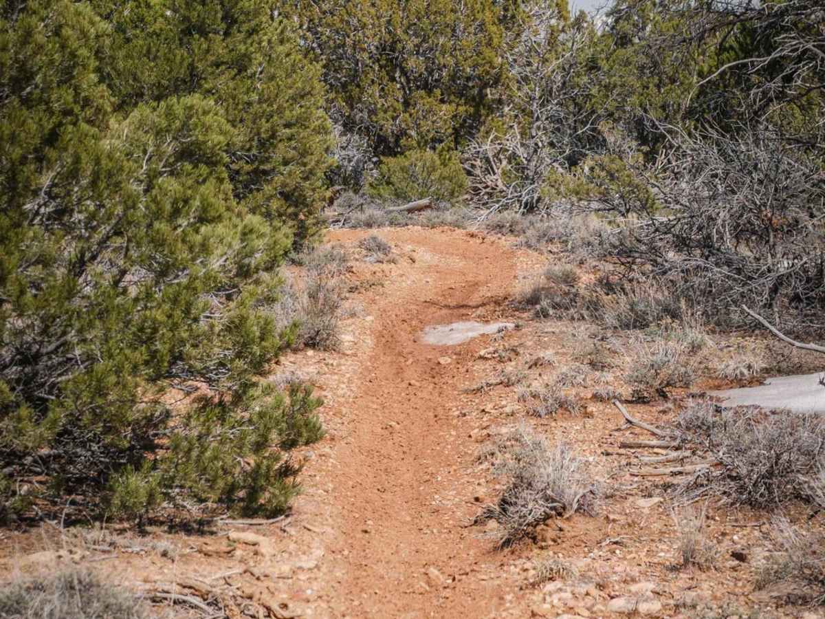
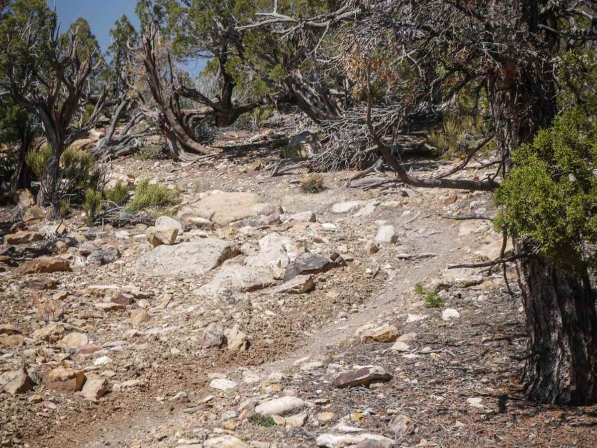
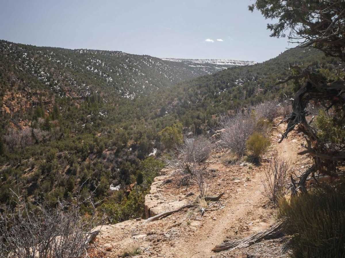
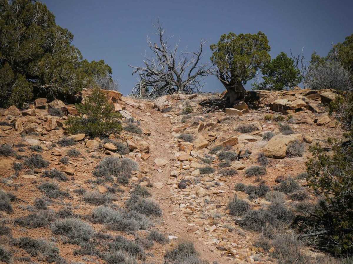
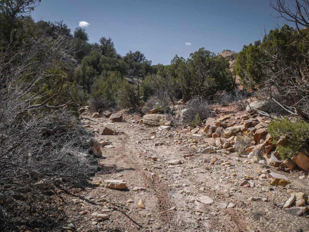
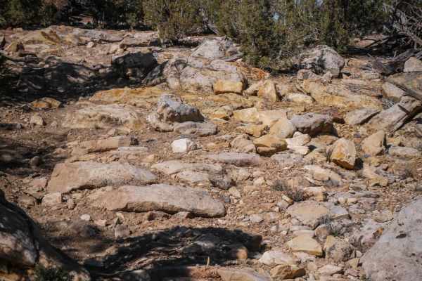
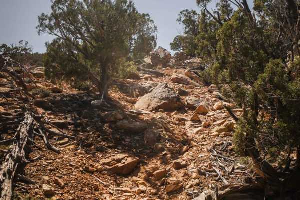
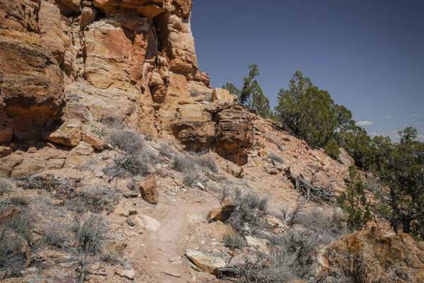
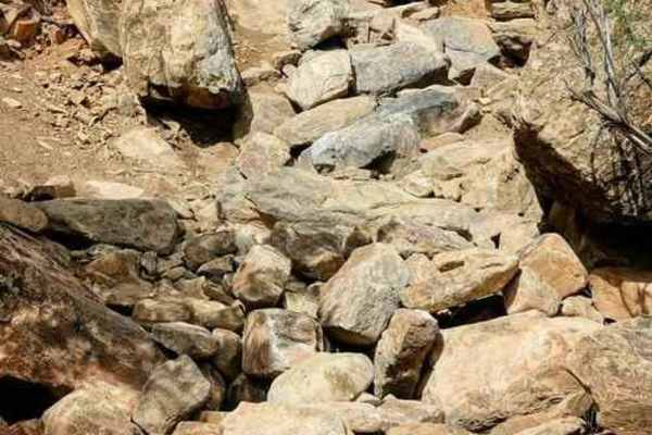
Toldja Trail is a fun desert single track that loses (or gains) 1000 ft elevation over the 3.7 mile trail. If starting from the south trailhead on Cowpoke Gulch Road, it immediately starts descending over a series of steep and tight turns on loose dirt with small rocks. It's a very steep descent, often with larger rocks in the trail, and pinyon pine lining the trail, making it very tight and narrow. The rest of the trail is a more gradual decline, but is still a series of climbs and descents over the rolling desert mesas. It drops into rocky dry creek beds when it crosses from one mesa to the next. There are some moderate rock ledge obstacles, but they are mostly like ramps so they are not too difficult. The trail goes along the edge of the mesa at times too, overlooking the red rock rim of the canyon below you. There is some side-hilling with moderate ledge exposure but only for short distances. Also, since the south trailhead is in higher elevation, there's a chance for patches of snow and mud in spring, but most of the rest of the trail will be dry even if there is snow at the entrance. The trail ends at the intersection with Fenceline and Pork Chop trails, which are only indicated with arrows rather than trail name markers. This trail is one of the less trafficked trails in the trail system because you have to go out of your way on the road to get to it.
Difficulty
Moderate rock ledges, steep grades, rock pinches and tight twisty curves make this an intermediate trail.