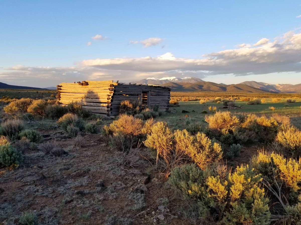
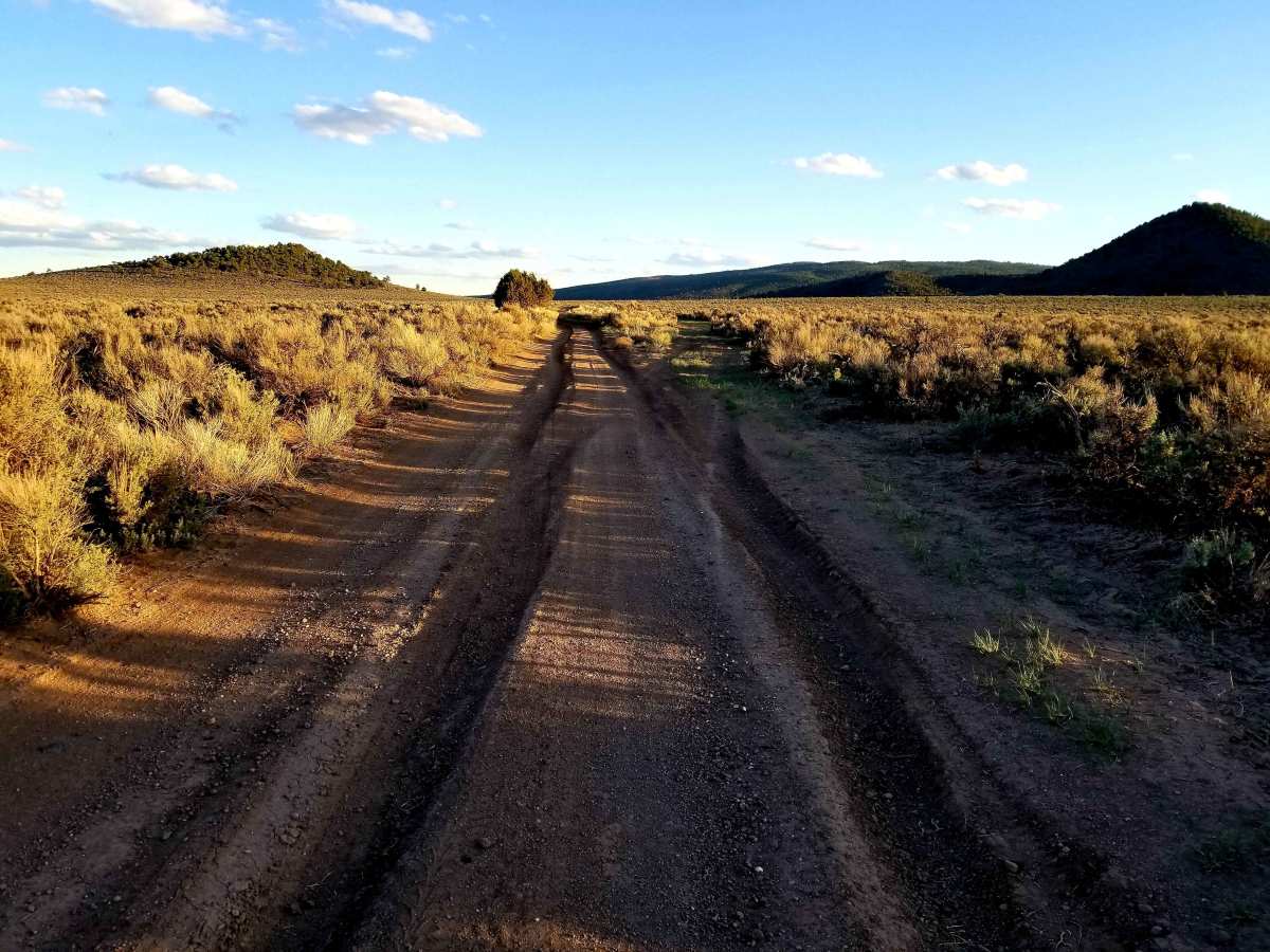
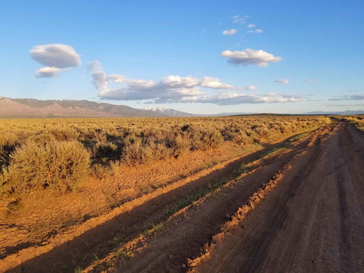
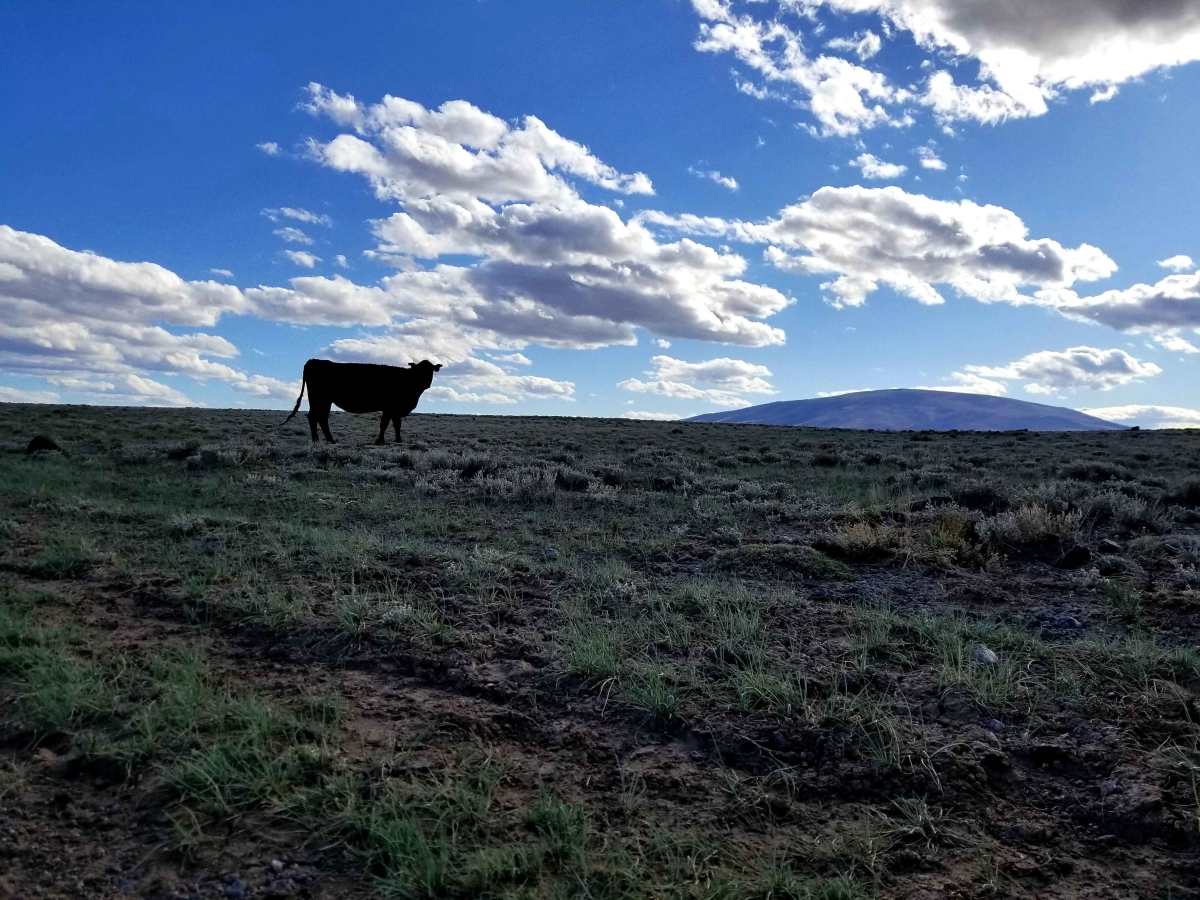
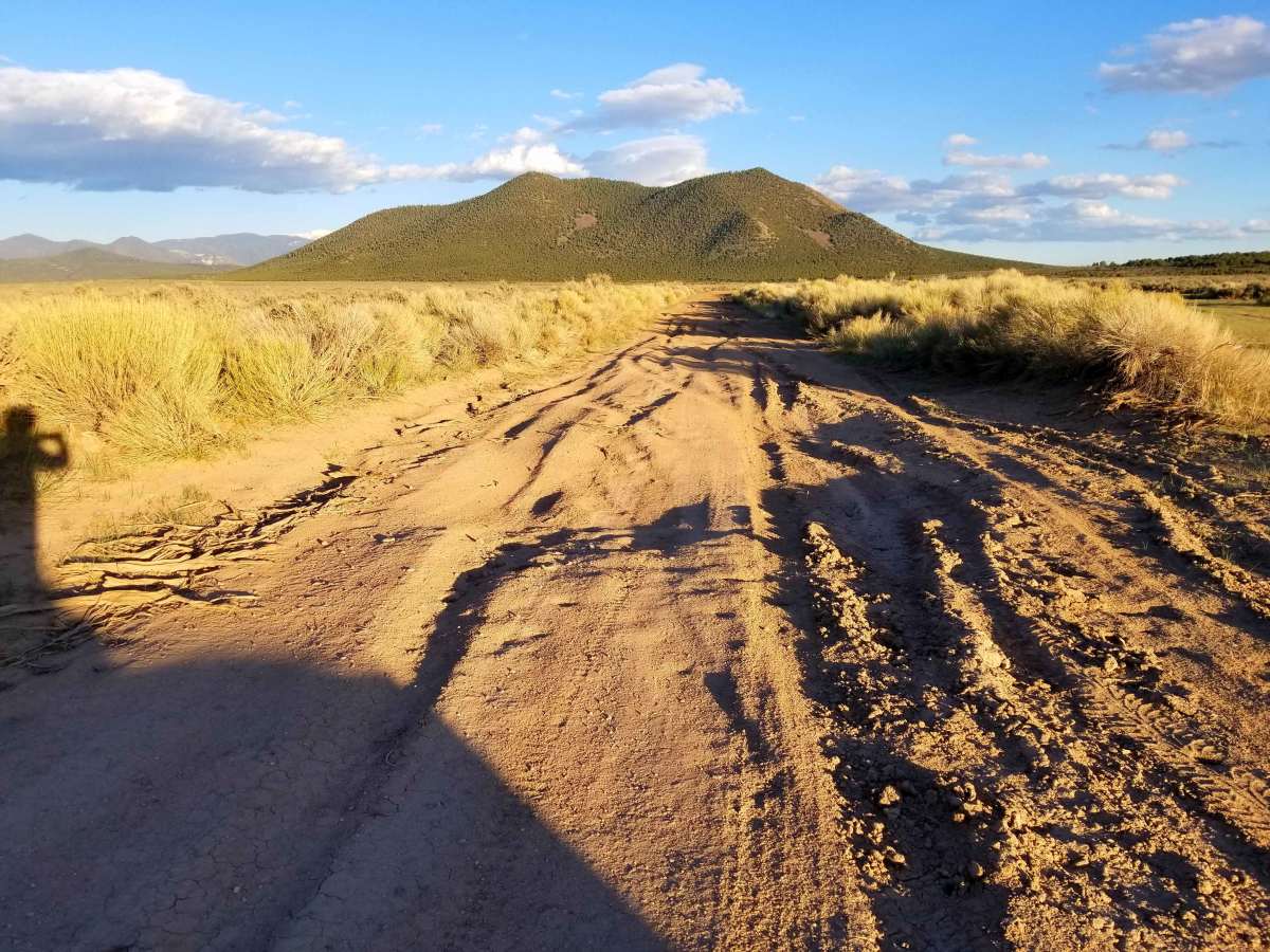
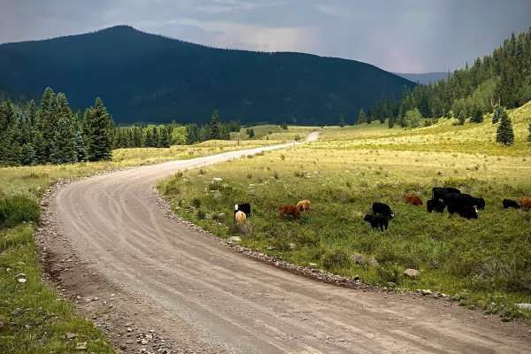
Taos Valley Road 5030 North

Total Miles 52
Technical Rating
3 Easy
Best Time Varies
Open Trail Map

Trail Overview

If quiet and solitude are what you're looking for, you've found the right trail. This is one of the most remote sections of trail in the San Luis Valley. The stunning scenery of the vast Rio Grande Del Norte National Monument, wildlife (deer, elk, antelope, bighorn sheep) viewing opportunities, and the Black Rock Hot Spring area are all highlights. Cell service is spotty, and extra fuel and tire repair equipment are highly recommended. The road smooths out close to Arroyo Hondo. Slow down as you pass between Cerro de la Olla, Cerro Chiflo, and Corro Montoso and you will likely be able to spot elk and bighorn sheep. As the trail heads further south, it winds its way down into the magnificent Rio Grand Gorge, and eventually across the John Dunn Bridge over the Rio Grande River. This is only one of three bridges to do so. The Black Rock Hot Spring trailhead is located at the second switchback before the bridge at the bottom of the gorge. The foot trail down to the spring is a quarter mile of steep and rocky terrain.

Photos of Taos Valley Road 5030 North

Technical Rating

3

Status Reports

Add Status Report
Pat Wright
Sep 09, 2024
Open
There was a landslide in 2023. The county has closed the road at John Dunn bridge and erected barriers. It is actually passable on foot, bicycle or small moto. Be aware that the enforcement lies mostly with the BLM. You can still access this trail from HWY 64/ County 007, several miles NW of the big Rio Grande Bridge. This trail can be very difficult for any vehicle class, if muddy.
JC Diaz
Jul 07, 2024
Open
The beginning of trail north side is blocked. Need to enter through the road after the entrance. Had to open gates manually. One that said not public but it was only to cut through to another road. Please put gates back. Bridge entrance still close.
Joe B
May 22, 2024
Open
Do not attempt to enter the trail from the bridge. That end of the trail is blocked - foot traffic only.
Kevin Burbach
Feb 09, 2024
Open
At the intersection where you would turn right, it says closed to the public administrative use only
Scott Willeford
Aug 17, 2023
Open
Anita Brewer
Apr 23, 2023
Open

Taos Valley Road 5030 North Map

The onX Offroad Difference

onX Offroad combines trail photos, descriptions, difficulty ratings, width restrictions, seasonality, and more in a user-friendly interface. Available on all devices, with offline access and full compatibility with CarPlay and Android Auto. Discover what you're missing today!

Open Trail Map