Trail Overview
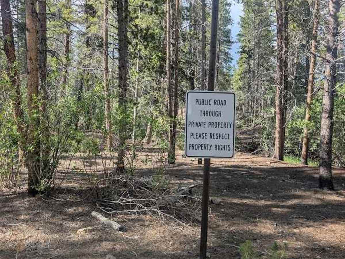
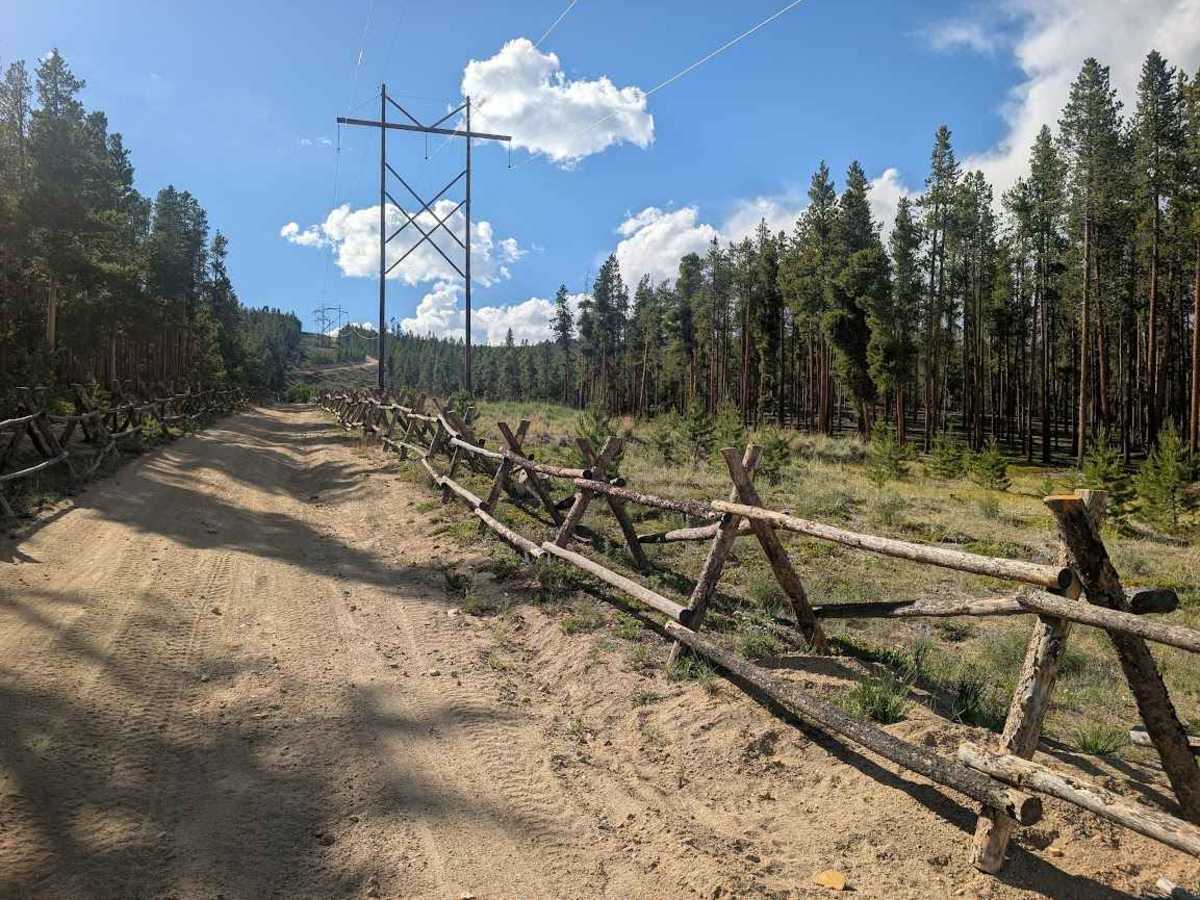
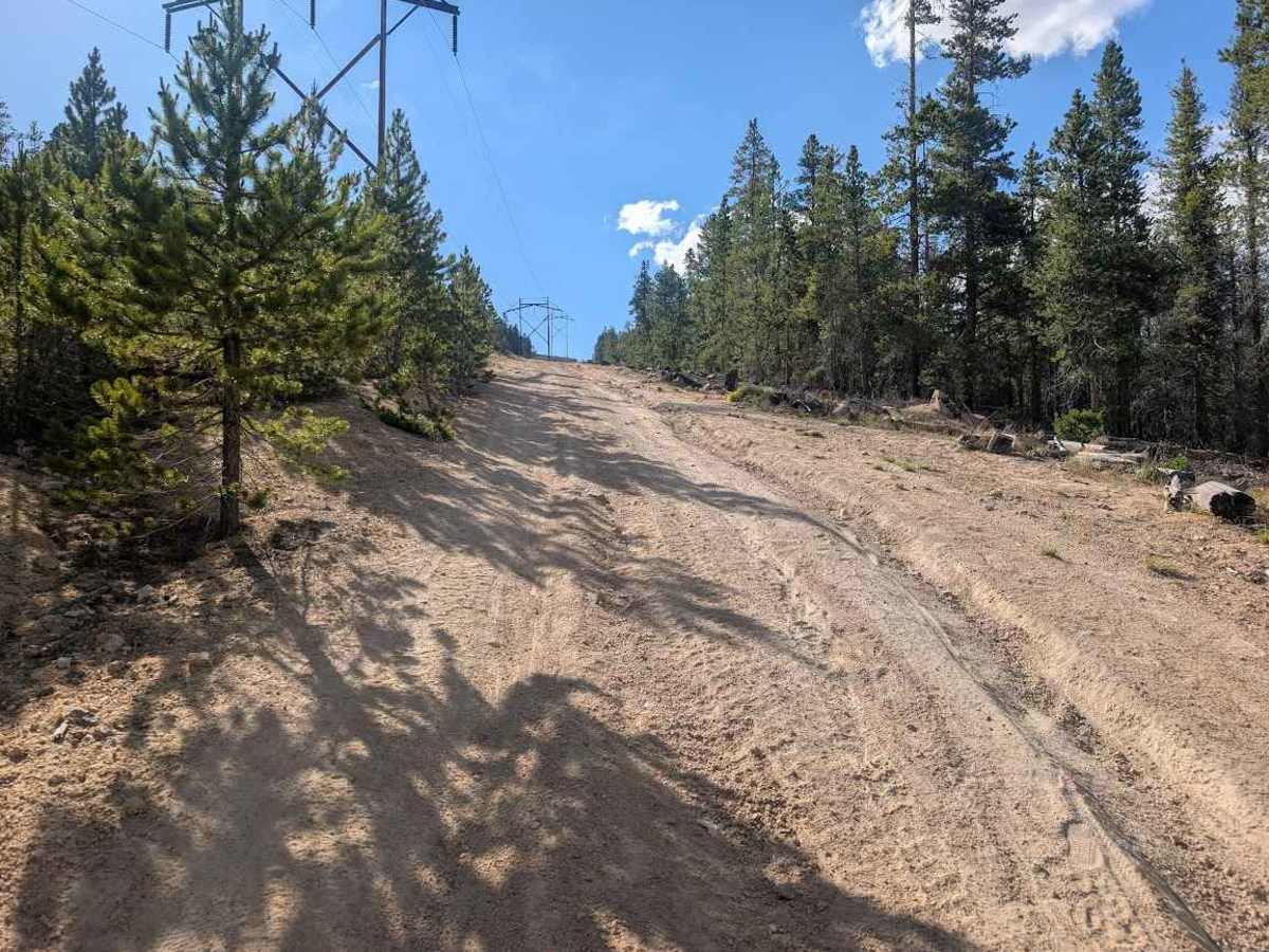
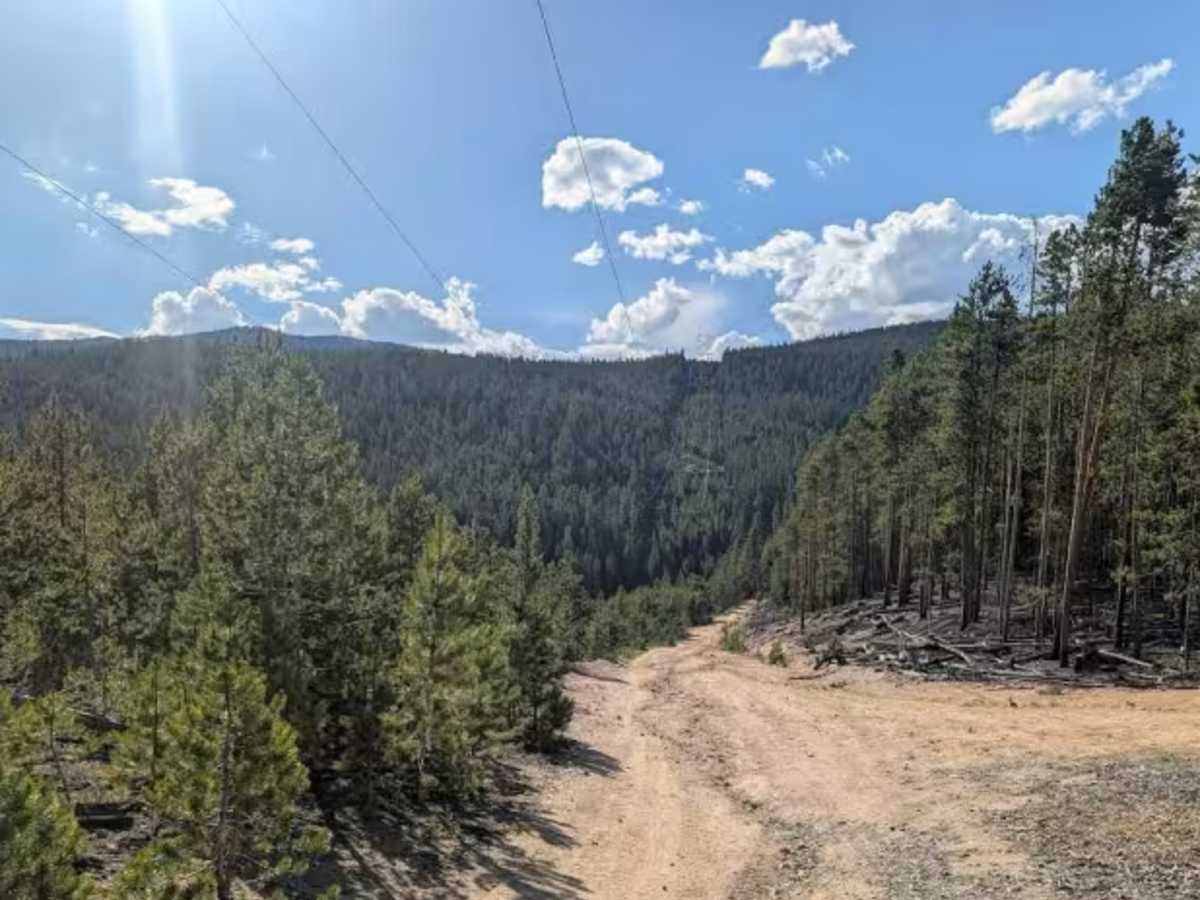
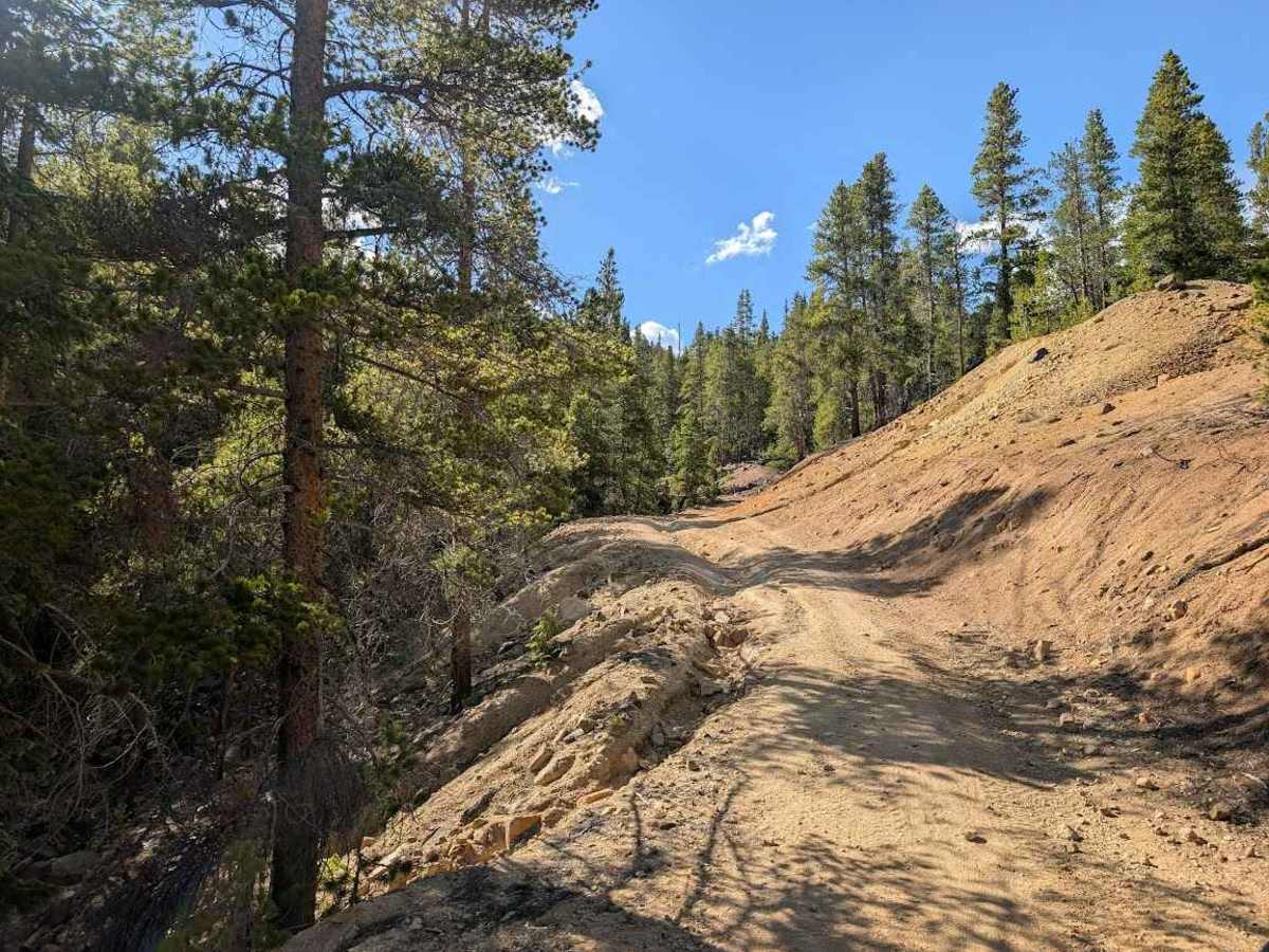
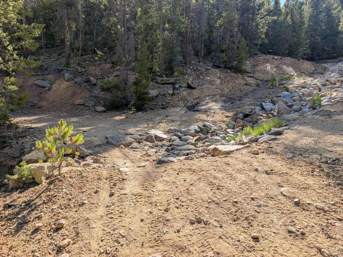
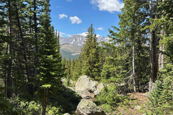
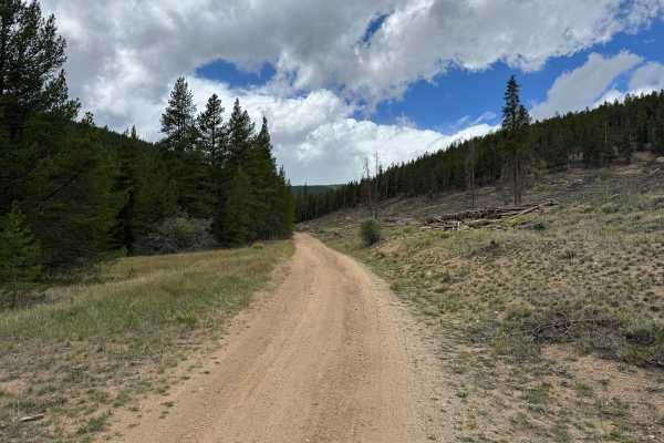
Sugarloaf Mountain Road should be called Power Line Road, as you can see or hear buzzing power lines most of the way. Accessed either from Hagerman Pass in the west or from County Road 5A in the east, this trail has just enough interesting features to keep things fun. When starting in the east, public access is granted through private property, and you'll quickly face steep hill climbs that aren't advised in anything but perfect weather conditions considering the substrate would likely become ultra slick with the slightest bit of moisture. At the higher points on the trail, the way narrows and you'll find larger ruts and rocks which may require careful tire placement. There are a few campsites along the way within the national forest boundary, and you are afforded views of Turquoise Lake. Although it may not save you any time, this trail is an alternate way to access Hagerman Pass in lieu of traveling along Turquoise Lake Road to the north while the southern route is closed.